Trail Journal
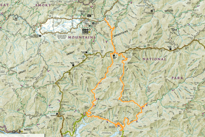
I’m lounging like a sloth on Edisto Island during the last day of a family vacation when I get a text from Chris, my friend and training partner for the Tour de LeConte. He’s texting to let me know about a 42-mile loop he’s tackling in the Smokies instead of joining me for a day hike I invited him to on the Art Loeb Trail (which is “only” 30 miles).
He tells me I’m welcome to come along, and I laugh out loud. “Is he crazy?!” I say to the ocean. I’ve never hiked 42 miles in a day, much less on two of the toughest trails in the entire park by my assessment. Hell, I’ve never even hiked more than 30 miles in a day!
Within an hour, I discover that I’m the crazy one when I text him back and say I’ll join him, but I tell him nervous because I know I probably can’t keep up with him. His reply? “It’s a team effort! We’ll push and pull each other.” Words like this validate why I know Chris is the perfect teammate for this endeavor, and my anxiety slowly morphs into excitement, ready to see if I have the stamina to finish.
Two days later, my alarm clock goes off at 1 a.m. I hop out of bed, feeling as if I just got in it (I practically did), and look at myself in the bathroom mirror. “You’ve got this,” I whisper to the middle-aged woman with heavy bags under her tired eyes staring back at me, not quite sure if I believe it or not.
I meet Chris at the Lead Cove Trailhead, over 2 hours away, at 4 a.m. Our strategy is to knock out the bulk of our night miles on the front end of our hike when we’re not as tired mentally and physically. I haven’t seen Chris since he returned home from his thru hike of the PCT, and the conversation flows freely as we climb. I love hearing more stories of his journey that didn’t make it into his written accounts of the trip.
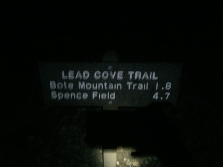
Clearly my eyes were still too tired to see how blurry this picture was when I took it at our start!
When we reach Jenkins Ridge, I know our tiring foot work will begin, as Jenkins is eroded and steep in many places. Interestingly, it feels much less sketchy in the dark and going down it (I went up it about a month prior). We watch the sun rise as we descend, and the colors are a perfect motivation to start the daylight hours of our trek.
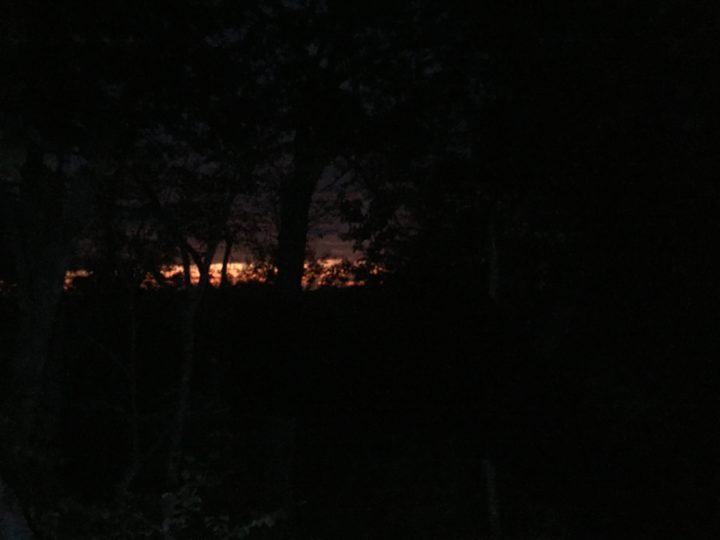
The sunrise was truly magical to watch as we hiked along the trail.
When we reach the junction of Hazel Creek, we’re met with cruiser trail for the next 4 or so miles. I tell Chris my mental strategy for this hike is to think of it as trail segments rather than miles. We have ~9 segments to complete, and by the time we stop for lunch, we’re already 6 segments into the entire day (never mind the fact that we still have our longest and most tiring ascent ahead on Eagle Creek!).
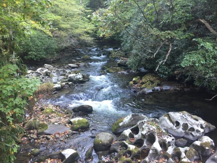
It’s hard to not love Hazel Creek.
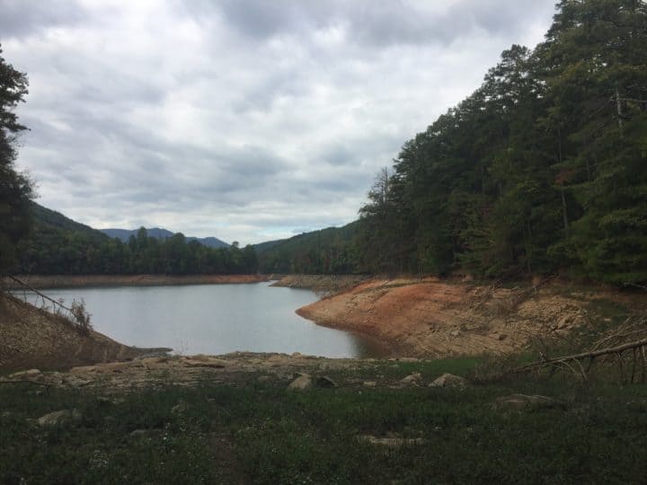
Fontana was so low!
We eat our lunch in Proctor on the porch of the Calhoun house. It feels nice to sit for a few minutes, but I don’t want to sit long, for fear of stiffening up and not being able to move again. Thankfully, it’s not too bad when we get going again, and the Lakeshore Trail treats us kindly with its quick ups and downs.
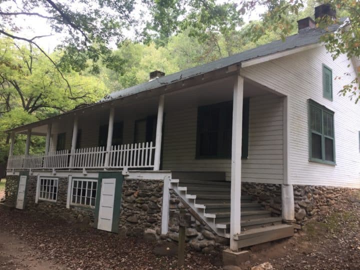
The Calhoun House in Proctor.
When we reach Eagle Creek, I mutter under my breath, “Let the pain begin!” Normally, I would be anxious about the 17 creek crossings ahead, but they’re all very manageable with the lack of rain. In fact, Chris is able to rock hop across every single one. I don’t dare try with my much shorter legs, knowing I’ll never make it and probably fall on slick rocks trying, but it’s fun to watch him succeed.
The cool water feels amazing on my feet so all is not lost, and I have an extra pair of socks packed away if my feet are feeling macerated after we finish the last one (I almost always wear my Altra trail runners through creek crossings versus taking them off at each one).
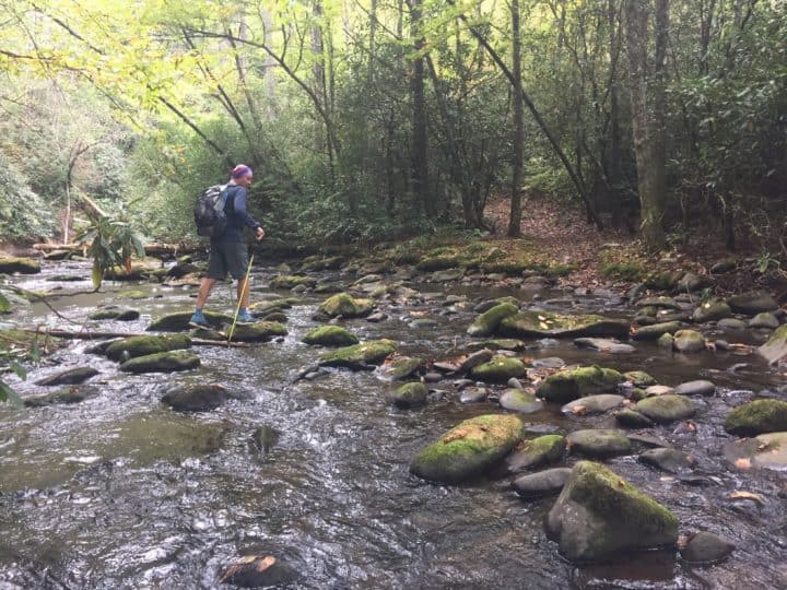
About 2 miles from the end of Eagle Creek, the trail rises sharply and is a relentless climb. We put it in low gear and grind it out up the mountain. I’ve determined that one downside to becoming much more fit during my training efforts is that I don’t need to stop and catch my breath as much on long ascents. It still hurts just as much, but I can keep going. Oddly, it’s a bigger mental hurdle to jump since my brain is screaming at me to just stop already, but my lungs and heart aren’t having any of it.
We reach the top of Eagle Creek and are greeted by a father and his two sons who are camping at Spence Field Shelter. They tell me they’ve never seen someone so fashionable on a trail (I’m wearing my awesome Lightheart Gear dress), so I curtsy and thank them. We talk to them briefly and watch their eyes widen in surprise when they ask how far we’ve hiked.
Daylight is starting to fade, so we keep moving. I’m thankful we couldn’t make reservations at the full shelter (which was our bail out plan if we were too tired to finish out the hike), since we both have plenty of gas left in our tanks to get to our cars.
When we reach the intersection of Bote Mountain and the A.T., I’m so excited because it’s all downhill from this point. I know we’ll make good time and potentially make it to our cars before 16 hours has passed since we left them. I had projected the hike would take us about 18 hours to complete, and I’m excited that we’re beating that time!
We take our minds off our tired feet and knees by talking about funny movies we both like. If there are any bears in the area, I’m sure I scare them away with my laughter. It feels good to laugh and not want to cry (and I honestly didn’t know which I’d feel like doing by this point). I’m so thankful I didn’t let my fear talk me out of this hike.
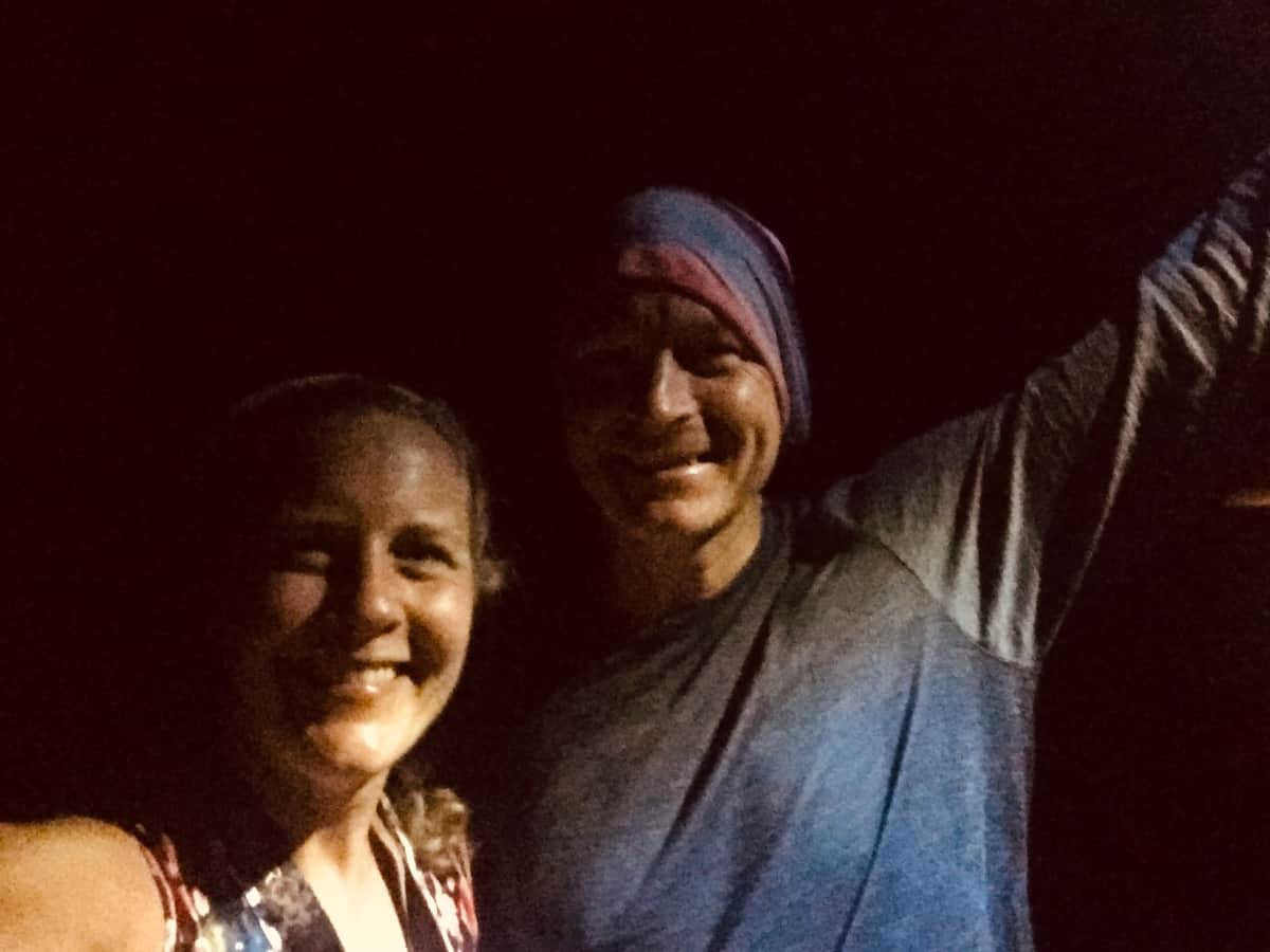
When we reach the car, we both have food and drinks waiting for us in our cars, and all I can think about is opening my cold Coke! We attempt a selfie in the dark, but it becomes a comical challenge as our headlamps make us look like Halloween ghouls until we discover we should hold the light above our heads, not below them!
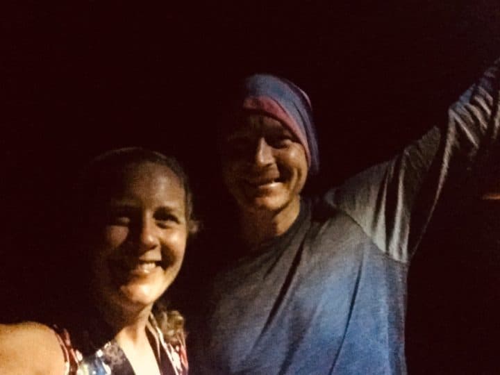
All smiles at the end!
We high five before leaving and I drive away with a big ol’ smile on my face, feeling confident and ready for the Tour de LeConte Challenge. It’s been quite the journey, ramping up my mileage to this level, and I don’t regret a second of the pain and miles it took to get to this point. Amazingly, my body feels great. My knees were a little sore towards the end, but my feet are what I worried about the most and they rocked it.
Now that I feel prepared physically, my only job left (besides attempting the Tour de LeConte this upcoming weekend!) is to raise $5000 for the Trillium Gap Trail restoration work.
We’re a couple of thousand dollars short of that goal still.
But I have no doubt there are kind and generous people who love these trails as much as we do and are willing to donate a dollar per mile of the Trillium Gap Trail ($9). At least I hope there are, because nothing would be more gratifying than meeting that goal and giving back to a park that has given so much to so many.
So I hope you’ll consider becoming one of those donors (if you haven’t donated already). 🙂
TRAIL REPORT CARD and GPX TRACK
Mileage: 45.5 miles
Type of Hike: Lollipop loop hike
Potential Hazards: The water crossings on Eagle Creek can be dangerous in high water. For your own edification, The “$1 map” of the Smokies has a very helpful list of all the streams in the Smokies that may be difficult and/or dangerous with high water during or after rain. I’d personally call the backcountry office before heading out on Eagle Creek, just to make sure it’s not too challenging for all the crossings.
Suitability for Kids: Nope!
Dog Friendly: No. Dogs aren’t allowed on trails in Great Smoky Mountains National Park with the exception of the Gatlinburg Trail and the Oconaluftee Visitor Trail.
Permits: No permits are needed to hike the trails in Great Smoky Mountains National Park, but they are required for camping in the backcountry. Reservation information for backcountry website the park’s website.
National Geographic Trails Illustrated Map of Great Smoky Mountains National Park
I carry the 10 essentials in my pack at all times and you should too! If you’d like to know what gear I use and recommend, here’s my gear list. I also invite you to join my Facebook Group, where I not only post the best deals on quality gear that I can find, but I also provide education on backcountry safety topics via Facebook Live events. It’s a fabulous group of people and I like to think of it as one of the nicest Facebook groups out there. 🙂
My Gaia Tracks from This Hike
If you are interested in using Gaia, you can get a 20-50% discount off a Gaia subscription (and I highly recommend it). I use it for both SAR and personal use exclusively.
[content-upgrade id=”3163″]
