
Witch Hobble changing colors…a harbinger of fall. Witch Hobble was once placed on the front doors of people’s homes because they thought it warded off witches!
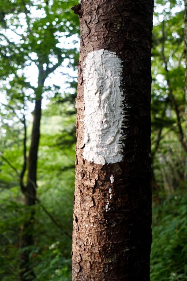
- Appalachian Trail marker
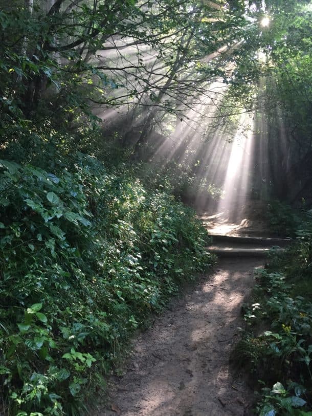
- The A.T. rising out of Newfound Gap
Two of my friends, Jackie and Lane, had been hiking all day on various trails to get there, and three others had hiked in just before me. The trip was coordinated via Meetup, and if you’e never heard of it, I highly encourage you take a look at the linked website. You can find local groups to suit just about any outdoor hobby and a calendar of events that provides instant companions for these activities.
For the past year, Lane has been hosting “Backpacking 101” style trips through a Meetup named Great Smokies Hiking and Adventure Group, in an effort to educate folks well before they head out into the backcountry. When my schedule allows, I help him with them (Jackie does too), and it’s been immensely rewarding to meet like minded people who want to get out in the woods more and be responsible in the process. The people on this trip were all “graduates” of Lane’s classes, and it was great reconnecting with friends and also making new ones.
It was nearly dark by the time I arrived around 8:15, and everyone was hanging their food bag and getting ready for bed. “Hiker midnight” comes on fast when the veil of darkness descends in the woods.
This was my first experience in a shelter, and I was admittedly a bit apprehensive about mice scrambling across me in the middle of the night! I woke up once, swearing I felt something touch my face, but only heard the pitter patter of mice feet on the roof of the shelter.
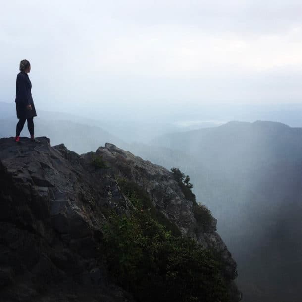
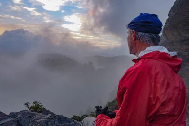
The next morning, three of us woke up extra early to hike a mile to an iconic rocky promontory called Charlie’s Bunion. Our mission: Watch the sun rise. The sun sure had received a lot of attention the previous week because of the eclipse, but I was eager to witness the every day miracle of it illuminating the earth.
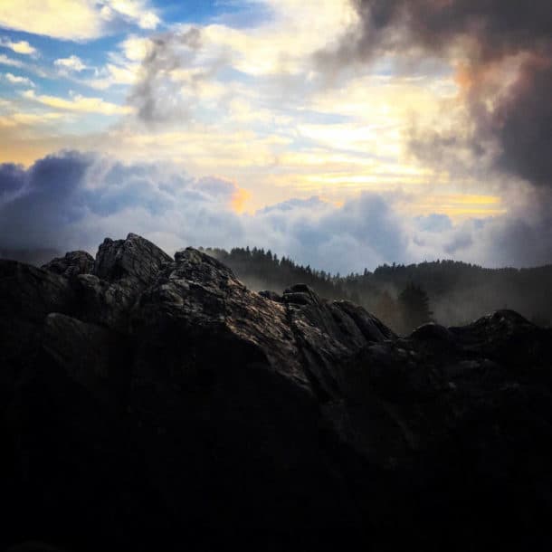
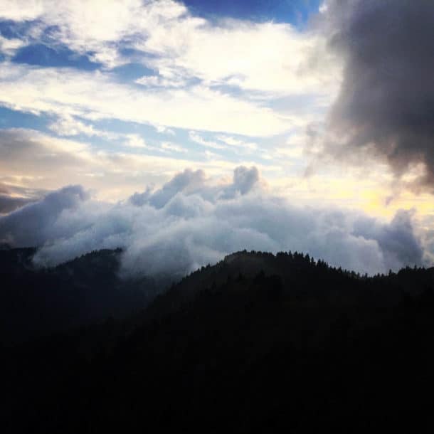
- Sunrise at Charlie’s Bunion
- Lane’s just an all around awesome guy.
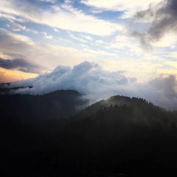
When we arrived, the fog was thick and we were less than optimistic that we’d see much. Silly me, I should know better than to think the Smokies would disappoint. In an instant, our view transformed from a blank canvas of white to a mystical dance of fog rolling in and out of the valleys, revealing a landscape filled with peaks and valleys of our planet’s oldest mountains. Pure magic.
We eventually tore away from the show to head back to camp, where two more people had hiked in from Newfound Gap to join us for our day hike to Mt. LeConte–Chris (who also helps teach Backpacking 101 courses) and Amu, a newbie. We got ready to leave, but not before celebrating the birthday of Helen Mary with s’mores bars that I had made and packed in for the occasion.

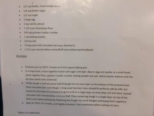
S’mores Bars for Helen Mary’s birthday (the recipe is at the bottom of this post–they’re super easy and pack well for surprise birthday parties in the woods 🙂
With legs now fueled by sugar, we headed up the A.T. until it met up with the Boulevard Trail. From the Boulevard, we hiked to the summit of Mt. LeConte, one of the Smokies’ crown jewels. The ascent was easy with the companionship of interesting people and thoughtful conversation.
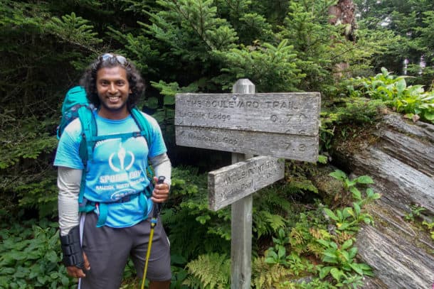
Amu, the newest member of our group, was our “sherpa” for the day, since he wanted to carry everyone’s packs to try them out before he purchased one! He was a joy to get to know.
- Grass of Parnassus
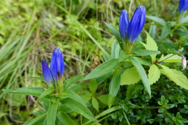
- Purple Gentian
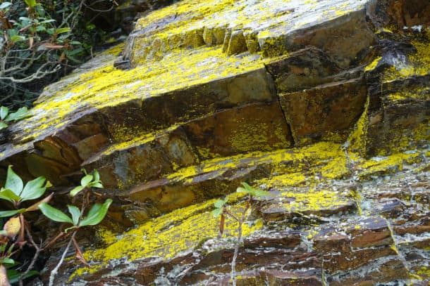
- Freddy Fungus took a “lichen” to Alice Algae–a fun tool to remember what lichen is comprised of!
- Grass of Parnassus
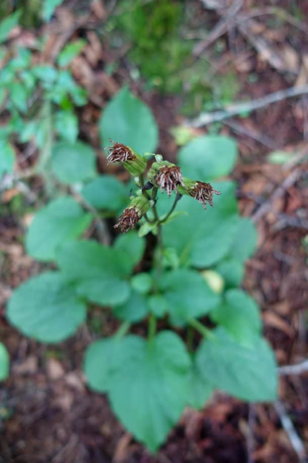
- Ruggel’s Ragwort–the only place you’ll find it is in the Smokies!
- The beauty of small things
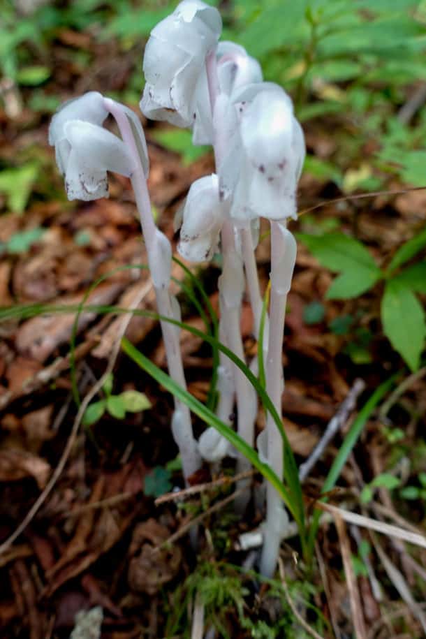
- Indian Pipe
(If you’re interested in learning more about wildflowers in the park, Wildflowers of the Smokies is one of my favorites)
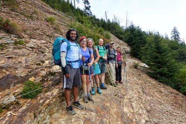
Almost to the top!
At the top, we enjoyed our lunches together and milled around a bit. The lodge was surely full since it’s peak season, but the mountain did not feel overly crowded. I have hiked LeConte about 10 different times, but oddly this was the first time I’d been there when the lodge was open. I wandered around a bit in the the common area for guests and loved reading some of the stories swirling around its colorful history.
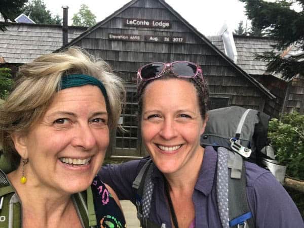
The happy girls are the prettiest girls. ~Audrey Hepburn
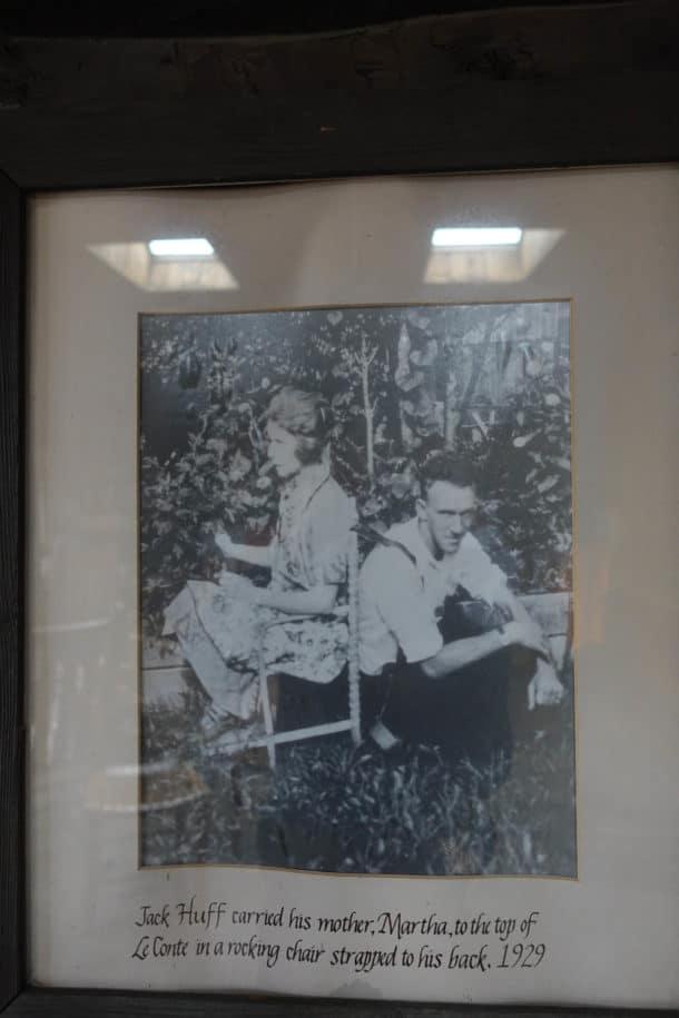
- This is one of my favorite stories in the lodge!
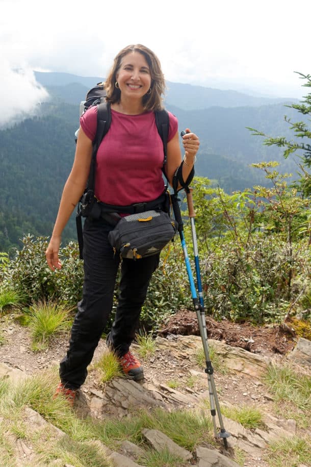
- Florence is a French professor at U.T. and is a native of France–she was so much fun!
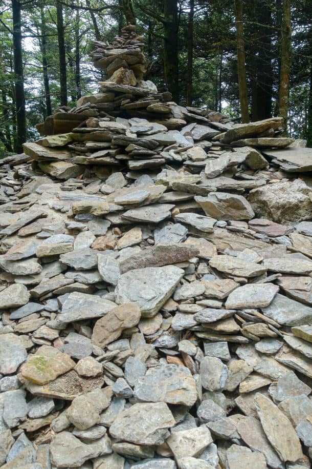
- The ever growing rock cairn on LeConte’s summit
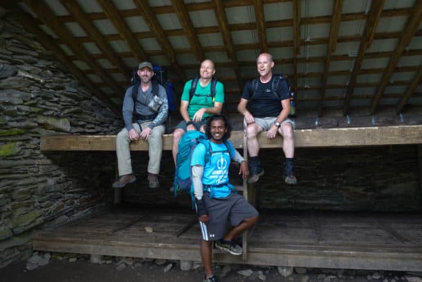
- The guys in the LeConte shelter
We started our descent down the Alum Cave Trail. This trail is popular for good reason: Big views and geologic wonders dominate the scene and make the toe pounding descent much less painful. It has recently undergone extensive work, and the improvements to the trail were noticeable and very much appreciated.
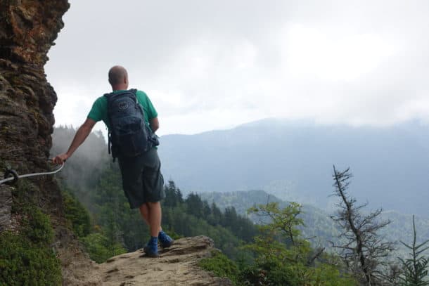
- Obligatory “take in the view” moments abound on the Alum Cave trail.
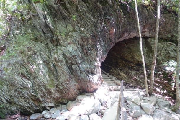
- Arch Rock was formed by freeze/thaw cycles. Softer rock was eroded away from underneath harder rock.
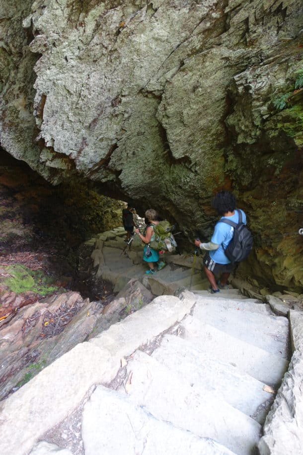
- Descending into the tunnel formed in Arch Rock
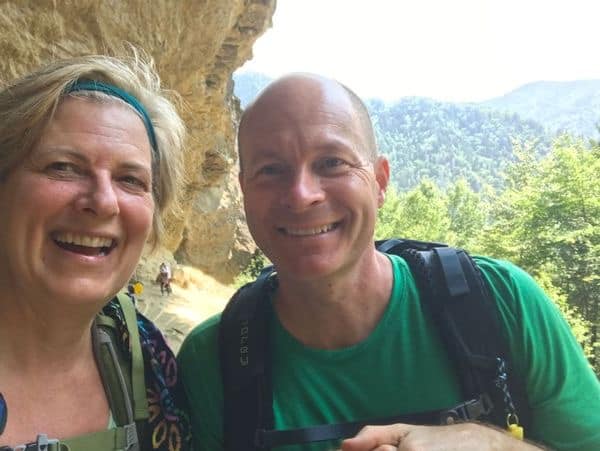
- Jackie and Chris have both thru-hiked the entire Appalachian Trail!
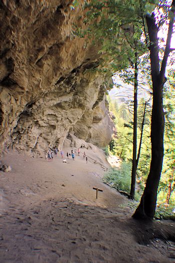
- Alum Cave
Five miles later, we emerged from the woods, into a parking lot overflowing with cars. A quick shuttle back to Newfound, and we ended the day with promises to “meet up” again for another grand adventure!
Trail Report Card
Overall Grade: A+. It’s hard to go wrong with a trip up LeConte. There are five ways to reach the summit, each unique, and I’ve yet to find a path I don’t like.
Type of Hike: The way we hiked, it was a “Y” configuration, since we tacked on the overnight at the shelter and the sunrise jaunt to Charlie’s Bunion. That leg could be eliminated for a one-way day hike option (or you could overnight at the top at the LeConte shelter).
Mileage: 16.5 miles (see track below with elevation stats and such).
Suitability for Children: My kids have hiked up and down LeConte via the Alum Cave trail on two different occasions, and any reasonably fit child over the age of 8 shouldn’t have a problem, especially with some hiking experience. There are some areas with steep drop offs though, especially on the Alum Cave Trail, so be mindful of these places.
Camping: The Icewater Springs shelter is just a few tenths of a mile further beyond the A.T-Boulevard Trail junction. There is also a shelter at the top of LeConte but it is often closed for bear activity once the high season for the lodge begins.
Wildlife Encounters: None other than some red squirrels, mice in the shelter(!), and a few birds.
Water: Rather dry on the Boulevard Trail but a few reliable sources on Alum Cave.
Solitude: The A.T. and Alum Cave trails are both very crowded on a typical day. The Boulevard offers more solitude usually.
Gaia Track for Hike:
Recipe for S’mores Bars 🙂




Nancy great blog!!
Thanks, HM! It’s a fun little hobby and the next best thing to being on a trail! 😊