Snowmass Lake to Original Trailhead of East Fork of West Maroon Pass Trail (14.5 miles)
The morning was beautiful as I packed up and headed out of camp. Snowmass Lake was a hard place to leave but I was eager to tackle not one, but two passes before lunch. The climb to the top of Trail Rider Pass (12,500 feet) was the easiest so far, gradually gaining altitude on switchbacks that weren’t overly steep. I encountered some backpackers I had met on the first day and it was fun to compare notes. They had camped at a higher elevation on the first night and woke up to over an inch of snow! After cresting the pass, I descended down the other side and was thankful I had chosen the counter clockwise route for this loop–the trail was super steep in many places and very long.
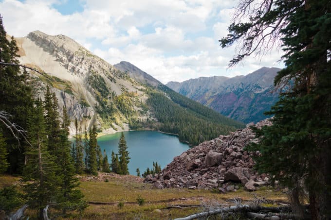
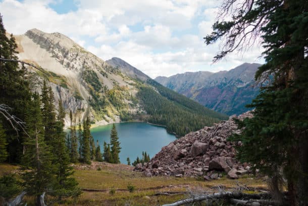
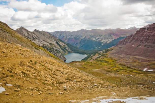
- Snowmass Lake from above
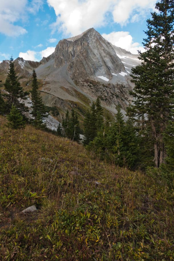
- Snowmass Mountain
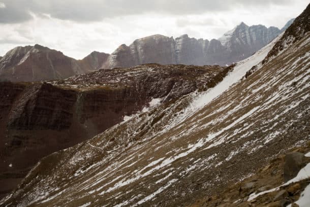
- Climbing higher above Snowmass Lake
And just like that, I heard my name being called. I looked down the trail and there was my friend Steven, heading up the pass! I knew we would probably cross paths since we communicated before I headed out, but it was still so exciting to see him! No surprise, he didn’t look tired or winded, even having run nearly 12 miles already that morning. He was with 6 friends also running the loop, and they were simply awe inspiring! We chatted for a few minutes and agreed to meet up for dinner that night.
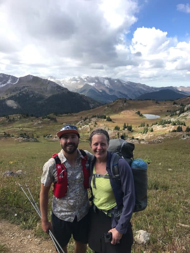
So glad I got to see Twinkle out there!
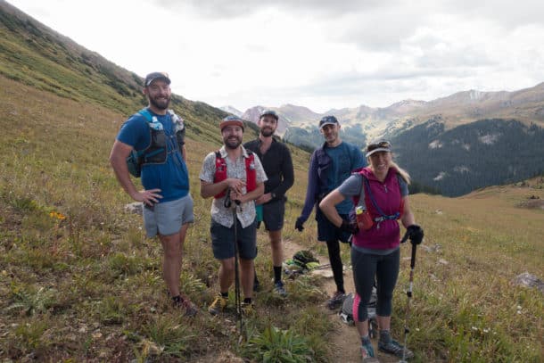
Bunch of bad ass runners! (Two of them had already run ahead a little further)
I met Steven (otherwise known by his awesome trail name “Twinkle”) when my family hosted him and his four hiking companions when they were thru hiking the Appalachian Trail in 2014, and we became fast friends. Paige and I had the honor of attending his wedding last year to the loveliest of brides, and we’ve seen each other rather serendipitously four summers in a row now! The trail community is a tight knit place and some of my dearest friends have been made in the backcountry.
As I continued the long, attention-demanding descent, I heard voices behind me, approaching quickly. I turned around and in a flash a man and a woman blazed by me. The fact that they were running down this trail was nothing short of insane–I would have been flat on my face within seconds! I later learned the woman is an elite ultra runner which didn’t take much to figure out just by watching her. The record for someone running this trail, by the way, is 4-1/2 hours which truly boggles my mind!
I cruised through Fravert Valley and loved the tranquility it shared with me. Inspired by another blog I love, Take a Hike Photography, I originally intended to camp here because I knew this valley would turn magical in the fading light of day; however, I decided I’d rather move on out to get in a good visit with Twinkle and his friend Guthrie over dinner.
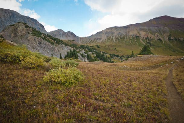
- Fravert Valley
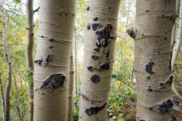
- Love me some aspen trees, even the bark
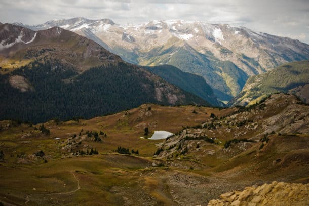
- Looking down onto Fravert Valley
I started ascending out of the valley towards Frigid Air Pass (elevation 12,281 ft.). I came across yet another runner, this one sitting on the side of the trail, hurting from his efforts, and not sure he would finish the loop with running legs. Since the skies were growing darker, I asked him if he knew the forecast. No sooner did I ask when I heard a rumble of thunder in the not so far distance. He said it wasn’t an ideal time to cross the pass, but he didn’t have a choice (he was running without much clothing or gear–perfect conditions for hypothermia if he stopped for very long). I told him I had a pack full of gear and clothes that I could share if he felt safer staying put a little while. He said he’d get to tree line and make the call to proceed or not and he kept heading on.
As I deliberated if I should return to a spot further down the trail that offered more protection, the weather turned very ugly, very quickly as it traveled across the ridge line above me. Hail, wind, thunder and lightning surrounded me in a high altitude meadow with nowhere to go and seek more protection, if such a thing even exists when you’re in the midst of a storm like this. I hunkered down, trying to stay in a squat position as low to the ground as possible, frantically calling on my memory for other best practices in a thunderstorm. Not much could assuage my fears in those 15 minutes. The only thought that played on repeat was how lightning is the number one killer of people in the Colorado backcountry.
Finally, the storm passed and I was left with frazzled nerves and a decision: Descend back several miles to a lower elevation with more woods and decide if I should tackle the pass and finish the loop later in the day (I had about 6 miles left), or just camp and stay put until tomorrow. Usually I’m thankful for the forced “unplug” when I’m backpacking, but what I would have given for a signal to look at a radar. I had no idea if this was going to worsen or improve, and if it was safer to stay put or quickly finish before it deteriorated more. For the record, I checked the forecast before I started this trip and none of the bad weather I was experiencing had been forecasted.
I made up my mind to descend back a few miles and started heading that way. Shortly after I started moving, I heard voices from two men coming down the trail behind me. They had crested the pass during the storm and were caught by surprise too. They said it was an experience they would not like to repeat and that the skies didn’t look as ominous on the other side of the pass (when you’re in the valleys like this, it’s next to impossible to tell what’s coming over the ridge line from the other side). I started to see some blue sky even peeking through the cloud cover, so I decided to chance it.
I hauled butt up the pass, ignoring the protests from my lungs and legs. As I reached the top, I encountered another group of backpackers who had climbed it from the opposite direction. They said there wasn’t much cover for the next couple of miles but that they had not heard thunder since the last storm. The trail was a muddy, steep mess, and it was difficult to move quickly without losing control, but I eventually got to the valley and almost immediately a loud rumble of thunder shook the ground, as if to remind me of its power. And just like that, another storm approached over a neighboring ridge. This storm produced less lightning thankfully, but the hail was pelting me sideways in the wind. I decided to keep moving and came across a small group of evergreen trees where I took cover in the midst of them. Was this as dangerous as standing under one lone tree? I couldn’t remember, but I took my chances since I wasn’t being assaulted sideways by hail.
The storm passed and within minutes the sky folded back its thick blanket of doom and revealed large pockets of brilliant blue again. It was truly unbelievable how quickly the scene changed. The sky was still dark and threatening way in the distance, so I didn’t waste time and kept a quick pace all the way back to the trailhead.
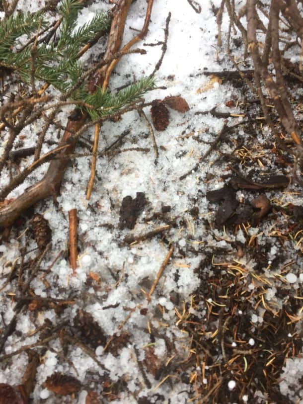
- As I sat tucked away in the cluster of trees, the hail still fell all around me
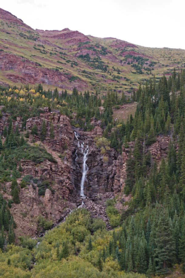
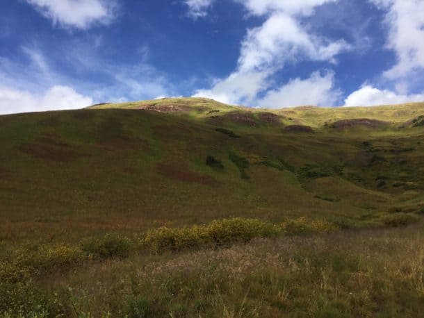
- Even after being rattled by the storm, I couldn’t help but notice the beauty everywhere around me.
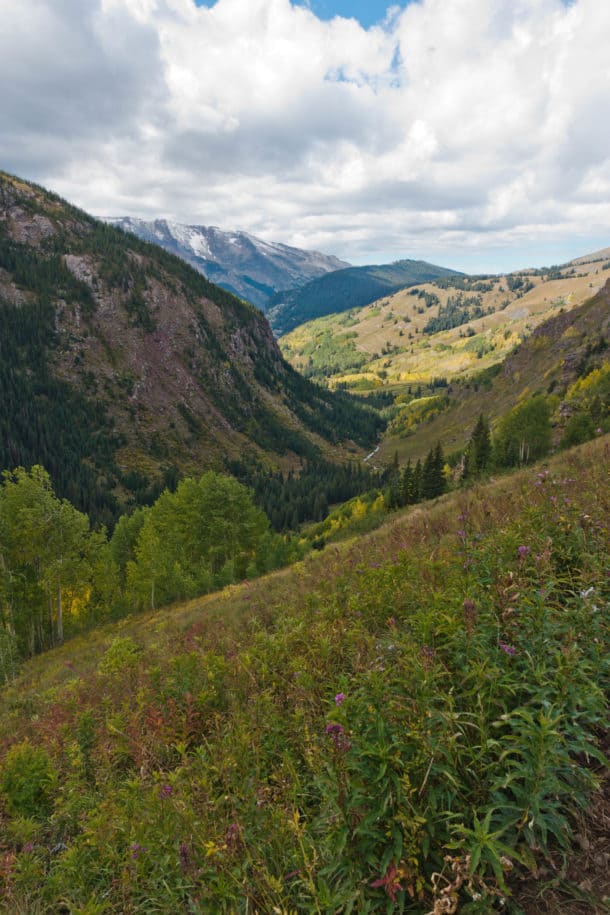
- Within minutes after the second storm, this was my view!
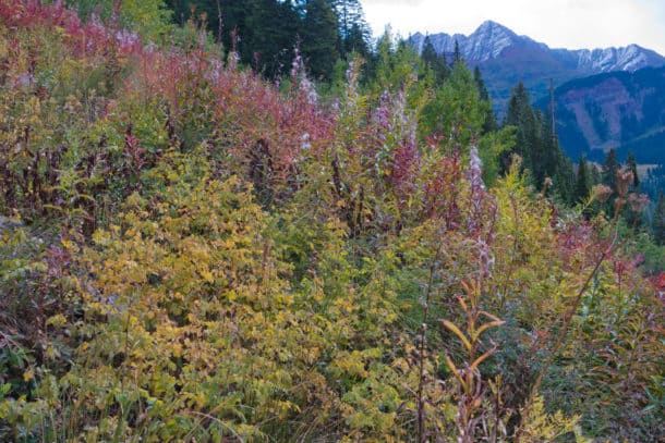
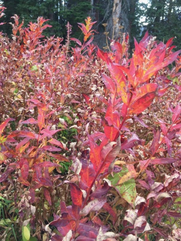
- The colors of fall
I was so thankful to be finished. I hated that I ended the trip on such a scary note and wondered if I had overreacted to the threat. Over dinner, Steven and his friend Guthrie, both accomplished long distance thru hikers, validated my concern by saying it snuck up on them too and they were worried during it. Forget bears and mountain lions, it’s lightning (and ticks) we should be most cautious about in the woods!
As I drove out of Crested Butte that evening, I saw several flashes of lightning in my rear view mirror, further validating my decision to hike out a day earlier.
Despite the storms, it truly was a marvelous journey. Even though I missed out on circling Mt. Rainier this year, circumnavigating the Maroon Bells turned out to be everything I’d hoped for in a “mombatical” and I’d highly recommend it, thunderstorms and all.
“Once in a while you have to take a break and visit yourself.” ~Audrey Giorgi
How I Got There for Free
I used American Airlines points to travel from Asheville to Denver, purchasing my ticket for the lowest tier available (25,000 points for a round trip ticket) and on the day of my departure too! It goes to show that you don’t have to plan a trip months in advance to use points. I was also thankful that I could cancel my trip to Washington (which I had used Southwest points to book) and I was able to refund the ticket just hours before my flight at no cost and with the points redeposited into my account).
For my two nights in hotels, I used some of my Marriott points to stay free of charge in two different Fairfield Inns. Here’s the link to the Marriott Visa I obtained to get these points, if you’re interested in learning more about it (and right now, the sign up bonus is 80,000 points which is really good!)
So for the cost of a rental car and gas, I was able to take a long weekend trip to one of the most scenic areas in the country. The power of these points and the places they take me is pretty darn amazing!
Trail Report Card
Overall Grade: A+
Mileage: 33.81 miles if you start from West Maroon Pass Trail out of Crested Butte and add the out- and-back leg to Maroon Lake like I did. Mileage is closer to 26-27 miles if you start at the more popular (and more crowded) Maroon Lake trailhead.
If you start at Maroon Lake, read this information in regards to parking and the shuttle system. You’ll pay whether you park or take the shuttle, so keep that in mind.
Most folks take 3-4 days to do the loop, but however you do it, I highly recommend you build in enough time to cross the mountain passes before noon, before thunderstorms become more likely. Even in the shoulder seasons thunderstorms can occur quickly, despite a clear forecast, as I found out!
I hiked the loop counter-clockwise. It’s debatable which is easier, and many websites recommend clockwise, but I sure was thankful I didn’t have to ascend Trail Rider Pass and I’d do it counter-clockwise again, based on my own observations.
Risks:
- Thunderstorms
- Altitude sickness–elevation ranges from 10, 500 to 12,500 feet the entire trail.
- Precipitation uncertainty–I wasn’t expecting anything more than rain but it hailed and snowed on me too. Be prepared for a mixed bag, especially in the shoulder season of late summer/early fall.
- I suppose black bears are a potential threat, but bear canister requirements mitigate the risk of unwelcome visitors in your camp. I didn’t see any evidence of bears the entire hike.
- Remote backcountry–I did not have a cell signal at any point on the trail (and I tried searching for one at each pass). As always, I carried my ResQLink Personal Locator Beacon in case something went terribly wrong and I needed assistance.
Rewards: High alpine lakes, meadows, mountain passes and breathtaking views, almost every step of the route. Snowmass Lake is a must do camping spot, in my opinion.
Wildlife I Encountered: Pika and marmot sightings (they are so stinkin’ cute!), squirrels, and oodles of Colorado Chipmunks (who are also adorable).
Kid Friendly: I didn’t see a single kid other than on the short 2-mile segment leading to and from Maroon Lake, which is a very popular and short trail. It’s debatable whether I’d take my own kids on this trip, simply because I’d worry about their speed getting over the passes before noon when thunderstorms are more likely to occur (Colorado is famous for its electrical storms, by the way)
Solitude: Don’t expect it–it’s very popular with backpackers and runners, but everyone I met was super friendly and fun to talk to!
Resources:
- Maroon Bells, Redstone, and Marble National Geographic Map
- Forest Service Information about Trail
- Hiking Colorado’s Maroon Bells-Snowmass Wilderness by Erik Molvar
My Gaia Tracks
My tracks are split into days 1 and 2 and then day 3.
Days 1 and 2
Day 3

What a story. Important reminder of high mountain safety. Incredible scenery every day.
Thanks, Mel! I definitely learned a lot on this trip and won’t make that same mistake again in the future! 🙂