- Day 1: Panamint Dunes and Darwin Falls
- Day 2: Mosaic Canyon, Badwater Basin, Devil’s Golf Course and Artist’s Drive
Rhyolite Ghost Town and Goldwell Museum
On our 3rd day, after a blissful night’s sleep in the Stovepipe Wells Hotel, we are up and at ’em early for another adventure filled day. Our first stop is just outside the park in the tiny town of Beatty, NV. We have breakfast at Mel’s Diner, whose name brings back all kinds of memories of one of my favorite TV shows as a kid (“Kiss my grits,” anyone?!). The service is friendly and the food filling.
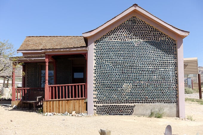
Our next stop is just outside of Beatty: The ghost town of Rhyolite. Rhyolite was a late-era gold mining town from 1904 until its demise in 1916. What remains are the skeletons of several buildings: The 3-story bank, a general store and a train depot are the most well-preserved. Perhaps the most interesting of the bunch is the “bottle house.” The builder and original owner collected over 50,000 bottles in the course of 6 months from the 50(!) saloons in Rhyolite and embedded them in the exterior walls of the house. It’s quite the artistic site to see and it has an interesting history beyond its creation.
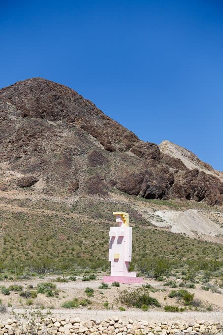
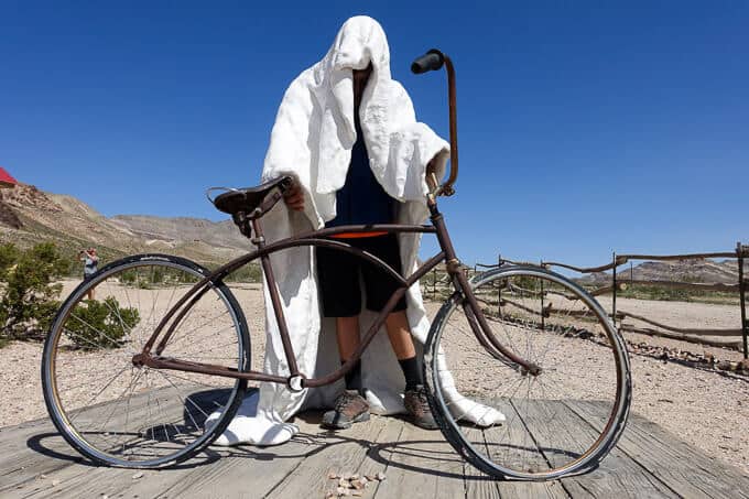
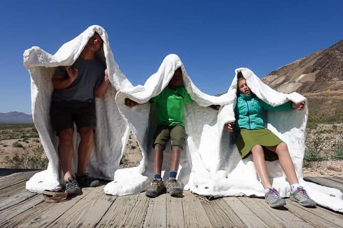
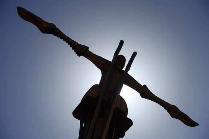
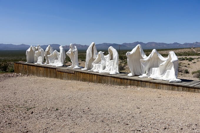
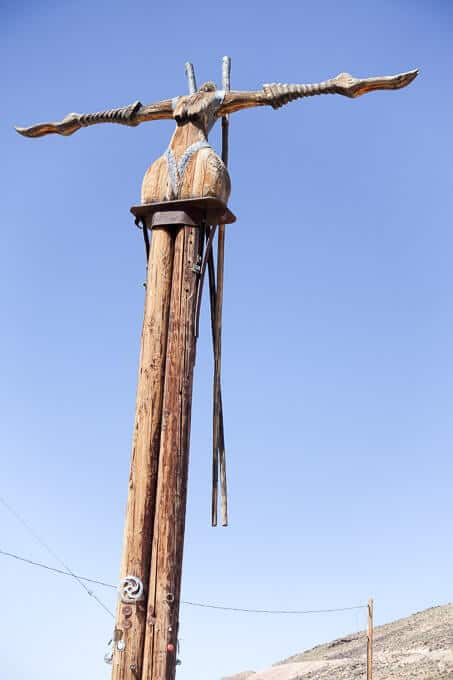
Next to the ghost town is an oddity that we also enjoy: The Goldwell Museum, an outdoor art museum. The sculptures are unique and varied, and we have a fun time interacting with the plaster “ghosts” who take on various forms, depending on the scene they’re in.
(click on any image to activate a slide show with full sizes of the images).
- Homage to Minecraft, perhaps?
- This was my favorite
- Ghosts and Ghouls
- The Lord’s Supper Sculpture
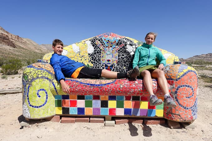
- It wasn’t the most comfy of couches
- The Glass Bottle House
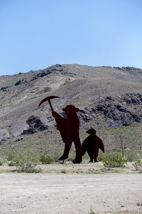
- Still trying to figure out the penguin reference
Titus Canyon Road
It’s difficult to tear ourselves away, but the road calls and we still have lots on our agenda. Next up–Titus Canyon Road. It’s is a winding 27-mile track, mostly one way, that starts just outside of Beatty, 2 miles from the east entrance to the park, and finishes up in the northern interior of Death Valley on Scotty’s Castle Road.
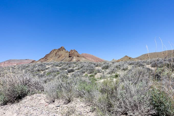
Per the Death Valley NPS website, you will be treated to features of “rugged mountains, colorful rock formations, a ghost town, petroglyphs, wildlife, rare plants and spectacular canyon narrows as a grand finale.” It does not disappoint and we are awestruck for much of the drive. It’s the most colorful scenery we have seen in the park.
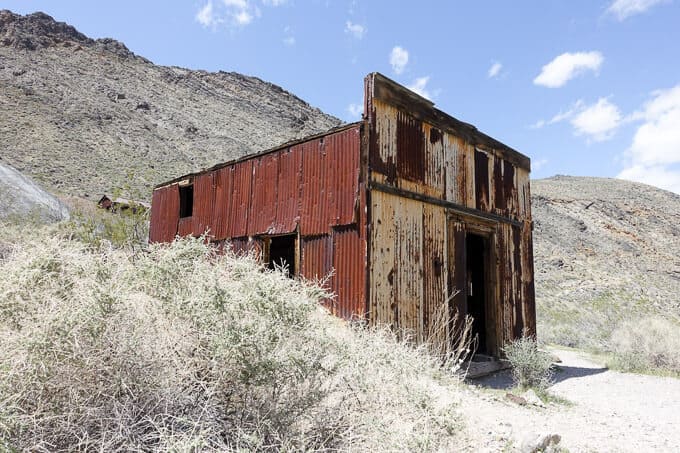
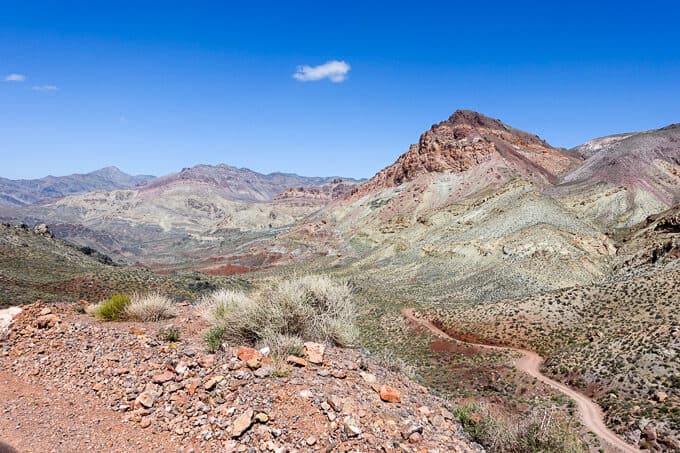
We eventually crest Red Pass at 5,250 feet and take in the expansive views from every angle. I’m amazed at the display of color and it puts Artist’s Drive and Palette to shame! We start our winding descent down on the narrow one-way road, slow and steady. We soon approach the ghost town of Leadville and take a quick break to stretch our legs and explore its remains.
After Leadville, the road weaves through Titus Canyon with high walls on either side of us, and we encounter a few hikers walking in the opposite direction who started their trek at the canyon’s western terminus. Before we know it, we’re finished with the 27-mile epic drive and are thankful we took the time to complete it. While I will always glean more from a hike versus a drive, this one was hard to beat for exposure to features that would otherwise take many hours and days to reach on foot.
(click on an image for a full screen slide show)
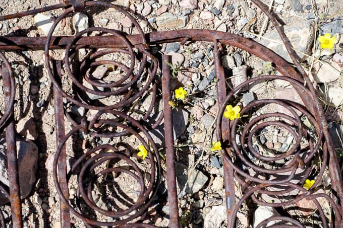
- Forgotten bed springs
- The ghost town certainly looked a bit spooky
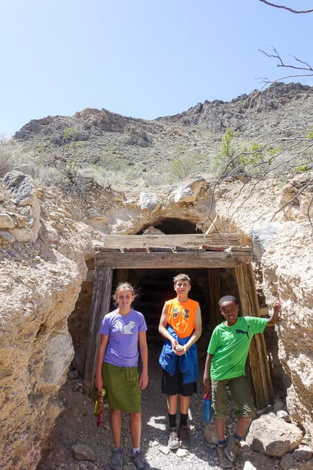
- In front of an old mining shaft
- The view from Red Pass
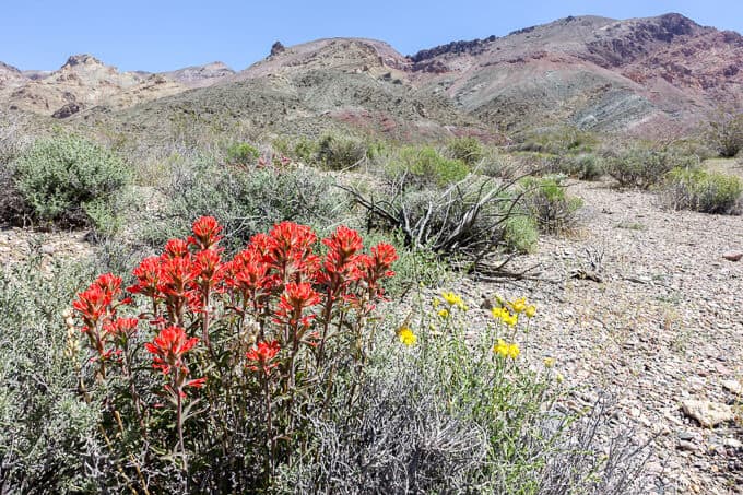
- I loved the Indian paintbrush!
Ubehebe Crater
After leaving Titus Canyon Drive, we head north towards Ubehebe Crater, a volcanic crater 600 feet deep and a half mile wide. We need to stretch our legs on a good hike after riding in the car for so long, and the kids are usually excited about hikes that involve volcanic remains.
As we approach the crater, the wind feels as if it will blow our rental car right of the road. When we park and I try to open my door, it’s nearly impossible against the force of the wind. Sand and gravel impale us as soon as we step outside and the kids are instantly disenchanted by the idea of hiking. If the truth be told, I’m quickly getting there too. Not to mention, it feels a bit unsafe with winds this strong, hiking with barely 100-pound children on a narrow rim trail into a pit 600 feet deep!
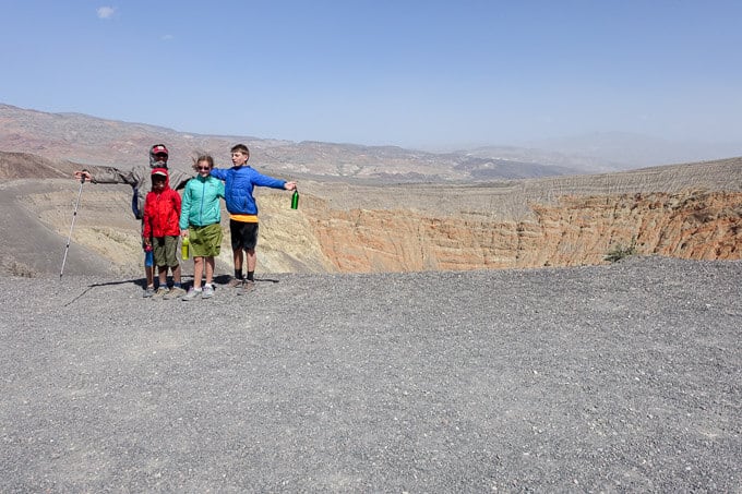
We compromise and say we’ll hike to the top of the hill beside the parking lot which leads to Little Ubehebe Crater, a smaller version of the one in front of us. If the wind is still as strong, we’ll reevaluate and decide what to do.
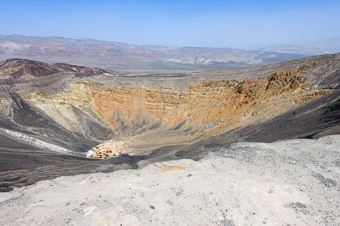
Ubehebe Crater–bummer that we couldn’t go down to the bottom.
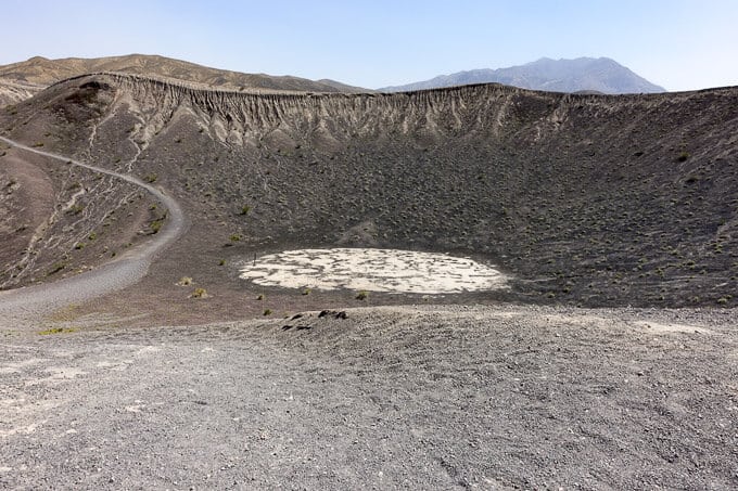
Little Ubehebe Crater
We reach the top of the hill and it’s hard to imagine anything other than backtracking straight to the car. I’m bummed because I really wanted to stand at the bottom of the crater, but it’s not worth the risk and pain (the gravel pelting us feels like being tattooed, but in multiple places at once!). We head towards the car as I constantly survey the scene, waiting for one of my kids to get swept up by gale force winds, never to be seen again (slight exaggeration, but it was the strongest wind I’ve ever been in!).
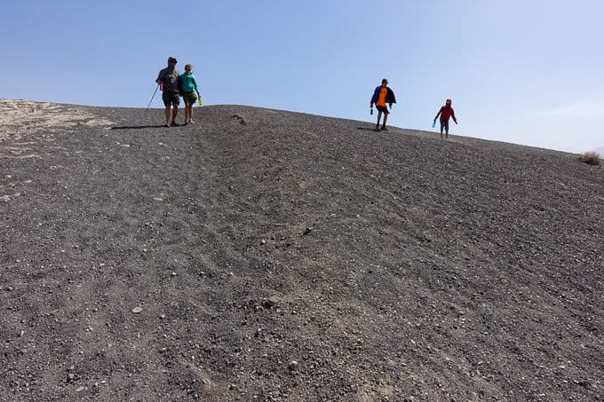
Time to head back to the car–stat!
We head back towards Stovepipe Wells, finally able to laugh and talk about the crazy experience at the crater!
Mesquite Dunes
After a quick dip in the pool and dinner at the Stovepipe Well Hotel’s restaurant (typical National Park mediocre food with inflated prices of convenience), we head to our final destination for the day: Mesquite Dunes. The Dunes are just a couple of miles from us, and we are excited to watch the full moon rise over them. As we leave the car, I take a compass bearing, knowing we’ll be heading back to this spot in the dark eventually.
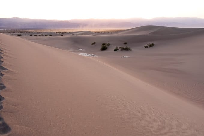
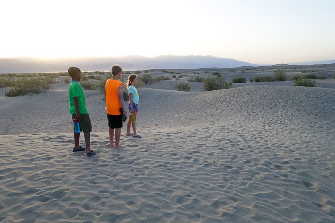
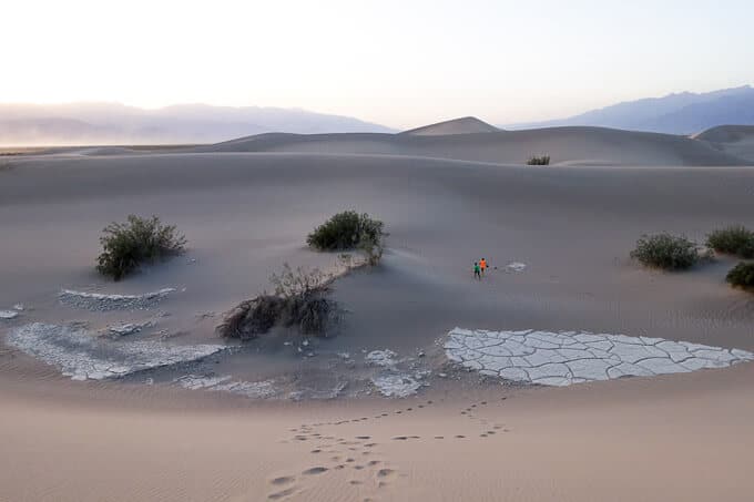
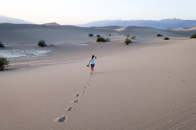
The kids, not having hiked yet today, are full of more energy than usual for this late. They bound across the dunes, running and laughing, full on kid mode. I love seeing them like this–no competition from technology, just pure, unadulterated joy from being in the natural world. Larry and I hold back to watch them, stopping to take photos as the light changes nearly every minute.
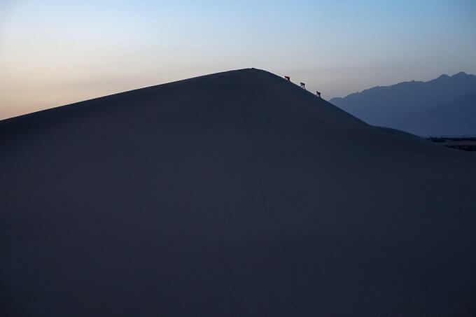
“Let’s keep going until we get to the tallest one over there!” I hear one of them yell. They continue their quest to reach what they believe the tallest dune in the land, sometimes walking, sometimes resorting to crawling, but never complaining.
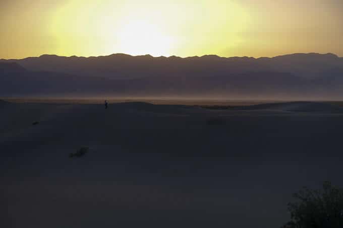
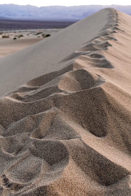
Eventually, they decide to take a break and join Larry and I on the ridge of a neighboring dune. We watch the last light of the sun fade below the horizon and the night air starts to cool off. We hear voices from others in the dunes and see the faint glow of headlamps in the distance. We still have about and hour and a half before the moon rises, so we just sit and talk, watching for the first glow of stars in the night sky.
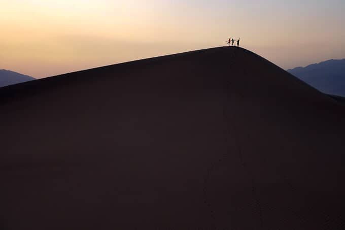
Kings and Queen of the Dunes
The kids eventually get restless and question if it’s worth watching the moon rise. Well, duh, of course it is I tell them. How many times in their life will they be sitting on a sand dune in the desert, waiting for the full moon to peek above the horizon? They don’t understand how rare and special this experience is, but Larry and I do, so we wait.
The light from the rising moon illuminates the sky for what seems like hours. Finally, ever so slowly, the first sliver comes into our view, eliciting cheers from our small tribe. A celestial miracle happening right before our eyes–the Earth continuing its predictable and constant rotation without the help of Siri or Alexa or any other form of human intelligence dictating its course and actions. It just does what its always done and I am grateful beyond words to be here to witness it.
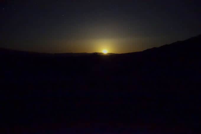
The rising moon
RESOURCES FOR HIKES
National Geographic Death Valley National Park Map: This map was crucial to all our adventure in Death Valley National Park and it’s highly recommend that you take it, along with a compass (and knowledge of how to use them) on any hike in the park.
Purchase Death Valley National Park on Amazon
Hiking Death Valley by Michael Digonnet: This book came highly recommended to me, and I’m so thankful we had it for our trip. It is both informative and educational, providing a natural and cultural history behind many areas of the park as well as detailed trail descriptions.
Purchase Hiking Death Valley: A Guide to Its Natural Wonders and Mining Past on Amazon
**Using these links to buy these items does not add any additional cost to you, but it does earn me a tiny commission to help offset the costs of running this blog, which is my way of “paying it forward” to the hiking community and a labor of love. I appreciate your support if you use them! 🙂
TRAIL REPORT CARD (COMBINING ALL THE AREAS WE VISITED THIS DAY)
Overall Grade: A+. Diversity galore which seems to be the norm for this park! Even Ubehebe Crater was worth a visit and hopefully isn’t always so windy!
Mileage: Your mileage will vary based on how far you hike in each of these locations. The only mileage we earned was hiking in the dunes, which was probably no more than 2 miles total.
Type of Hike: Ubehebe Crater has a couple of different hiking options that are outlined in the Hiking Death Valley book I mentioned above. Mesquite Dunes do not have any designated trails, so our hike was essentially an out and back.
Suitability for Kids: This is a wonderful itinerary for families to fill a day in the park with, and I highly recommend it!
How to Get Here:
- Rhyolite Ghost Town and Goldwell Museum: Located on Hwy. 374 just outside of the eastern entrance to the park and they are 2 miles west of Beatty, NV. You will see it and the museum from Hwy. 374 on the left and there is road signage indicating where to turn to visit them.
- Titus Canyon Road directions: The road starts two miles east of the park entrance off of Hwy. 374. It is probably not a wise idea to travel this road if you have a fear of driving on high passes. It is also wise to only take a vehicle with high clearance. 4WD is not a must. Check with the ranger station before heading out to make sure the road is open.
- Ubehebe Crater: From Scotty’s Castle Road (which is where Titus Canyon Rd. ends), head north, Turn left on Racetrack Rd and follow this gravel road 5.5 miles to the crater.
- Mesquite Dunes: From Stovepipe Wells, take Hwy. 190 heading towards Furnace Creek to the large parking area on the left.
Water Sources: As with most hikes in Death Valley, there are no water sources to speak of, and it’s imperative you bring enough (the NPS recommends at least 2 liters per person for a short day hike in the “cooler” season and at least a gallon per person for longer hikes) You must drink more water here than in other places. When traveling on Titus Canyon Road, it is imperative to take an ample supply of water.
Hiking seasons: From the NPS Death Valley website: “The best time to hike in Death Valley is from November through March. Summer temperatures can be dangerous in the park’s lower elevations. Even during spring and autumn the heat can be unbearable for most people. Save the low elevation hikes for the cooler winter days. The high peaks are a pleasant escape from the heat in summer, but are usually covered with snow in the winter and spring. If you must climb them during winter season, be sure to be properly equipped with adequate winter clothing, an ice axe and crampons.”
Special Considerations: It’s best to hike these areas in the early morning or the later afternoon. Avoid the heat of the day between 10 p.m. and 3 p.m. The dunes in particular are very exposed to sun and heat. They make for a much more pleasant experience when hiked early or late in the day.
[content-upgrade id=”3141″]


Another great post, Nancy! I especially love the Kings and Queens of the Dunes and the Rising Moon. What great adventures you are giving your kids!!
They were pretty smitten with themselves, getting to that dune. 🙂