Trail Journal
As strange as it may sound, Chris and I have become too comfortable with 25-mile hikes. It’s an easy place to land—starting after the sun rises, leaving the woods before it sets, and coming home in time to hang out with our spouses before climbing into bed. Our FKT (fastest known time) goal demands more from us though, and it’s time to take our mileage up a click.
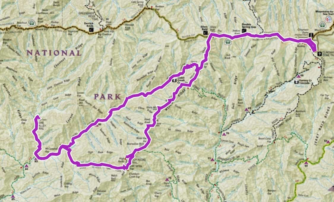
Looking at our respective Smokies maps, the ones where we color in the lines of the trails we’ve both hiked, it’s challenging to come up with an available route that suits both our needs to finish another lap of all the trails, unless we choose something in the 35+-mile range.
Never ones to shy away from a challenge, and both in agreement that we’re half crazy (which our spouses both concur with after we share our itinerary with them for safety purposes), we agree to take on an ambitious route from the highest point in the park, Clingman’s Dome, to some of its lowest stretches along the banks of Hazel Creek and Bone Valley…..and back up again.
After a horrible night’s sleep, fretting over appropriate calls to action during a tumultuous period in our nation’s history, my alarm goes off at 3:50 a.m. I cuss under my breath as I stumble into the bathroom to get dressed, “Who’s stupid idea was this long ass hike?” Oh yeah, mine.
We meet at Clingman’s Dome parking lot at 6:00 a.m. and it’s incredibly windy. It’s strange because the wind isn’t blowing anywhere else but here, it seems. We don our rain jackets to protect us from the cold bite of the wind and head up the paved path to the Appalachian Trail turnoff. The smooth asphalt practically demands an all-out effort from our pace, but our heart and lungs are screaming, “Whoa, we’re still waking up! Why are you trying to kill us already?!”
We reach the turnoff, and I’m already sweating and ready to shed layers. As we start our long descent on the Appalachian Trail, we decide it’s easier to traverse Welch Ridge and Cold Springs Gap first, and we’ll make the return trip ascending Hazel Creek with its more gentle ascent.
Within our first few minutes on Welch Ridge, we encounter a solitary bear a short distance off the trail who doesn’t seem fazed by us. He finally moves further down the hillside, but we know he’s not very far from the sounds. We feel comfortable hiking by, but I look over my shoulder a few times afterward. I want to make sure he isn’t exhibiting any type of predatory, offensive behavior that bears will rarely exhibit in late spring when they’re still hungry and without a buffet of natural food sources ready and waiting for them.
Safety Snippet: Take the time to read these important guidelines from the NPS about bear encounters.
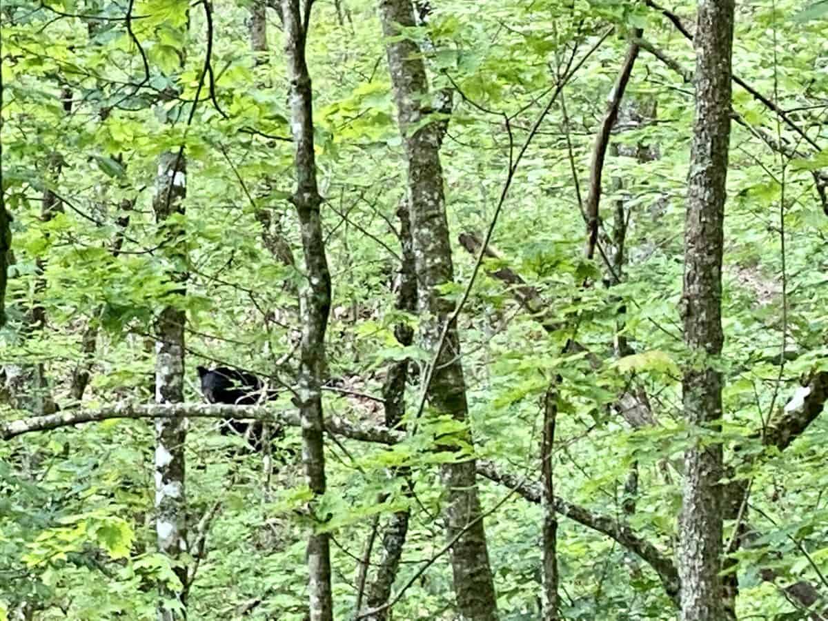
Our bear friend
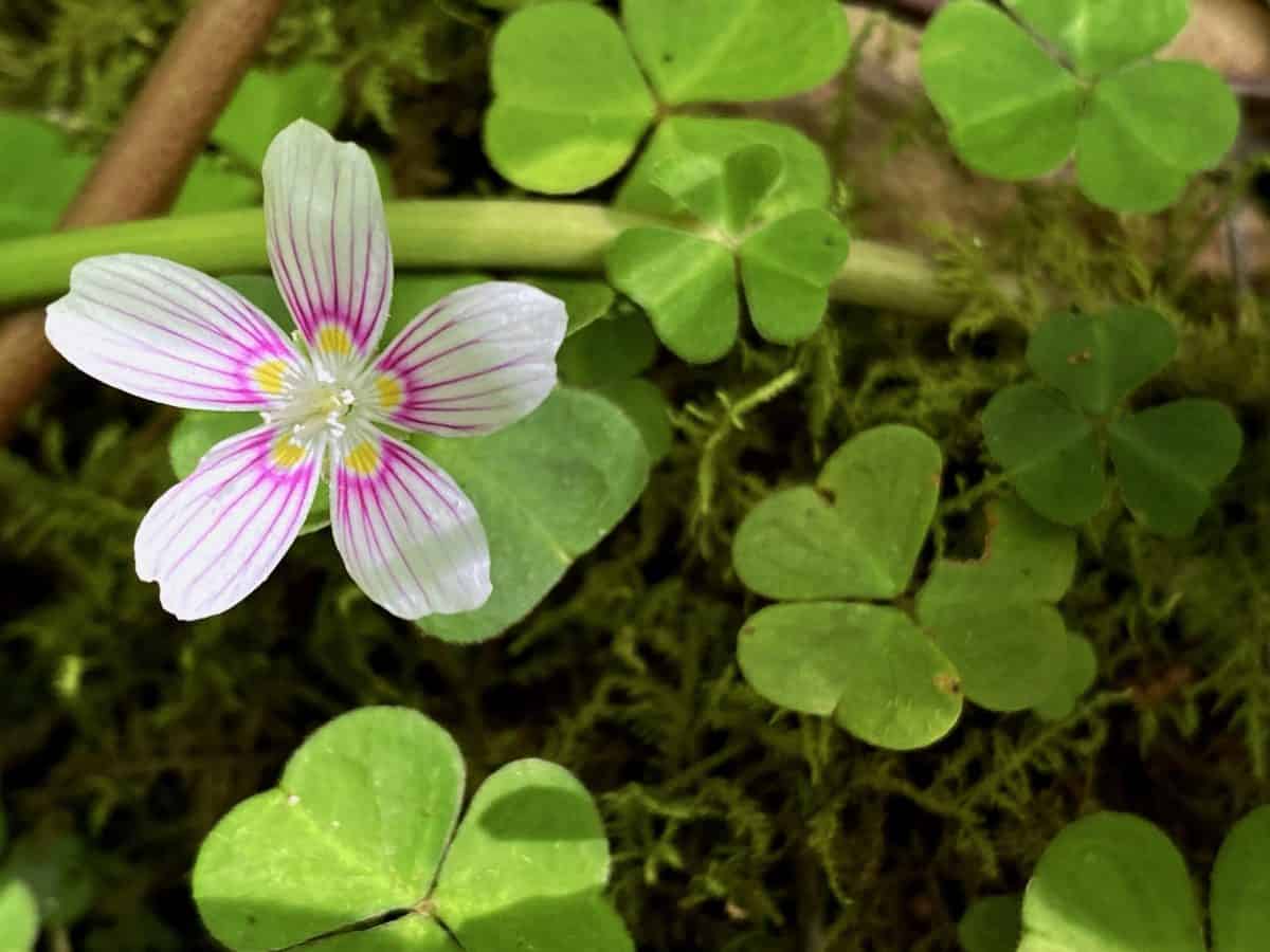
Lovely wood sorrel
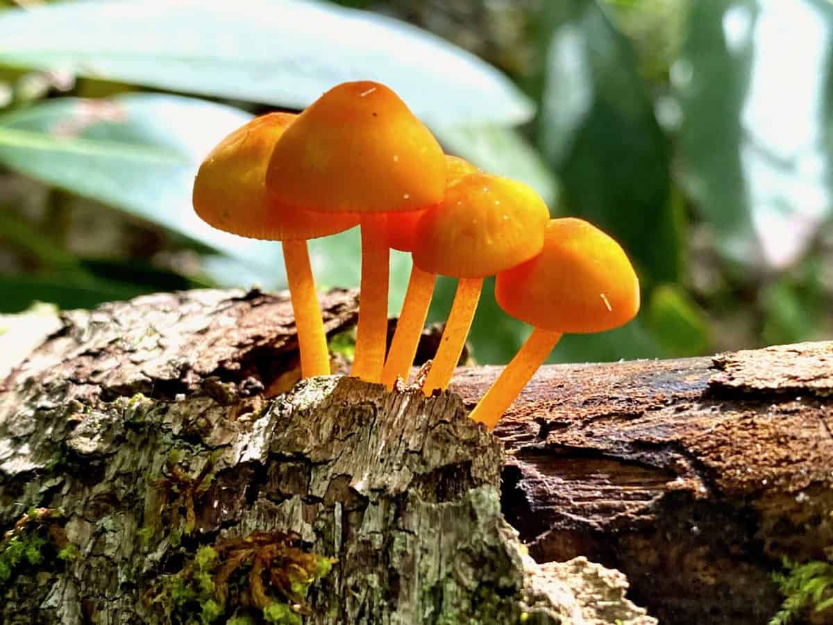
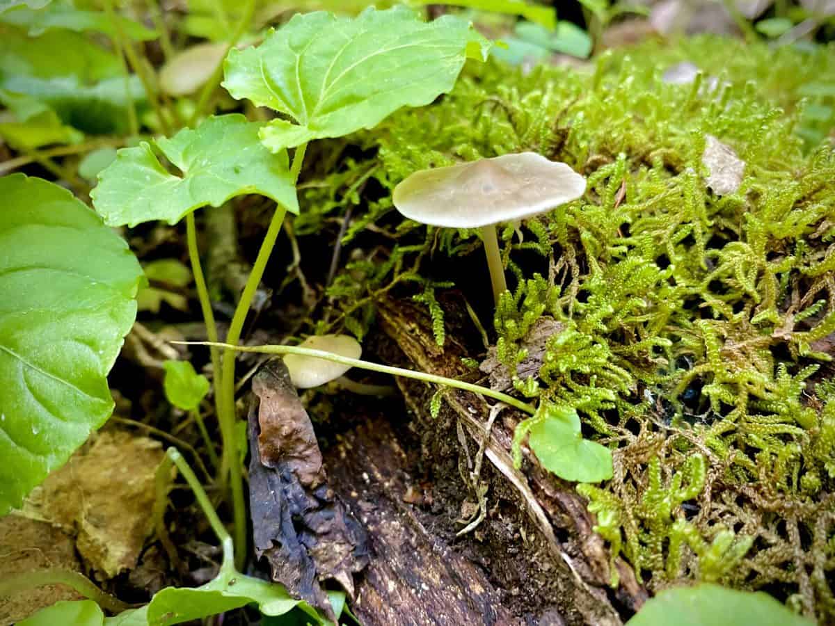
I’ve never seen a mushroom I didn’t want to take a picture of, especially the tiny ones.
We make the side trip to High Rocks off of Welch Ridge Trail. On my third trip to this unique spot, it still enchants me with its lonesome chair, leftover from the fire tower that once stood here. The cabin behind the rocks is in increasingly bad shape as the years pass, but it’s still intact-ish, and we peek inside its window for a few moments before carrying on.
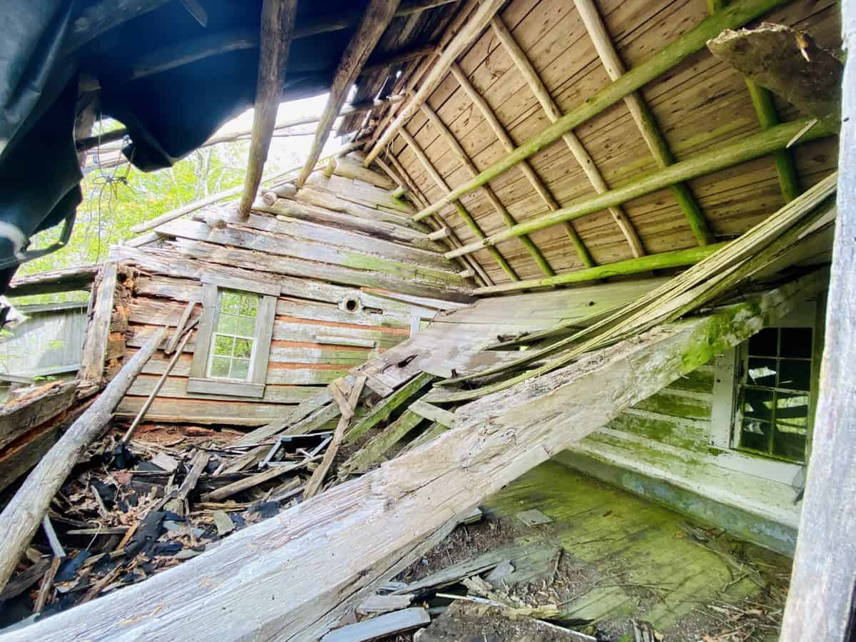
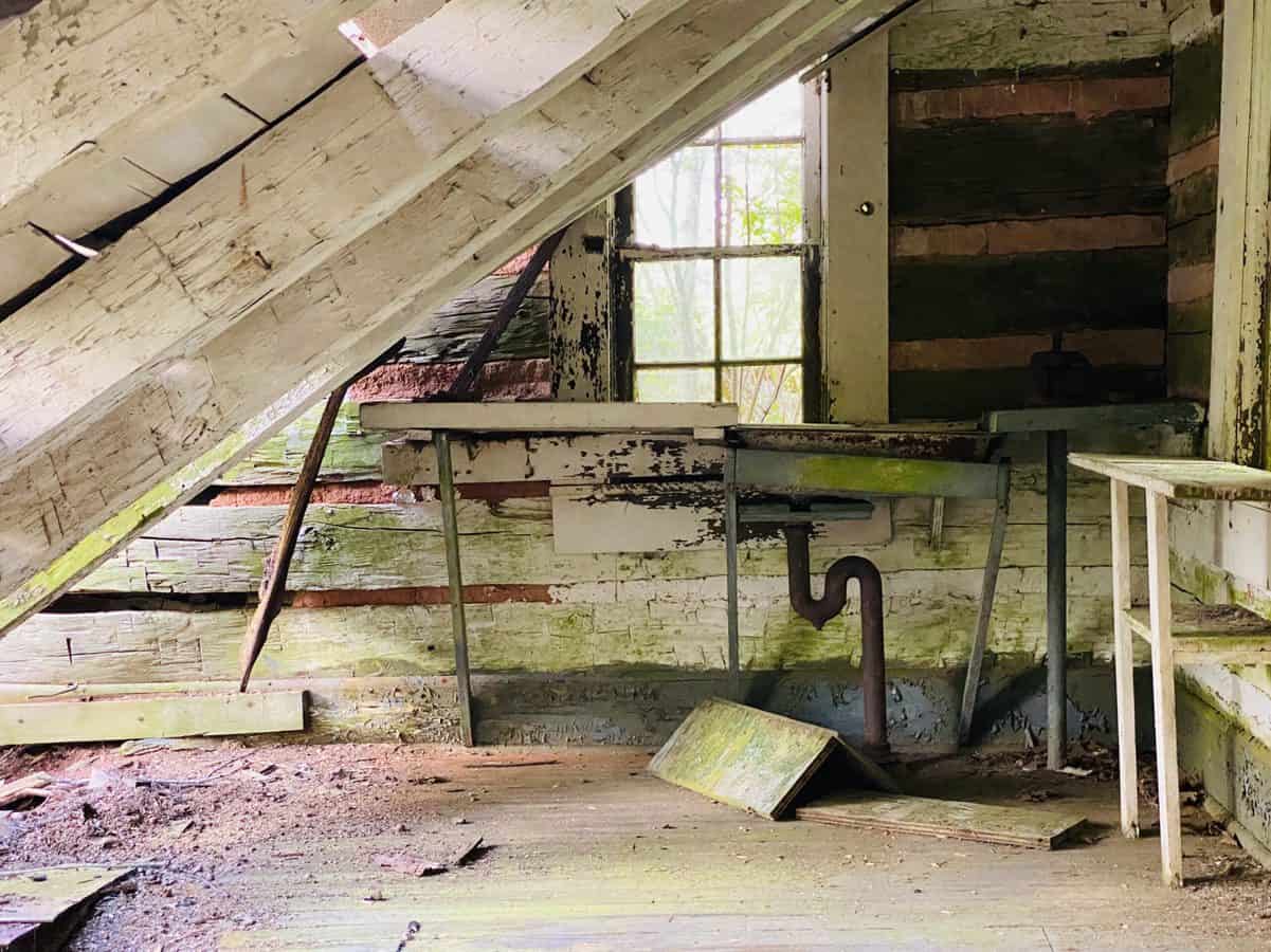
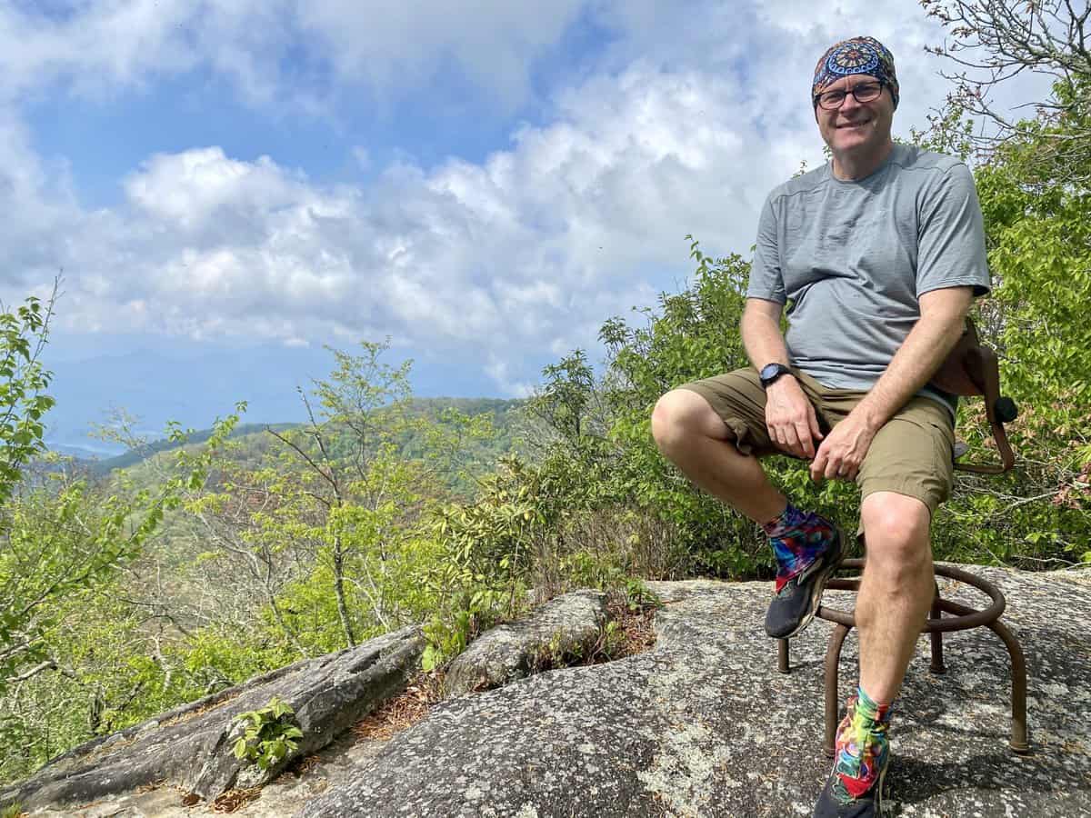
The chair at High Rocks–perfect photo op!
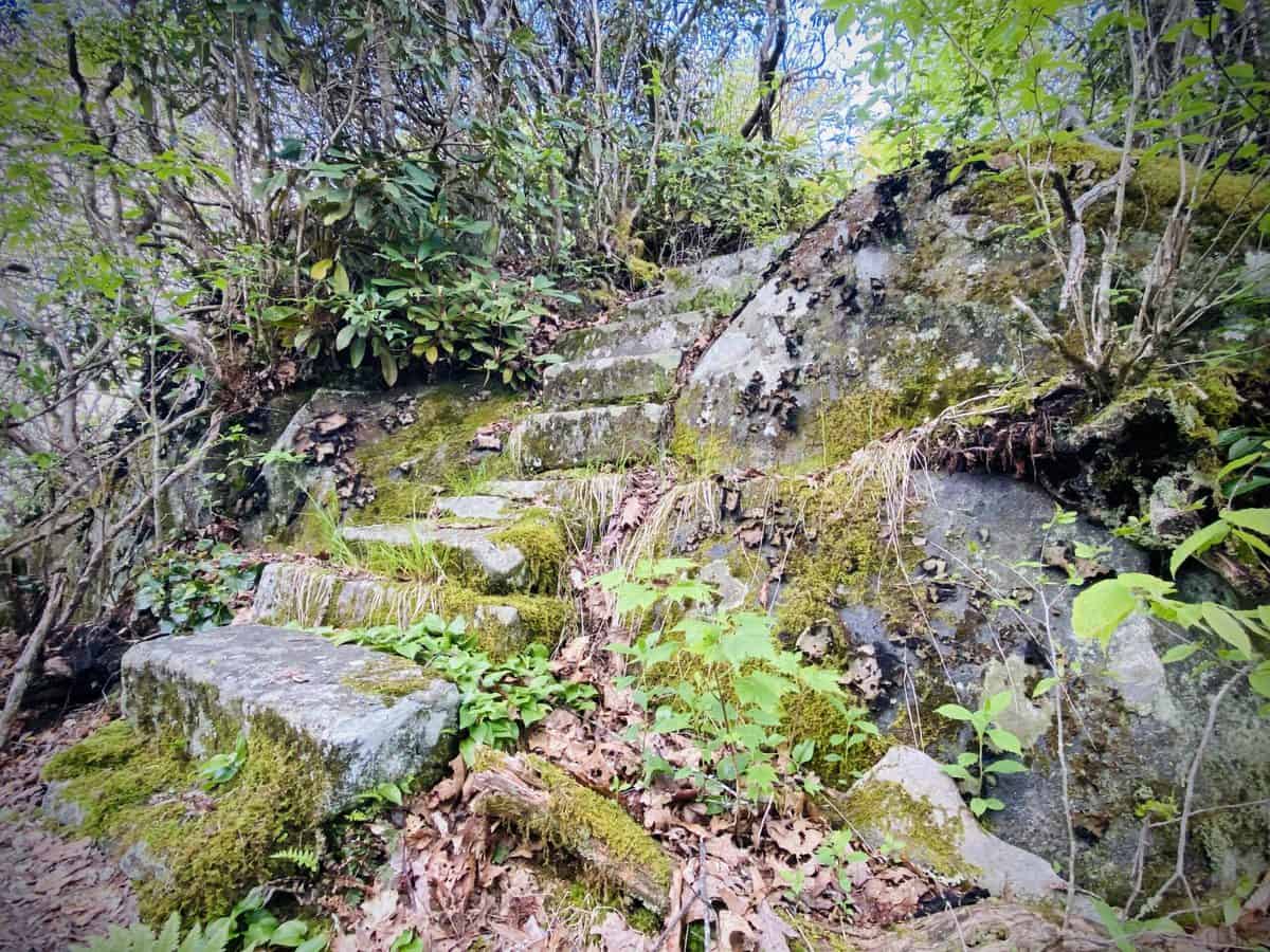
I’ve always loved the steps leading to High Rocks
Cold Springs Gap is one of my least favorite trails in the park, and I’m not convinced that descending it is any easier than ascending it. Tricky footing on slippery, wet rocks slows down our pace, and the nettles brushing against my exposed ankles stinging them adds to my annoyance.
An abandoned sleeping bag I encountered nearly a year ago on this trail is now gone, with only a few remnants of its stuffing left on the ground. I jokingly laugh and predict that a bear ran off with it, wondering why on Earth a human would leave a perfectly good sleeping bag behind!
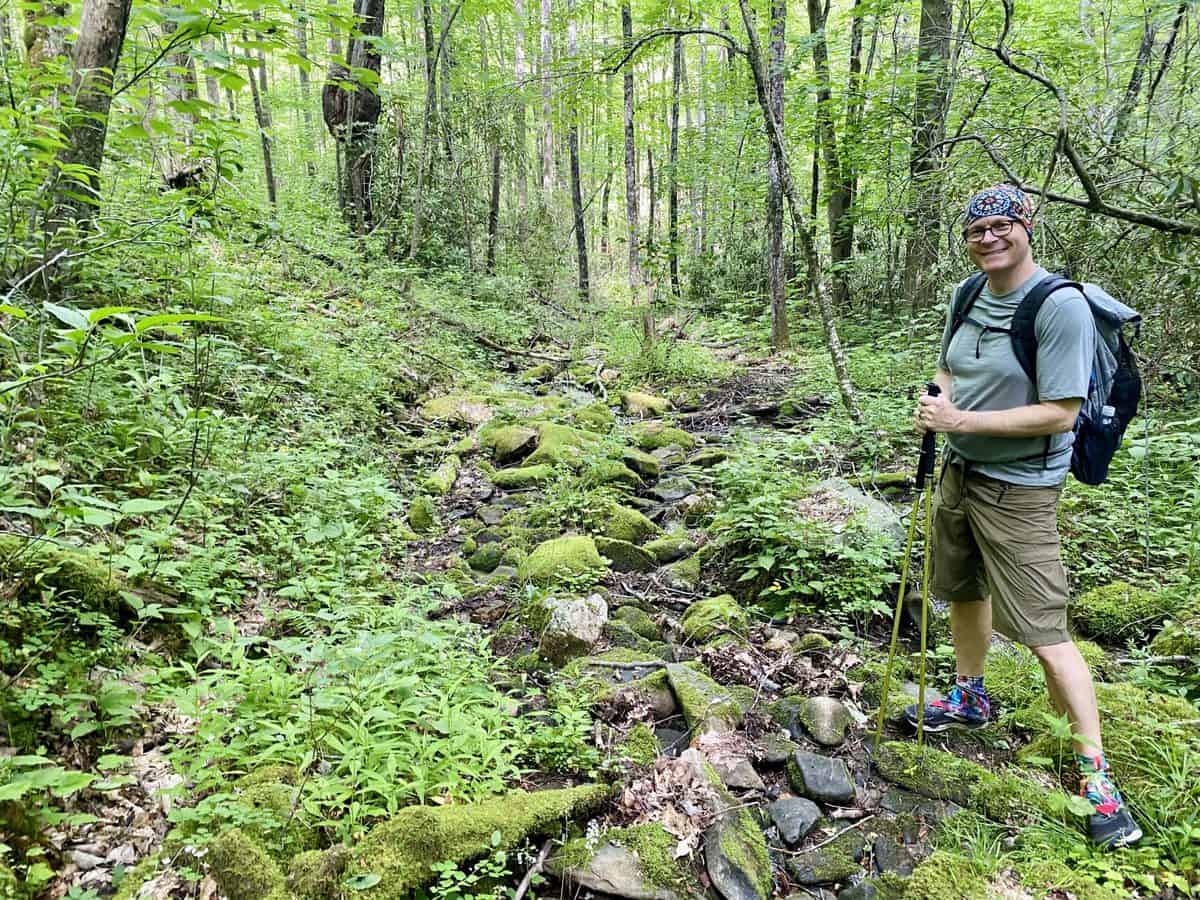
Don’t let his smile fool you–we’re not enjoying this stretch of Cold Springs Gap!
We meet the junction with Hazel Creek Trail, follow it to Bone Valley, and 1.8 miles and four creek crossings later, we reach the Hall Cabin at the end of Bone Valley Trail. We decide its a great spot for our first break and to enjoy our lunch. We’re over half way finished and feeling strong; however, I can’t seem to stay hydrated on this warm, increasingly muggy day, so I add an electrolyte tablet to my liter bottle and “camel up” with the entire liter before we leave.
Safety Snippet: It’s important to drink enough water to stay hydrated while hiking, but it’s equally important to balance your intake with salty snacks (or electrolyte replacement products—my favorite are made by Skratch Labs) to replace what you lose through sweat.
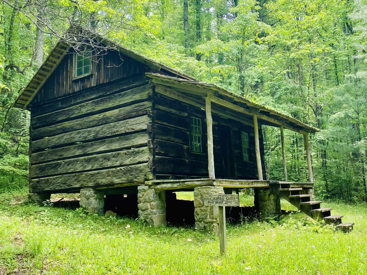
The Hall Cabin
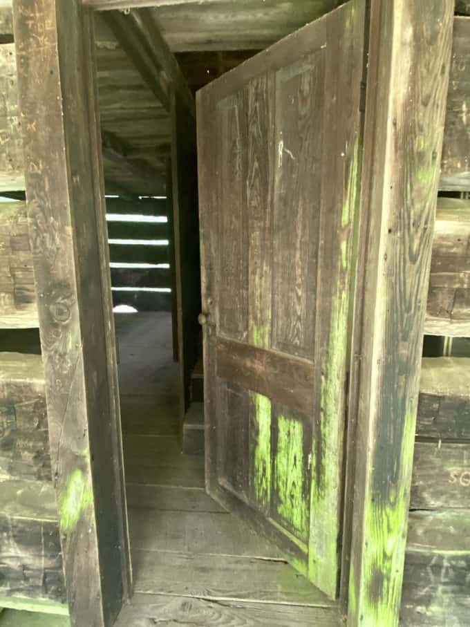
Looks like the door at an amusement park haunted house.
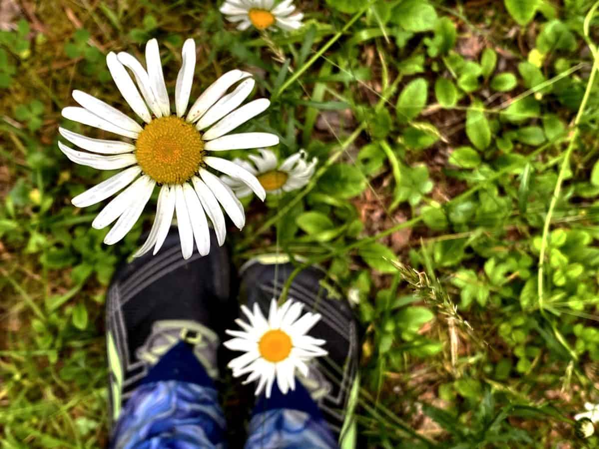
Lots of flowers growing around the Hall Cabin right now.
On the way out of Bone Valley, we stuff a jacket we found on the trail in my backpack. I intend to try and find its owner on social media, since I’ve had good luck with this tactic in the past (so if you’re reading this and lost one on the trail, message me and let me know the color and brand and I’ll send it to you, if it’s yours).
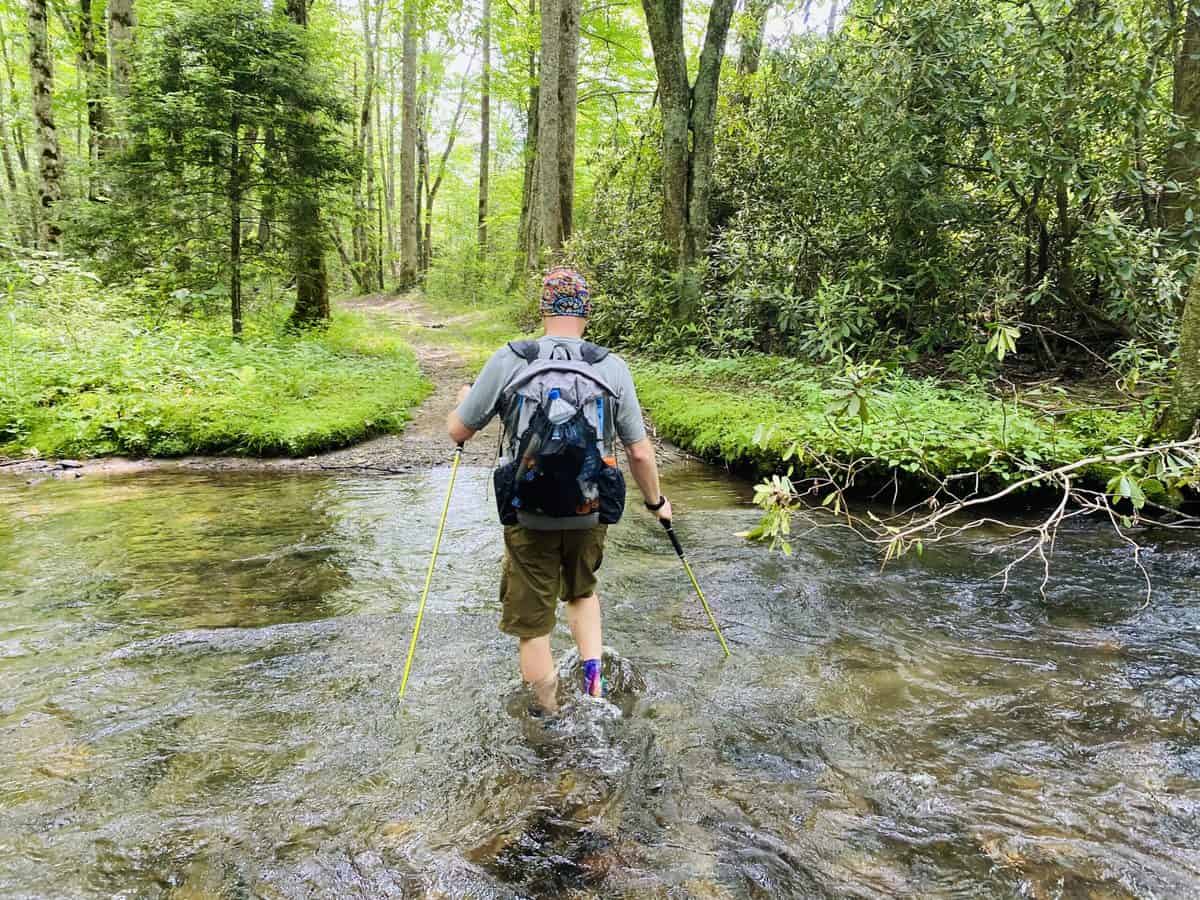
Hazel Creek Trail starts on an old road bed and its easy walking for the first half of its 8.1 miles to Welch Ridge. As soon as we cross the bridge to the single track portion of trail, everything changes abruptly and we encounter a variety of obstacles: downed trees, overgrown trail, muddy, shoe-sucking spots, and lots of water crossings (which are all easy, thanks to lack of significant rain in the area last week).
Safety Snippet: The “$1 map” of the Smokies has a list of potentially dangerous stream crossings in the Smokies. Always consider this list as you plan a hike and call the backcountry ranger office in the park if there is any question in your mind about the danger they may present. Here’s a great article with tips for safely crossing creeks and streams.
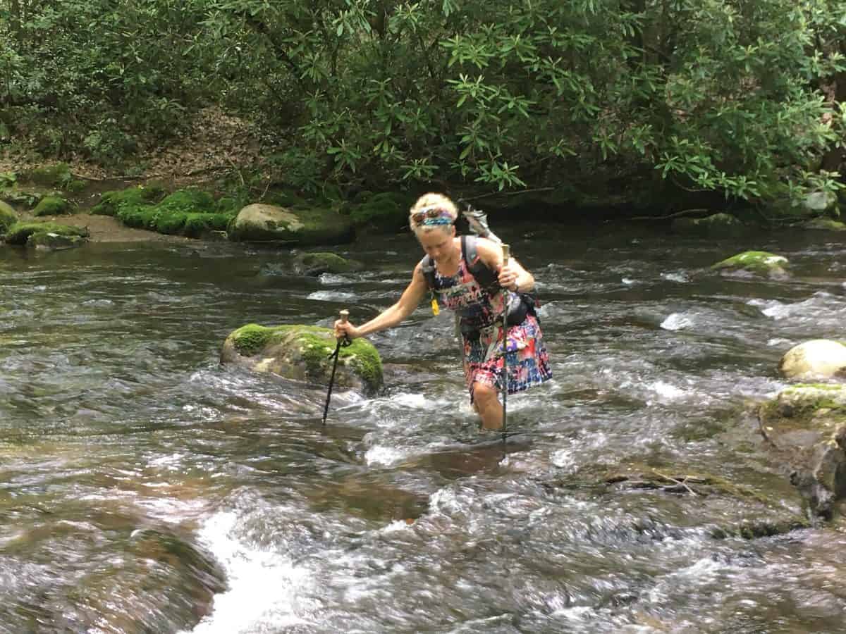
Mild stream crossings on this hike, but I’m always slow getting across them. But they were admittedly refreshing on this warm day!
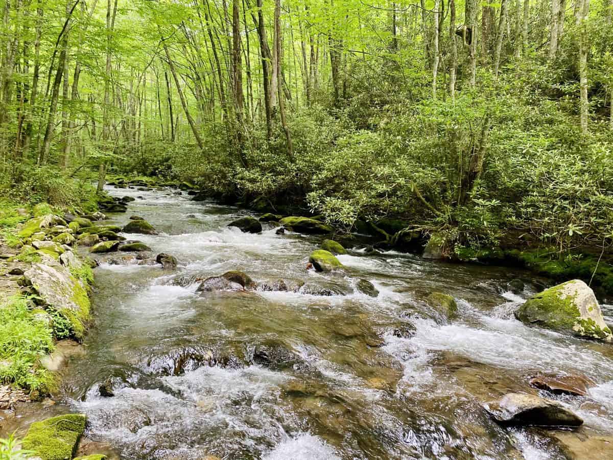
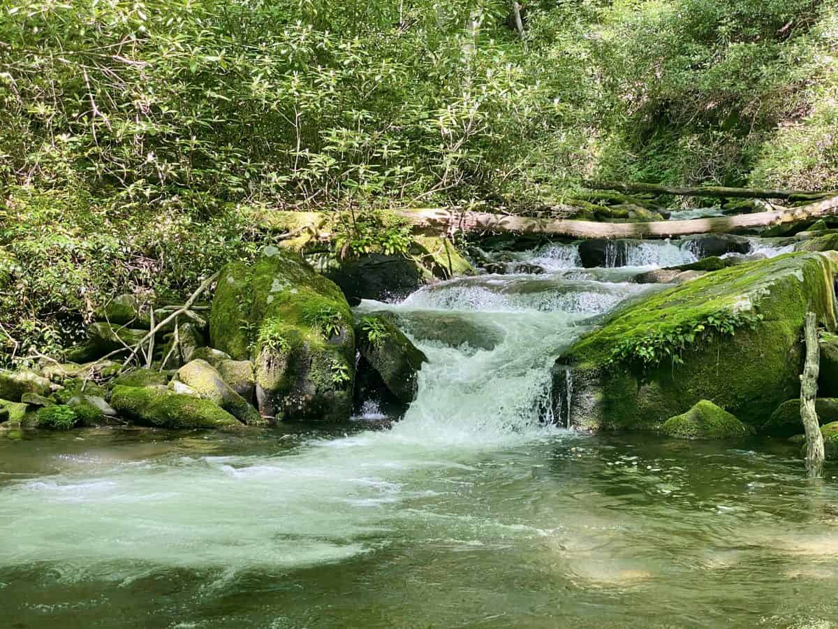
This pool was soooo tempting to go dunk myself in and cool off.
Hazel Creek pitches more steeply towards the very end in a series of switchbacks. It’s time to pull out the big guns of my food bag to ease the pain of the climb: Cheetos! I slowly work my way through them as we hike, wanting to savor every piece of artificial, orange finger-licking goodness, hopefully not driving Chris nuts with my occasional crunching as I savor them.
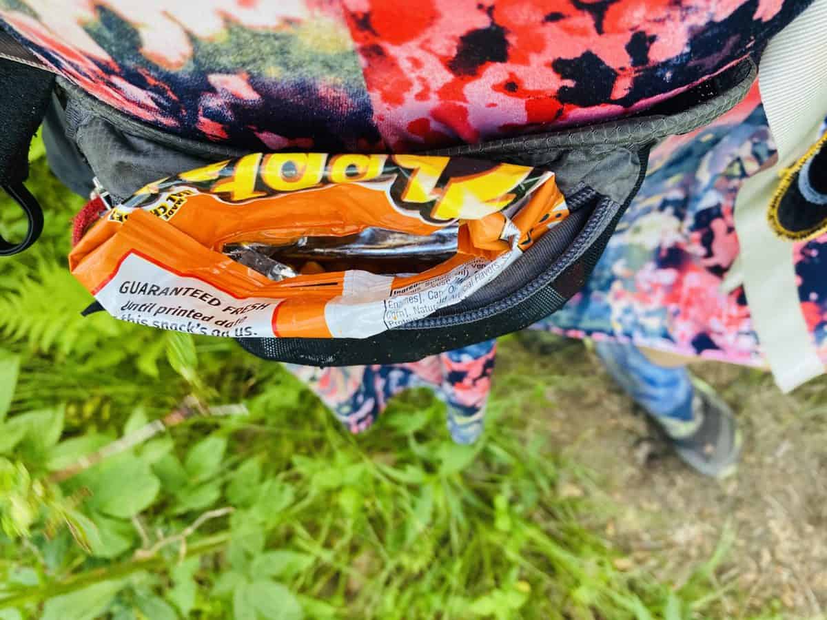
Mmmm, Cheetos are the best!
Welch Ridge makes us work as it ascends the 1.8-mile stretch we hiked in reverse 12 hours ago. In the general location we saw the bear earlier, we hear something shifting in the understory of ferns and low-lying bushes, but we never see it. We have no doubt it sees us though, so we continue to move along gently.
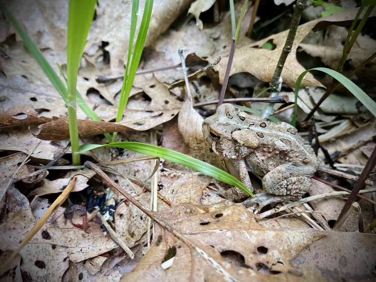
Chris has a good eye for frogs and toads–this little guy would have slipped right by if he hadn’t spotted it!
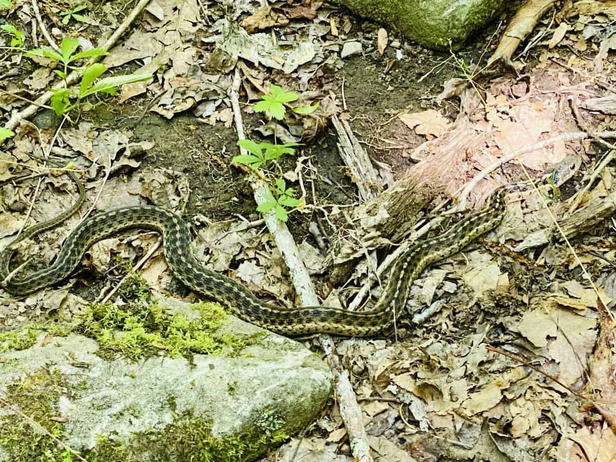
We saw 3 garter snakes throughout the day–so cute!
We hit the Appalachian Trail, continuing back to Clingman’s on the same stretch we hiked in the early morning hours. We hear yet another animal in the woods beside us. But wait a minute—this one is wearing clothes! We get closer and realize it’s my friend, Steve! I had been telling Chris about Steve earlier in the day so I was incredibly excited to run across him serendipitously like this!
Steve explains that he was returning from a plane crash site about 200 feet from where we’re standing, and asks if we’d like to see it. Of course we do, so we head down the hill a short ways to discover the wreckage from a Piper Tri-Pacer that crashed on February 12, 1979.
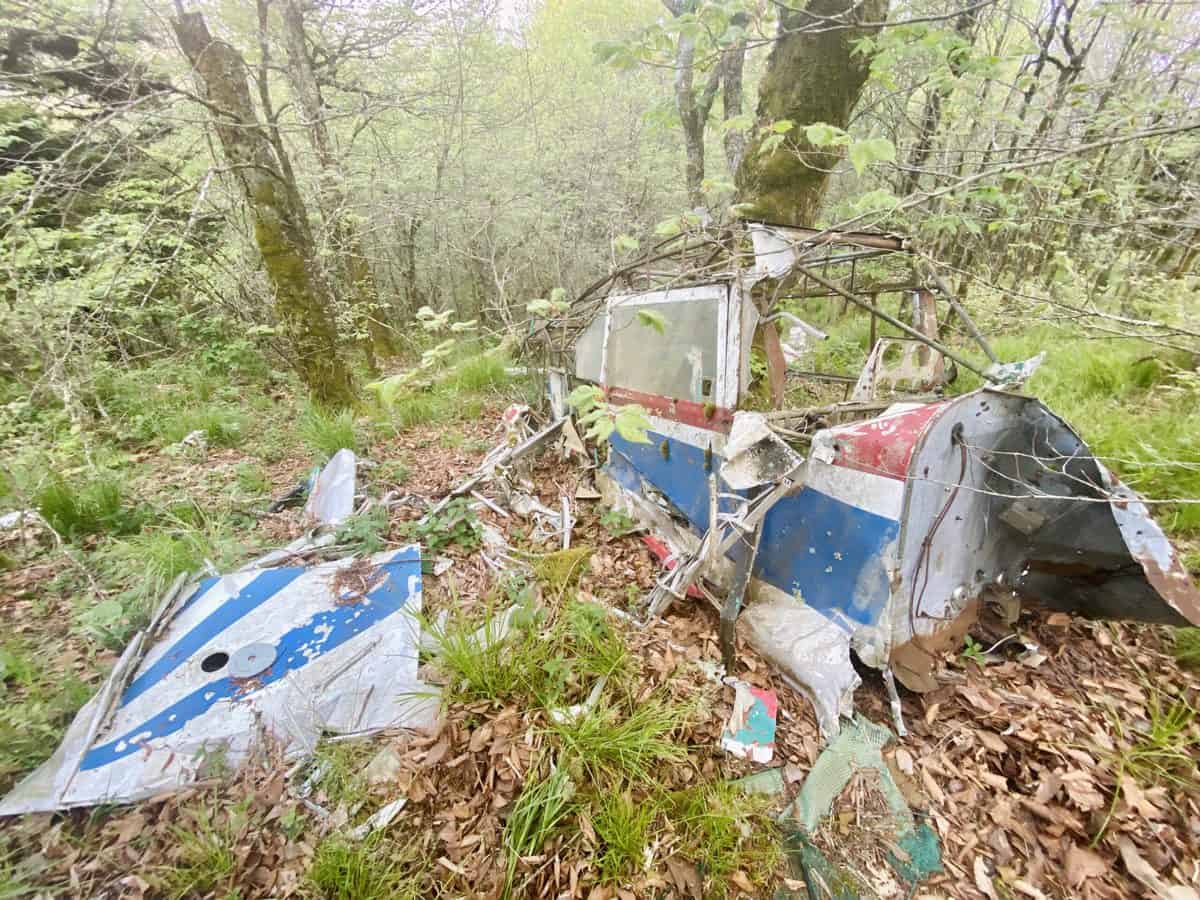
Miraculously, the pilot was relatively unscathed except for some scratches on his face. We take some photos of the wreckage, and I can’t wait to send them to my aviator-to-the-nth-degree father, knowing that he’ll probably guess what type of plane it is, even in its current state (not surprisingly, he does, and he even relays that it was one of his favorite airplanes to fly with his dad in the 50’s).
Side Note: The story of this crash site and many other plane crashes in the Smokies are recounted in detail in the excellent book, Mayday! Mayday!: Aircraft Crashes in Great Smoky Mountains National Park, 1920-2000 (Jeff Wadley). When open, visitor centers in the park carry this book, and your purchase helps support it.
Steve is on the return trip from a 20-mile out and back hike that started from Clingman’s Dome, so we walk the rest of our miles together. Steve and Chris are both retired from careers in the Air Force, and I love hearing them share their stories and mutual interests. I knew these two would hit it off, and I tell Steve he should join us on one of our future training hikes and that we don’t always hike the sadistic mileage we’re covering today.

Thyme-leaved bluets are my favorite wildflower (and they were my mom’s too, which is why I have a tattoo of them on my calf).
On our final half mile of the day, we’re fortunate enough to come across yet another connection: Greg Grieco, a wildlife ranger/technician for the park, who is with another ranger. They have just started their shift for a night of hunting wild (and invasive) boar.
Greg and I have been on SAR operations together in the park, but we’ve never formally met. Chris, however, came across him on a recent hike and immediately recognized him. We chat it up for a few minutes, tell them about our bear encounter earlier in the day, which they agree was unusual behavior, and then let them get back to work. I’m always a bit star struck when I come across park rangers since I hold them in such high regard.
Safety Snippet: I’ve come across lots of wild boar in the park on my hikes, and clacking my hiking poles above my head always does the trick of sending them scurrying away (although they typically run away as soon as they see me). If you’d like to learn more about boar in the park and why they are hunted, here’s a great interview on NPR with Andrew Herrington, another park ranger and the founder/team leader of BUSAR (an all-hazards SAR team that does outstanding work in the park).
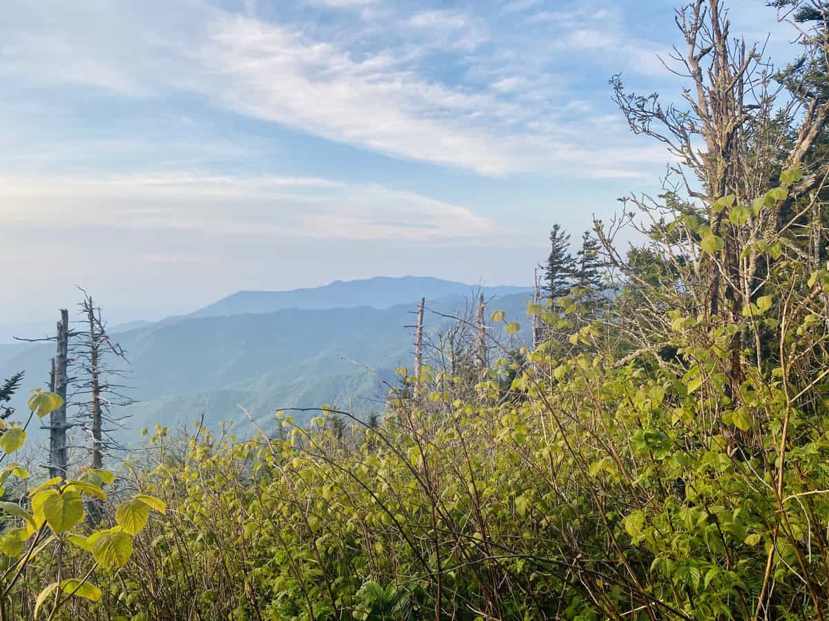
The peaks of Mt. LeConte in the far distance.
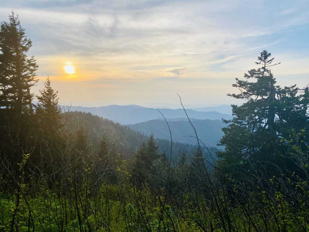
The setting sun was a nice distraction as we climbed to Mt. Buckley’s summit on the A.T.–it’s always a challenge, but especially after big miles.
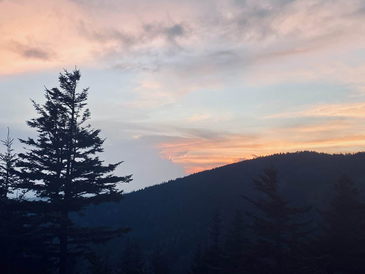
As we’re climbing the final steps to Clingman’s Dome parking lot, we encounter and exchange pleasantries with a trio of African American young adults. They joke while telling us they’ve only hiked down the hill a few steps, but they’re impressed that we went on a “real hike.” As we walk away, I hear one of them say she wants to go on an actual hike one day and it makes me smile.
Normally, I wouldn’t mention the race of someone I’m writing about, but in the current times it feels relevant. I’m tempted to stop and chat more with these strangers, to tell them I stand in solidarity with them and their struggles; to relay that I want them to feel safe and welcome in the backcountry; to convey to them that I have witnessed racial hatred by proxy of my Ethiopian-born son, that it shook me to my core and fuels my own fire of advocacy.
Most of all though, I want to tell them that I care for them in the same way that I care for any human being. If they were to descend these stairs and become lost like Susan Clements did nearly 3 years ago, I would search like hell to bring them back safely, just like every other SAR team member I know would.
I have an epiphany that I shouldn’t harbor guilt and lose another wink of sleep for continuing to bust my tail in an FKT attempt to bring awareness and raise $60,000 for preventative search and rescue efforts in the park. Some day these three people may benefit from this effort, and it might empower them to enter the backcountry without fear or lack of knowledge to bring them out safely.
There are plenty of other ways I can help promote inclusion in the outdoor world once I’ve achieved this goal. But for now, this is what it looks like for me and it will continue to require most of my energy (and then some). I instantly feel lighter after letting go of the guilt I’ve been carrying with me throughout this hike.
We reach our cars in the parking lot and say goodbye to Steve. I am giddy with excitement because I’ve been keeping a secret from Chris all day long: An ice cold lemonade for both of us, waiting in a cooler in my car.
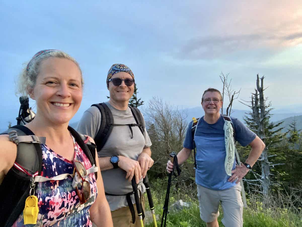
Love that we came across Steve and hope he’ll hike with us again!
One of the consistent topics of conversation on our long hikes is food and what we’re craving for our post-hike meal. On our last hike, Chris mentioned how good lemonade would be since the weather has been so warm. It sounded incredible to me, too. But what sounded even better was sharing one with my friend, so that’s exactly what I do.
I also hand off an umbrella clamp from Gossamer Gear for his wife, Jamie. She recently mentioned that she wanted one, but they’ve been out of stock. I bought a spare awhile ago in case I lost mine, and I am just as giddy thinking about Chris handing it off to her when he arrives home. Our spouses have been our rock solid support system throughout this training journey. I hope she realizes that this very small token is symbolic of a much larger place of gratitude in my heart.
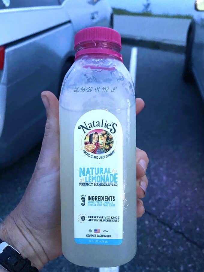
If you come across this brand, it’s really good!
I drive down the mountain towards home and my family, sipping my lemonade, feeling simultaneously depleted and completely full. And it is a perfect moment in an imperfect world.
Happy trails,
Nancy
P.S. My passion for the natural world and keeping people safe in it will always serve as a springboard for my strongest and most sustainable commitments to a cause. If you’d like to learn more about our FKT journey and why we’re raising money for PSAR efforts in the park, here’s the backstory.
And this excellent article, published by The Atlantic in conjunction with REI, outlines ways to make the outdoor world more inclusive to all. I encourage you to give it a read.
TRAIL REPORT CARD
Mileage: 36.5 miles (5,719 ft. elevation gain/5,793 ft. elevation loss)
Potential Hazards: Beyond the inherent hazards of any backcountry hike, stream crossings could be a very formidable hazard on this route, as mentioned above.
Overnight Option: There are plenty of choices along this route that make it a backpacking trip. Double Spring Gap Shelter, backcountry campsites 82 and 83 are all nice spots to rest your weary bones on this rugged route.
Dog Friendly: No. Dogs aren’t allowed on trails in Great Smoky Mountains National Park with the exception of the Gatlinburg Trail and the Oconaluftee Visitor Trail.
Permits: No permits are needed to hike the trails in Great Smoky Mountains National Park, but they are required for camping in the backcountry. Reservation information for backcountry website the park’s website.
Navigation Resources
National Geographic Trails Illustrated Map of Great Smoky Mountains National Park
I use the GAIA app for all my hikes. If you are interested in using GAIA, you can get a 20-50% discount off a subscription (and I highly recommend it). I use it for both SAR and personal use exclusively.
You can find my trail journals for other hikes in the Smokies right here.
RECOMMENDED GEAR
I carry the 10 essentials in my pack at all times and you should too! If you’d like to know what gear I use and recommend, here’s my gear list.
P.S. If you’re interested, and especially if you’re new to hiking or backpacking, I invite you to join my Facebook Group, where I post the best deals on quality hiking/backpacking/camping gear that I can find. But more importantly, I provide education on outdoor safety topics, based on my SAR operations. It’s a fabulous group of people and I like to think of it as one of the nicest Facebook groups out there. 🙂
[content-upgrade id=”3163″]
