I’ve finally reached the point in my new career where I can justify hiking as work (beyond just the physical work). Otherwise, this hike probably wouldn’t have happened. Our beloved family dog, Josie, is battling an aggressive form of leukemia. Seeing as how I’m the family dog doctor, despite retiring from clinical practice in 2020, I’m homebound a lot lately. It’s an honor to care for Josie, but it’s also a stressful burden, knowing my family looks to me for answers they don’t want to hear (nor those I want to give). Cancer is a bitch.
All that to say, this hike and three other routes I chose to tack on from the 100 Favorite Trails of the Smokies and Carolina Blue Ridge Map was as much of a respite as it was work. If you’re not familiar with this map, it’s been around since 1966 and was updated in 2020 by Great Smoky Mountains Association and Carolina Mountain Club. I’ve been commissioned to hike the routes and provide updated information before the next printing. I also had another work-related task to complete, but that came later in the day when I was good and hungry.

Whiteside Mountain Trail (#12 on the map) is an incredibly popular loop trail, and I was thankful for my early arrival or else I would have struggled to find a parking spot. The trailhead parking area charges a $3 fee (which immediately justified my visit as this isn’t mentioned on the current map). You can either pay through Recreation.gov ahead of time or at the trailhead in cash (or online if you can catch a strong enough signal).
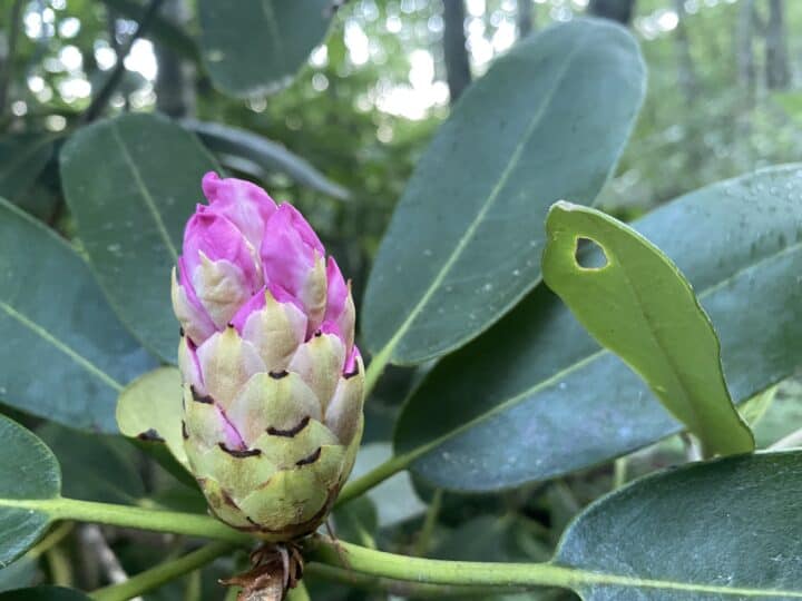
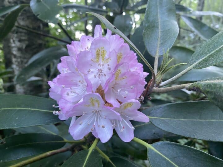
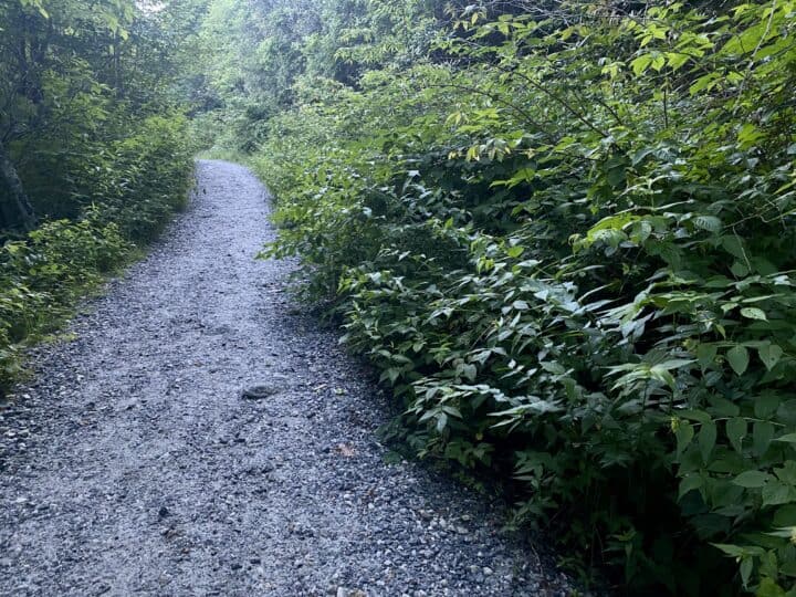
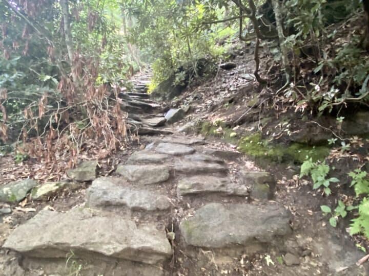
This is a lollipop-style, 2-mile loop, and I chose to save the big views for the second half, heading left where the trail splits. This is also a more gentle ascent, but your knees will pay the price on the steeper descent. Save for a few local runners and one other couple in the parking lot, I had the trail to myself initially.
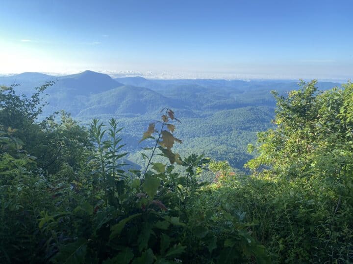
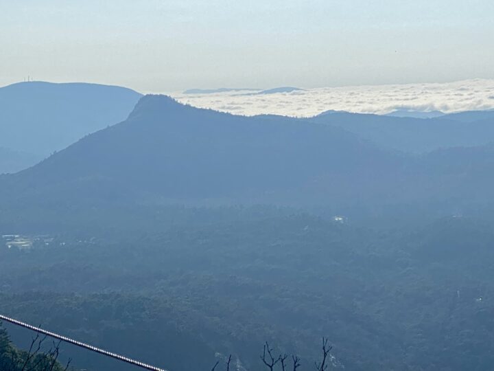
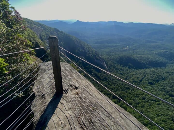
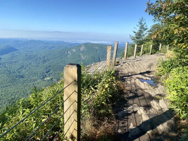
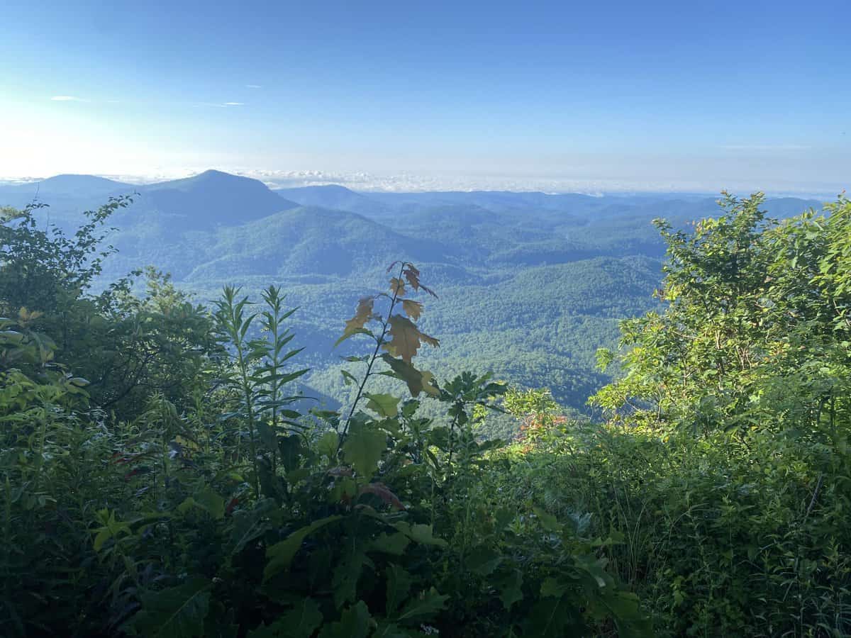
A little over half way (which only amounts to about a mile–it’s such a short hike!), the views start and don’t stop as you traverse the pluton’s long southern summit ridge. There are multiple viewing points with epic vistas, all with safeguards in place to prevent a fatal fall off the steep edge. Geologists believe that this is one of the oldest mountains in the world at 360 to 490 million years old!
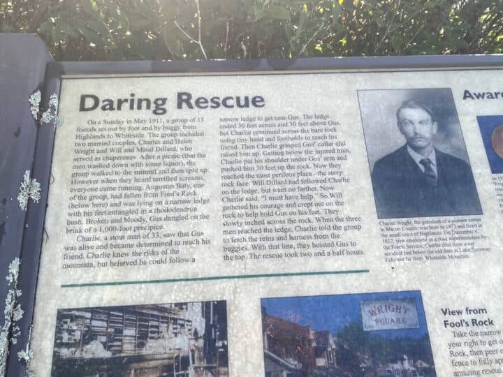
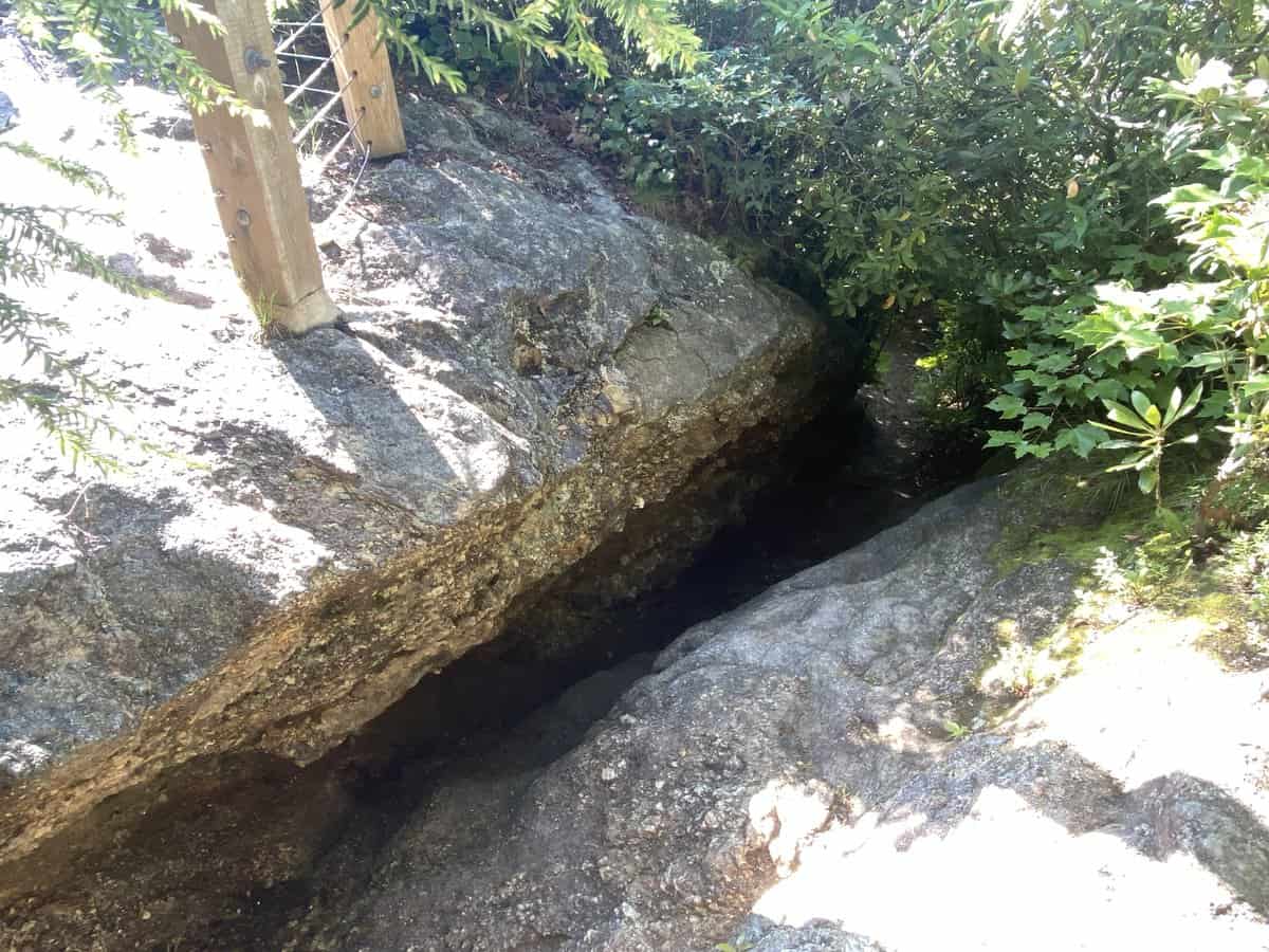
Weathered but informative signboards dot the ridge, and I learned some interesting tidbits of geology, history, and an impromptu and harrowing rescue effort that took place in 1911. Looking at where the near-tragedy occurred, I shook my head in disbelief that anyone survived the ordeal. There’s a short diversion off the main trail to visit the place where this took place, but I don’t recommend if if you’re either claustrophic (the crevice you descend through is a bit snug) or are uneasy with heights. The overlook has cables to protect you, but it’s an abrupt drop into the abyss on the other side of them.
Along the ridge, I met an adorable French Bulldog hiking with his owners. I hoped this 2-mile route was the limit of what his owners take him on, especially if they routinely use a tiny water bottle cap for his water needs. Brachycephalic breeds (dogs that look like they’ve been punched in the face) aren’t the greatest at breathing…and therefore hiking.
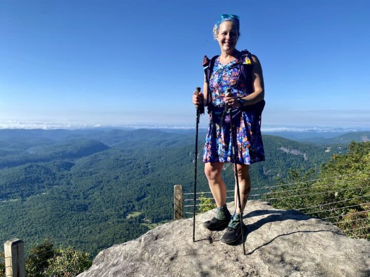
As I descended the mountain, there was a noticeable uptick in the amount of hikers. It was also noticeable that I was hiking near Highlands and Cashiers, as nearly everyone I passed was wearing perfectly matched Lululemon outfits and was well groomed. I felt comically conspicuous with my month overdue highlights and haircut, yet positively beautiful in my Lightheart Gear hiking dress that resembles a 4th of July firework (this hike took place on July 2).
By the time I returned to the parking lot, it was completely full with unlucky people idling in their cars, waiting for someone like me to leave. I made them wait a wee bit longer as I took a quick detour to the (very clean and well stocked) vault toilet before leaving. Then I headed down the mountain toward my next hike, also on the list of 100 Favorite Trails: Yellow Mountain.
One final note: You can find this map in many retail locations across Western North Carolina as well as Great Smoky Mountains National Park Visitor Centers, but I also sell it on my website with free shipping if purchased with my book: Chasing the Smokies Moon (and it’s only $1 shipping if you get the map by itself). It’s a fantastic way to hike some of the crown jewel hikes of this area. If you’re into hiking challenges, Carolina Mountain Club has one centered on this list of routes, and it will keep you busy for quite awhile!
Love your blog
You are so inspiring!
That rescue was amazing as is your dress 🥰
Neenah, you are always the sweetest and thank you for your kind words! 🙂