Mosaic Canyon is a short drive from the campground and we encounter a nearly full parking lot at the trailhead. This hike, one of the most popular in the park, is going to have a different feel from Panamint Dunes which we practically had to ourselves. No worries though, from previous experience on trails, we know the vast majority of folks taper off in the first mile and this experience would prove no exception.
We enter the canyon and almost immediately encounter the first of two “narrows,” which are places where the canyon walls become, well, very narrow! Whether you’re a child or a 40-something-year-old adult, narrows are fun to navigate the tight spots and slick chutes.
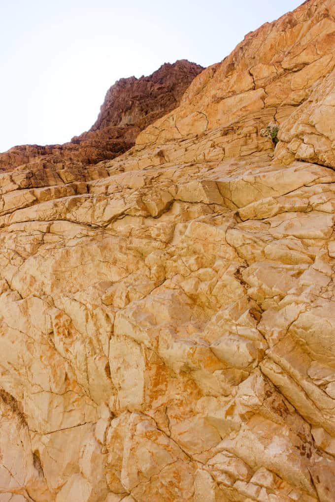
The walls of Mosaic Canyon’s entrance were beautiful
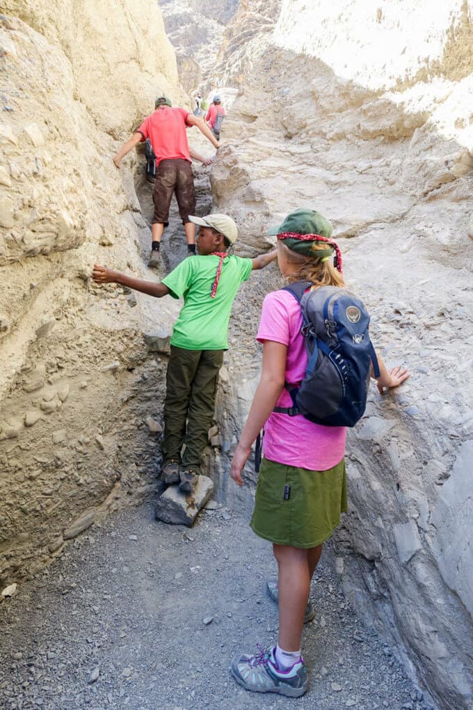
Climbing up a chute in the first narrow
Between the narrows, the trail widens considerably as we walk along dry washes. There’s no hiding the sun through these stretches though, and certainly no water sources, so we’re thankful that we brought full water bottles and extra, just in case.
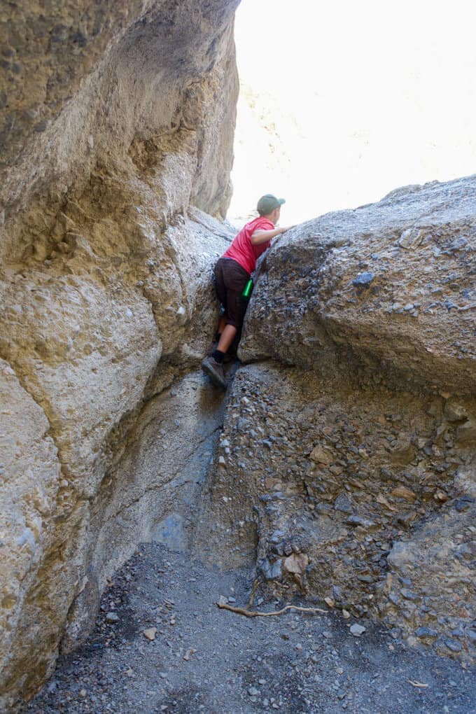
Climbing up another chute–Aidan loved the physical challenge of these sections
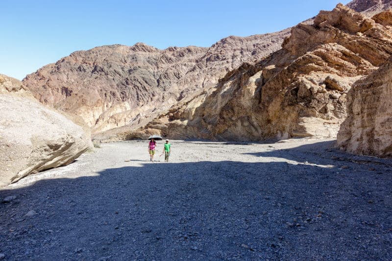
Thank goodness for hiking umbrellas and shade!
After the second narrows, we eventually reach a 25-foot fall which is the gateway to the upper canyon. Apparently there is a side trail leading up and around this fall, but we have a busy agenda for the day and much more to see, so we opt to make this our turn around point.
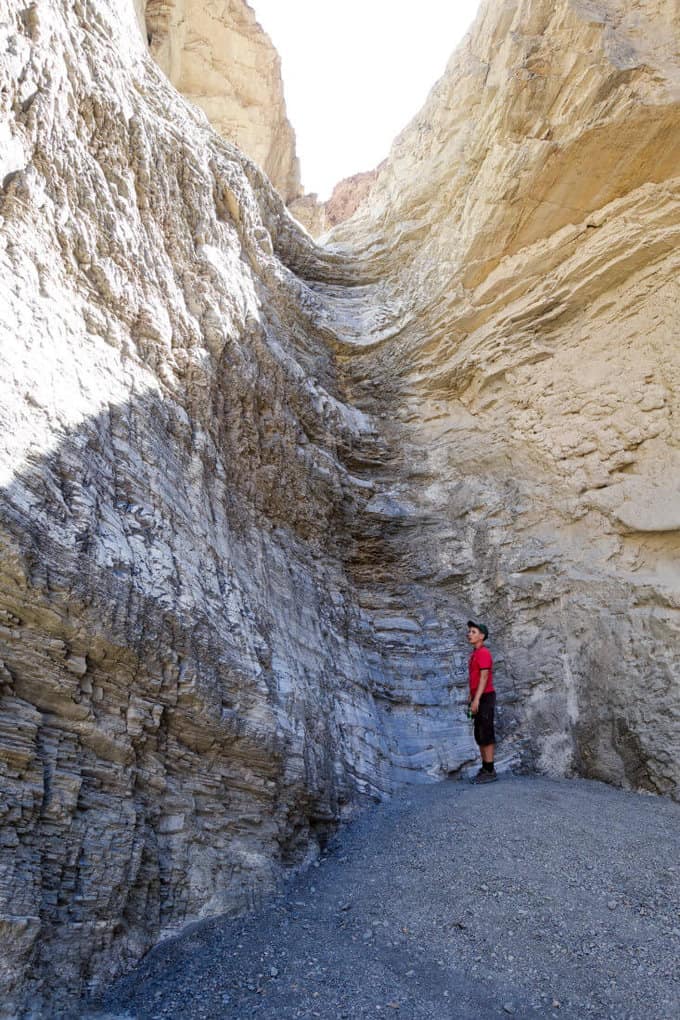
The 25-foot fall before the upper canyon starts. The kids were determined to climb up a small part of it, but it sure was slick and dry!
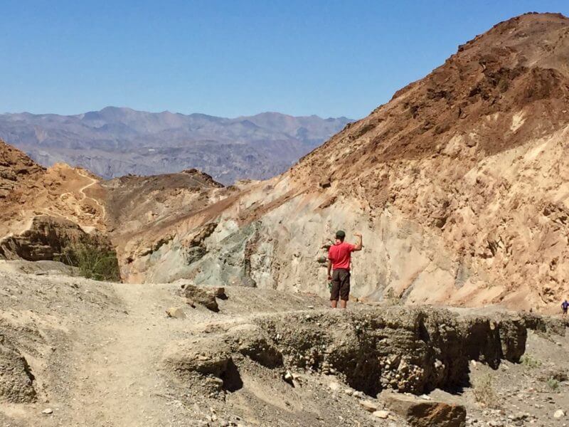
Heading back and taking in the view (and his muscles, lol)
The return journey affords us bigger views of the valley below, and before we know it we’re back at the car and heading towards Badwater Basin.
Badwater Basin
Our next stop for the day: Badwater Basin, home of the lowest point in the United States at 282 feet below sea level. It is also purportedly the record holder for highest temperature ever recorded–134 degrees Fahrenheit in 1913; however, further investigation into this claim has led weather experts to believe it’s not true.
Badwater is also the start of the “Lowest to Highest Route” which leads hikers cross country from this basin to the highest point in the lower 48, Mt. Whitney’s summit, some 135 miles away. Here’s a great trail journal of this route. This is something only very advanced and skilled hikers with exceptional navigational and athletic prowess should embark upon. I look out the car window and daydream about attempting this route one day, wondering if I have what it takes to complete it.
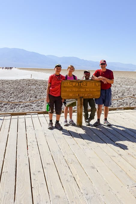
Badwater Basin earned its name when a traveler was passing through and needed water for his mule. He found some on the edge of the salt flats; however, because the water is so full of salt, the animal refused to drink it. Thus, the name Badwater was born. Rainstorms periodically flood this valley, covering the salt pan with a thin layer of standing water. At a 150-inch annual evaporation rate, the average rainfall of 1.9 inches doesn’t last long. To put it in perspective, a 12-foot deep lake could dry up in a single year here.
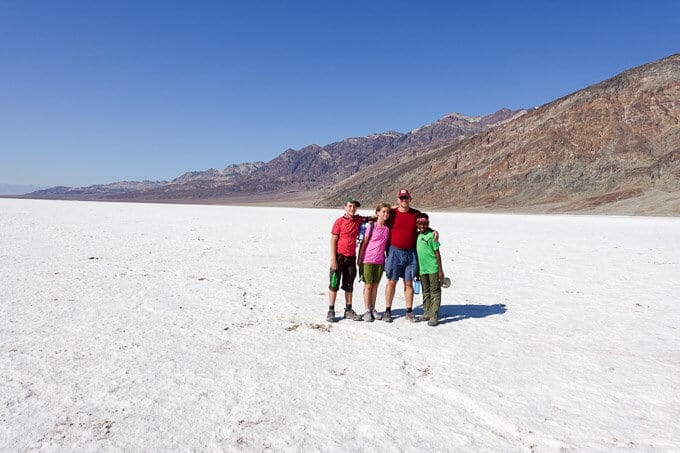
Salt for days!
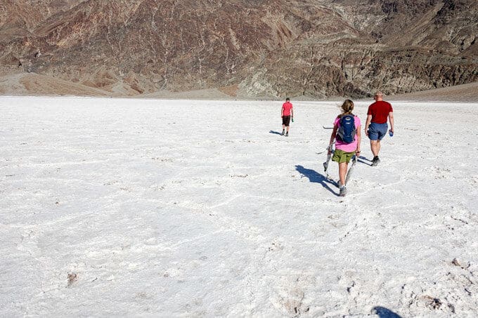
We leave the parking lot, the heat now accompanied by a sweltering wind. We’ve missed the mark by a long shot to visit this location before the heat of the day, but it’s good to be uncomfortable sometimes. When I announce that I want to walk beyond the boardwalk further into the basin, the kids are incredulous. What kind of mom makes a kid suffer in this kind of heat without an ocean or pool nearby? This one apparently, so we walk on. The crystal formations that form on the surface resembling hexagons will become more pronounced the further out we walk, where fewer feet have tread. They are my end goal on this hike.
The flats carry across the basin for about 5 miles but we stop about a mile from the boardwalk, turn around, and marvel at what resembles snow surrounding us on every side. The landscape reminds me of one of my favorite movies, Journey to the Center of the Earth (the 1959 Pat Boone version). The kids are hot and a bit cranky, and it’s precisely what I want them to feel out here–alive and vulnerable, acutely aware of their environment, both its beauty and its risks.
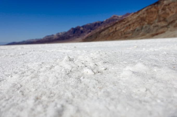
We start heading back, the hot wind stronger than ever in our face and the glare of the sun radiating off the salt, compounding its intensity in our eyes. We reach the car and feel as if we’ve walked across the Sahara, parched and depleted. Our water bottles are weak relief from our thirst since nothing escapes the tendrils of heat in this place. We drink it anyway and head to our next stop: Devil’s Golf Course.
Devil’s Golf Course
A trip to Badwater Basin isn’t complete without a side jaunt to Devil’s Golf Course, since it’s so close by. A 1934 National Park Service guide book states that, “Only the devil could play golf” on its surface due to the rough texture from the large halite salt crystal formations, hence its name.
It’s difficult to walk on the rough, uneven surface, and we don’t venture too far out. A fall onto these jagged mounds could result in a nasty cut and put an end to an otherwise awesome day. So we take a few pictures, agree that only the devil would be crazy enough to play golf here, and move on. It’s definitely worth a stop though, and further evidence that diversity of landscapes abound in Death Valley.
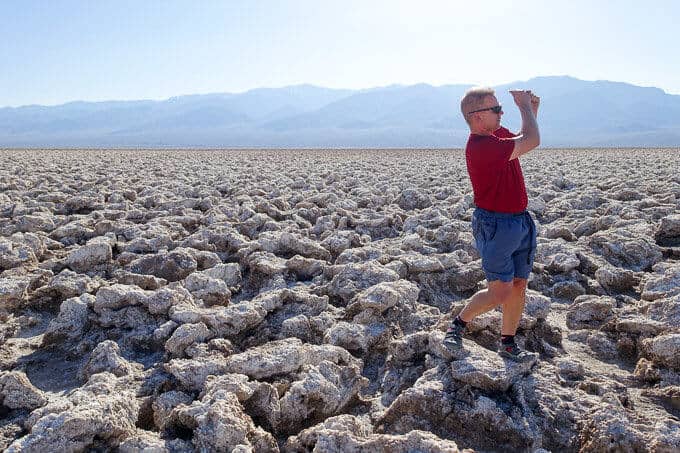
Not sure you’d ever see your ball again on this course!
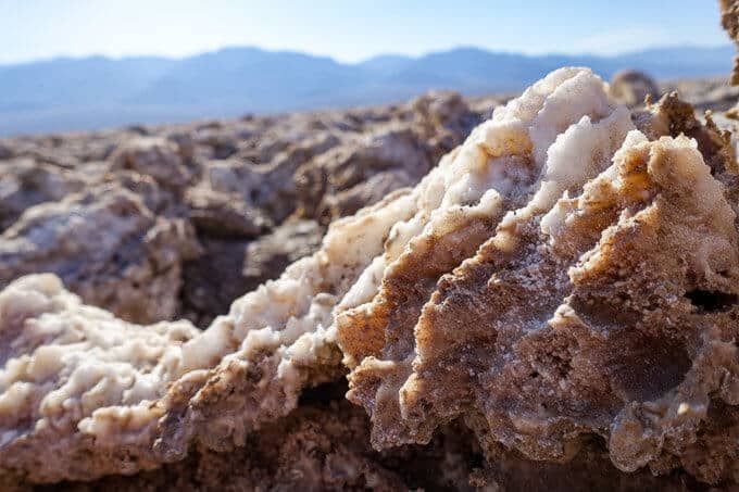
Salt halite formations
Artist’s Drive and Palette
After leaving Devil’s Golf Course, we reverse our driving route, heading back toward Stovepipe Wells, but not before making a detour to Artist’s Drive, located off Badwater Road. Artist’s Drive is a 9-mile road which leads to Artist’s Palette about 5 miles in, an area of exquisite color lining the hillsides. The entire scene makes me think of someone sprinkling Pixy Stick powder as they hike. Really, the color is the result of oxidation of metals and elements in the ground, but it’s a dramatic contrast to the rest of the area.
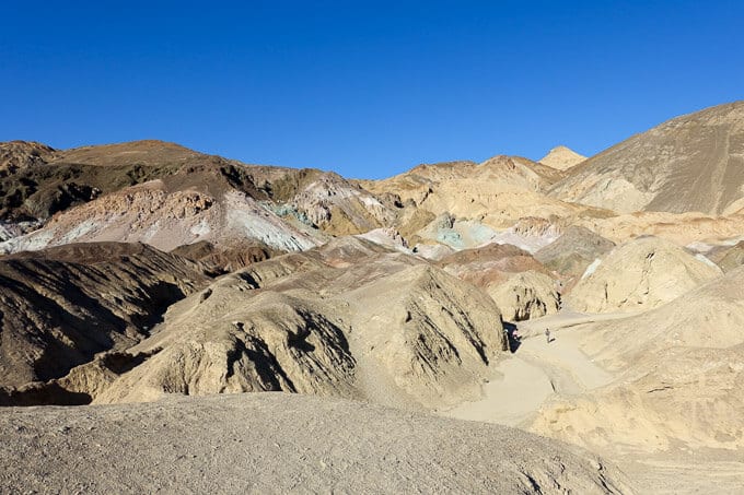
Artist’s Palette
We pull out in the parking lot to access some of the washes in the Artist’s Palette region and let the kids work off their remaining energy by climbing the hill with their favorite color. There are some more structured hiking routes the book I am carrying, Hiking Death Valley, with us recommends (it’s an excellent resource, this book, by the way).
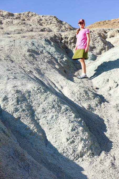
Paige climbing her favorite hill in Artist’s Palette
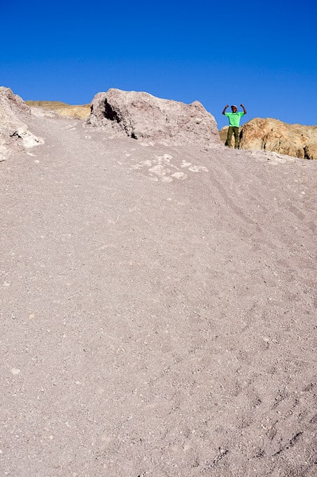
Wogene chose the purplish hue for his hill
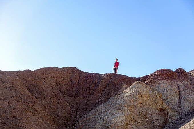
Aidan chose to climb to the highest point versus the most colorful one.
After getting our fix of the palette on feet, we climb back into the car and drive the remaining four miles out. The drive itself is entertaining and feels a bit like a roller coaster with its frequent dips, twists, and turns. We laugh as we descend back to the main road, and I’m once again filled with amazement and satisfaction. Death Valley may be a harsh environment, but it sure has provided our family a fabulous trip so far!
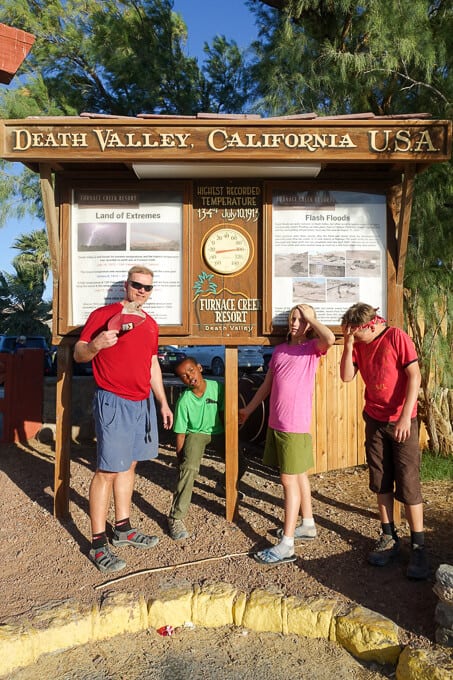
We stopped in Furnace Creek to refill our water supply and take a picture by the thermometer–it was still 100 degrees in the early evening!
Resources for Hikes
Death Valley National Park Map: This map was crucial to all our adventure in Death Valley National Park and it’s highly recommend that you take it, along with a compass (and knowledge of how to use them) on any hike in the park.
Hiking Death Valley by Michael Digonnet: This book came highly recommended to me, and I’m so thankful we had it for our trip. It is both informative and educational, providing a natural and cultural history behind many areas of the park as well as detailed trail descriptions.
**Using these links to purchase the above items does not add any additional cost to you, but it does earn me a tiny commission to help offset the costs of running this blog, which is my way of “paying it forward” to the hiking community and a labor of love. I appreciate your support if you use them! 🙂
Trail Report Card (combining all the areas we visited this day)
Overall Grade: A+. Diversity galore and landscapes unlike anything we’d ever experienced or probably ever will again!
Mileage: Your mileage will vary based on how far you hike in each of these locations. Our hike in Mosaic Canyon was 3.4 miles total; we walked about 2-miles round trip at Badwater Basin; hardly any mileage was gained at Devil’s Golf Course; about 1-mile total for us at Artist’s Palette.
Type of Hike: Out and back for all.
Suitability for Kids: These trails and areas hold a lot of “wow factor” for kids of all ages. Sunscreen, ample water, and hats are a must for them though!
How to Get Here:
- Mosaic Canyon directions and GPX files can be found here on the NPS website
- Badwater Basin directions: From the junction between CA-190 and CA-178 (Badwater Road) near the Furnace Creek Inn, head south for 16.7 miles. The parking lot is obvious on the left side of the road and there is signage.
- Devil’s Golf Course: From Badwater Basin, head north again towards Furnace Creek, but turn left on a dirt road with signage for Devil’s Golf Course. Travel this dirt road a half mile to the parking lot.
- Artist’s Drive: After following the dirt road from Devil’s Golf Course back to the main road, take a left onto Badwater Rd., heading toward Furnace Creek and then turn right onto Artist’s Drive (it’s well marked). It’s a one-way road and will put you back onto Badwater Rd., once you complete the 9 miles.
Water Sources: As with most hikes in Death Valley, there are no water sources to speak of, and it’s imperative you bring enough (the NPS recommends at least 2 liters per person for a short day hike in the “cooler” season and at least a gallon per person for longer hikes) You must drink more water here than in other places.
Hiking seasons: From the NPS Death Valley website: “The best time to hike in Death Valley is from November through March. Summer temperatures can be dangerous in the park’s lower elevations. Even during spring and autumn the heat can be unbearable for most people. Save the low elevation hikes for the cooler winter days. The high peaks are a pleasant escape from the heat in summer, but are usually covered with snow in the winter and spring. If you must climb them during winter season, be sure to be properly equipped with adequate winter clothing, an ice axe and crampons.”
Special Considerations: It’s best to hike these areas in the early morning or the later afternoon. Avoid the heat of the day between 10 p.m. and 3 p.m.
[content-upgrade id=”3475″]