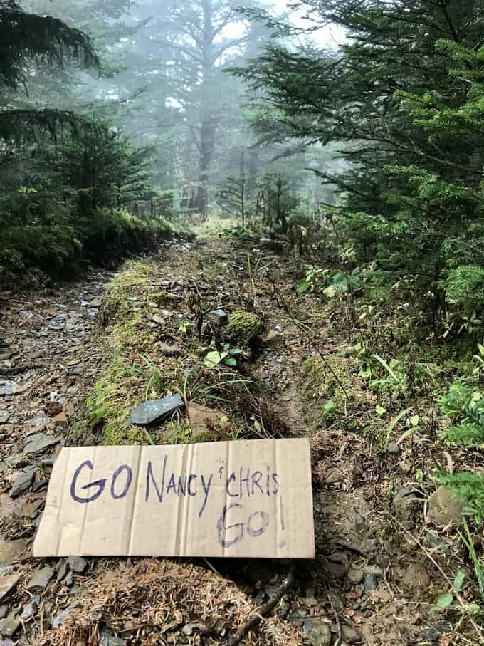
The stats from our hike are at the bottom of this post, just FYI. We earned a mixed-gender fastest known time (FKT) for our effort and I held the women’s FKT for about a year before a badass ultrarunner improved it!
And if you’d like to see the rest of my posts about the Tour de LeConte (trail journals and videos of my training hikes, including a recap of the day we did the Tour de LeConte), head here for the written posts, and my videos are right here.
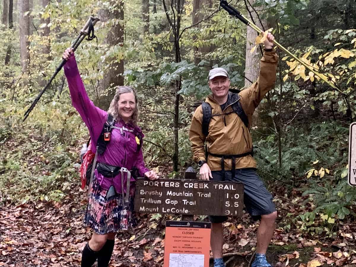
Our finish line photo!
Overview of Our Hike
The traditional Tour de LeConte route will send a hiker up or down all 5 of the trails that lead to LeConte Lodge plus one more (Brushy Mountain Trail). Our hike was 44 miles, but this number varies depending on how much you walk around during your rest breaks, and there always seems to be slight variations in GPS tracking data from various apps and devices. I took my backpack off during breaks, which had my GPS unit and phone (both were tracking our hike), so my mileage represents the mileage we hiked on trails exclusively.
Order of Trails we Hiked
It is not an understatement to say that I thought more about the order of trails we’d hike than anything else! We even changed our route a few days prior to the hike, to reduce our driving time as much as possible. Because of the layout of the trailheads, it’s impossible to do the TLC without a shuttle of some sort between trailheads. Some will bike the distance, but the vast majority drive it (which is what we did).
Side note: the driving mileage is not reflected in the mileage we hiked. I paused my GPS track for that portion of the endeavor. In other words, you’re gonna hike 44-45 miles if you tackle the TLC, no matter which order you hike it or which portion you choose to drive/bike/hike. A couple of people have even eliminated the need to hit the roads between trailheads and choose to hike up and down one of the trails (usually Alum Cave since it’s the shortest).
The order of trails we hiked is as follows:
Bullhead > Boulevard > Alum Cave > Rainbow Falls > Trillium Gap > Brushy Mountain
This order minimized our driving time (we drove from Newfound Gap and Alum Cave Trailhead) which was important to us since we were trying to finish by a certain time. If you’re not fussy about the shuttle time, a longer drive may not be as big of a deal, unless you’re concerned about not finishing within 24 hours.
Trail Considerations
Every trail has its challenges, but for me, Bullhead is the most challenging if the weather conditions aren’t just right. Because of its exposure to the sun and elements after the 2016 fires, it can be brutally hot or even downright dangerous if its windy (there are lots of standing dead trees, a.k.a. snags, just waiting to fall on an unsuspecting victim).
Boulevard Trail is combined with 2.7 miles of the Appalachian Trail, so it makes for a longer ascent or descent. If chosen as an ascent leg, the stretch on the A.T. is the most challenging part, in my opinion. The Boulevard Trail loses about 600 feet of elevation in the first mile and then it’s a gentle climb until close to the top. If its hiked as a descent, you’re stuck with ascending that 600 feet, which can be a bit of a mental challenge in the moment.
Alum Cave is very popular and hence, very busy almost any time of day. You may have to contend with getting around more people, depending on the time you hike it. It works well as either a descent or ascent, in my opinion, in regard to elevation gain/loss per mile.
Rainbow Falls goes down nice and easy as a descent; however, it’s not a bad choice as an ascent route either.
While Trillium Gap is one of the longest ascents at 8.9 miles, it’s also one of the more gentle inclines per mile; however, at the time of this post while the restoration work is ongoing, it requires more technical footwork if you descend it because of its poor conditions in many spots. For that reason, we chose to ascend it.
Brushy Mountain is long and the elevation gain per mile is greater than Trillium Gap. For that reason, we chose to descend it.
Logistics with Shuttling Cars
The evening before our hike, Chris and I met at Newfound Gap to leave his car. We then drove to Greenbrier Campground and caught a few hours of sleep before we began our hike at 2 a.m. To start our hike, we drove my car to Cherokee Orchard, which provides access to Bullhead, Rainbow Falls, and Trillium Gaps Trails.
Our amazing spouses were willing to drive to the Porter Creek Trail trailhead to pick us up at the end of our hike (Brushy Mountain ends on Porter’s Creek Trail, which you then must hike 1 mile to its trailhead).
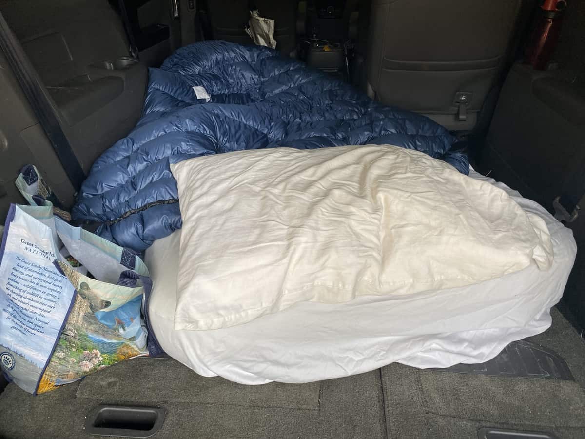
My humble abode for the night, in the back of my mini van!
Timing a Tour de LeConte Hike
For us, it made the most sense to knock out our night hiking on the front end, while our legs and minds were still fresh. Depending on your speed, you may end up hiking on both ends of the hike in the dark, but I personally think its best to get the bulk of it done at the start.
Chris and I are both night owls and generally poor sleepers, so sleep deprivation doesn’t affect either of us like it might other folks. Depending on your need for sleep though, it might make more sense for you to get a better night’s rest and start a bit later than we did (we started hiking at 2 a.m.).
Gear for a Tour de LeConte Hike
Even though the Tour de LeConte hike isn’t designed to become a backpacking hike, it’s incredibly important to make sure you take what you need to survive a night in the woods, especially if you should become injured and need to wait for help.
I’m a search and rescue team member on the North Carolina side of the park in Haywood County, and I can assure you that a SAR team will never come to your aid as quickly as you’d like (not because we don’t care, but because it takes time to mobilize a SAR team and reach hikers).
The 10 Essentials are a must on a hike of this length (or any length!), and they were definitely in our packs!
Chris and I tried to stay as lightweight as possible with our gear, without sacrificing our safety. If you’re hiking with someone else, and you plan to always stay together like we did, I think it’s fine to consider consolidating things like a water filter, with only one person carrying it.
Nutrition during the Tour de LeConte
It’s incredibly important to fuel your body properly before a hike of this length and during it. For me, what worked best was eating a small snack about every 1-2 hours. Chris and I are both comfortable eating while we hike (as long as we’re not too winded because of the terrain), so we often carried food in our hip belts to eat while we continued hiking.
Things I noshed on during the hike were:
- Trail mix (homemade mix that included various nuts and seeds, dried fruit, M&M’s, dried coconut flakes, and candy corn/pumpkins…it was fall after all!). Trail mix was the bulk of what I ate throughout the TLC.
- Green Belly Bar (this was my least favorite thing to eat –I usually like these bars, but they’re really big and I didn’t want to finish it; plus it was hard to eat on the go, so most of it just sat in my pack as dead weight).
- Bananas
- Beef stick
- Potato Chips and Fritos
- Homemade rice cake with peanut butter and jelly (made from a recipe in a great cookbook that Skratch Labs published for athletes)
- Candy Bar (Mars Bar that I brought home from Europe since they’re hard to find in the U.S.!).
- We did not use any gels, shot blocks, or things like that.
The aforementioned cookbook from Skratch Labs, Feed Zone Portables, has a great reference chart that gave me a general sense of how many calories I needed to consume per hour of effort to stay properly fueled. There is a lot that goes into those type of calculations, but I found it helpful to have a broad idea of how much to focus on. For me, the general estimate it encouraged me to focus on was about 100-150 calories per hour.
Per the Feed Zone Portable book (which has a wealth of information in it, in addition to the recipes): “As a general rule of thumb, for activities lasting more than 2 hours, if you eat at least half the calories you burn each hour, you’ll almost always be consuming an adequate number of calories to keep you going.”
One fallacy with training for an endurance-based event like this is that eating more will prevent you from running on fumes. If your engine isn’t strong enough for something as demanding as the TLC (i.e. you’re not properly trained) , no amount or type of food in the world is going to make you go faster and longer. In fact, eating more can cause adverse effects like an upset stomach (at least that’s what happens to me since it feels like it just sits and churns versus becoming properly digested).
Chris is a freak of nature and hardly needs to eat or drink on hikes, so I spend half my time during our hikes marveling at how he keeps us on pace without bonking. 😉
Hydration and Electrolytes
Until I started training for the TLC, I never consumed electrolyte powders. Once I started incorporating them into my routine though, it was a complete game changer with the way I felt on long hikes.
I think electrolyte depletion happens more quickly than we realize, and a quick boost of them by adding something Nuun tablets (Chris’ choice) or Skratch Labs powders (my choice) can really put a spring back in your step quickly!
I put a packet of Skratch Labs in my water twice during our hike, and I felt like it was just right (but if it had been a really warm day and I was sweating more, I definitely would have increased that amount).
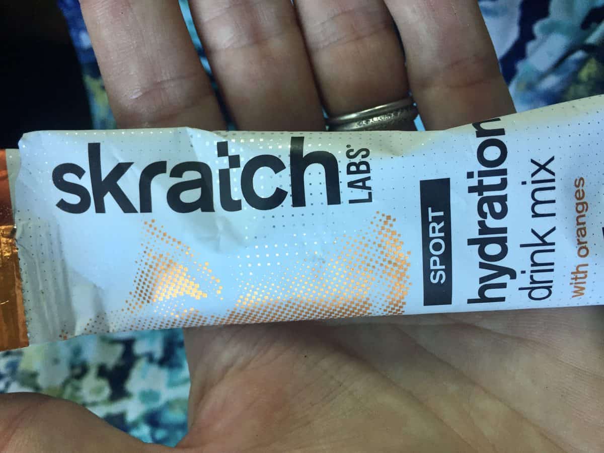
I like Skratch Labs because they aren’t too sweet.
Training
Before training for the Tour de LeConte Challenge, my typical day hikes were about 15-20 miles, on average. I’d occasionally go further but it wasn’t the norm. To do something as long as the TDL, however, required me to take it up a big notch with mileage. I started training intentionally for it about two months prior to completing it, but even in the summer and spring I was ramping up my day hike lengths to upwards of 25-30 miles, just not on a regular basis.
I think it’s important to do at least one hike in the 30-35 mile range before you attempt the TDL, with similar elevation gain and loss as the TLC. Chris and I completed a 42-mile hike two weeks before our TDL attempt. It gave me a huge mental boost to know that I could tackle some of the tougher trails in the Smokies on a hike that long and still walk the next day! Before our 42-mile training hike, I had not hiked over 30 miles….ever. So it was a testament that my body had reached a level of endurance that could sustain me for a higher number of miles than I had reached thus far.
I also felt it was worthwhile to train on the trails leading to LeConte, to get a good feel for which ones I liked to ascend and descend. For me, a typical training hike on these trails would include hiking up the mountain twice. I didn’t start doing this until the last two months leading up to our TLC attempt though.
Also, for the two months leading up to our hike, I would typically take one shorter hike during the week (10-15 miles) and in addition to the longer hike each week, as my family’s schedule allowed.
I also trained 2-3 days a week at a franchised gym called Madabolic that focuses on strength and conditioning classes in a variety of amazing ways. These classes utilize anything from dumbbells to kettlebells to body weight exercises, in addition to some boxing, rowing, cycling, etc. I personally believe that high-intensity interval and weight training is just as beneficial as hiking (but it doesn’t need to be Olympic style lifts like Cross Fit tends to focus on, unless you’re just into that sort of workout).
Chris trains in a franchised gym called Orange Theory Fitness and he likes it as much as I love Madabolic.
Rawlogy Cork Massage Balls were a huge benefit following my training hikes. I used them to roll out sore muscles and under my feet as well. Rawlogy’s website has several videos showing various techniques you can use. Foam rollers are the choice of many hikers, but I like the portability of Rawlogy balls since I can use them as soon as I get off trail and my muscles are still warm.
Finally, an invaluable resource to me as I trained was a book called Fixing Your Feet by John Vonhof. The author is a well known and well-respected ultra runner and foot expert. He has helped countless hikers, runners, etc. through this book and in person during ultra races. Our feet take the biggest beating of any place on our bodies during a hike, whether it’s 1 mile or 100 miles. They deserve special attention and care, and this book is solid gold for helping with that cause. I can’t recommend it enough.
Season to Hike the Tour de LeConte
While the Tour de LeConte Challenge could be hiked in any season conceivably, I personally think May or late September are the sweet spots of the year. It’s not peak season yet in the Smokies (so fewer people on the trails), it’s usually not too cold or too hot, and the days are still long enough to get a fair amount of hiking done while it’s still light outside.
We chose to do our hike in late October because it’s what worked best with our own lives. We got lucky, for the most part, with weather; however, it very well could have been an icy mess towards the top if the temperatures had gone lower.
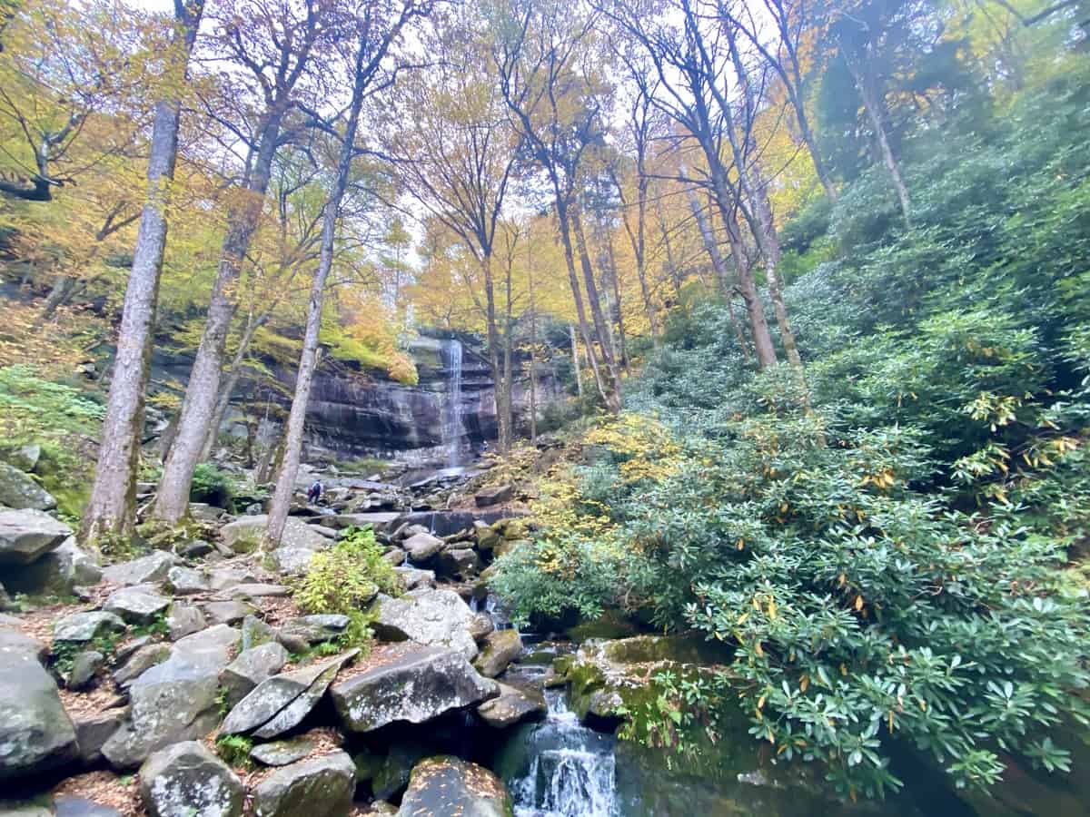
Rainbow Falls was picture perfect during our hike!
Tracking Your Hike
For many reasons, I love tracking my hikes on the Gaia app that I use on my phone. It’s a great way to help gauge your pace as you train and do the TLC. If you pay attention to your pace over a series of many longer hikes, it gives you a good idea of how many hours it will take you to complete the TLC. Of course you can do this without an app, but I’m not organized enough to keep track of my hikes unless this app does it for me!
I also tracked our hike with my Garmin InReach Mini. I primarily hike with this device for safety reasons (I can press an SOS button to alert emergency services that I am in need of help from a serious injury or if I’m lost), but it was fun to use the tracking feature during our TLC hike, so friends and family could follow along with our progress throughout the day by using a special link I sent them. Certainly not necessary, but if you have a device that allows you to do this, it was fun to activate that feature!
If you’re attempting to do this hike at a record speed and claim it as such, it’s a necessity to track it in the this day and age. Heather Anderson, a.k.a. “Anish,” who has multiple and very competitive fastest known times (FKT) under her hip belt, once said something along the lines that people should only track FKT hikes that they want others to believe. I agree.
Side note: I’m able to offer a 20-50% discount off a Gaia subscription through my blog. I highly recommend Gaia (and yes, I like it more than All Trails–it’s much more robust). You can access the discount right here if you’re interested. And here’s a video I did in my Facebook Group about Gaia’s functionality.
Final Tips
Mentally, it helped me significantly to think of this hike as 6 segments instead of 44 miles. I tried hard to never look at our mileage and just stay focused on the 6 segments.
It’s also helpful to think of individual trails in segments versus their entire lengths. For instance, Trillium Gap can be divided into 3 segments, divided by Grotto Falls and the junction with Brushy Mountain Trail. Alum Cave Trail can be divided into halves by Alum Cave, etc.
I love repeating mantras when I am on a grueling hike. For this one, I choose to use the phrase, “Get out of your own way.” I would imagine myself standing in front of me, and I’d sweep her to the side with my arm as I passed, saying these words mentally. It helped!
It’s always helpful to keep a consistent pace on a really long hike, versus starting out strong and dwindling as the hike wears on. You’ll naturally do that to some degree anyway, but I think it’s much more beneficial to be intentional about staying consistent.
For climbs, if I can still talk through them, I feel like I can hike forever. As soon as my heart rate increases to a level where I can’t talk, I try to dial my speed back a little. Every now and then it’s fine to feel that winded, but not for miles and miles.
Hiking poles are a life saver for your joints on descents and they will help power you up a mountain more efficiently as well.
There’s no need to carry all your food for the entire hike, assuming you have cars at various trailheads. We didn’t carry all of ours at one time. I left myself a variety of snacks to choose from in each car, since I had no idea if I’d be craving savory or sweet foods at any given point.
We also had extra shoes and socks in each car, just in case we wanted to switch them out (we never did though). Extra clothes are a great idea too, especially if you think it will boost your morale to have something “fresh” on eventually. I changed my dress once, but if truth be told, I just wanted to show off Lightheart Gear’s various dress patterns, since they were kind enough to provide me with a special one for my hike. 🙂
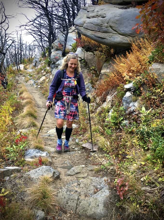
My beautiful dress from Lightheart Gear. My motto regarding hiking dresses is: If you’re gonna smell that bad, you might as well look pretty while you reek!
Make sure to leave your itinerary with someone before you start your hike. You should do this on every hike, by the way, but especially on a hike this strenuous. If you didn’t come off your last trail as scheduled, it’s much easier for a SAR team to come looking for you if they have an idea of where you may be, based on your last known point of being seen (or heard from) throughout the day.
If friends or family are meeting you at the end, let them know if there’s any special food you might want to celebrate. I didn’t tell my husband to bring me anything, but he brought Chris and me a Chick-fil-A milkshake, and it was the best milkshake I’ve ever had in my life!
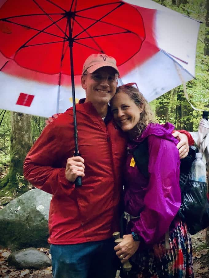
The person who always makes it worth coming home to as quickly as my feet will carry me.
If friends or family offer to meet you along the route somewhere, don’t decline the offer! We were surprised by my one of my best friends at the end of our third ascent, and it was one of the most special moments of my life, seeing her there waiting for us (in the cold rain, no less)! I had no idea she was coming and it was a huge morale boost, to have someone cheering us on that far into the hike!
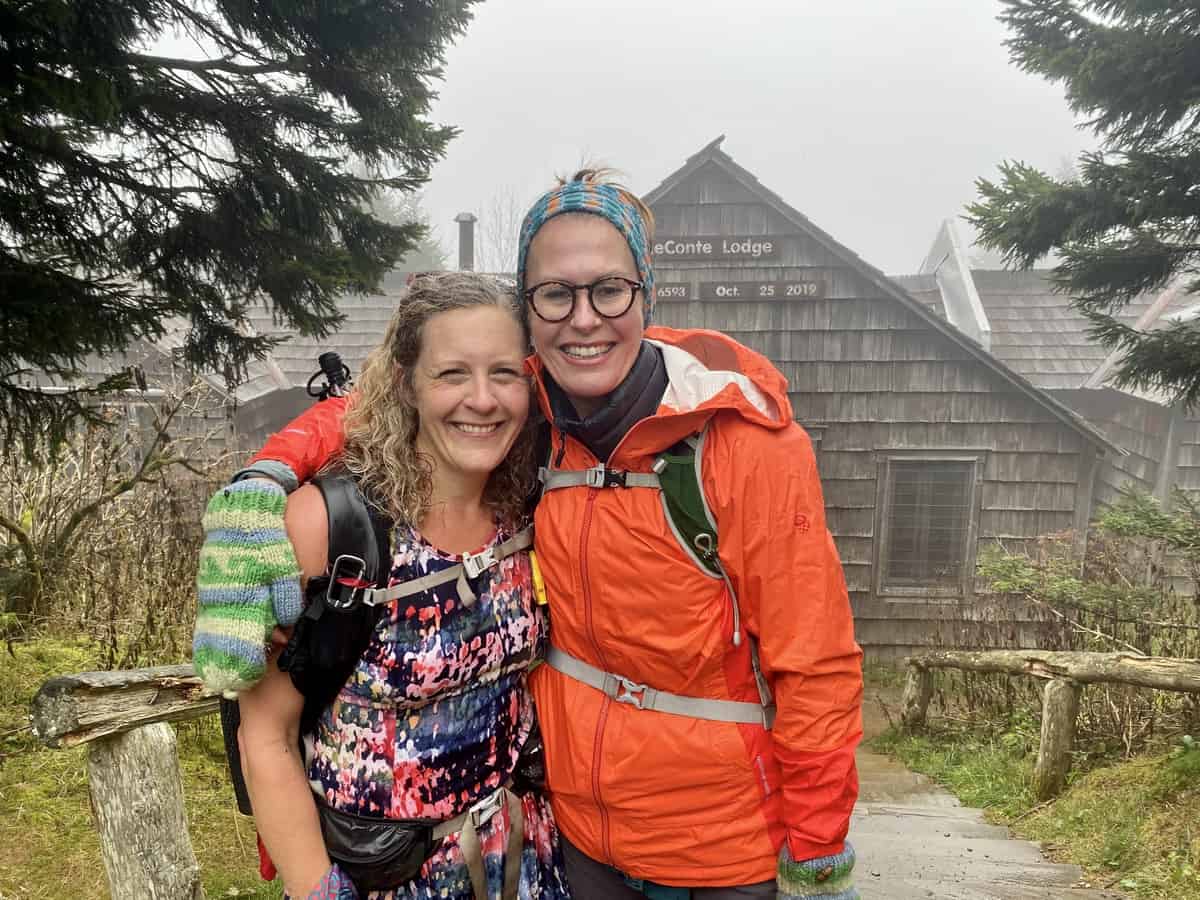
Seriously, the BEST friend ever!
The most important thing you can pack with you for your TLC hike doesn’t weigh a thing, and it’s called Positive Mental Attitude (PMA). A healthy dose of PMA will make the worst weather, painful joints on an unending descent, and burning legs and lungs on a relentless ascent, only feel half as bad. Never underestimate its power, whether it’s on something “fun” like the TLC or in a survival situation in the backcountry, should you ever find yourself in one.
Most of all, HAVE FUN! While the TLC is a big challenge, it’s not insurmountable by any means if you’re ready for it!
Helpful Websites
LeContest has a mission of “Tracking the most relentless climbers on the Smokies’ most addictive mountain.” And it does a great job of it! Tom Layton, the website’s creator, is an all-around awesome human being and was a big supporter of our hike from the onset of hearing about it. He keeps track of people’s summits on Mt. Le Conte and maintains a list of Tour de LeConte finishers (with associated stories about many of these hikes).
Another helpful website to learn more about the Tour de LeConte is 24 Hours of Mt. LeConte, which was started by a two-time Tour de LeConte finisher. While it doesn’t appear to be an ongoing endeavor with new posts, the information is timeless. It was an incredibly helpful resource to me as we planned our hike.
Our Stats
Stop LeConte: 4:18
Break—7 mins
Start Boulevard: 4:25
Stop Newf’d Gap: 7:08
Break/drive—23 mins
Start Alum: 7:31
Stop LeConte: 9:16
Break—8 mins
Start Rainbow: 9:24
Stop Trillium: 11:33
Break—11 mins
Start Trillium: 11:44
Stop LeConte:2:55 (est)
Break—11 mins
Start Brushy: 3:06
Stop: 6:13
Total Time: 16:13
Break Time: 1:00
Moving Speed: 2.91 mph
Average Speed: 2.73 mph
I hope this has been helpful but please do reach out if you have questions! One of the best parts of being a hiker is paying it forward to other hikers with knowledge like this! 🙂
Happy trails,
Nancy
“The difference between an ordeal and an adventure is your attitude.” ~ Anonymous
