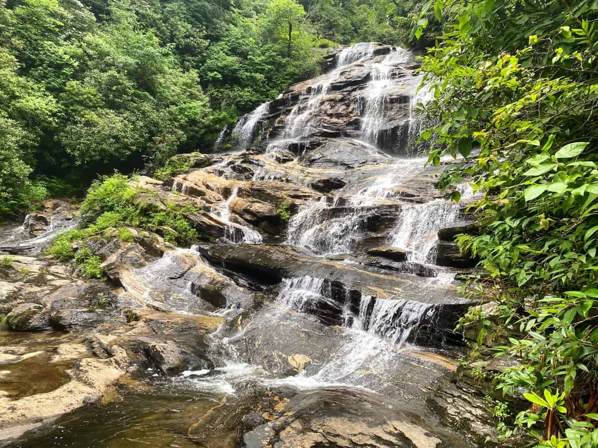
Glen Falls is a lovely, short 2ish-mile waterfall hike, just outside of Highlands, NC. Depending on your energy level, it’s even short enough to combine with other hikes in the area. I hiked the Whiteside Mountain loop (2 miles) and Yellow Mountain Trail (12.5 miles) prior to hiking this route. All three hikes are part of the popular 100 Favorite Trails of the Smokies and Carolina Blue Ridge Map and its associated challenge hosted by Carolina Mountain Club.

If you’re not familiar with this map, it’s been around since 1966 and was updated in 2020 by Great Smoky Mountains Association and Carolina Mountain Club.
This hike begins on the outskirts of Highlands, NC so it’s also a fun place to plan a post-hike meal or coffee stop in the swanky mountain hamlet. Tumbling through the steep and rugged East Fork Overflow Creek Valley, Glen Falls is a long cataract with multiple drops along the path it carved between Horseshoe Mountain and Chinquapin Mountain.
The Glen Falls hike offers the unique vantage point of witnessing both the top and bottom of a waterfall with three viewing decks. Also, while many hikes only provide a waterfall or mountain view, this one grants both with a vista of Blue Valley and Rabun Bald, the second highest mountain in Georgia.
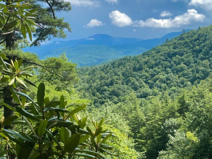
Ominous skies threatened to unleash their fury as I hiked, but I guess the weather gods decided I’d have enough after my soaking on my Yellow Mountain hike a few minutes prior. Thankfully, this hike spends its time tucked away in the woods unless it’s making a quick detour to the viewing platforms.
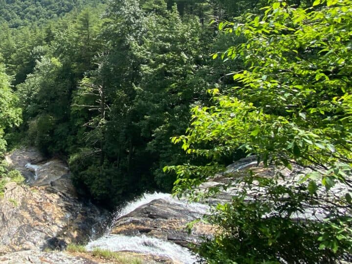
These platforms provide a fantastic way to view the falls from a safe distance, especially from the top of the upper falls (photo below), a place most hikers never see along the length of a waterfall (at least safely).
As I was researching this hike on a very popular website, I found this advice accompanying a photo of the top of the upper falls: “At both the middle and upper sections, there are observation decks to safely view the falls. If the water is down, you can venture out on rocks for a closer view. Of course, be careful of the slippery rocks and swift currents. Stay on the dry stones.”
I read that phrase multiple times, hoping I was misinterpreting it. Sadly, I don’t think I am, especially given the photos I found online with people standing mere feet from the upper fall’s top edge. To be clear, this is horrible advice. I can tell you from years of search and rescue experience, the some of most gruesome and heartbreaking things we witness usually involve people standing or playing in creeks near the top of waterfalls (including the deaths of children). Please, don’t do it, no matter how dry the rocks are or how low the creek is flowing.
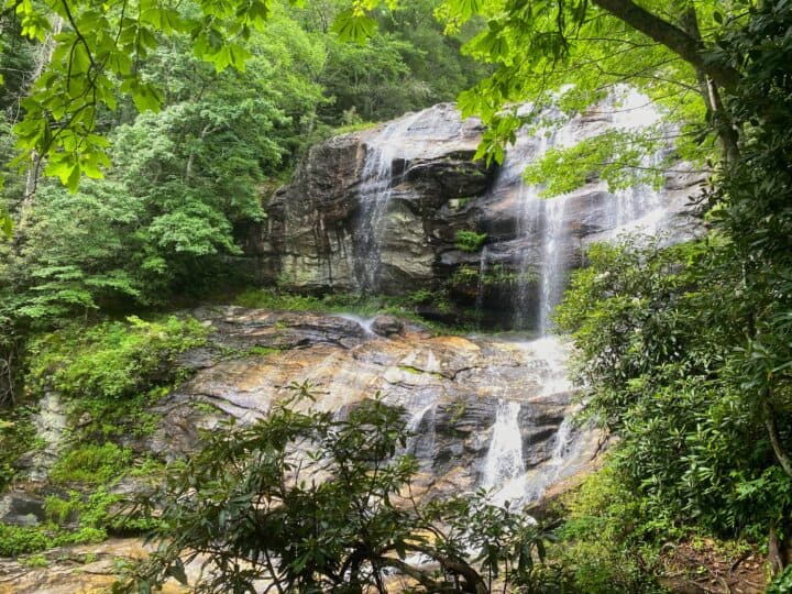
The second observation point sits near the base of the upper falls. It’s a shame this hike doesn’t start from the bottom and work its way to the second overlook though. Maybe people would remember how far the drop is before venturing out into the creek at the top.
Lest you think I’m a curmudgeon for belaboring this point over and over, read this article about the injuries and deaths from people venturing to the top of Glen Falls. And if that doesn’t convince you, here’s another article that was published two days after I wrote this post.
Back to the waterfall hike! After leaving the second deck, I reached the third observation area at the base of the middle falls about a quarter mile later. This was actually my favorite spot of the three overlooks. I really loved the angle of this cascade and how the water tumbled over the rocks.
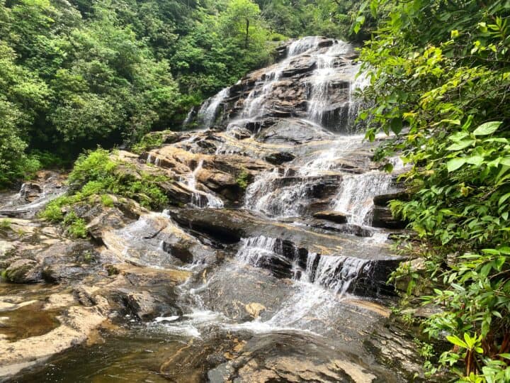
As I worked my way down the trail, I couldn’t resist heading to its terminus which was further than the 100 Favorite Trails Map indicated I needed to go to check the box of completing the hike. It really bugs me to leave a trail hanging like that–you never know what you’ll come across. But I can tell you now that you won’t miss much in terms of scenery. The trail becomes steeper and it’s a rutted, rocky mess.
The best views of this hike ended after the observation areas for the upper and middle cascades, but there’s a side trail leading to the third and smallest drop which has a pretty little pool at the base (and I completely forgot to take a photo of it). If you’re going to play in the water, this is the spot to do it since it’s at the base of all three drops and the water is calm here. Still, be smart about it. If in doubt with water, you should probably pay attention to that little voice telling you it might not be safe.
This would be a great route to reserve the waterfall lookout points for the way back up. I imagine it might not feel as taxing with the frequent stops to ooh and aah. But since it’s a short hike, you’ll be fine no matter how you do it, and really, they’re worth stopping at twice. Just pretty please don’t stand at the top of the falls, k?
P.S. Here’s something I wrote about recreating safety around waterfalls after a tragic recovery effort my team took part in a few years ago (and we’ve taken part in many incidents since then).
P.P.S. If you’d like to purchase this map and start chipping away at this amazing hiking challenge, it’s available for purchase in several retailers surrounding the Smokies. Or you can purchase it online right here (and you’ll get free shipping if you order it with my book, Chasing the Smokies Moon: An audacious 948-mile hike–fueled by love, loss, laughter and lunacy).
