Trail Journal
Valentine’s Day is one of my favorite holidays. If I’m being honest, my love for it stems from Russell Stover’s box of chocolates that you can find anywhere subpar chocolate candies are sold. Nostalgia drives my passion for it, and I’ve trained Larry well. He knows I don’t want anything fancy–just get me the big red heart and I’m a happy camper.
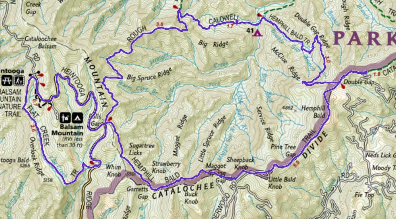
The indulgence requires some serious calorie burning though, to offset the damage it does to my hips. So out of consideration for my sweetie, who I definitely wanted to hike with on the day of love (but who didn’t want to cover the training miles I needed to get in), I choose two different routes for us to hike.
Thankfully, we’ve been married long enough to appreciate the value of hanging out with friends we love on Valentine’s, as well as each other. So our friends Diana and Chris joined us. Chris came over from Tennessee the day before and spent the night at our house. We needed to work on logistics for a big project we have coming up this spring. More on that endeavor soon. Let’s just say it’s fairly nuts, but all in the name of a good cause (it will be like the Tour de LeConte Challenge we completed last fall…but on some serious steroids!).
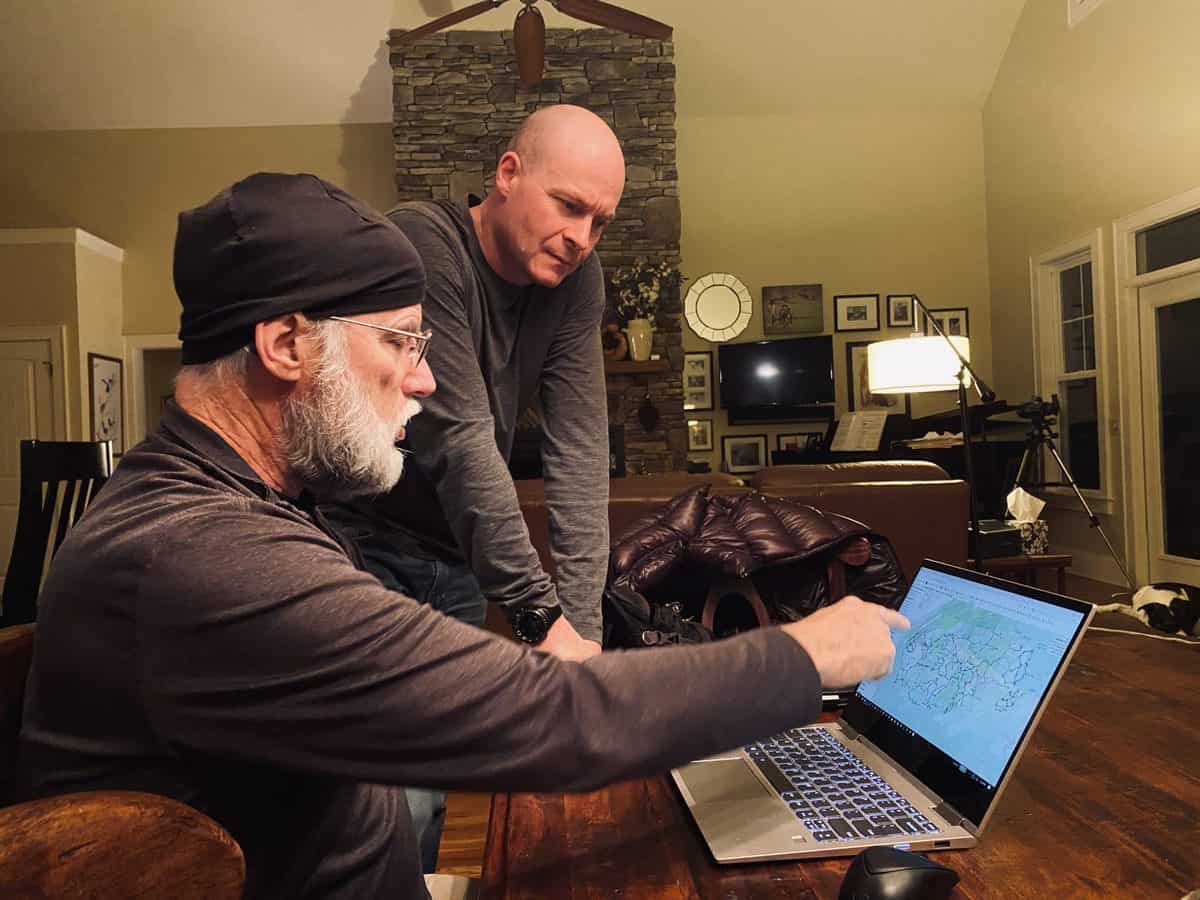
Lots of planning going on the last few weeks…Lane, my SAR teammate and our mutual friend, is a logistical wizard
Our hike started at The Swag’s parking lot (a perk of being employed as one of the inn’s event leaders) on the Cataloochee Divide Trail. A quick half mile in and we started our steepish descent on Hemphill Bald Trail.
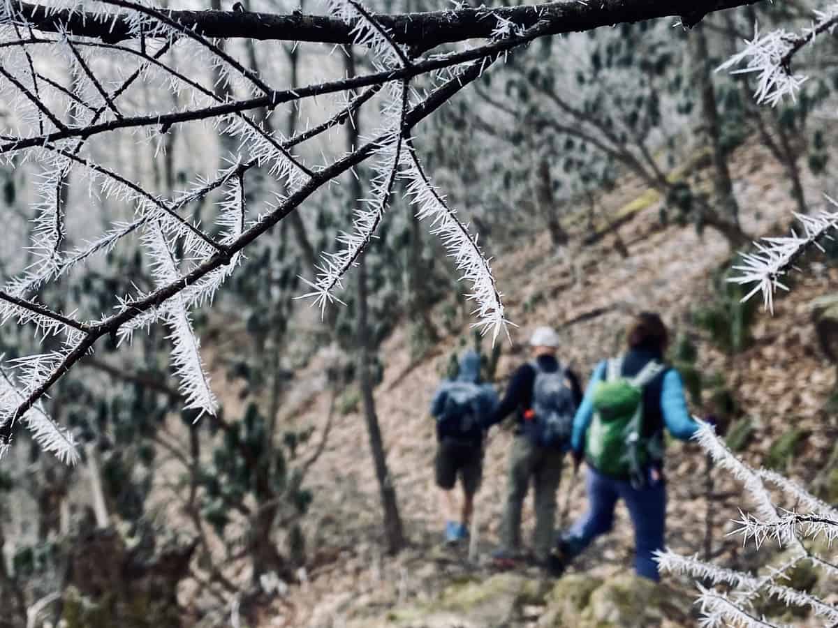
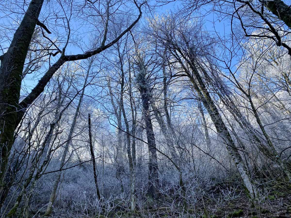
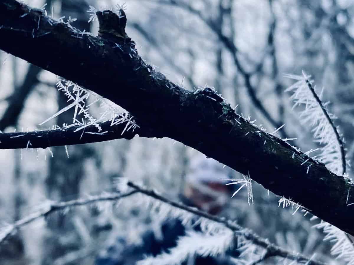
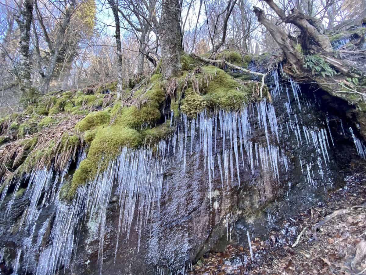
Rime ice is always such a treat to see on winter hikes.
Last summer, my SAR team was involved in one of the largest scale searches the Smokies has ever seen (that ended well after five days, thankfully). It’s still mind blowing to me, how gnarly the off-trail terrain was that my team covered in this area. I’m thankful the biggest hurdles we face on this particular hike are stream crossings.
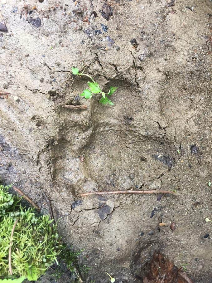
Cool bear track my SAR team found off trail, on the search mentioned above.
We encounter several stream crossings, but all of them have well-placed natural aides to get us across without wet feet, primarily in the form of downed trees spanning their width. Diana and Chris are fearless and walk the length of a tree too narrow for my comfort level (and Larry’s). Larry and I take a lower route on a different tree with more limbs to navigate around, but we all fare well and stay dry.
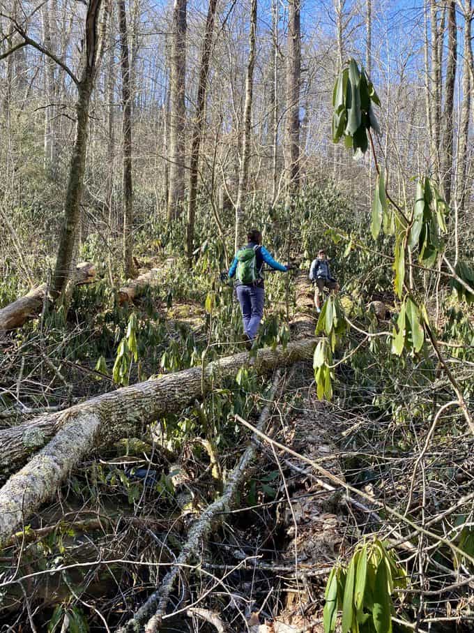
Diana and Chris crossed on the log Diana’s on in the photo. Larry and I crossed on the lower one to the right with lots of leaves and limbs covering it.
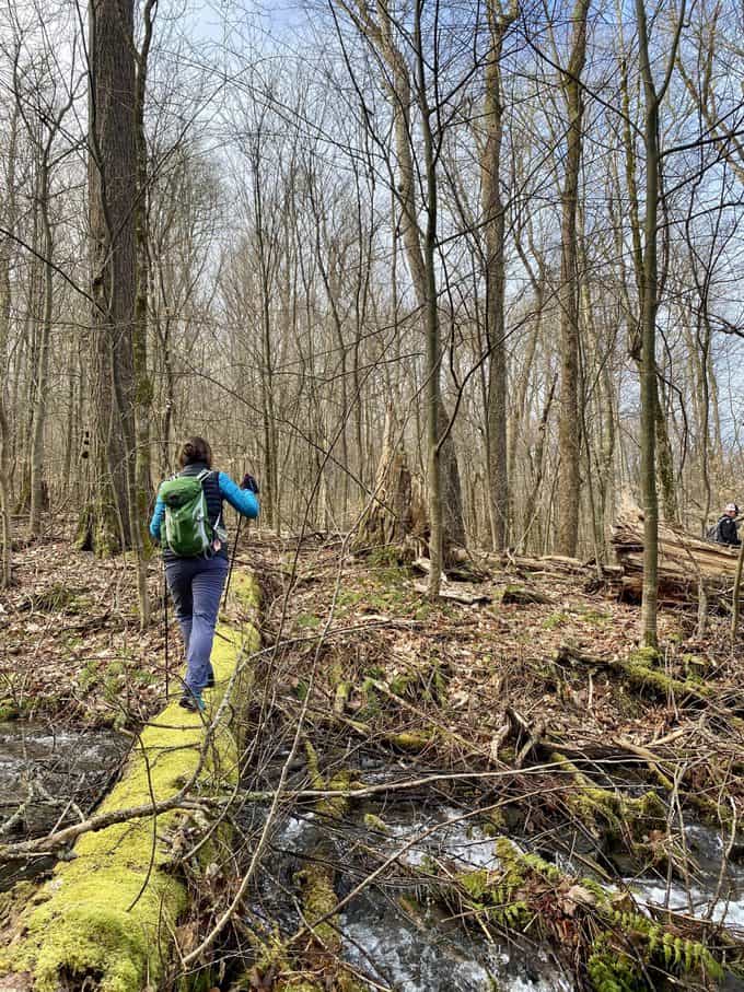
Easier log crossing
When we meet the junction of Hemphill Bald and Caldwell Fork, followed by Rough Fork, we begin a moderate climb. This hike will be the second longest day hike Larry’s ever taken, and he’s doing great! Diana and I spend some time catching up as we climb. Her fabulous business, Hazelwood Soap Company, keeps her hopping, so our time together hasn’t been as frequent as I’d like lately.
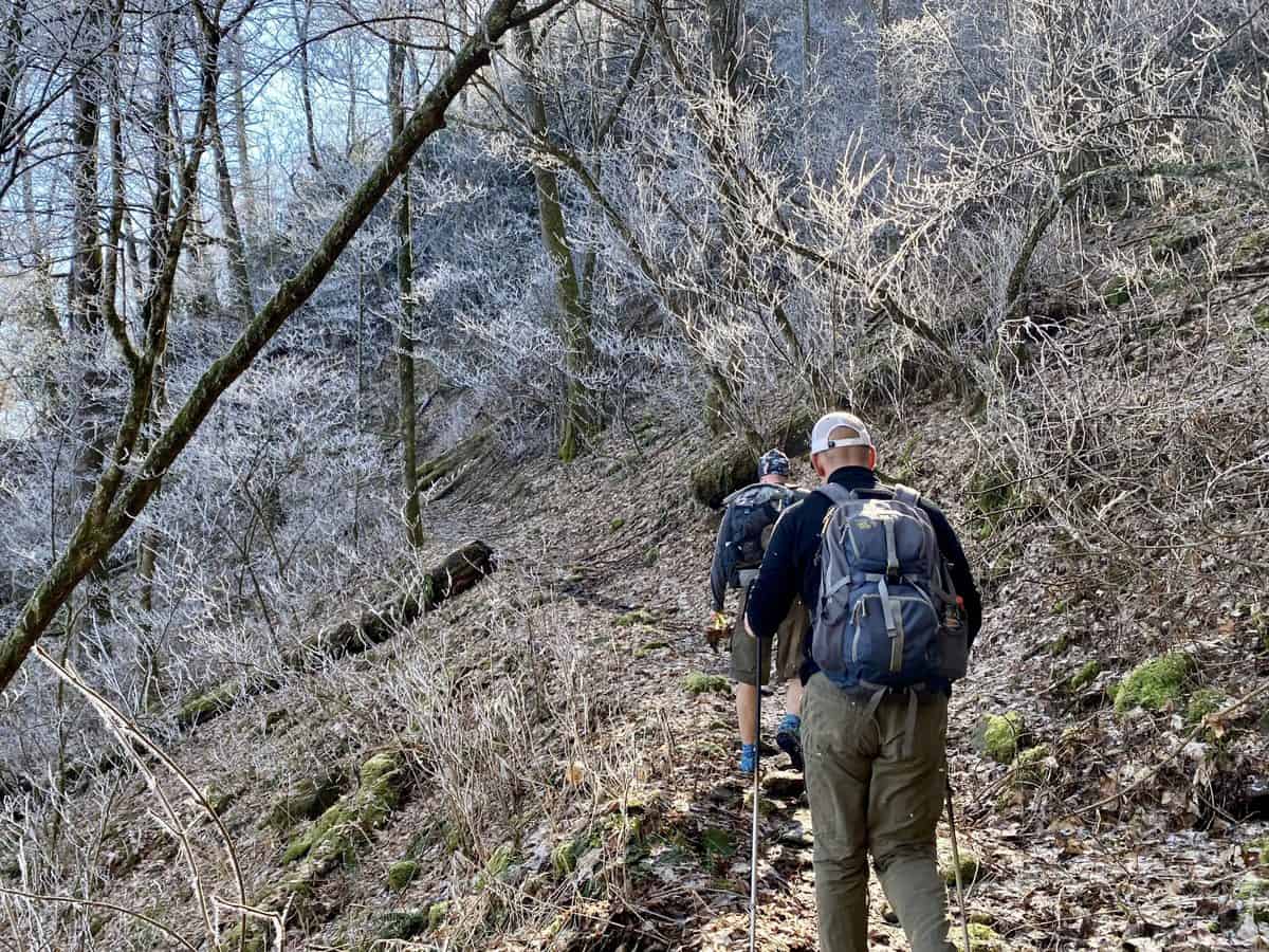
Eventually, Rough Fork Trail levels out and we all reconvene and hike together. Chris answers Diana’s questions about his career in the Air Force. It’s always fascinating to me, to learn about the various career paths my friends have taken. I love how all four of us haven’t ended up where we started (although Chris has stayed the course more than the rest of us).
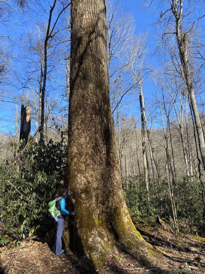
A very short side trip to see the enormous poplar trees on Caldwell Fork Trail is well worth the few extra steps!
When we reach Poll’s Gap, we take a break and enjoy our lunches together. I brought bagels filled with smoked salmon, cream cheese, avocado, and arugula for Larry and me. Who needs a fancy restaurant when you have the luxury of a fun lunch like this in paradise! We polish it off with a “Swag Bar,” which I made from the inn’s recipe. It’s not nearly as good as the ones they make though, so I guess I’ll have to do another test run with the recipe. 😉
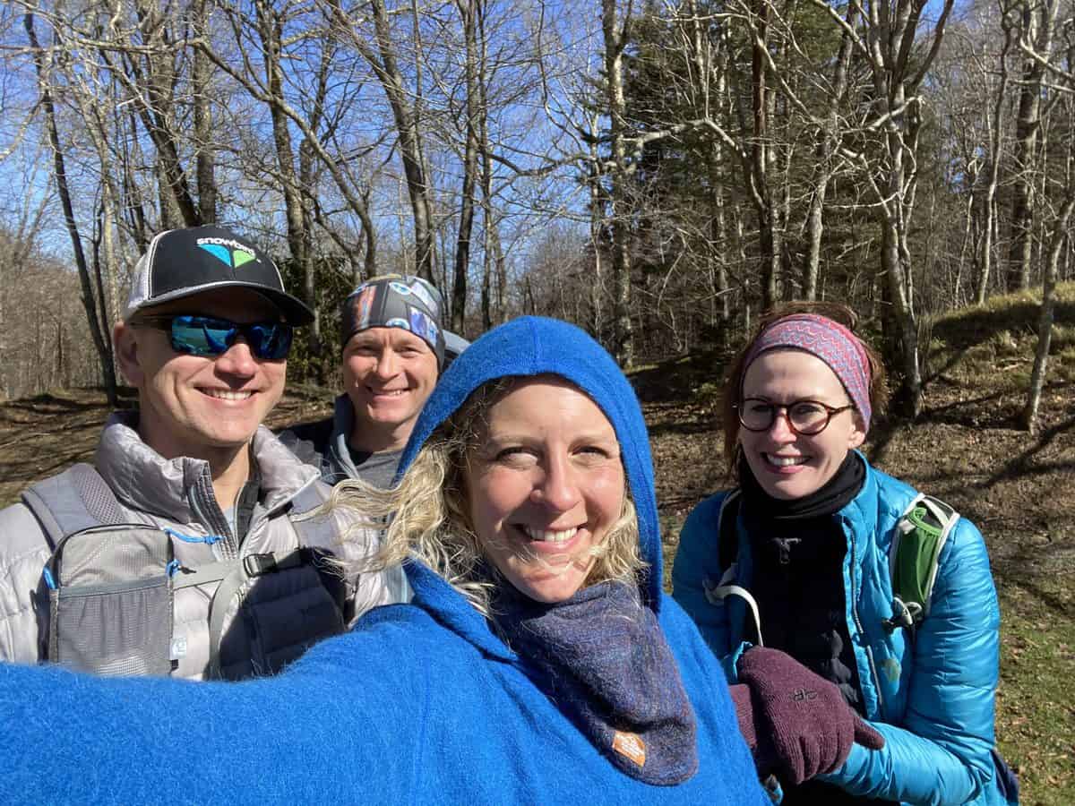
Our fun crew for the day–I love these people!
After we eat, Chris and I part ways with Diana and Larry, who will head out on Hemphill Bald Trail to complete their route at The Swag. Chris and I need to extend our hike to get more miles in for our training. Both of us are working on our 2nd (me) and 3rd (Chris) maps, so we want to grab Flat Creek Trail. To access this trail during winter, it requires a road walk up Heintooga Ridge Rd. (which is closed to cars until May 15), so we set out while enjoying the sunshine and easy walking together.
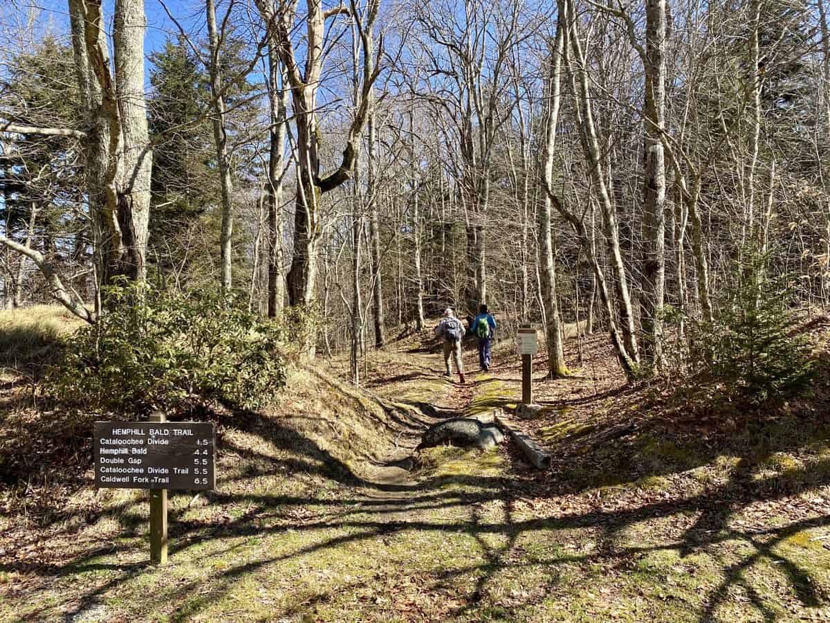
Sending Larry and Diana up Hemphill Bald Trail
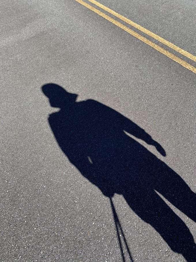
Darth Vader joined us for the road walk!
We make good time and hit Flat Creek Trail for the quick 2.6 mile descent on it. This has always been one of my favorite trails in the park. It’s a gentle grade with serene, wooded scenery along the way. Flat Creek and its tributaries are flowing stronger and higher than usual though, so we finally get our feet wet crossing them. Brrrr, it’s frigid and I know I’m going to have numb feet the rest of the hike.
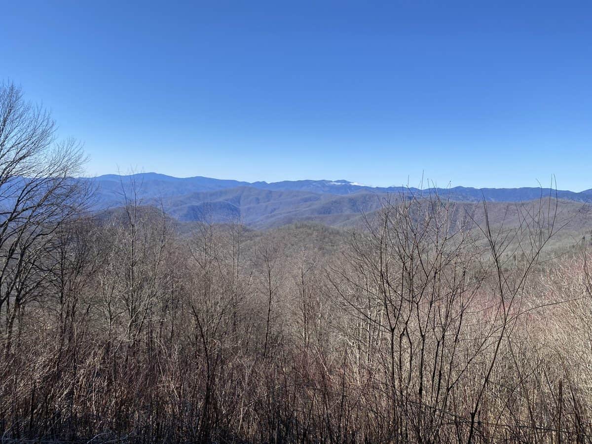
Flat Creek Trail starts with this special view, complete with a bench overlooking it.
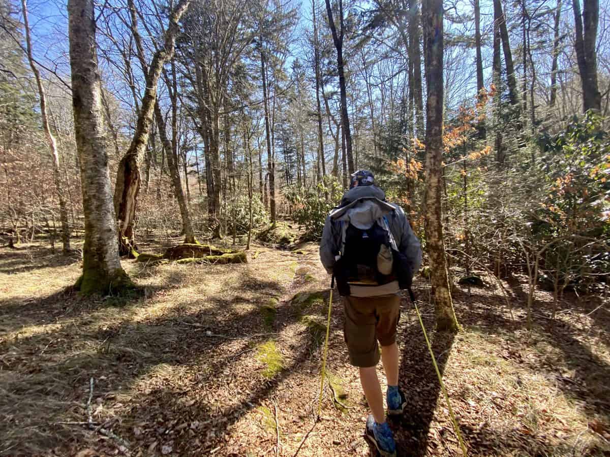
Flat Creek is such a nice trail.
After we finish Flat Creek, another short road walk brings us back to Poll’s Gap where we pick up Hemphill Bald Trail again. The trail starts out innocently enough, but we both know we have some climbing ahead. It’s been a few years since I’ve hiked this trail (and I did it in the opposite direction), so the amount of ascent catches me a bit off guard. I feel like we should be finished when I see Hemphill Bald peeking out in the distance, but not yet. A final pitch of climbing, which definitely feels steeper than the elevation profile shows in my “Little Brown Book,” and we’re at the top.
I look across at Cataloochee Ski Area and smile, thinking of Larry and Aidan (my oldest), and how many hundreds of runs they’ve made during their time as ski patroller and instructor. It’s such a beautiful day, but the temperatures are dropping as the day wears on, and my feet are still numb and kinda hurt from the cold, so we don’t stop for long to take in the view.
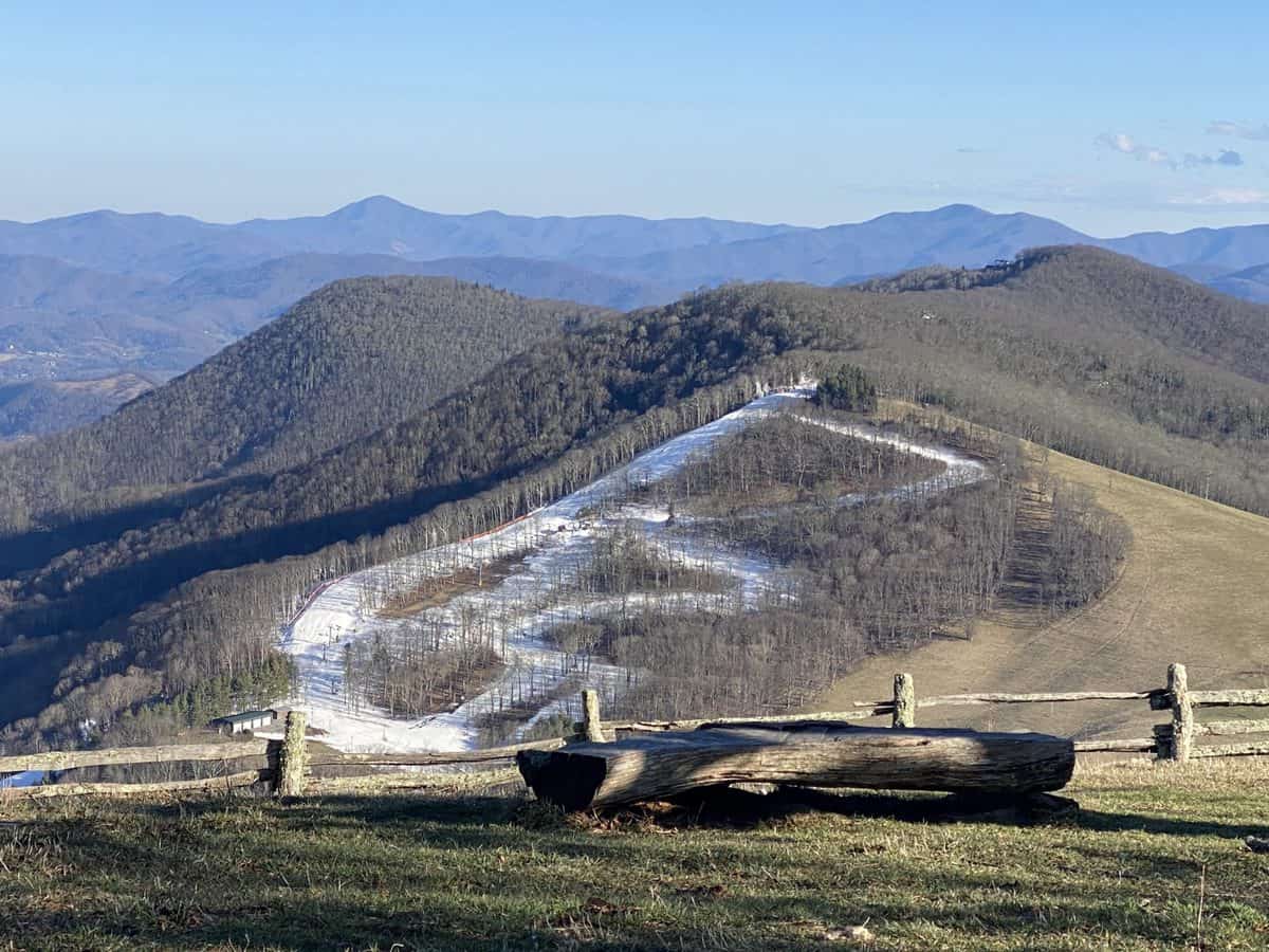
The slopes of Cataloochee Ski Area
We reach Chris’s car in good time and head back down the mountain. What a fantastic way to spend the day of love–in one of the places I love the most in the world!
Happy Trails,
Nancy “Seal Mom”
TRAIL REPORT CARD
Mileage: 14.4 miles or 20.7 miles, depending on the route.
Potential Hazards: Winter weather is a wild card in the Smokies, and you should always check the weather forecast before leaving on a hike (and several days after your hike, just in case you’re out longer than expected). Always leave for a hike expecting to stay out overnight, just in case you’re forced to with an injury, are lost, etc (SAR teams will never arrive as quickly as you’d like them to).
Flat Creek and Hemphill Bald Trails have several unbridged stream crossings. None of them were terribly sketchy, but they were definitely cold in winter!
Suitability for Kids: The route Diana and Larry took would make for a nice 13-mile day hike from Poll’s Gap, when Heintooga Ridge Rd. is open (May through the fall, typically). It’s not a hike I’d recommend for every kid, depending on fitness and interest levels, but there’s enough to see along the way that I think it would appeal to kids who enjoy hiking.
Overnight Option: The Hemphill Bald loop, starting and ending at Poll’s Gap, would make a nice overnight hike with a stay at campsite 41, which is in a tranquil and beautiful setting.
Dog Friendly: No. Dogs aren’t allowed on trails in Great Smoky Mountains National Park with the exception of the Gatlinburg Trail and the Oconaluftee Visitor Trail.
Permits: No permits are needed to hike the trails in Great Smoky Mountains National Park, but they are required for camping in the backcountry. Reservation information for backcountry website the park’s website.
Navigation Resources
National Geographic Trails Illustrated Map of Great Smoky Mountains National Park
I use the GAIA app for all my hikes. If you are interested in using GAIA, you can get a 20-50% discount off a subscription (and I highly recommend it). I use it for both SAR and personal use exclusively.
You can find my trail journals for other hikes in the Smokies right here.
RECOMMENDED GEAR
I carry the 10 essentials in my pack at all times and you should too! If you’d like to know what gear I use and recommend, here’s my gear list.
P.S. If you’re interested, and especially if you’re new to hiking or backpacking, I invite you to join my Facebook Group, where I post the best deals on quality hiking/backpacking/camping gear that I can find. But more importantly, I provide education on outdoor safety topics, based on my SAR operations. It’s a fabulous group of people and I like to think of it as one of the nicest Facebook groups out there. 🙂
[content-upgrade id=”3163″]
