My trek today is inspired by a hiking blog that I’ve enjoyed immensely over many years. The late author, writer Jenny Bennett, was an avid hiker in the Smokies and died a tragic death in 2016 within the frigid waters of Porter’s Creek (this is a nice article about her life). She was known for her off trail adventures, exploring every nook and cranny of the Park. She had a profound connection to the land and an eloquent way of writing about her hikes, in addition to publishing two novels based in the Smokies. Even though I never met her, her words and love for the Smokies connected us and her death affected me deeply.
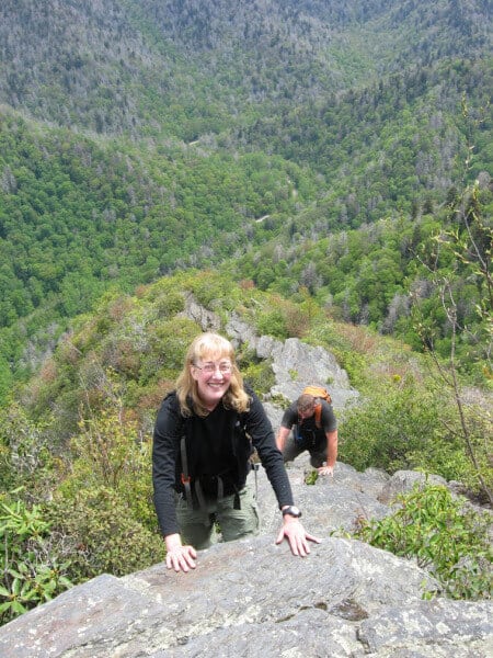
Jenny Bennett doing what she loved best
For a couple of years, I have yearned to see the “shimmering pool” she speaks of in this post. I had hoped for a sunny day to hike it, much like the day she traversed this same loop, to watch the sunlight dance on the water’s surface.
I arrive at Cosby Campground and start my trek on the Low Gap Trail. Low Gap climbs steadily and on rocky and root leaden trail for the first 2.9 miles of my hike. Luckily, spring wildflowers are in full bloom as I ascend, providing me with many breaks to stop and capture their beauty in pixels.
(double click on any photo to see larger images and captions)
- Star Chickweed. Mountain folklore says that an open chickweed flower guarantees a few hours without rain, which was indeed the case on this cloudy day.
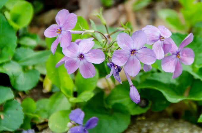
- Beaked Violet
- Beaked Violet
- Unfurling fiddleheads
- Smooth Yellow Violet
- Blue Phlox
- White Trillium
- Bishop’s Cap
- Wild Geranium
Upon reaching Low Gap, where the Appalachian Trail bisects my path, I discover a thru hiker who is one of only three hikers I will see the entire day. I descend down the other side of Low Gap (Low Gap II trail) into Walnut Bottoms. I expect to smell campfires burning and the chatter of campers, as its one of the busier and larger backcountry sites in the park. Instead, I am greeted only by the call of a Pileated Woodpecker in the distance and the rushing waters of Big Creek.
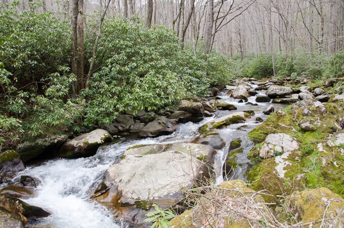
The incomparable beauty of Big Creek
Attached to the campsite sign is a notice that sites 36 and 37 are closed due to “aggressive bear activity.” I reach for the left pocket of my backpack, making sure I did in fact remember my bear spray. I scan the area from where I stand, slightly anxious that I may soon encounter a Black Bear with a culinary agenda and an affinity for a spicy tuna packet with a side of salt and vinegar chips (my lunch).
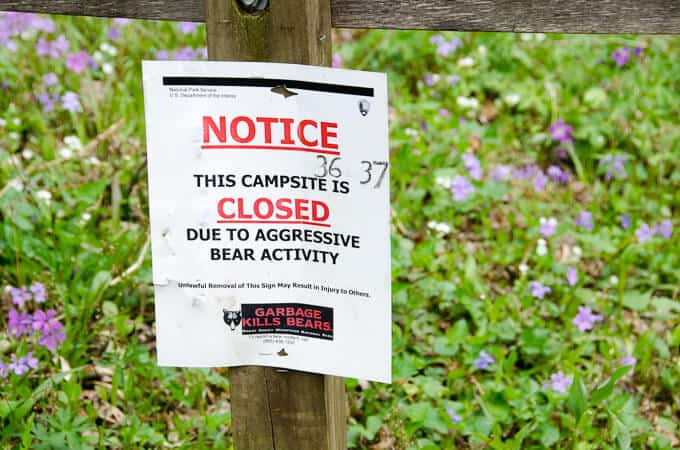
Ruh roh
I move along gently, the waters of Big Creek and the mass profusion of Fringed Phacelia on either side of the trail soon replacing my anxiety with awe, despite the two piles of relatively fresh bear scat I find.
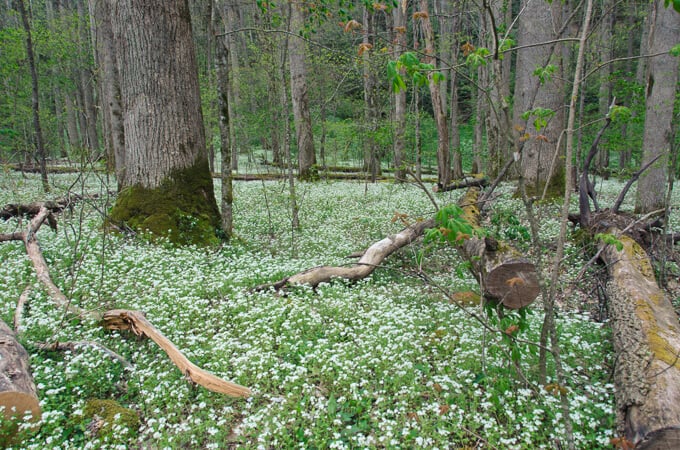
I felt like I was walking through an enchanted forest, it was so beautiful along this stretch
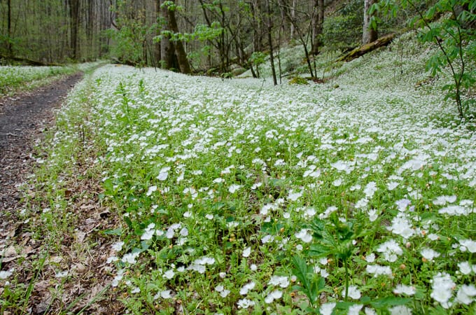
Fringed Phacelia lined the trail–it was like something out of a fairy tale
About a mile past the campground, I reach the area Bennett speaks of in her blog, a rock wall on the edge of the water near a pool of magical water. The day is cloudy, unfortunately, and I can’t fully appreciate the magic she experienced in the pool’s color. I am compelled, however, to sit down on a large boulder jutting into the water near it and enjoy my lunch, while thanking this special soul for her many contributions to the world. I, nor anyone else that loved her, will likely know the complete circumstances surrounding her death, but she certainly doesn’t feel dead to me today. I sense her spirit in everything I see, and I’m grateful for this moment of believing in life beyond death.
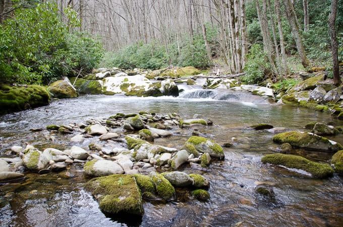
The shimmering pool is just below the small cascade on the right side of the stream
I finally tear myself away from this sacred spot and continue my climb back up to the Appalachian Trail. My legs feel stronger after the break and I pick up my pace. While I am crossing a small tributary running across the trail, I step on a small but unstable rock and find myself immediately sitting in the water, flabbergasted that such a slight misstep could cause me to fall so quickly and hard! I have no choice but to laugh at myself, thankful that I’m not hurt and that no one witnessed the spectacle.
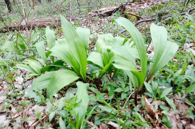
Onward I climb, passing more flowers and a hillside of ramps (wild leeks). If I wasn’t in the Park, I would forage a small amount, giving my kids and Larry a taste of the mountains in their dinner tonight. Near the ridgeline, I am kept company by the incessant singing of a Red-Eyed Vireo high in the tree canopy, who has likely recently returned from his winter migration south, blind to my eyes but not to my ears.
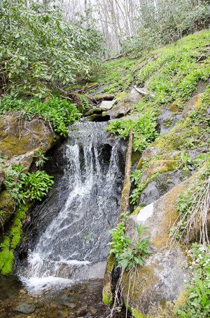
- Water abounds in the Smokies
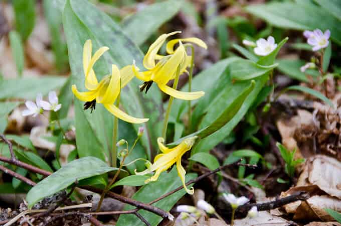
- One of my favorites, Trout Lily
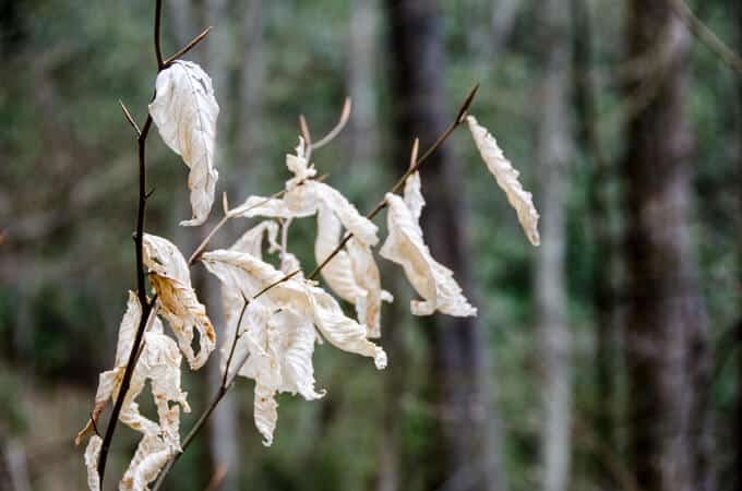
- Whispy American Beech leaves, hanging on ’til their replacement arrives
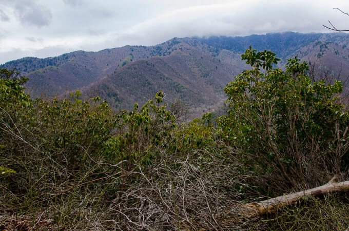
- As the day wore on, the sky become more moody.
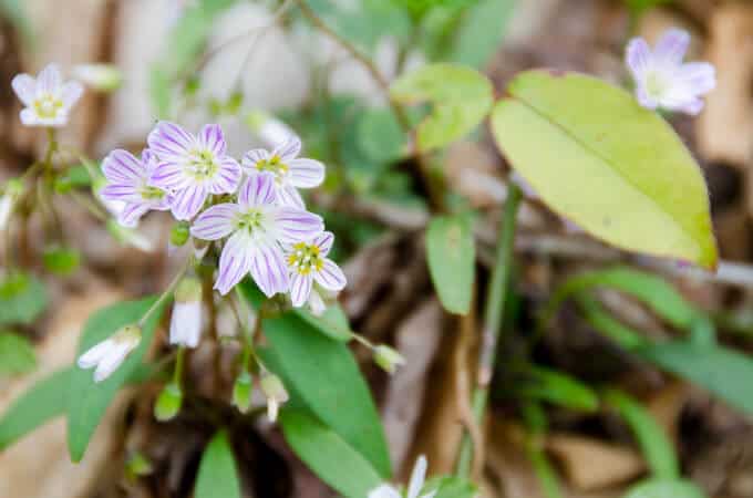
- Spring Beauty
- Ramps galore alongside the trail
When I reach the Camel Gap Trail’s end, I head north on the A.T., marveling at the fact that I could continue walking this same path to a mountain in Maine. I encounter two more thru hikers who are having a snack of cheap, gas station variety honey buns on the side of the trail. I regret not bringing some of the sugar cookies I made that say “Katahdin or Bust,” to give to them as trail magic.
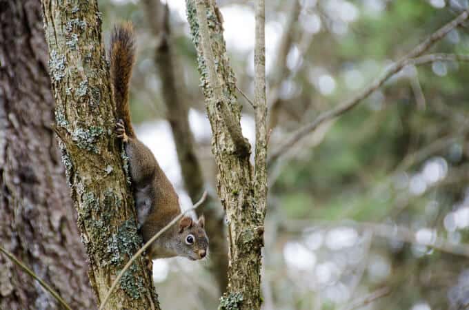
This little Red Squirrel barely let me take his picture before he scurried off!
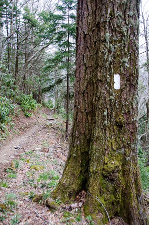
Follow the Blazes to Katahdin
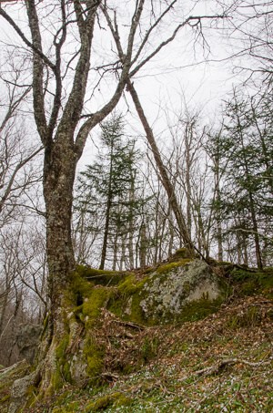
Nature will find its way around every obstacle
Two and a half miles later, I reach Low Gap again and head back down my initial path towards Cosby Campground. I’m amazed that I haven’t met a single soul on these trails, aside from the A.T. which is nothing short of a human highway this time of year. I am thankful for the solace and for a perfect day spent in the woods with the memory of a modern legend in the Smokies.
TRAIL REPORT CARD AND GPX TRACK
Overall Grade: A.
Mileage: My GPX track indicates a lower mileage than I hiked, because it stopped working for 0.8 mile. So my overall mileage was actually 15.2 miles.
Ascent: 3952 feet. Descent: 3850 feet.
Type of Hike: Lollipop loop
Suitability for Kids: For older and fit children, this trail would be challenging but possible; however, most kids probably wouldn’t enjoy it as much as some of the other trails since there aren’t any especially compelling “kid friendly” features like waterfalls, swimming holes, etc.
Dog Friendly: No. Dogs aren’t allowed on trails in Great Smoky Mountains National Park with the exception of the Gatlinburg Trail and the Oconaluftee Visitor Trail.
How to Get Here: This loop originates from Cosby Campground on the Tennessee side of the Park.
Resources for Hike:
The National Geographic Map of GSMNP is always in my pack when I hike in the Smokies. It should be in yours too, as well as the 10 essential systems.
Far and away, my favorite hiking book for the Smokies is this one, and it’s affectionaly referred to as “The Little Brown Bible” by the hiking community.
[content-upgrade id=”3614″]
[contact-form][contact-field label=”Name” type=”name” required=”true” /][contact-field label=”Email” type=”email” required=”true” /][contact-field label=”Website” type=”url” /][contact-field label=”Message” type=”textarea” /][/contact-form]
