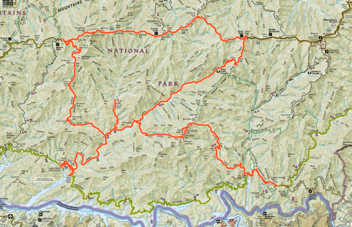
For the 6 months leading up to this hike, I became very intentional about finishing “my map” of Great Smoky Mountains National Park. If you aren’t familiar with what that means, it simply refers to hiking every single mile of open trail in the park.
At the time of this hike, there were 803 miles of trail to hike to consider yourself a finisher of the “Smokies 900-miler” club. It’s referred to as 900 miles because there used to be that many miles of trails, but that number has dwindled over the years as trails have become decommissioned.
Day 1: 22.6 miles; (+5540 ft./-2230 ft.)
Lakeshore, Ollie Cove, Hazel Creek, Jenkins Ridge and Appalachian Trail
For this beast of a hike, I decide to sign up for a GSHAG MeetUp Hike. The route for the group will take them in a different direction for most of the trip, but we’ll camp together on the second night and share a boat shuttle ride at the onset.
We take the boat shuttle from Fontana to our starting point at Proctor. The lake is calm and the ride is easy. If only the rest of the hike could be this effortless!
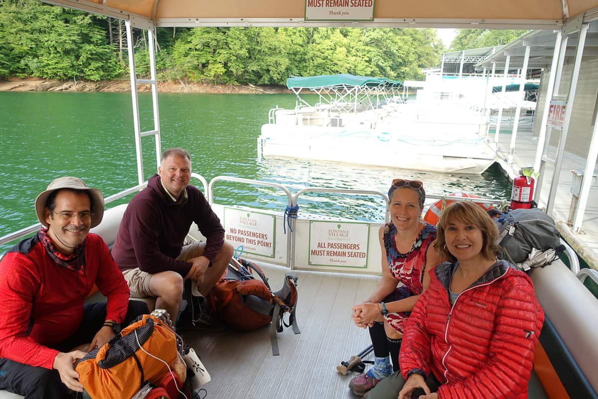
Off we go across the lake!
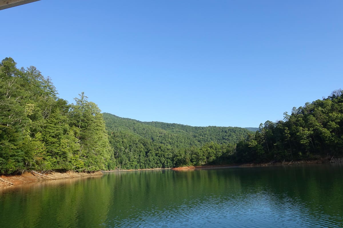
Such a beautiful day to start my last hike!
I need to grab Ollie Cove Trail before I start my long climb up Jenkins Ridge, as do a few other folks in the group. So we make the out-and-back jaunt to it. As we climb, I curse myself internally for not grabbing this easy snippet when I passed by it in March while I was hiking the Benton MacKaye Trail through the park!
After we return to Proctor, I part ways with the group and head up Hazel Creek while they march on in the opposite direction to make the long, wet slog up Eagle Creek. I can’t decide who will suffer more–them with a bazillion water crossings or me with Jenkins Ridge Trail. Guess I’ll find out soon enough!
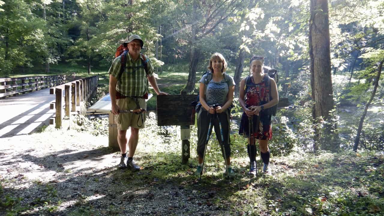
This is where we part ways and I wish my friends were continuing with me! Brian thru hiked the A.T. years ago, so this guy knows hiking!
The 4.5 mile stretch of Hazel Creek opens up before me and is easy to traverse. I’m able to make great time and it calms my nerves down about Jenkins Ridge. If there is one trail I’ve heard horror stories about from other hikers, it’s this one (second only to Cold Springs Gap which I’ll hike on the 3rd day of this trip). I know it will be very steep in places, but I’m thankful to learn that the NPS recently came through and cut back a large part of the overgrowth near its junction with the A.T. Maybe it won’t be so bad after all!
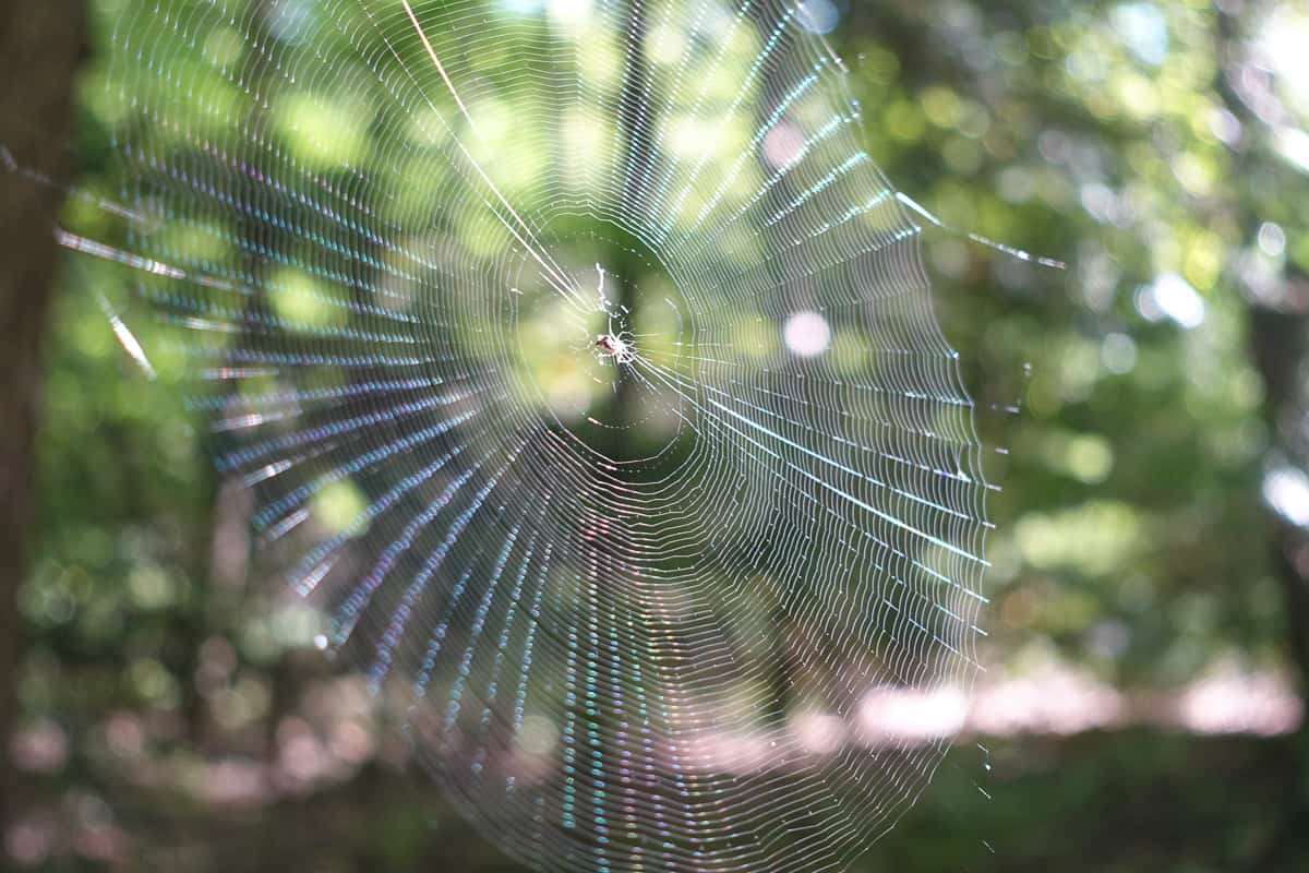
When I reach Jenkins Ridge Trail, I take a deep breath and remind myself out loud, “It has to end eventually. No trail goes on forever.” The first few miles are manageable with elevation gain, albeit very rocky.
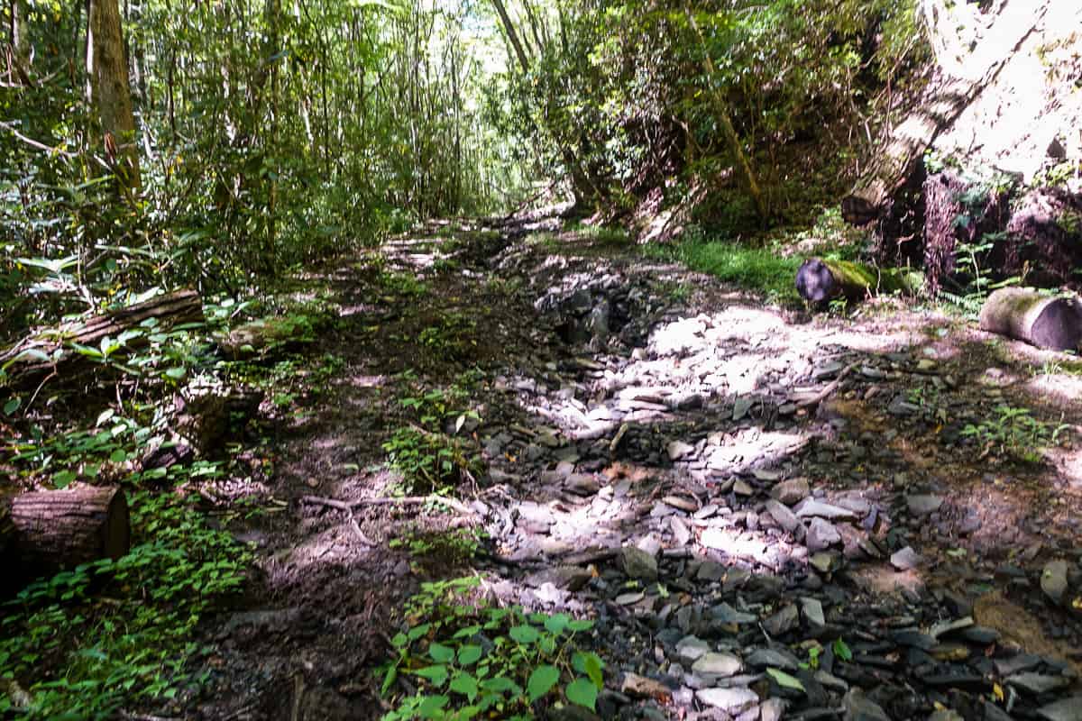
Definitely a rocky start to Jenkins Ridge Trail
I hit the junction where the trail turns off the old road bed and into a steep, more narrow trail. Whew, it definitely climbs steeply and I start getting in my own head quickly. What if it’s like this for the next 6 miles? A quick glance at the elevation profile reminds me that it does get easier soon, and my experience matches that profile. Soon enough, it lets up and I’m able to take deeper breaths as I climb.
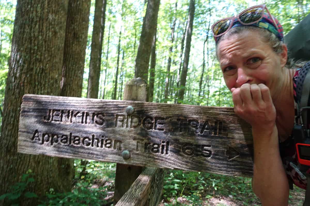
It’s always helpful to act silly when you’re intimidated by a trail. 😉
There are a couple of spots along Jenkins Ridge that are in fact very steep; however, in my opinion, it proves to be more hype than pain. The steep stretches are challenging, to be sure, but the more difficult aspect of this trail for me is the uneven footing towards the top. The trail is eroded in many places. The brambles, however, are not nearly the concern they have been for many a hiker before me, thanks to the amazing work of the folks who cut them back this year. Thank you National Park Service!
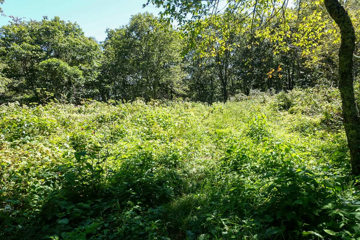
There is still one very overgrown section of Jenkins Ridge though-you can barely see where I just came through it!
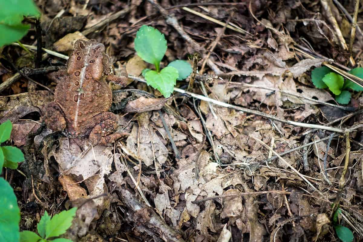
I love making new friends on the trail.
When I reach the end of Jenkins Ridge, I take a quick photo at the sign to commemorate my survival! I make a quick out-and-back jaunt along a short snippet of the A.T. towards Spence Field, to not leave any trail unhiked, and I then start heading north on the A.T. towards my humble abode of Derrick Knob Shelter.
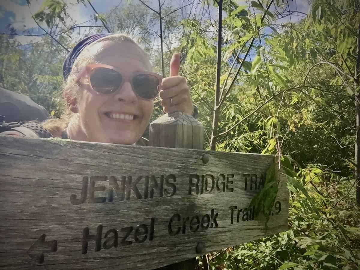
Little ol’ Jenkins Ridge didn’t get the best of me after all!
“The worst is behind you,” I say to myself as I begin this 6-mile stretch of trail. Except that it’s not. Honestly, this part of the hike is more difficult to me than Jenkins Ridge. Perhaps it’s because I’m hiking it on fatigued legs, but even with fresh ones I think I’d say the same. Rocky Top is certainly a nice distraction as I climb, but beyond that, it becomes a suffer fest. The ascent up Brier Knob is especially challenging as its steep and rocky (and seemingly never ending).
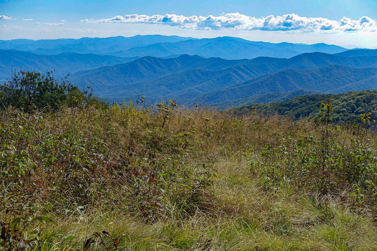
At least the views around Rocky Top are a good distraction!
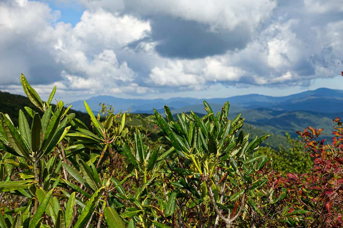
I encounter two backpackers from the other direction, who are clearly hurting and ready to be finished. They are trying to make it to Spence Field Shelter for the night, but they’re doubtful they can get there before dark. I tell them about a turnoff for a water source I saw shortly before meeting them, but I don’t make much more small talk, as I’m trying to beat the dark myself by this point.
In the final 2-mile stretch towards Derrick Knob Shelter, I start wondering who will be at the shelter with me. It’s always a gamble, whether or not you’ll jive with your shelter mates and how rowdy they may or may not be. Since this shelter isn’t easily accessed from any road, I’m hopeful that only serious backpackers will be using it with me.
As I approach the shelter I hear folks talking and laughing. When I round the side of the shelter to see their faces, I am greeted by 8 people who are engaged in various camp chores: Cooking their dinner, tending to the campfire, and setting up sleep systems. They are all immediately warm and welcoming, and I have no doubt I am in the company of my kind of people!
My hunch about my campmates becomes more and more apparent as the night wears on. There are 3 different groups amongst these 8 people, but by the end of the evening, I feel like we have all known each other for years.
Tasha, one of the women, even goes above and beyond the call of kindness when she turns my stinky, wet dress over on a log to let the campfire’s heat dry the other side! Her husband reminds me so much of my brother and I truly feel like I’m in the company of my own tribe. It’s such a fabulous way to end the day and to incorporate into my final miles of the Smokies!
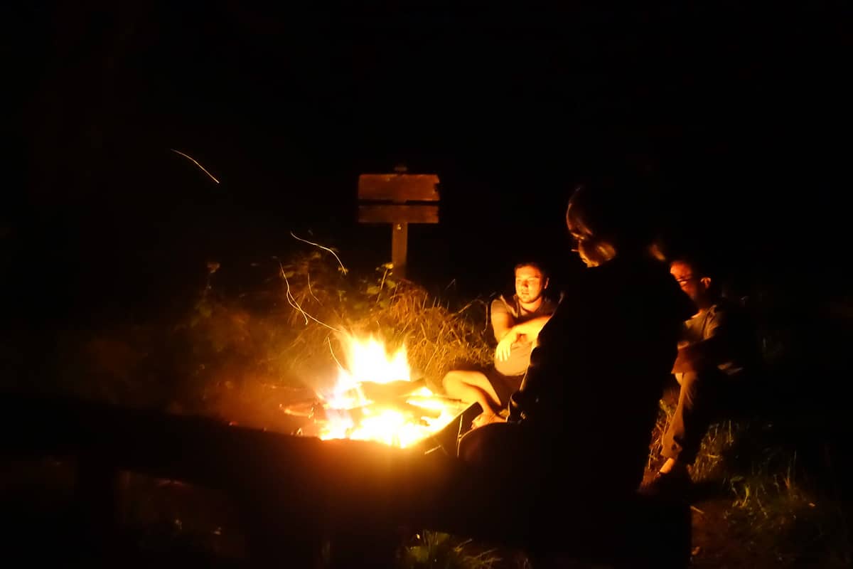
So much fun talking to my campmates around the fire!
Day 2: 23.4 miles (+1479 ft/-4504 ft)
A.T., Welch Ridge, Hazel Creek, Bone Valley
I wake up and am sad to leave my new friends, but I have many miles to go before reaching my next campsite, so I reluctantly forge ahead. The A.T. still presents a more formidable climb than I expected. I was so worked up about Jenkins Ridge that I neglected to really pay attention to the rest of the route, but maybe it’s better that I didn’t know ahead of time?
I reach the junction with Welch Ridge and head down it towards Hazel Creek. It’s overgrown in places and I receive multiple trail kisses on my legs from brambles I walk between. Before long, I meet the junction with Hazel Creek Trail and begin my long descent to campsite 83.
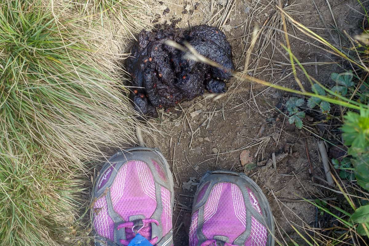
Definitely didn’t want to cross paths with the bear who left this surprise on the trail!
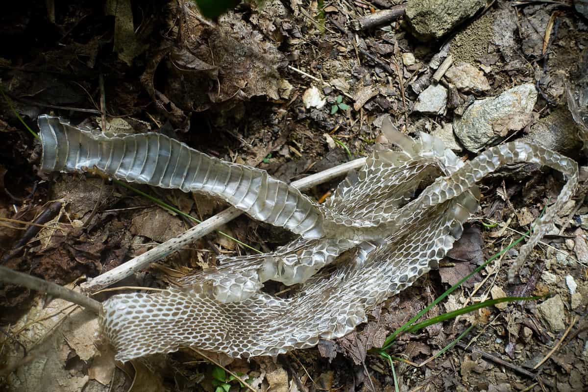
Another cool find on Hazel Creek Trail
I’ve heard so much about Hazel Creek Trail and how it is many a hiker’s favorite trail in the park, so I’m looking forward to it. The first few miles are more challenging than I anticipated as stinging nettle lines and overlaps the trail in many places. I’m certain I scare any nearby bears away with my constant yelps of, “Ouch!” and “Damn it, that hurts!
I pass a couple heading uphill and hope they don’t hear my incessant whining! They tell me there’s a great spot for lunch shortly ahead, right beside Hazel Creek. I’m not quite sure which spot they’re referring to, because I encounter numerous beautiful spots and I’m happy to take a pack off break, soak my stinging legs in the cool water, and enjoy my lunch.
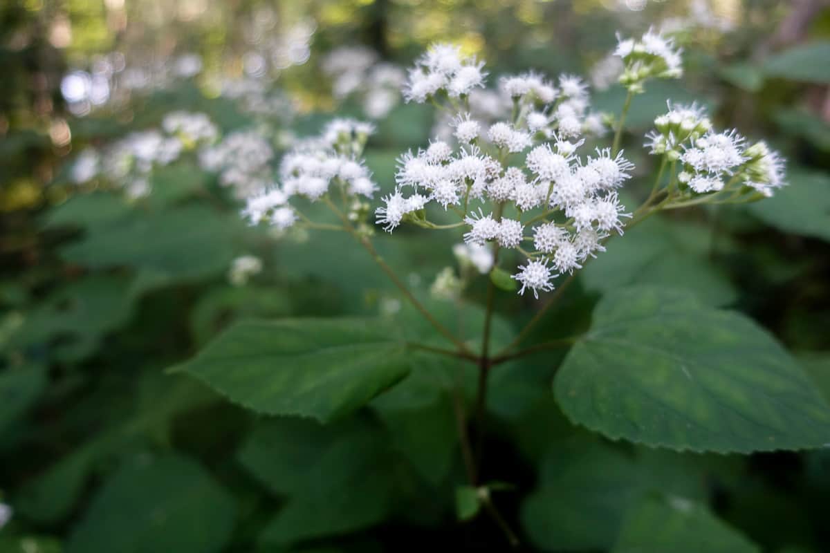
When I’m getting relentlessly stung by stinging nettle, sometimes I second guess snakeroot and wild hydrangea, fearful that they’re going to sting me since they look similar (this is snakeroot).
As I’m hiking the final few miles of Hazel Creek, I reach into my hip belt pocket to retrieve my phone to take a picture. But I find an empty pocket instead. I am almost certain I know where it fell out (because I’m an idiot and forgot to zip the pocket closed the last time I used it)–nearly 2 miles back in a spot where I had to bend and duck to navigate through a tree that had fallen across the trail.
My suspicion is confirmed at that very spot, and I’m thankful that it’s not further than this point. Four extra miles tacked onto an already long day is not making me a happy camper!
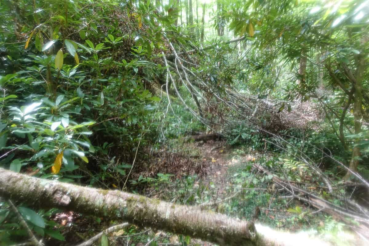
The trees I had to navigate under and around where my phone fell out of my pocket (my camera lens was smudged, hence the blurry photo)!
I carry on and eventually arrive at campsite 83. I need to grab the 0.8 mile segment of trail between this site and the junction of Jenkins Ridge Trail, so I hastily make the journey before taking off my pack and getting too comfortable.
Upon returning to 83, I realize my MeetUp friends aren’t here yet. They camped along Eagle Creek the night before and are meeting me here for the evening. I still need to hike the Bone Valley Trail, so I make the decision to go ahead and knock it out solo.
I hike a couple of tenths of a mile onto Bone Valley Trail, and in the distance I see a raging yellow jacket’s nest on the trail. They are swarming back and forth across the trail in their frenetic late summer state of mind. I’m so thankful I saw them, because I have no interest in trying to skirt by them without getting stung!
Safety Snippet: Here’s something I wrote specifically on stinging insects and protecting yourself against them. But in general, yellow jackets are ground dwelling hornets and it’s oftentimes difficult to know they are there until you’re right up on them and getting stung by them. The best defense against them that I’ve ever found is to scan the trail ahead of you visually and look for their quick darting flight patterns. If you need to keep hiking ahead, skirt around the nest as far as you can without compromising your safety in other ways. And if you end up walking across one and start getting stung, the best thing to do is run ahead as safely and as quickly as you can, to remove yourself from the vicinity of the nest they’re protecting.
I head back to camp and set up, hoping I can talk my friends into hiking Bone Valley with me after night falls and the yellow jackets are less active. They eventually arrive and are beat from their trip down Jenkins Ridge. I laugh and commiserate with them, but I’m still convinced the stretch of A.T. to Derrick’s Knob Shelter is more difficult!
We all enjoy our dinner together and I enjoy getting to know several new-to-me hikers who are on this trip. Florence, the sole female in their group, is already a friend of mine and she’s one of my favorite people to hike with in GSHAG. She is candid, witty, and intelligent. Fernando, Brian, and Bill are all friendly, fun, and easy to be around. I’m thankful that my second night in the woods is just as enjoyable as the first, because of the company I’m fortunate enough to keep.
I talk the three guys into joining me for a night hike up Bone Valley. Florence is allergic to bees, so she opts to stay behind. The four of us set out just after night falls. We meet a young guy hiking out of the valley in the opposite direction, and he tells us that he was stung once by the bees on his way in when we question him. He doesn’t have a typical hiker look and he’s acting a little odd. Quite frankly, he acts like he’s under the influence of something (drugs or alcohol) and I’m thankful I’m not hiking this stretch by myself now.
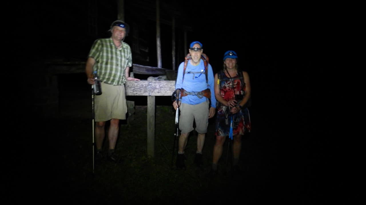
I am, however, thankful to be hiking with these guys because they’re so much fun to be around!
The yellow jackets have gone to sleep, so we pass by safely. The hike to the Hall cabin is uneventful and actually a lot of fun since I really enjoy night hiking and we have to cross several creeks in the process. The cabin has an eery quality to it at night, and we’ve all heard about an abundance of venomous snakes in this area, so we watch where we step in the lawn.
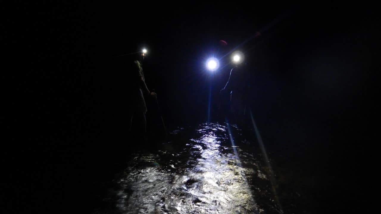
The creek crossings were low enough to safely cross them at night.
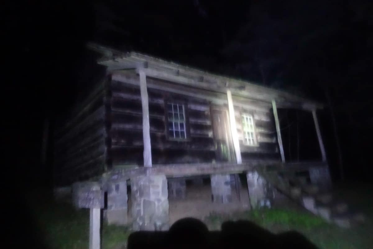
The Hall cabin looks pretty spooky at night!
When we get back to camp, everyone heads to bed quickly since it’s getting late. Shortly after we left, Florence heard someone milling around in camp and called out to them, but she didn’t hear a reply. While there are a couple of other campers in this large campsite, we’re all spread out pretty far from each other. Hmmm…
Day 3: 15.7 miles (+3,424 ft/-3,517 ft)
Cold Springs Gap, Bear Creek, Lakeshore Trails
The day begins with Fernando asking if anyone has seen his stuff sack that he knows was in his hammock the evening before. None of us have seen it, and a thorough search amongst all our own gear doesn’t reveal it either.
We start speculating that the guy we encountered on Bone Valley Trail may have helped himself to it, since he knew we were camped here and had left most of our gear unattended to hike to the cabin. Coupled with the fact that Florence heard someone in camp after we left, and they didn’t answer when she called out to them, makes us even more suspicious. Fernando has the sweetest spirit and I’m furious that someone may have stolen his gear. Things like this are so uncommon in the backcountry, but it’s a good reminder that not everyone who visits these woods is a good and honest person.
Despite Fernando’s loss, he is still kind enough to have everyone form a “hiker tunnel” for me to walk under before I head out. I’m so touched by this gesture, and I reluctantly head out of camp, sad once again to be leaving the company of such great people. The silver lining is that I’m finishing my map soon, and I’ll hike out of the famous tunnel at the end of the Road to Nowhere, to my waiting husband and daughter.
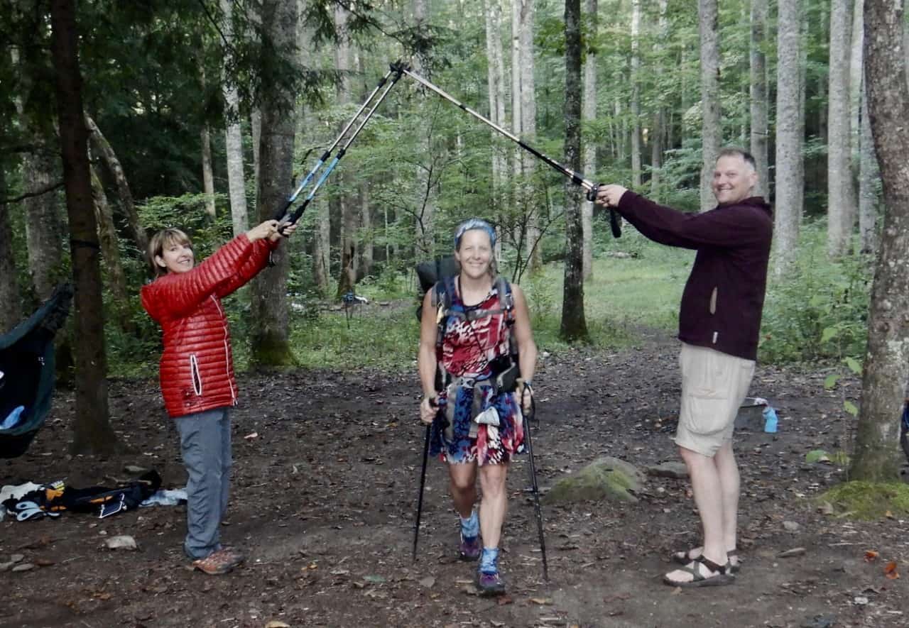
My hiker tunnel!
I make the arduous trek up Cold Springs Gap, and I find myself looking over my shoulder as I hike to make sure I’m alone (the odd guy and the possible theft has me a bit on edge as a female solo hiker, something I rarely feel, if ever, on trails in the Smokies). If someone is going to stalk a hiker though, Cold Springs Gap is probably not where they would head. It’s a beast of a climb.
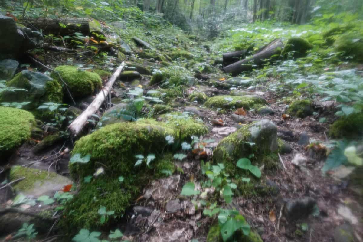
Cold Springs Gap is gnarly and not much fun to climb (and the lens of my camera was smudged still).
As I’m climbing, I hear a huge sound up in the trees, just to the left of the trail. I look up as two enormous oak branches are falling to the ground. This occurs just feet from the side of the trail, parallel to where I’m standing. As soon as I realize what’s happening, I bolt ahead to get out of the way of other branches that may follow suit.
I’m rattled from this incident and find myself crying, which is something I’ve never done from fear while I’m hiking. The thin line between life and death is always more apparent in the backcountry, even when you’re prepared for much of what Mother Nature can throw at you (literally and figuratively). The branches also bring to mind an incident that happened in the park over the winter.
A family was visiting from Texas, and the mother and one of the sons of this family were both struck by a tree that fell on them as they were hiking the Porter’s Creek Trail. The mother, a respected pediatrician, was killed and her son was airlifted to Knoxville because of his extensive injuries. These stories stay with me long after they occur, and my heart hurts in this moment for her family.
Safety Snippet: There’s not much you can do to avoid being in the path of a tree or limb that decides to give up its fight with gravity as you hike beneath it. That being said, it’s always wise to be aware of your surroundings. Hiking with ear buds is discouraged, especially since it lessens your ability to hear things around you, like falling hazards. If you do hike with them though, I strongly encourage only using one. And in any campsite, you should scan above you before setting up your tent or hammock, to look for limbs and/or trees (i.e. widow makers) that look like they could fall on you.
As soon as my legs don’t feel like jelly from the adrenaline rush, I start my climb again, trying to shake the scare and focus on the milestone ahead: The fact that I will soon touch the trail sign at the junction of Cold Springs Gap and High Rocks to complete a 25-year journey of hiking in the Smokies.
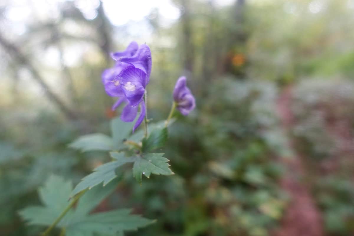
My camera lens was still smudged but I kinda liked this shot it captured.
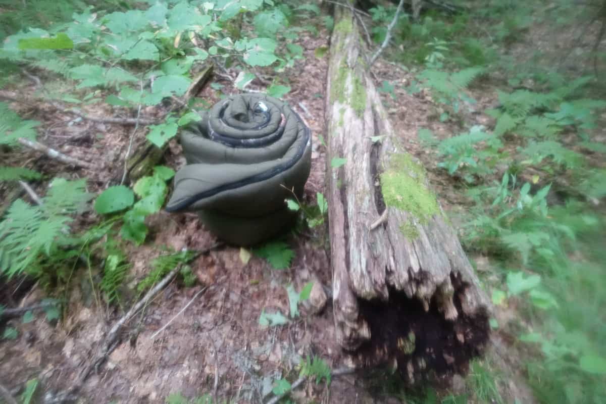
If you’re in need of a sleeping bag, here’s one you can go carry off of Cold Springs Gap Trail (seriously though, please don’t do this kind of stuff–pack it in, pack it out, no matter how tired you are!)
The trail is incredibly overgrown and I wade through it on uneven and eroded trail to my destination. So many emotions are swirling through my heart and head in the last mile, and I find myself once again crying, but this time with tears of remembrance and gratitude for all the memories I’ve made in this park.
I reach the sign and kiss it, saying a silent prayer of thanks to whoever listens to such things. I then make the short climb up to High Rocks for a quick break. I had plans to sit and reflect for awhile at this spot, but I’m too excited to finish the hike and see my family. I do, however, take a moment to enjoy my favorite hiking treat to celebrate the milestone–a Krispy Kreme fruit pie!
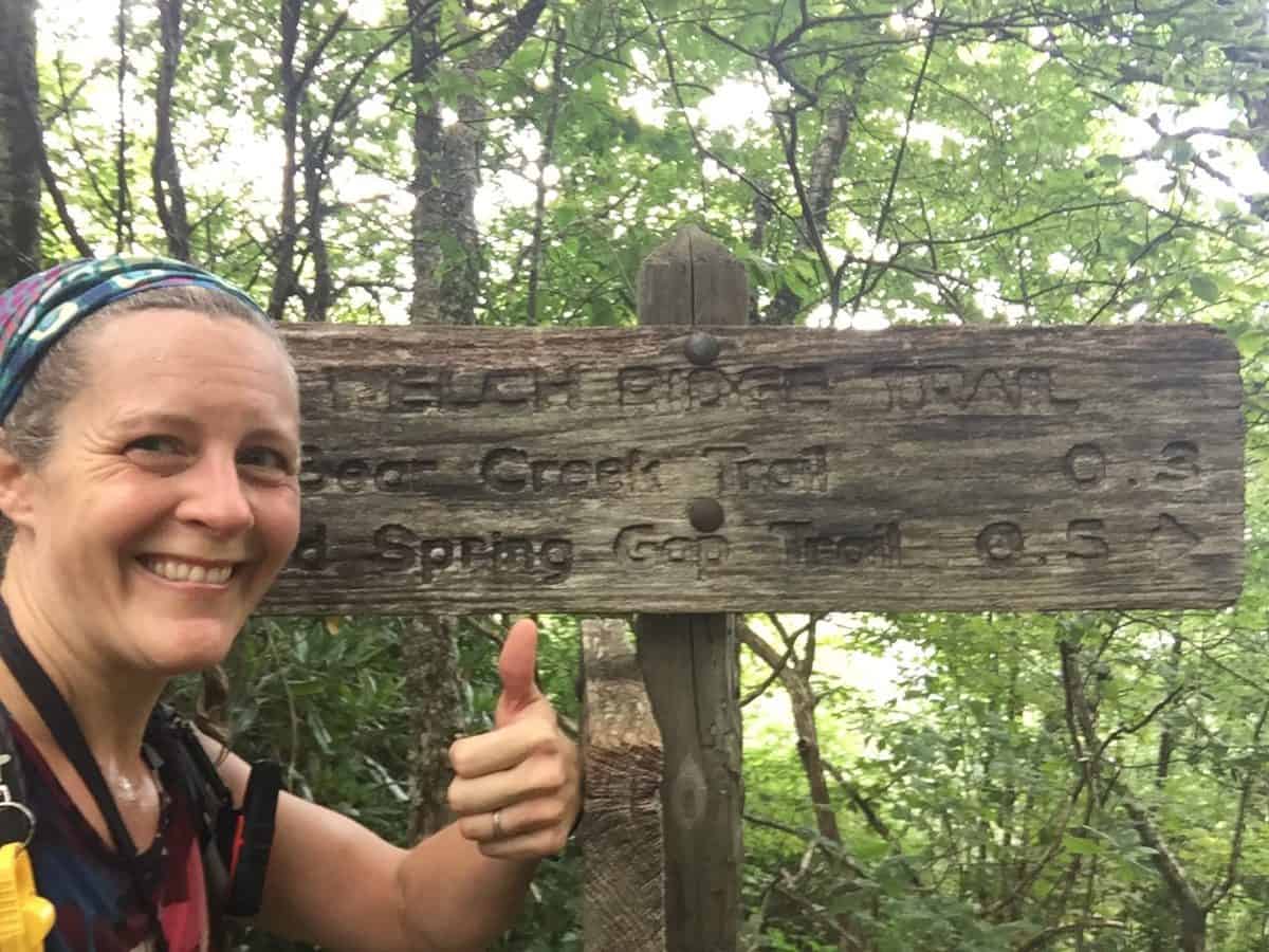
I did it!
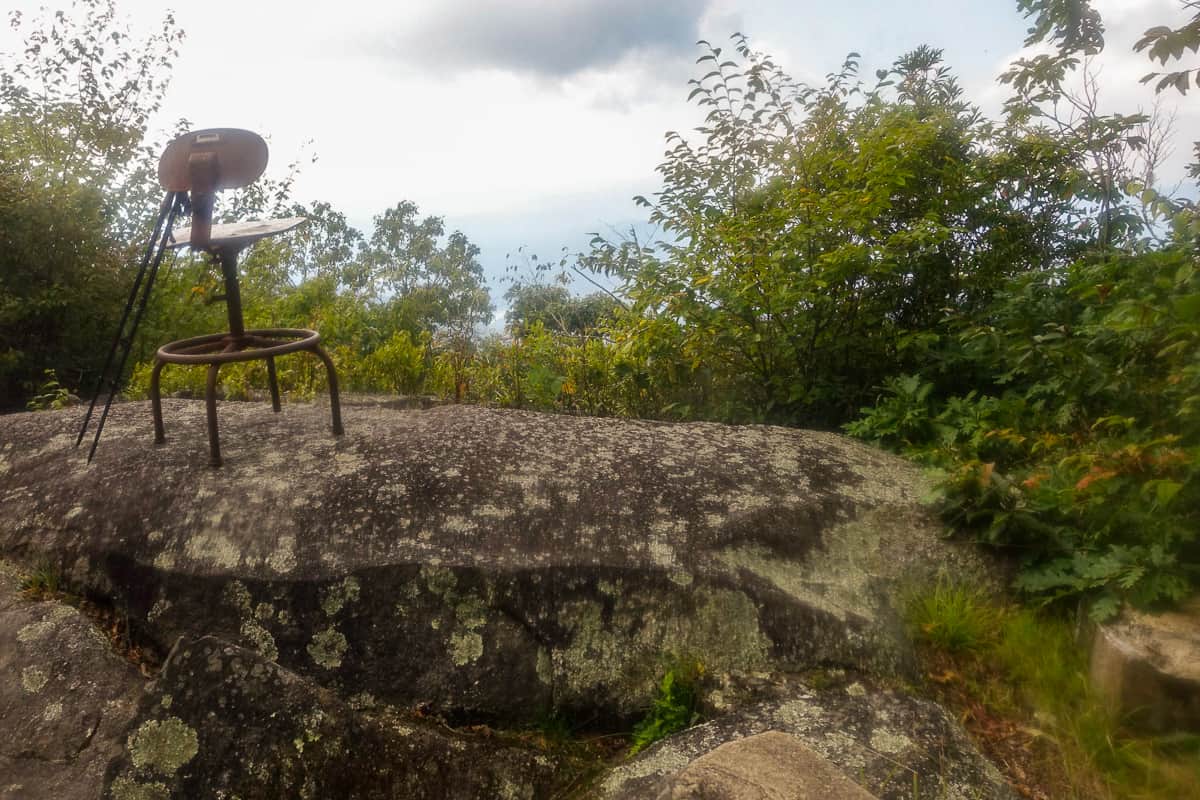
The famous chair at High Rocks
The rest of my hike is uneventful (thankfully!), and after I hit the Lakeshore Trail I see a sight at the top of a hill that brings a huge smile to my face: My daughter and husband. They’ve hiked in to meet me and they’ve brought Oreos with them! We stop for a quick snack break and then make the final walk through the tunnel. Of course, these are new miles for me since my map officially ended at the High Rocks junction. But what a way to start my second one, with two of the people I love most in the world walking beside me!
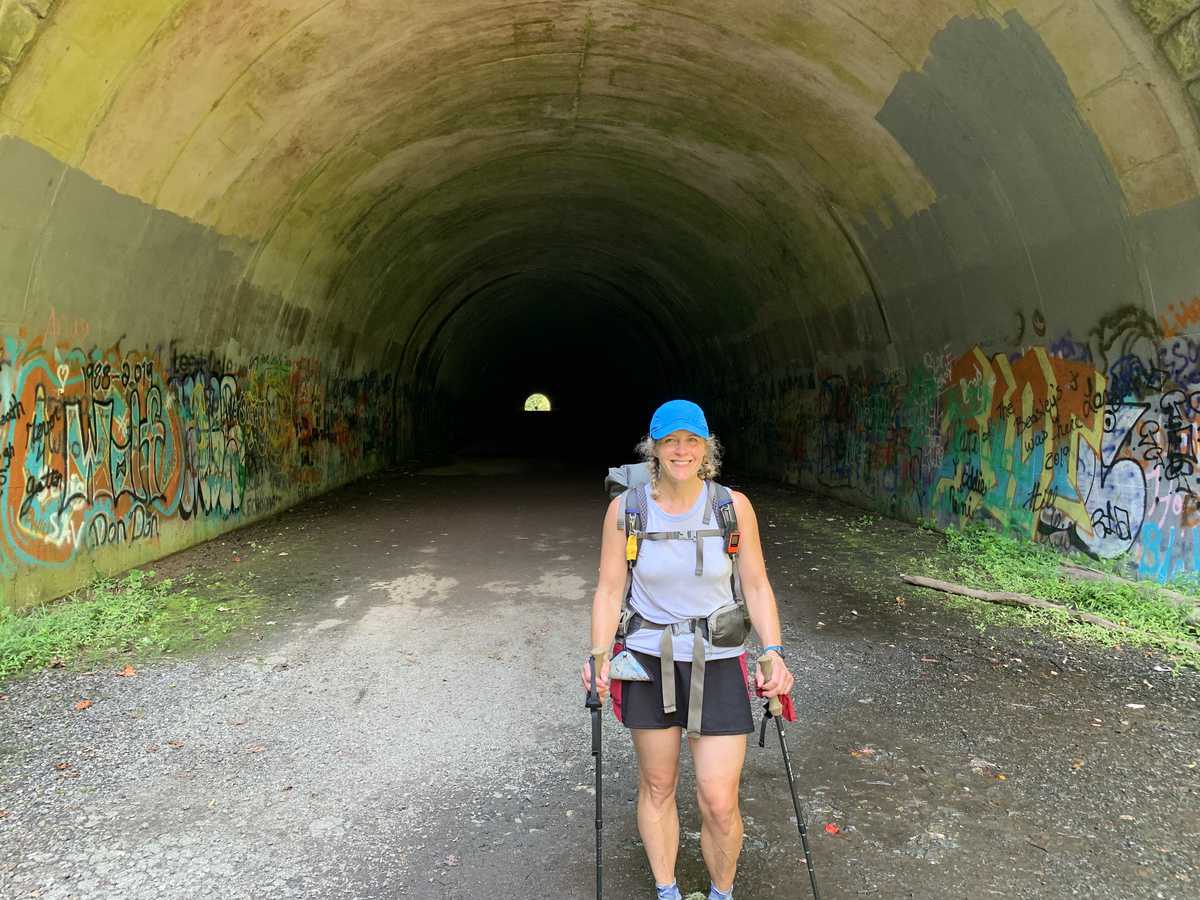
It was so much fun ending this hike at the tunnel (and I changed clothes before meeting my family so I wasn’t wearing 3-day old smelly ones when I hugged them)!
We reach the car and I find a cold sparkling water waiting for me as well as balloons and flowers they’ve brought me. I’m so thankful for this moment and all the ones leading up to it.
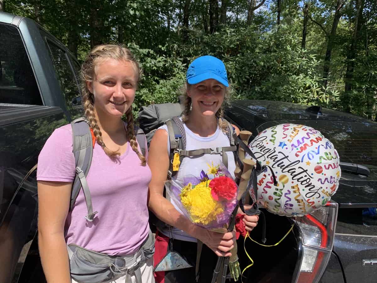
Me and my sweet girl (who is always kind enough to give me “good luck braids” before my multi-day hikes) 🙂
We head into Bryson City for a beer and some “real food,” and then make the journey back to Fontana to pick up my waiting car. I hoped to encounter my friends who took the boat shuttle back to their cars earlier in the day, but they’ve since come and gone.
I jump in my car and drive back to Waynesville, my heart absolutely full of love and gratitude for Great Smoky Mountains National Park and the treasure trove of memories I’ve collected while marking my map.
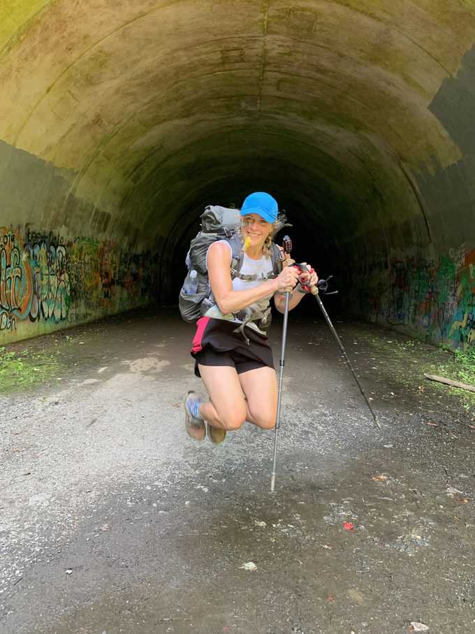
Woo hoo–done!
TRAIL REPORT CARD and GPX TRACK
Mileage: 61.7 miles total throughout the 3 days.
Type of Hike: All over the place kinda loop!
Potential Hazards: Nothing on this hike presented a consistently repeatable hazard. The falling branches, yellow jackets, and possible theft are unlikely to happen to you if you hike it (but there are inherent risks in the backcountry that you should always be prepared to mitigate, obviously).
Suitability for Kids: This isn’t a route I think most kinds would enjoy.
Dog Friendly: No. Dogs aren’t allowed on trails in Great Smoky Mountains National Park with the exception of the Gatlinburg Trail and the Oconaluftee Visitor Trail.
Permits: No permits are needed to hike the trails in Great Smoky Mountains National Park, but they are required for camping in the backcountry. Reservation information for backcountry website the park’s website.
National Geographic Trails Illustrated Map of Great Smoky Mountains National Park
I carry the 10 essentials in my pack at all times and you should too! If you’d like to know what gear I use and recommend, here’s my gear list. I also invite you to join my Facebook Group, where I not only post the best deals on quality gear that I can find, but I also provide education on backcountry safety topics via Facebook Live events. It’s a fabulous group of people and I like to think of it as one of the nicest Facebook groups out there. 🙂
My Gaia Tracks from This Hike
If you are interested in using Gaia, you can get a 20-50% discount off a Gaia subscription (and I highly recommend it). I use it for both SAR and personal use exclusively.
GPS Data for Day 2 here and here.
GPS Data for Day 3 here.
[content-upgrade id=”3163″]

Belated congratulations on completing your map! I enjoyed this write up.
Belated thanks for your sweet comment, Bob! I don’t always see comments on my blog posts unless I go look for them, and I happened to notice this one today when I was updating something in the post. Take good care and hope you’re doing well! 🙂