
After returning from a long weekend of solo hiking, I was suffering from a bit of wilderness withdrawal. What’s a mom to do except hit the trail again, even if the meditative walking is replaced by the cacophony of five children between the ages of 10 and 14!
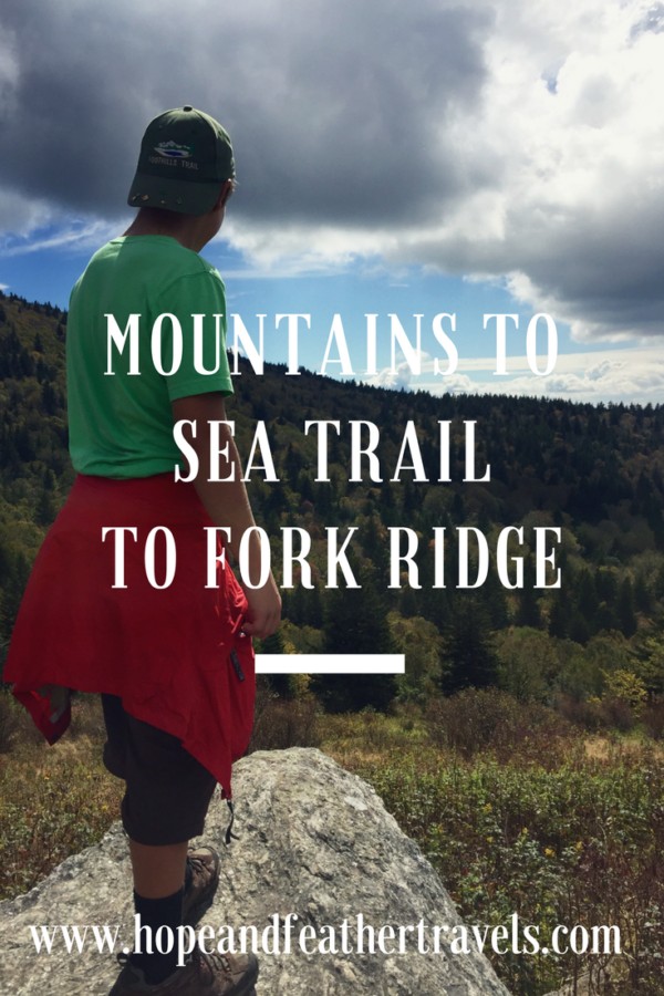
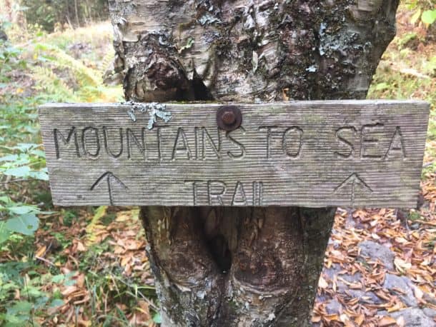
We hit the Mountains to Sea Trail heading west off of Hwy. 215, just before 215 bisects the Blue Ridge Parkway. The Mountains to Sea Trail (MST) is a 1175-mile trail that runs from Clingman’s Dome (which is the highest point in Tennessee, and on the Appalachian Trail, to Jockey’s Ridge State Park on the coast of North Carolina). The spruce-fir forest is worth seeing alone, since they are one of the more uncommon forest types we see here in western North Carolina. Great Smoky Mountains National Park is home to the largest swath of this type of forest, so having a pocket a little closer to home is like finding a treasure.
As little as 18,000 years ago, during the last Ice Age, spruce-fir forests covered much of the southeastern United States, but they are limited to the highest elevations and threatened by invasive species such as the Balsam and Hemlock Woolly Adelgids. All the more reason to get out there on a hike and witness these beautiful giants. For a great teaching moment with your kids, talk about invasive species, what measures are being taken to control them, and if its worth it. Outside Online has a great podcast discussing biocontrol right now, and I think it would have been fascinating to listen to it on the way to the hike and then discuss it with them as we walked (we listened to it after the hike).
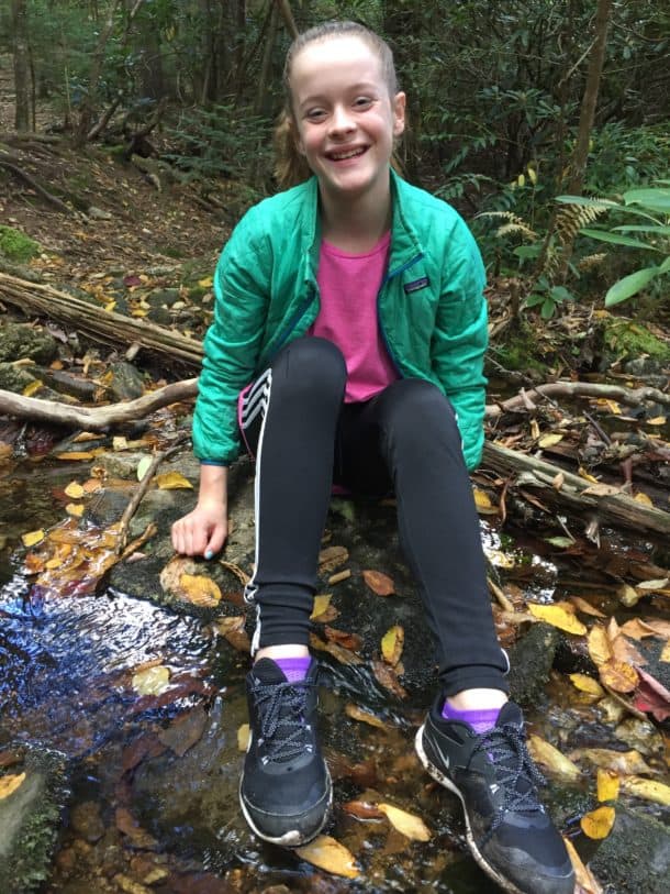
The hike stays above 5000 feet, soon traversing through an open meadow which, at this time of year, was a bit overgrown but passable and the trail easy to stay on. At the 1-mile mark, the trail becomes a bit more wet and boggy and crosses a tributary of Bubbling Spring Branch, the perfect rest stop for kids to hunt for salamanders and crayfish. Both species are bioindicators of stream health, and given how quickly the kids found them, my hope is that this water is in relatively good shape.
-
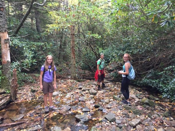
- Happy kids playing in the water
-
- Kaylee is Paige’s best friend and she is joy to take on a hike with her positive attitude!
-
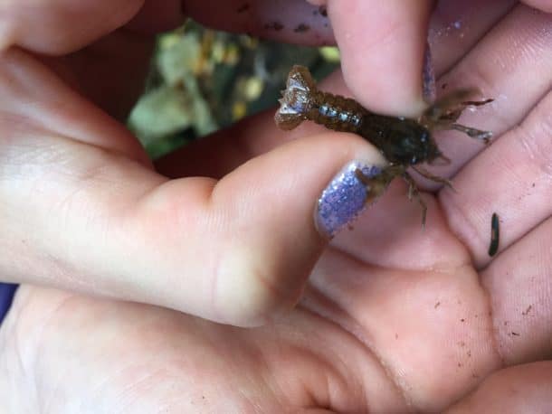
- Tiny crustacean friends
-
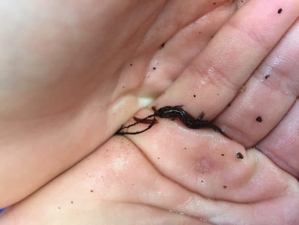
- Paige’s tiny find (it’s better to pick up salamanders with a clean plastic bag, but we did not have any). We put this one back in the water promptly though, as everyone should.
-

- Josie would rather hike than eat, which is saying a lot, because this girl loves to eat!
We hiked on, the trail gently climbing. Mt. Hardy appeared in the distance as did the length of Fork Ridge from the opposite side, the rocky outcropping of Green Mountain readily visible . Usually, a waterfall can be viewed from the trail, but somehow we missed it on both legs of the hike, likely because it doesn’t flow well in dry conditions which we’ve been experiencing lately. If you’re interested in the falls, here’s a link to more information about finding them.
As in any wilderness area, there are strict guidelines regarding trail signage and markings. Middle Prong Wilderness is no exception, and it’s easy to get turned around if you’re not paying attention. Eventually there is a trail junction for a “social trail” (which is essentially a trail not marked on a map, but one worn over time by people hiking through an area) to the top of Mount Hardy. The social trail veers off to the left, while the MST continues to the right through a grove of rhododendron. As of this writing, there is a small piece of blue and white marking tape tied in a rhododendron branch (waypoint and photo marked on my Gaia track below) at this junction. The MST is the more obvious trail here, but it’s still worth paying attention and making sure you stay on track.
-
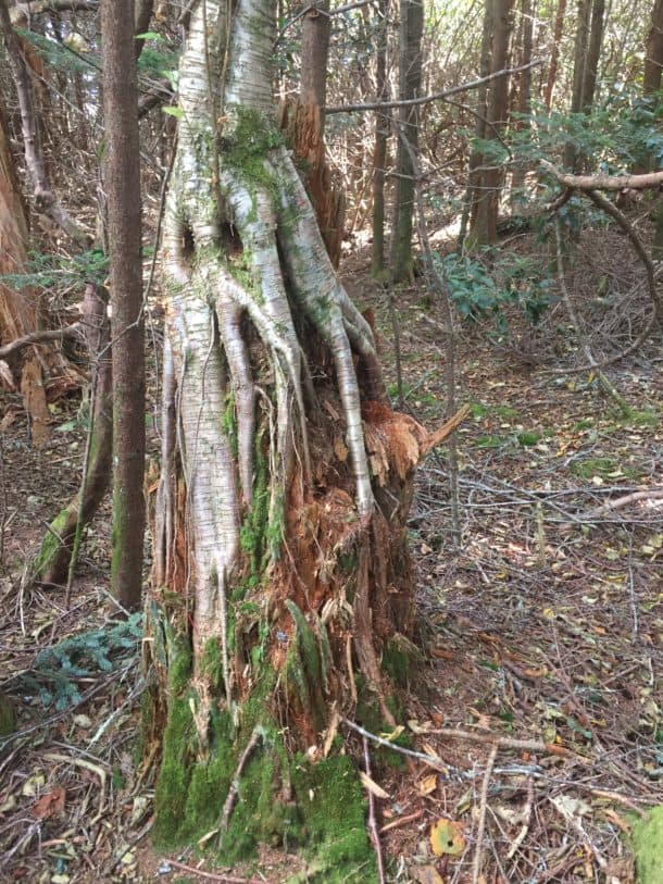
- I loved how this birch was growing from a decaying stump of another tree. The kids thought it looked rather “ghoulish!”
-
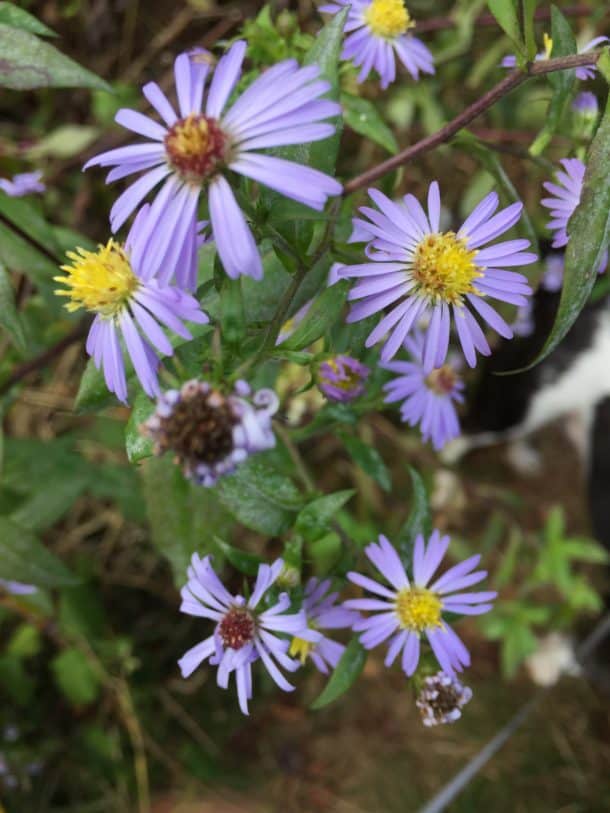
- Beautiful aster
-
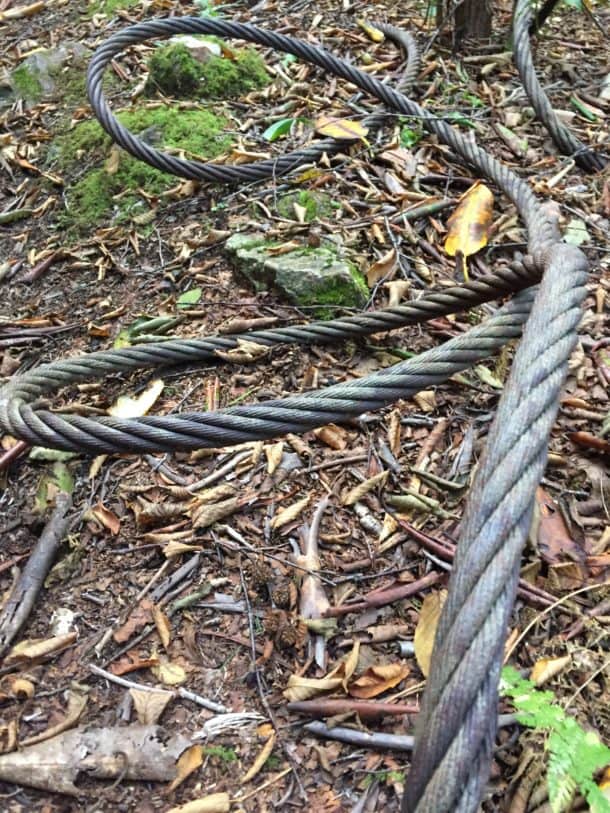
- Remants of a bygone logging era
-
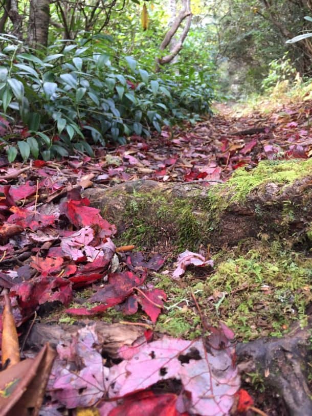
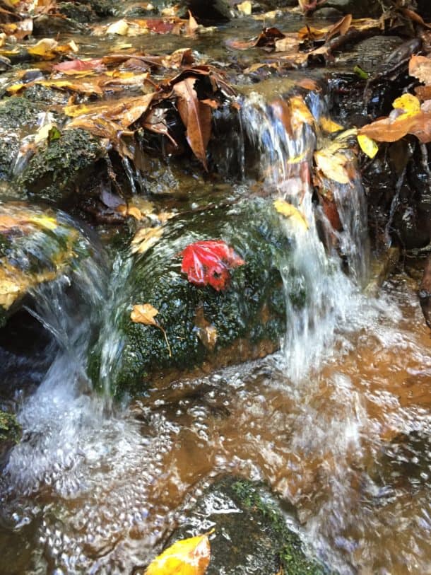
- Fall is here
After this junction, you will soon come to the MST-Green Mountain Trail junction. For this hike, we headed right on the Green Mountain Trail (but again, nothing is marked, so pay attention!). From the Green Mountain Trail, about a tenth of a mile down, it’s fairly easy to see where to veer off to the left from the main trail and head towards this meadow on a social trail (so again, this type of trail won’t be found on a map).
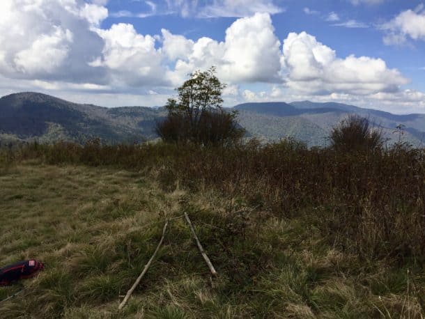
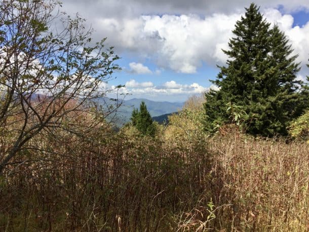
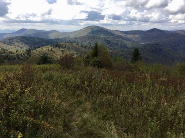
At first, it’s not entirely obvious how much the meadow opens up, but keep hiking and you’ll crest the hill and reach one of my favorite spots in all of Pisgah National Forest, a wide open meadow perched on Fork Ridge. Mt. Hardy is visible to the south, but all of Middle Prong Wilderness seems to stretch out before you in any direction you turn. It’s quite a spot to just sit and soak in the beauty of the high country. Pull out your map and compass and try to identify neighboring peaks and even a small section of the Blue Ridge Parkway. It’s a great activity to do with kids.
-
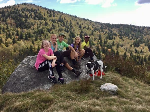
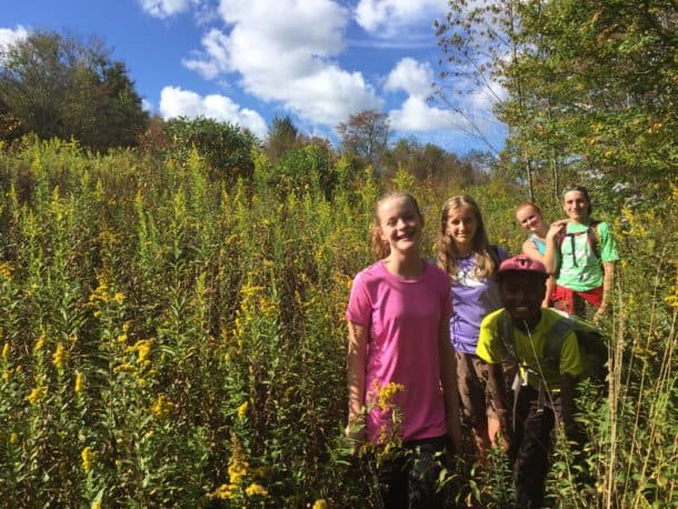
- What a great group of kids!
-
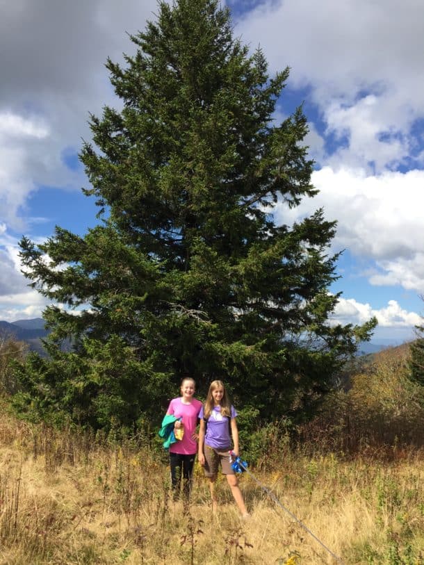
- This spruce was huge!
-
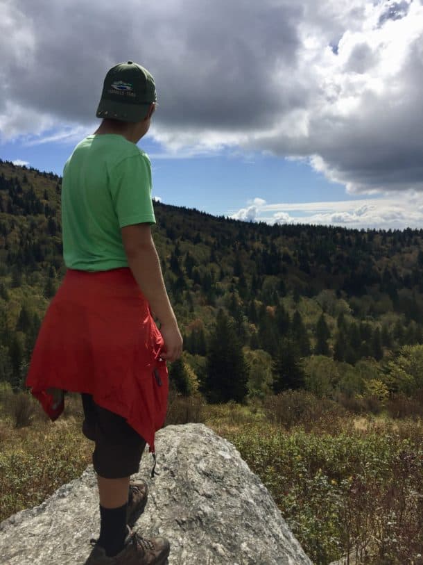
- Views for days!
From the meadow, you can either retrace your steps, or there is also a well traveled user trail that leads off the western edge of the meadow and down to a rather indistinct junction with the MST near the bottom. Currently, it is fairly overgrown and I wouldn’t recommend taking this route unless you’re somewhat knowledgeable with the area and/or have a map and compass skills with a GPS in hand to find where the MST bisects this path. Turn left on the MST here, heading southeast, and follow this until you reach the trail junction you arrived at early, where the Green Mtn. and MST trails split. Continue on the MST trail until you arrive back at the trailhead.
This is the first meadow you come across on the trail, not far from the trailhead. There are some great camping spots around here, for an easy overnight with kids and the star gazing is spectacular on a clear night, if you climb higher in this meadow.
Trail Report Card
Overall Grade: A- (the only reason for the A- grade is because it can be tricky to find these trail junctions, even when you know the area, but for scenery it gets an A+!)
Mileage: Our trip, including the small loop off Fork Ridge was 6.7 miles. The mileage would be slightly less if you turn around at the meadow on Fork Ridge and retrace your steps.
Suitability for Kids: The ascent is gentle, climbing 840 feet in total, but over several miles. The descent is equally as gentle, since you’re essentially retracing your steps. Overall, I think this is a great hike to take kids on, assuming they can handle a hike over 5 miles.
Dog Friendly: Yes (and here’s where the veterinarian in me emerges to encourage you to read my post on best practices for safely hiking with dogs).
How to Get Here: To begin the hike, park in the pull off on the west side of highway 215, 0.45 mile north of the Blue Ridge Parkway. There is room here for a half dozen or more cars.
There is a trail that heads into the greenery right from this lot, but do not take this trail. Get back onto the highway, and walk about 200 feet further north (downhill) on the highway, and look for the Mountains To Sea (MTS) trail marker on the left. Turn onto the trail here. (borrowed from Brenda Wiley’s blog post, since it was so well written)
Resources:
This is an excellent map for all your adventures in this area and can be found at any local outfitter or here on Amazon.

As always, Jeff Clark’s blog, Meanderthals, provides many of my favorite trail reports that I reference on this blog. The report linked is slightly different, since he heads towards Green Knob once he turns onto the Green Mountain Trail (which is another treasure), but until then, it’s an excellent reference to read before heading out.
Brenda Wiley’s blog post about hiking to the summit of Mt. Hardy is another great reference, but be aware that her destination of Mt. Hardy’s summit adds a leg to this trip that we did not add to our route.
Gaia Track with waypoints of trail junctions
[content-upgrade id=”3141″]
Another great trail guide. You certainly keep moving Nancy.
I think I enjoy writing about the trips so much because it takes my mind back to the good mojo I get from the trail. You’re so sweet to read them, Mel. I sure wish you and Jeanne lived closer so we could do some of these hikes together. 🙂