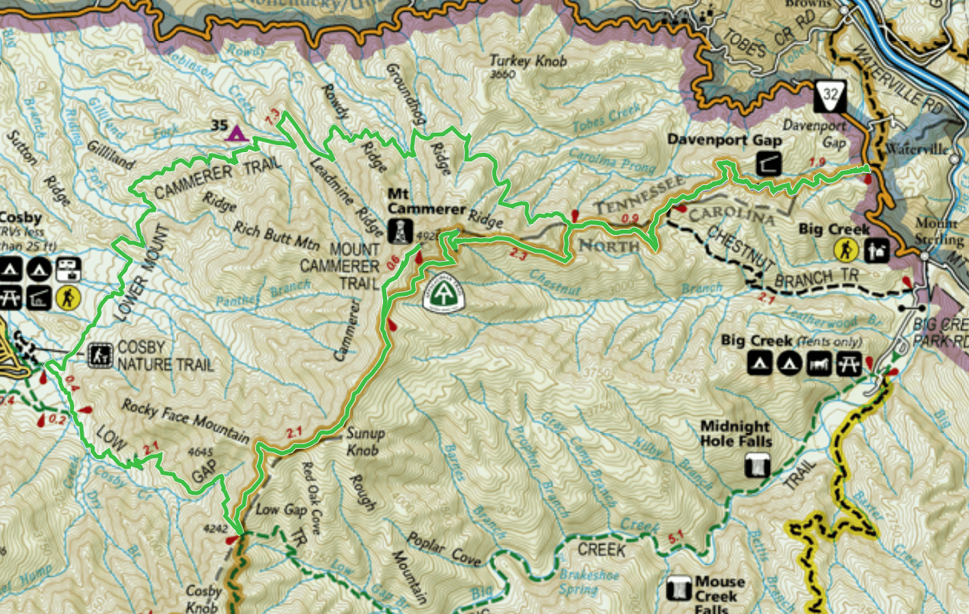
You can also complete this loop by starting and finishing in Cosby Campground, and leave out the section of the A.T. from Davenport Gap to the Lower Mt. Cammerer Trail intersection–this route is between 16-17 miles, depending on where you park your car. An even shorter option (10ish miles) is to do an out and back hike up Low Gap and head north on the A.T. to the tower.
Either loop route described would make a fun 1-night backpacking trip, with an overnight stay at campsite 35. It’s picturesque, large, and tranquil (well, unless you have visitors….more on that below).
The following is the trail journal of my hike with my usual safety snippets, in the interest of my ongoing quest to help educate newer hikers (or seasoned ones who might learn from them too).
Trail Journal
I arrive around 8:15 a.m. at the trailhead at Davenport Gap, where the Appalachian Trail emerges from the park and continues its long journey, nearly 2000 miles away from this point, to Mt. Katahdin in Maine. “A few more years,” I say to myself and smile, as I look in the general direction where the trail continues north. For today, however, I’m happy to simply have a day off in my favorite place, hiking one of my favorite routes.
Usually I start this particular route at Cosby Campground, but I want a bit more mileage than the norm provides, hence starting at Davenport Gap. It’s closer to home too, which is always a plus.
The hike starts with about a 3-mile climb, but it’s gentle enough to enjoy the warm up and I find myself sweating within a few minutes. I hiked a shorter route the previous day in the Deep Creek area and started in 13 degrees! What a difference a day makes.
Safety Snippet: A good rule of thumb with hiking in cooler seasons is to “start cold,” so you’re not sweating through multiple layers of clothing within a few minutes of beginning your hike. You want to keep some layers dry and protected at all times, for your rest breaks when your body has cooled down and you need them. It can often be a tricky balancing act of layering and delayering throughout the day.
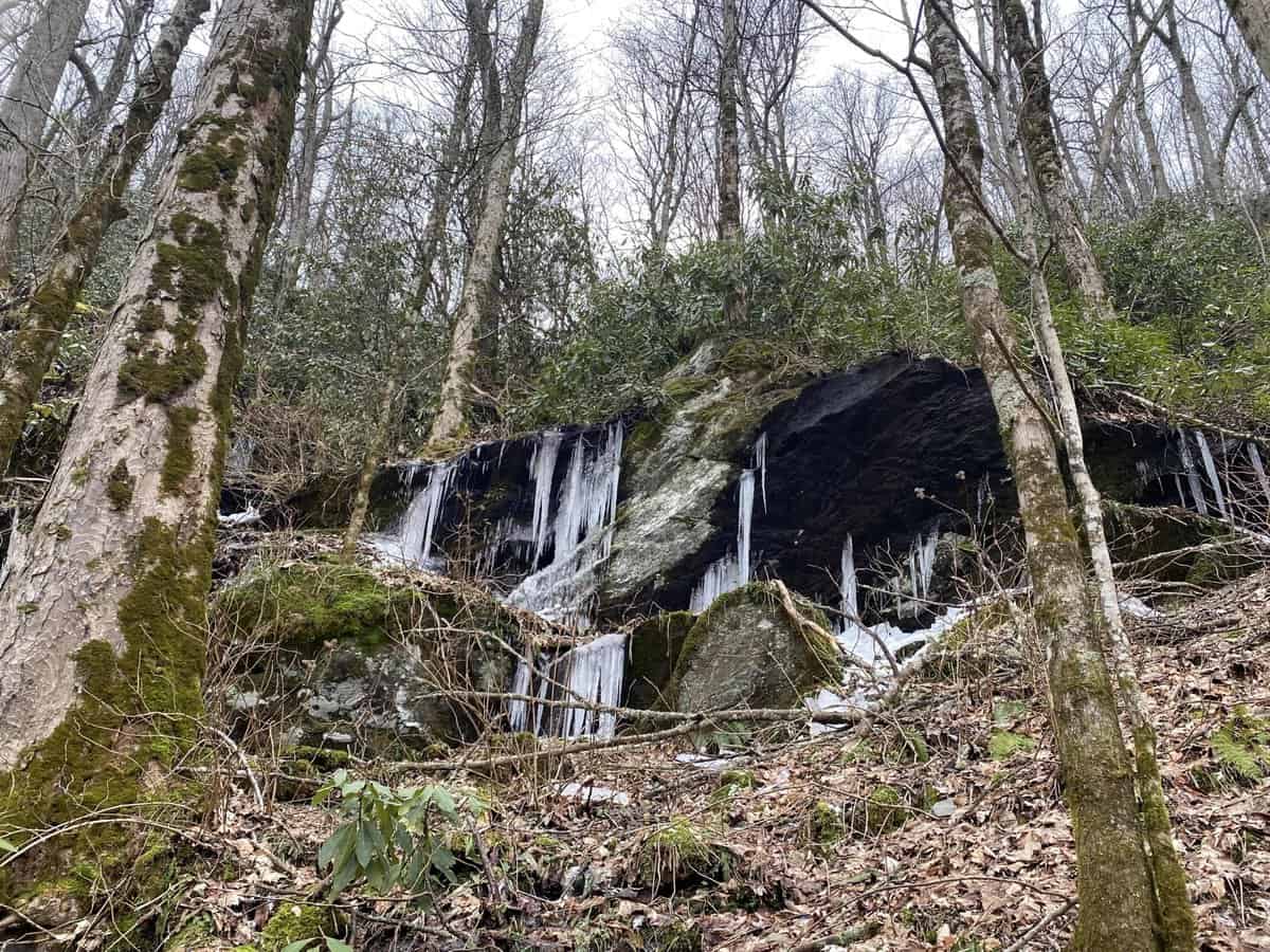
The temperature is slightly above freezing, but not warm enough to melt off all the ice formations along the route. They are one of my favorite parts of winter hiking, and it’s hard to tear myself away from them when I find them. I continue on though, knowing I’ll be chasing daylight the entire route.
 I reach the Lower Mt. Cammerer Trail junction and am excited about the prospect of 7.2 miles of complete cruiser trail. The grade is gentle, the trail well worn, and the forest is quiet and serene. The perfect “flow state” for my mind which never seems to rest.

This peaceful cemetery sits on a knoll along the Lower Mt. Cammerer Trail
I’ve never hiked this trail in this direction, but it’s a treat as I see Mt. Cammerer’s fire tower high on the summit in front of me. I’ll be there in a few hours, but it’s slightly discouraging to know I’m still heading downhill quite a ways, before heading right back up the Low Gap Trail to reach it. What doesn’t kill us makes us stronger, right?!
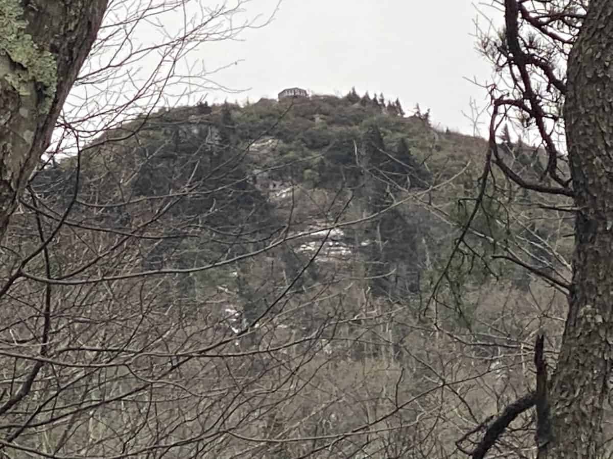
See the fire tower at the top?
I pass campsite 35 and reflect on the memory of my son’s backpacking trip with his school in this site, a few years ago. They had midnight visitors (2 black bears) hanging out at the bear cables most of the night. While their group was a sizable distance from the bears, my son never slept a wink, worried the bears would come attack them. They were a big enough group that it was highly unlikely, but regardless, it made a lasting impression on him. It’s hard to convince him that camping in the backcountry is fun now. 🙁
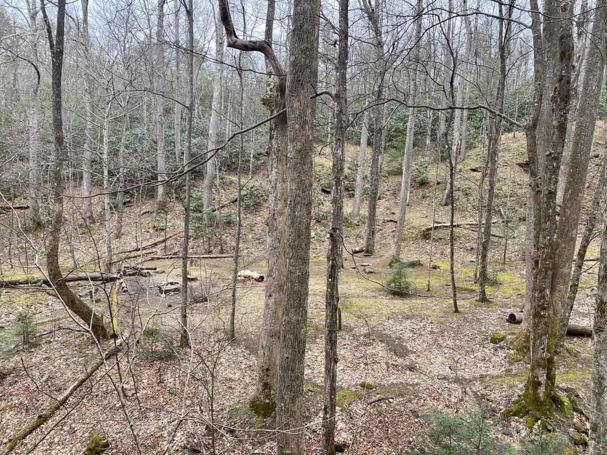
The infamous campsite
Safety Snippet: My son’s class spent part of the afternoon cleaning up the trash from previous careless campers. That is likely what invited the bears back when they were there. While camping in the backcountry, pack out every scrap of trash and food you can see, and don’t leave food in the fire pit (or burn your food packaging in it). Always keep in mind that, “a fed bear is a dead bear.”
I take a picture of the campsite, with the intention of quizzing my son when I return home. I want to see if he recognizes it (which he did immediately). His words to me were, “That’s the place I thought I was going to die, Mom!” Oh, the drama of teens. 😉
I reach the end of Lower Mt. Cammerer, stop for a quick break to camel up on some water, and then head back up the mountain on Low Gap. I’ve hiked this trail countless times since it provides access to begin many loop hikes. Low Gap never gets easier though, with its rocks and roots and steep incline most of the way. I pop in one of my ear buds to listen to the last episode of Dolly Parton’s America (an excellent podcast) and it distracts me from my huffing and puffing.
Safety Snippet: I should advise you to never hike with ear buds, because you always need to be able to hear around you while on a hike. But I would be hypocritical (and lying) if I said this is an absolute in my own life. I compromise by hiking with only one bud, on a very low volume, and I don’t do it frequently and especially when I’m on remote trails.

I love the color of galax in winter
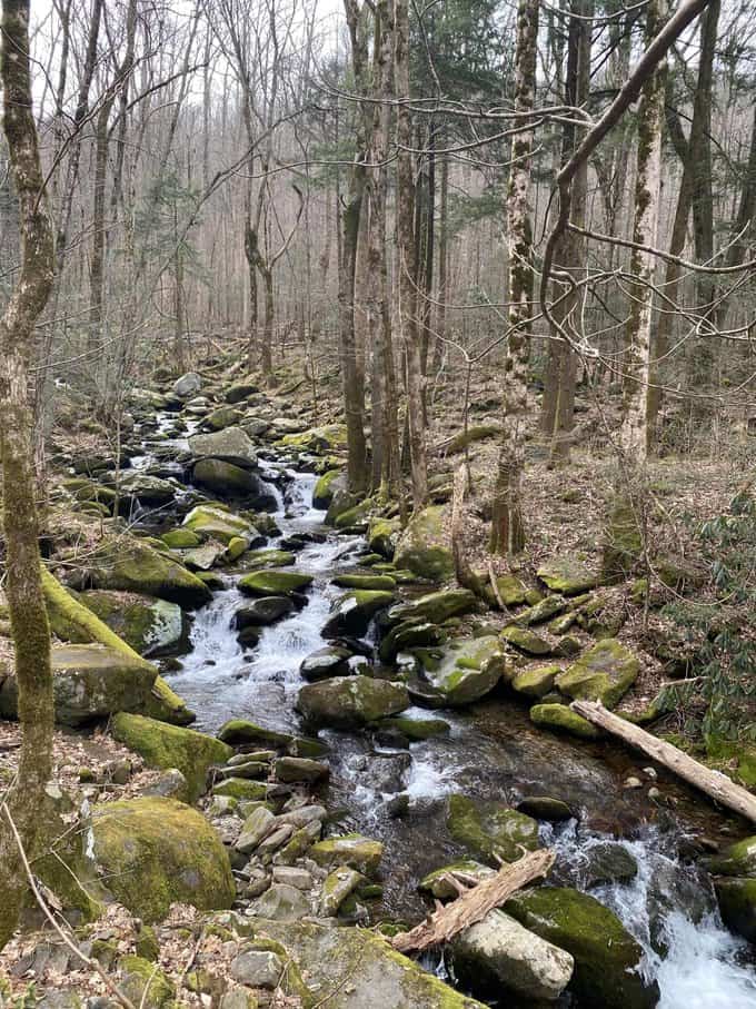
By the time I reach the Appalachian Trail again, I’ve removed every layer except my top, tights, and fleece hiking skirt. Even my hat and gloves are now packed away, which is definitely a testament to how hard I’ve worked, because they are almost always on my body during winter hikes. My climbing isn’t over yet, however, as the A.T. continues ascending, albeit at a more gentle incline.
A little over 2 miles later, I reach the turn off for Mt. Cammerer’s fire tower. I encounter 3 people on the spur trail, all heading in the opposite direction. I bet I’ll get it all to myself since most folks want to be heading back down by this time of day.
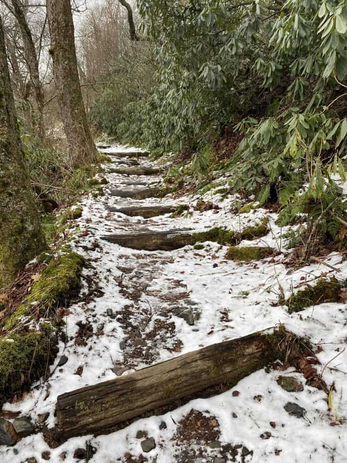
North facing trail
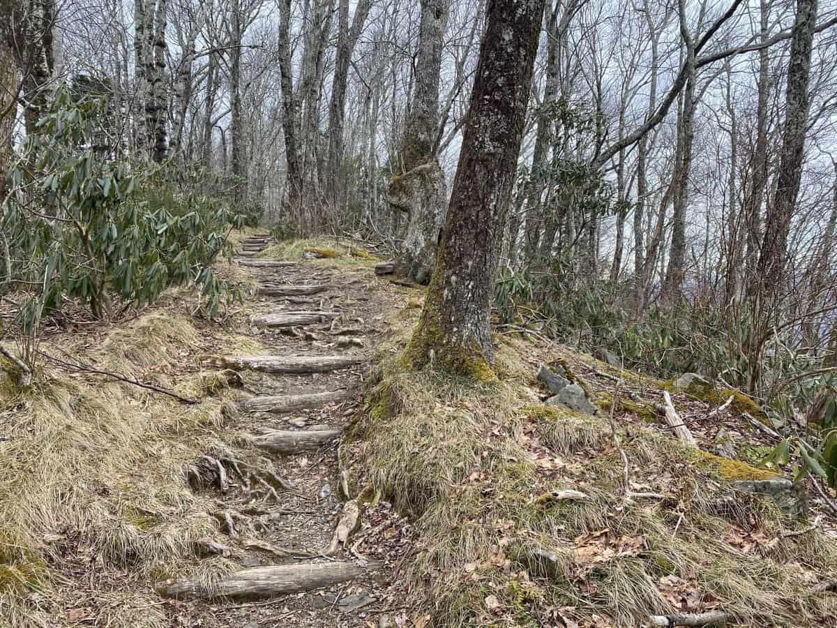
South facing trail
My hunch is correct, and perhaps for the first time of many hikes to this beautiful spot, I’m alone (well, except for my trusty hiking companion, my doll, Lavender Mae). All those layers I removed earlier are now back on my body, as I sit on the fire tower’s deck to enjoy my lunch. Mt. Sterling looms mightily to my southeast, and I think I can barely make out the shape of the fire tower on its summit.
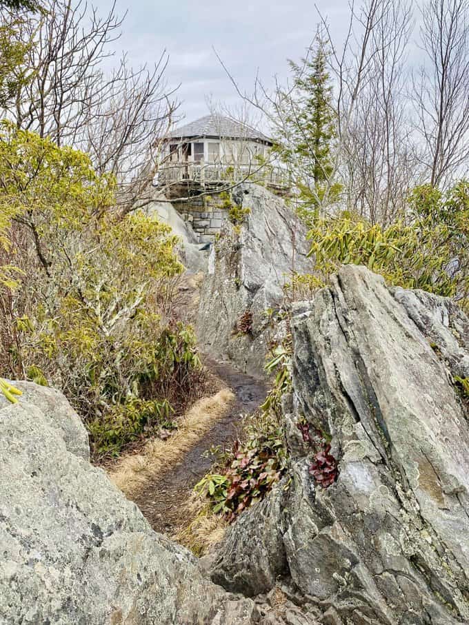
Such a picturesque setting for the prettiest tower in the Smokies (in my opinion, at least)
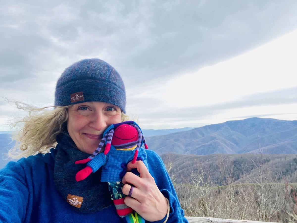
Lavender Mae and me with Mt. Sterling behind us (she was THE BEST Christmas present ever from my husband)
After 30 minutes have passed, I tear myself away and start my hike out. I have a little over 6 miles to hike, and I want to beat my family home from basketball practice, work, etc. to have dinner ready for them (which will amount to reheating leftovers, but I still want to do it for them since they gave me the gift of a day off). With a mostly downhill hike ahead of me, dead reckoning tells me I should be finishing up by 4:30 which is perfect.
Safety Snippet: While a map and compass are non negotiable items in my backpack on any hike, “dead reckoning” is one of my favorite navigational tools to use and it doesn’t weigh a thing since it’s a mental exercise. It’s a fantastic way to keep tabs on your timing, to finish hikes before dark, etc. as well as recognize when you might be “misplaced.” Here’s something I wrote that explains what it is and how it’s helpful in more detail.
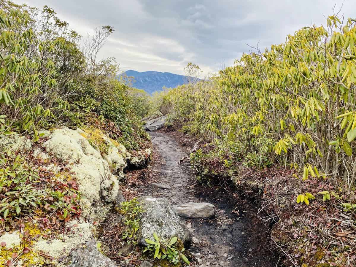
Heading away from the fire tower
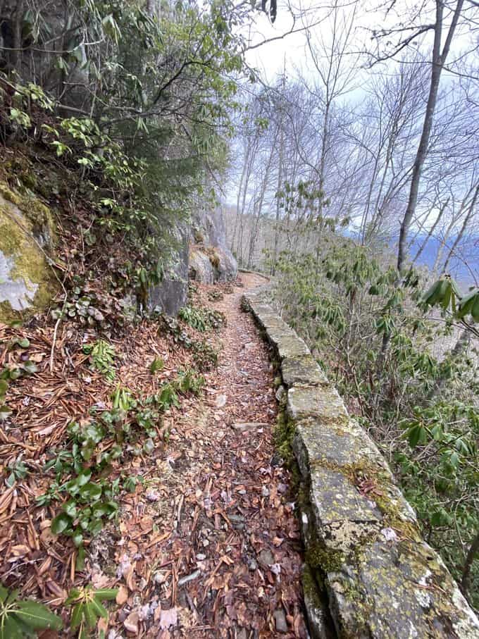
I love this section of the A.T. in the park
I head out and don’t pass another soul the entire way back to my car waiting for me at Davenport Gap. I arrive at 4:27 and am excited about how close I came to my projected arrival. It’s the little things.
I drive away, my heart and soul filled to the brim with my love for the Smokies.
Happy trails,
Nancy
TRAIL REPORT CARD AND GPX TRACK
Mileage: 20.8 miles
Potential Hazards: Winter weather is a wild card in the Smokies, and you should always check the weather forecast before leaving on a hike (and several days after your hike, just in case you’re out longer than expected). Always leave for a hike expecting to stay out overnight, just in case you’re forced to with an injury, are lost, etc (SAR teams will never arrive as quickly as you’d like them to). Other than that general advice, there aren’t any unusual hazards on this route.
Suitability for Kids: Undoubtedly, kids would enjoy the iconic Mt. Cammerer Fire Tower; however, it’s a minimum 10-mile round trip hike to get there (if you do an out and back on Low Gap and the A.T.). Probably best reserved for teens or really fit younger kids.
Dog Friendly: No. Dogs aren’t allowed on trails in Great Smoky Mountains National Park with the exception of the Gatlinburg Trail and the Oconaluftee Visitor Trail.
Permits: No permits are needed to hike the trails in Great Smoky Mountains National Park, but they are required for camping in the backcountry. Reservation information for backcountry website the park’s website.
Navigation Resources
National Geographic Trails Illustrated Map of Great Smoky Mountains National Park
I carry the 10 essentials in my pack at all times and you should too! If you’d like to know what gear I use and recommend, here’s my gear list.
I use the GAIA app for all my hikes. If you are interested in using GAIA, you can get a 20-50% discount off a subscription (and I highly recommend it). I use it for both SAR and personal use exclusively.
RECOMMENDED GEAR
I carry the 10 essentials in my pack at all times and you should too! If you’d like to know what gear I use and recommend, here’s my gear list.
P.S. If you’re interested, and especially if you’re new to hiking or backpacking, I invite you to join my Facebook Group, where I post the best deals on quality hiking/backpacking/camping gear that I can find. But more importantly, I provide education on outdoor safety topics, based on my SAR operations. It’s a fabulous group of people and I like to think of it as one of the nicest Facebook groups out there. 🙂
[content-upgrade id=”3163″]
