Day 1: Panamint Dunes and Darwin Falls
Day 2: Mosaic Canyon, Badwater Basin, Devil’s Golf Course, and Artist’s Drive
Day 3: Rhyolite Ghost Town, Titus Canyon Road, Ubehebe Crater, and Mesquite Sand Dunes
Hike to Mt. Perry
We wake again after a good night’s sleep in the Stovepipe Wells Hotel, eager to spend our last day in Death Valley National Park with a bit of altitude gain, hoping it will grant us reprieve from the heat.
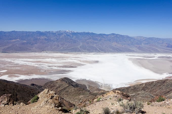
The starting point of our destination, Dante’s View, sits at 5,476 feet, so it should do the trick. When we arrive, the broad expanse of Badwater Basin spreads out beneath us, rivulets of white sand streaming from its edges, reminding me of something the artist Andy Goldsworthy might create. Snow-capped Telescope Peak towers across the valley at 11,043 feet in the Panamint Range, a hike we’ll have to save for another trip but one at the top of my list when we return.
Badwater Basin and the Panamint Range with snow-capped Telescope Peak in the distance
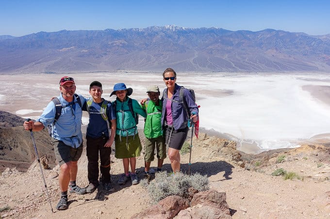
Our destination, Mt. Perry (elevation 5739 feet), is 4.5 miles from Dante’s View, so we head out. The temperature is more bearable at this elevation but becomes increasingly warm as the day wears on. Nothing compared to Badwater Basin below us though and we’re grateful. Despite the mild overall elevation gain, the trail challenges our legs with constant ups and downs that are steeper than I expected. The kids all do surprisingly well though, and we’re entertained by our trailside companions of Southern Desert Horned Lizards, cleverly camouflaged into the terrain.
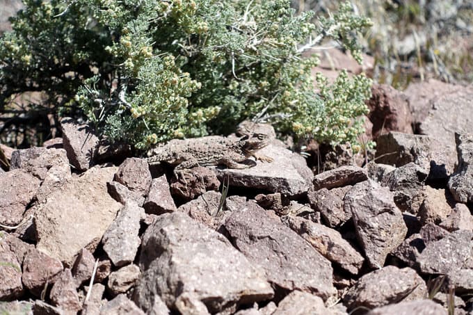
Southern Desert Horned Lizard
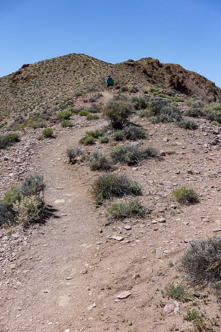
Up and down, dusty and dry
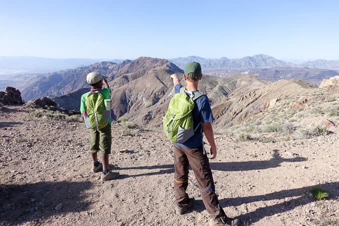
Pointing out Mt. Perry in the distance
Eventually, we reach an area where we must scramble up some rocks, adding an extra layer of adventure to the hike. The kids do great, easily navigate the terrain, and reach a saddle just before the final push to the summit. Everyone is in need of a break and there is an area of rocks that serve as a fine lunch spot, so we stop and eat.
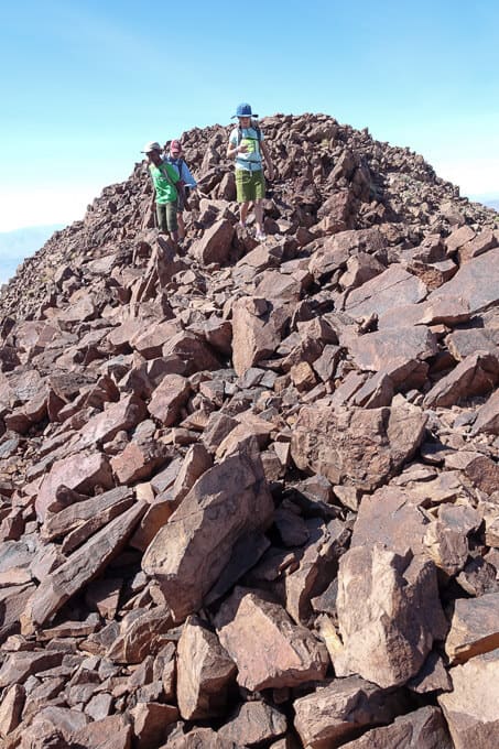
The kids always enjoy the rock scrambles on trails
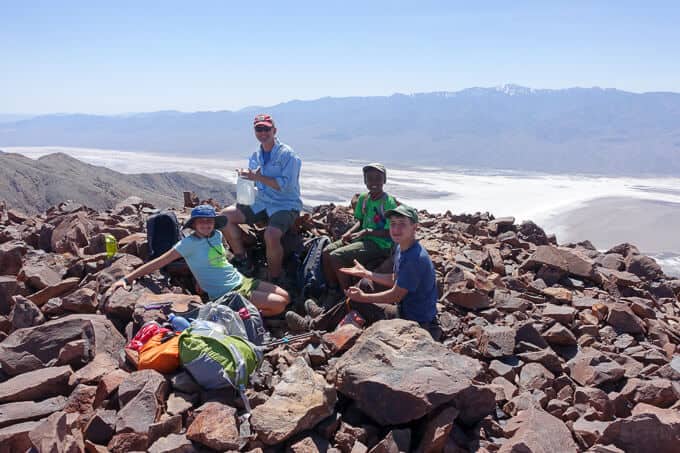
Our lunch spot
From this point, it’s probably another 30 minutes of hiking to the summit of Mt. Perry. The kids just aren’t feeling it and are perfectly happy making this our turnaround point. Larry feigns indifference and is completely fine if his feet never touch the summit either. As a self-professed peak bagger and type A personality, it’s difficult to come this far and not make good on our original plan. Larry encourages me to head out and finish it, but I’m torn. It feels selfish to leave them here in the hot sun with no shade for an hour. We still have a few hours of driving ahead of us and an early flight out of Las Vegas the next morning, so I take one for the team and we head back. I really can’t complain though–the view is expansive in every direction, my kids are rocking a tough hike, and I have a patient and kind husband who supports my neuroses goals.
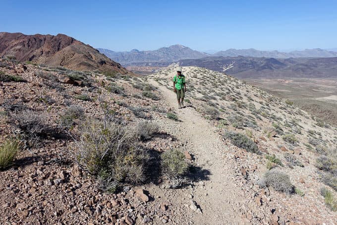 Wogene Moving right along.
We return to the car, make the trek to Las Vegas and celebrate another outstanding family adventure at In ‘n Out Burger, our fave when we’re out west (I don’t even eat the burgers but the “grilled cheese,” fries, and milkshakes are da bomb of fast food!)
RESOURCES FOR HIKES
National Geographic Death Valley National Park Map: This map was crucial to all our adventure in Death Valley National Park and it’s highly recommend that you take it, along with a compass (and knowledge of how to use them) on any hike in the park.
Purchase Death Valley National Park on Amazon
Hiking Death Valley by Michael Digonnet: This book came highly recommended to me, and I’m so thankful we had it for our trip. It is both informative and educational, providing a natural and cultural history behind many areas of the park as well as detailed trail descriptions.
Purchase Hiking Death Valley: A Guide to Its Natural Wonders and Mining Past on Amazon
Trail Report Card
Overall Grade: A.
Mileage: 8.0 miles
Type of Hike: Out and back.
Suitability for Kids: There are a couple of areas with exposure along the trail, so watch kids closely and keep them in your sight at all times if they’re young. The rock scrambling holds minimal risk if your kids are cautious and careful. I would save this particular hike for tweens/teens due to the constant elevation gain and loss.
How to Get Here: From Furnace Creek take Hwy. 190 southeast 11 miles. Turn right and continue south on the road to Dantes View 13 miles to the overlook parking lot. The trail starts from the parking lot.
Water Sources: As with most hikes in Death Valley, there are no water sources to speak of, and it’s imperative you bring enough (the NPS recommends at least 2 liters per person for a short day hike in the “cooler” season and at least a gallon per person for longer hikes) You must drink more water here than in other places.
Hiking seasons: From the NPS Death Valley website: “The best time to hike in Death Valley is from November through March. Summer temperatures can be dangerous in the park’s lower elevations. Even during spring and autumn the heat can be unbearable for most people. Save the low elevation hikes for the cooler winter days. The high peaks are a pleasant escape from the heat in summer, but are usually covered with snow in the winter and spring. If you must climb them during winter season, be sure to be properly equipped with adequate winter clothing, an ice axe and crampons.
[content-upgrade id=”3475″]
**Using the links in this post to buy the book or map I recommend does not add any additional cost to you, but it does earn me a tiny commission to help offset the costs of running this blog, which is my way of “paying it forward” to the hiking community and a labor of love. I appreciate your support if you use them! 🙂
