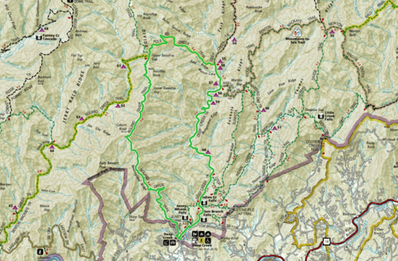
Trail Journal
The night before this hike, I spent the evening with my sister and her 7-year-old son in the hospital. He’s fighting a wicked combination of flu, strep, and croup and was having trouble breathing earlier in the day, hence the hospital stay. He was stable when I left them (in fact, he was practically jumping on the hospital bed…the magic of steroids and Motrin!), but my sleep was restless and scant, worrying about him.
I typically set an alarm for the wee hours of the morning before my longer hikes, to make sure I have enough daylight to complete my planned route and not get in a rush packing my things for the day. For this hike, however, I decide to let my body tell me if I’m rested enough, so I don’t set the alarm.
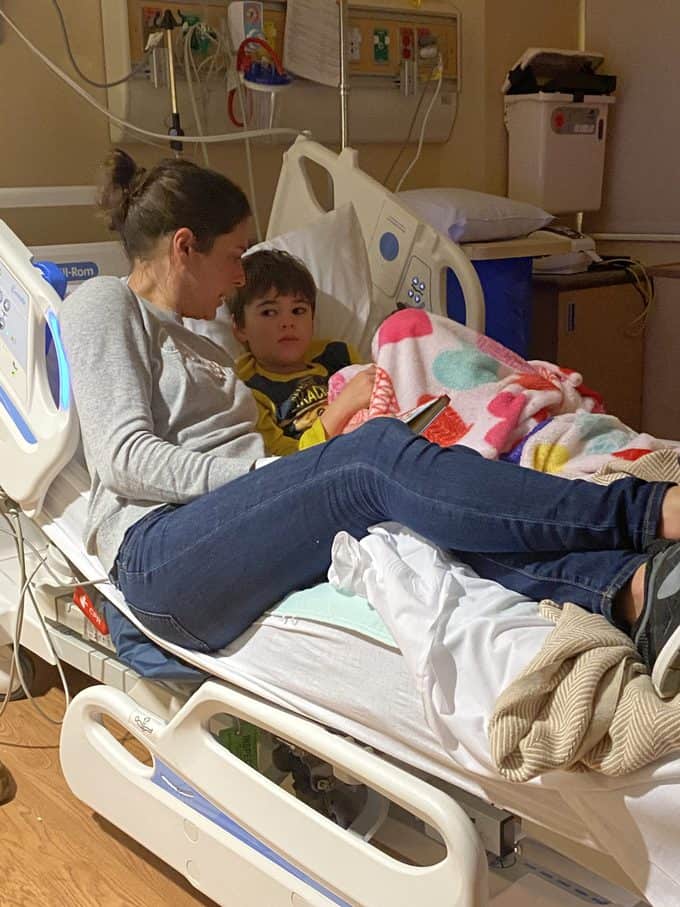
My sister and her son
I wake at 7 a.m. and text Molly, my sister. She tells me Charles is stable and is going to be discharged. Her husband is coming to pick them up, so I’m free and clear! I jump out of bed and plan my route, starting at the Tunnel to Nowhere. Since I’m getting a late start, I pack up my things in a hurry so I’ll have time to complete all 23 miles of my planned route without hiking in the dark.
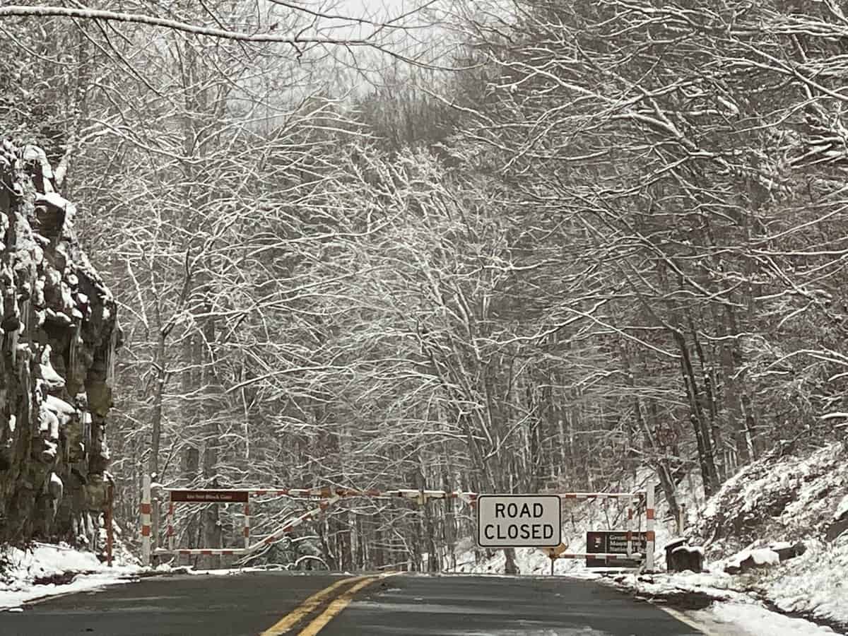
I make the drive to the trailhead. Except when I reach the park boundary, I’m met by a closed gate. Doh! I forgot to check to see if it was going to be open! I have reception so I quickly come up with my plan B–head to Deep Creek and hike a shorter loop for some other trails I need to complete my second map of the Smokies. I text my husband the modified itinerary and head back down the hill.
Planning Tip: Twitter provides road closure information for paved roads, but you must call the park to find out about the status of unpaved roads (this one would have been on Twitter–I just forgot to check).
When I get to Deep Creek, I pull my backpack out of the car and realize I left my hiking poles at home! I can’t remember the last time I hiked without poles and I honestly consider heading home. I know I’ll encounter snow and ice, and I really want the stability my poles provide.
I decide, however, that I’m being a big baby if I do that. It’s time to “improvise, adapt and overcome,” something one of my favorite professors in veterinary school used to preach to us during our large animal medicine rotations. I can always find a good stick to use as a makeshift pole. I have an enormous hiking goal this spring which will require more training than I can probably even fit in before it starts, so I definitely need to suck it up.
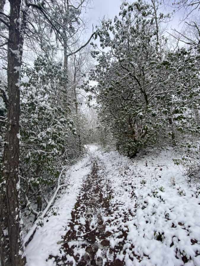
I set off up the Noland Divide Trail, and I’m excited to visit Lonesome Pine overlook since it’s been a few years since I visited one of the most unique spots in the Smokies. I make good time heading up, despite feeling like an amputee without my poles in my hands. I can’t figure out what to do with my arms as I hike without them!
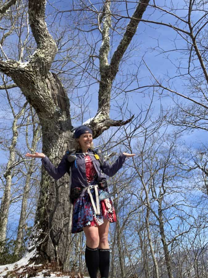
Look Ma, no poles…and I don’t like it!
I take a short break when I reach the Lonesome Pine overlook. Abruptly, I remember I a voice mail my dad left me last night when I was helping my sister at the hospital. “How many other things am I forgetting?!”, I think to myself.
I return his call and counsel him about a sick cat. He also tells me one of his pilot friends was in a fatal accident the day before while flying in north Georgia, and it makes me sad for him. He’s lost a few friends over the years this way, and I suppose it’s more likely to happen when you keep the company of as many pilots as he does, but I hate it all the same.
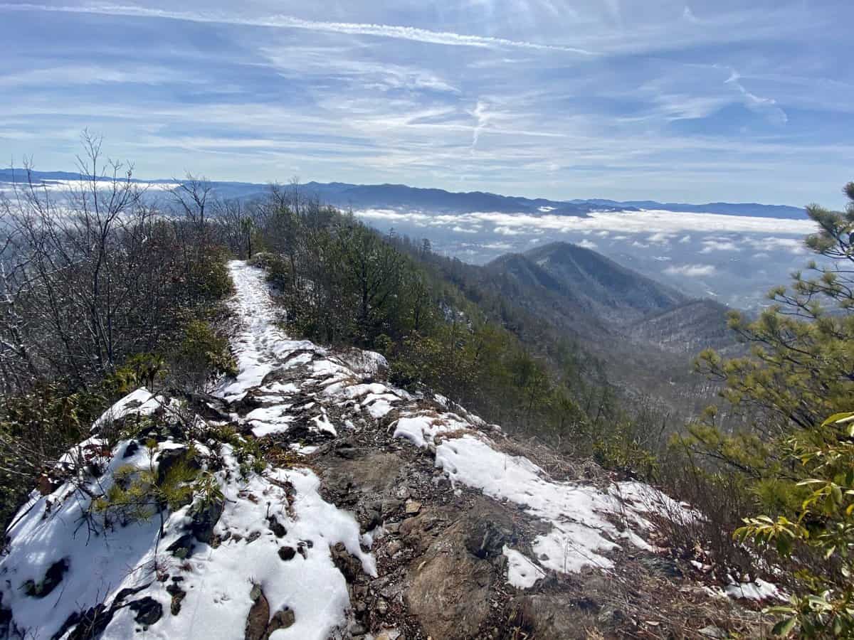
This ridgeline walk just below Lonesome Pine is one of my favorite stretches of trail in the Smokies!
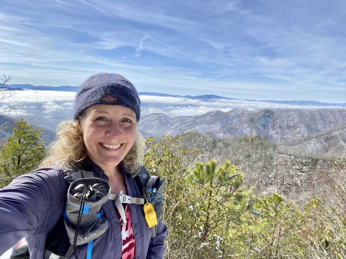
I love cloud inversions and the surprise of finding clear skies above them after a long climb.
The majority of my climbing is over after Lonesome Pine, but I find myself wishing for more. Going downhill is more challenging without poles, but the snow is just deep enough that it’s not as bad as I thought it would be. I reach the intersection of Noland Divide and Pole Road Creek and laugh at the memory of forgetting my camera in this very spot last year, as I was backpacking the Benton MacKaye Trail with my friends (I added about a 7-mile side trip to our itinerary that day, to come back and get it!). Hmmm, maybe I’m more forgetful that I realize!
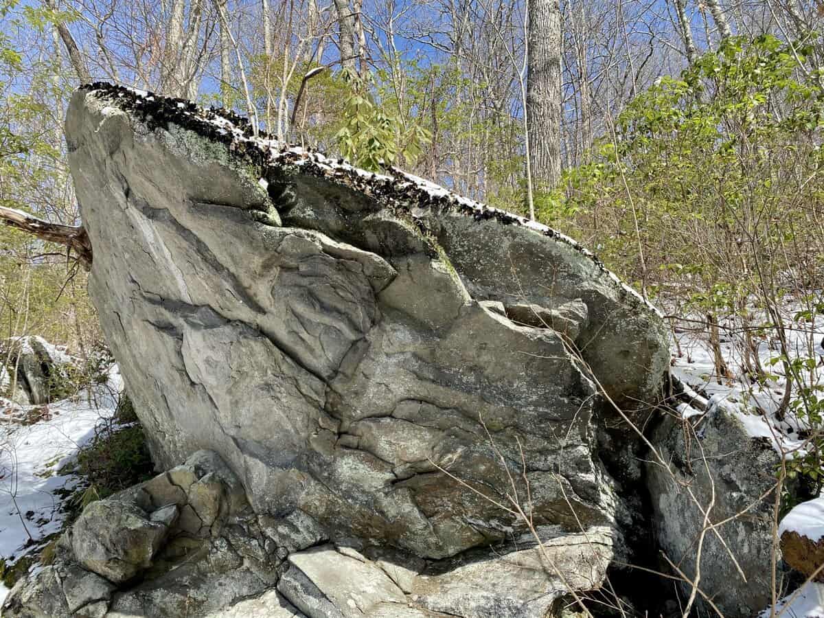
This rock looked like a whale’s head breaching the surface of the ocean (but I’ve been told my interpretations of what things look like in nature is weird)!
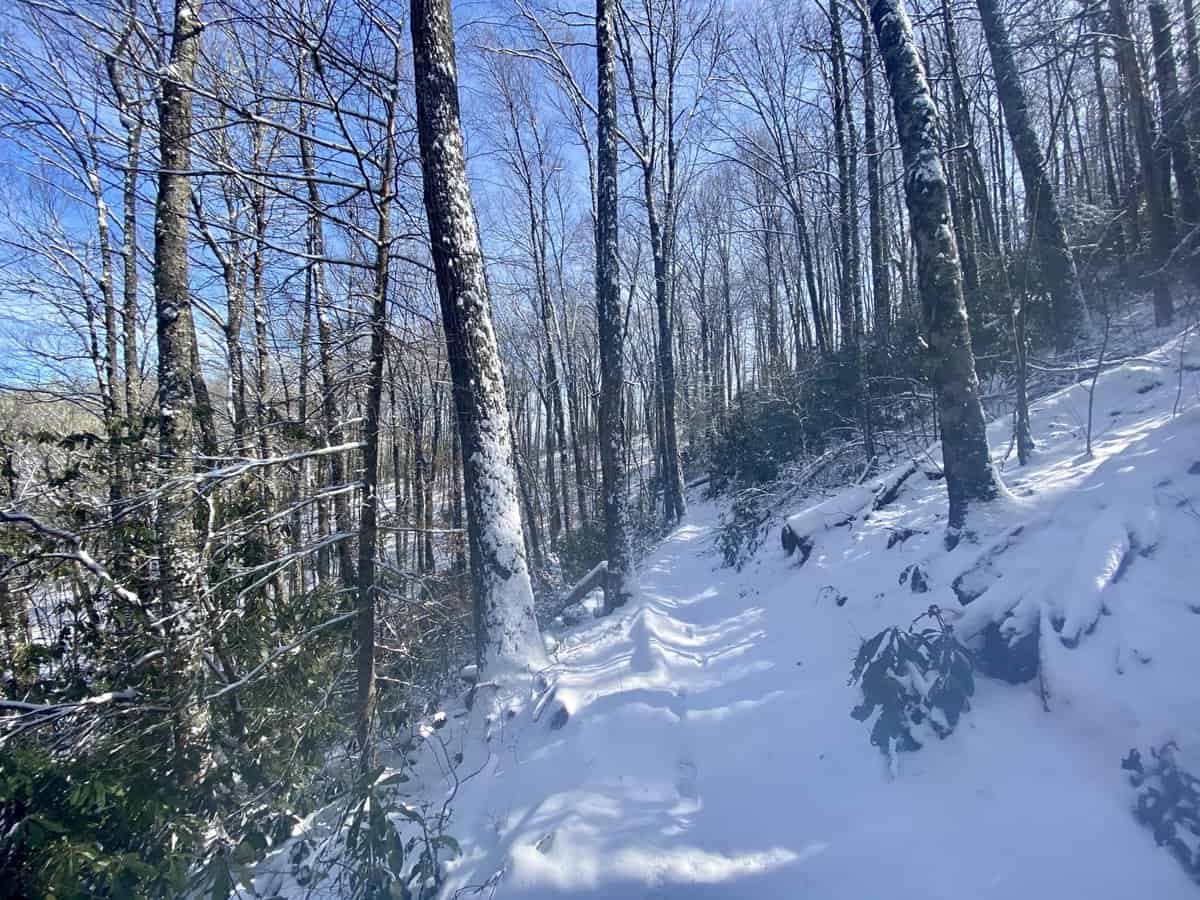
There was one set of footprints ahead of me until I turned off Noland Divide.
I know Pole Road Creek Trail is going to test my balance with its chilly creek crossings, so I start scanning the trail for a tree limb to use as a hiking pole while crossing the water. My husband can always find a limb with the the perfect diameter and length for this purpose, but I struggle to find the right one. They’re either too small or too big, so I finally give up and opt for one of the larger ones and decide I’ll get a good arm workout by using it!
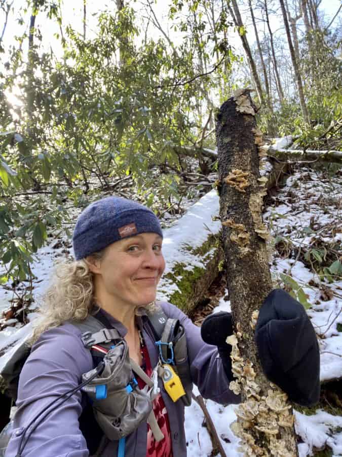
Meet “Goliath!”
I make the many crossings with my behemoth limb (I nickname it “Goliath”). None of the crossings are necessarily dangerous, but they’re all frigid and my feet are positively numb by the time I reach the Deep Creek Trail 3.3 miles later. I thank Goliath for keeping me upright during the crossings, and leave him on the side of the trail.
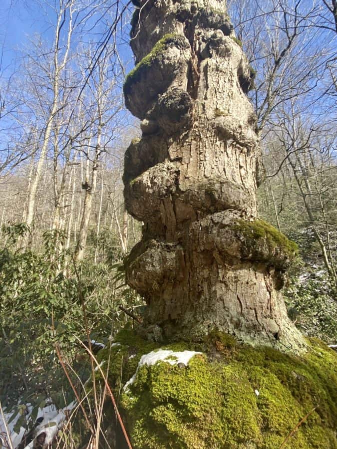
There are some unique trees in the Smokies that I look for when I hike specific trails. This is one of them!
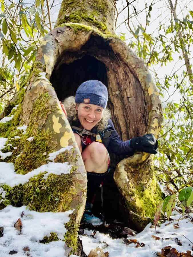
And yet another one. I think it looks like I’m being birthed by it (yep, another bizarre interpretation of nature findings, haha)!
I start on Deep Creek Trail with frozen feet, and the going is slower than my normal giddy up and go pace towards the end of my hikes. I still haven’t stopped to eat my lunch, so I decide to take a quick break once I can semi-feel my feet again and know I won’t be completely miserable.
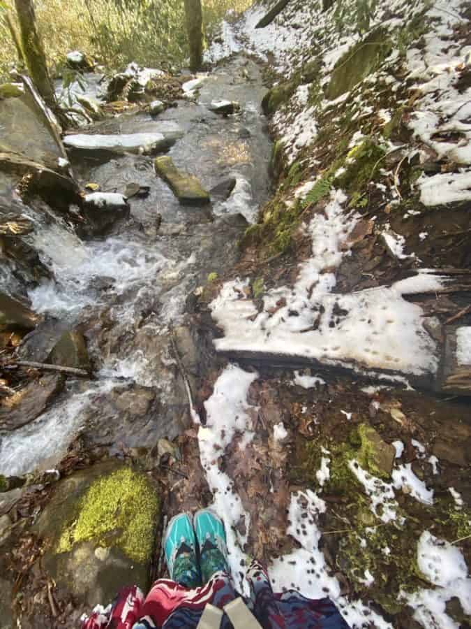
At one point, the creek WAS the trail!
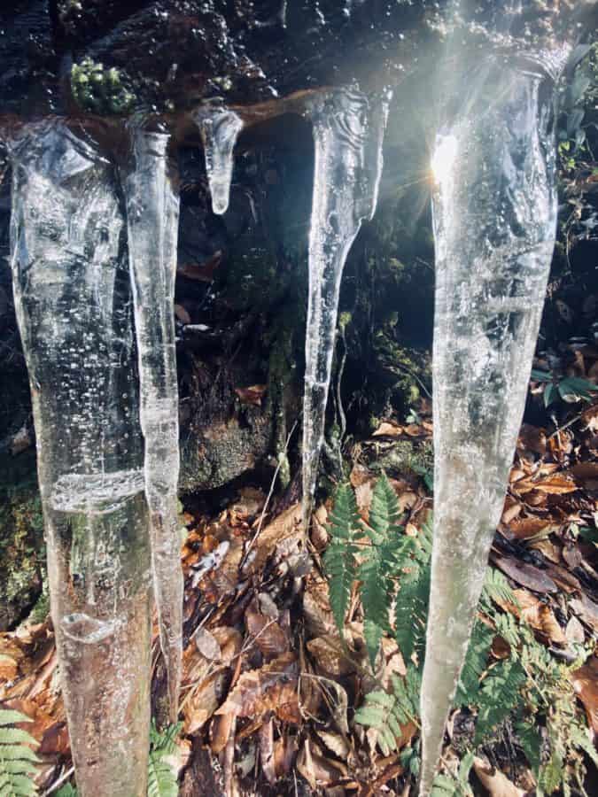
Lots of icicles on the trail today
As I take my food bag out of my pack, I realize I forgot my chips. HOW DID I FORGET THE CHIPS?! This is worse than forgetting the poles! Potato chips are my favorite guilty pleasure since I don’t allow myself to eat them at home often (it’s impossible for me to put them down once I start), and I never forget this luxury…well, until today.
Unlike Goliath, I know I won’t find a suitable substitute for salty, highly processed, saturated fat laden goodness in the woods, so I make a quick tuna wrap without chips and choke it down (a bit of an exaggeration, but I normally put my chips into my wrap and it’s just the most perfect trail lunch ever). The rest of my hike is spent day dreaming of the pizza and beer that I’ll have for dinner, and it’s a slight appeasement for forgetting the damn chips!
Safety Snippet: Do I say and not as I did on this hike: Take the extra time to slow down and check your gear before heading out on a hike, no matter how rushed you feel. A checklist on my phone helps me with this task….when I take the time to use it! I was thankful the things I forgot weren’t essential (well, those chips are debatable in the “essentials” category!), and I typically leave all of my essentials in my pack so I don’t leave any behind.
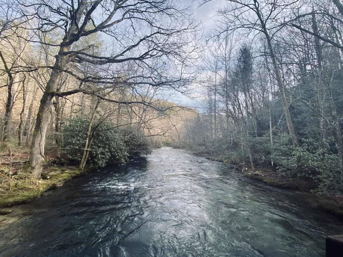
Deep Creek
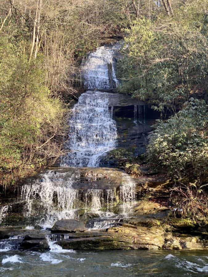
Tom Branch Falls
I reach my car and vow to myself to never, ever rush out the door for a hike again (and to always check for road closures before heading out, since this is the second time I’ve been burned by one in the last week), and head for home. I’m happy to have put the miles in and it was lovely hike, despite the many hiccups!
TRAIL REPORT CARD
Mileage: 18.4 miles
Potential Hazards: Winter weather is a wild card in the Smokies, and you should always check the weather forecast before leaving on a hike (and several days after your hike, just in case you’re out longer than expected). Always leave for a hike expecting to stay out overnight, just in case you’re forced to with an injury, are lost, etc (SAR teams will never arrive as quickly as you’d like them to).
Pole Road Creek has several unbridged crossings that could definitely become sketchy with high rains.
Suitability for Kids: This would be a long day hike with kids; however for fit kids, making an out-and-back trek to Lonesome Pine would be rewarding. The Deep Creek area also has 3 beautiful waterfalls close to the trailhead which are always fun to visit with kids.
Overnight Option: This would make a nice overnight hike with stays in any of the campsites along the Deep Creek Trail (I’ve stayed at 57 and it’s spacious and quiet).
Dog Friendly: No. Dogs aren’t allowed on trails in Great Smoky Mountains National Park with the exception of the Gatlinburg Trail and the Oconaluftee Visitor Trail.
Permits: No permits are needed to hike the trails in Great Smoky Mountains National Park, but they are required for camping in the backcountry. Reservation information for backcountry website the park’s website.
Navigation Resources
National Geographic Trails Illustrated Map of Great Smoky Mountains National Park
I use the GAIA app for all my hikes. If you are interested in using GAIA, you can get a 20-50% discount off a subscription (and I highly recommend it). I use it for both SAR and personal use exclusively.
RECOMMENDED GEAR
I carry the 10 essentials in my pack at all times and you should too! If you’d like to know what gear I use and recommend, here’s my gear list.
P.S. If you’re interested, and especially if you’re new to hiking or backpacking, I invite you to join my Facebook Group, where I post the best deals on quality hiking/backpacking/camping gear that I can find. But more importantly, I provide education on outdoor safety topics, based on my SAR operations. It’s a fabulous group of people and I like to think of it as one of the nicest Facebook groups out there. 🙂
[content-upgrade id=”3163″]

I think your interpretation of things you see is spot on Nancy!
Thank you for sharing I really appreciate it!
Your comments always make me smile, Jeff! 🙂