My first video is far from being professional, but it was a heck of a lot of fun to make. I love that this medium lends itself to me teaching more about the cultural and natural history aspects of the trails I hike. Take a peek and let me know what you think in the comments below the video. I plan on making more videos of future hikes and even some gear reviews, so subscribe to the channel if you’re interested in staying in the loop!
Despite video being an excellent way to share a trail report, I think writing will always hold the key to my blogging heart. So on that note:
Trail Report
For this hike I combined four trails in Great Smoky Mountains National Park:
- Palmer Creek
- Pretty Hollow Gap Trail
- Mount Sterling Ridge
- Balsam Mountain Trail
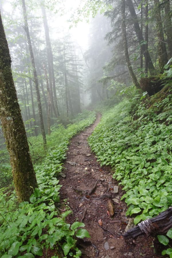
It was an unseasonably cool and intermittently rainy day, but the rain added a mystical quality to the woods and more than once I found myself standing in the middle of the forest in complete awe.
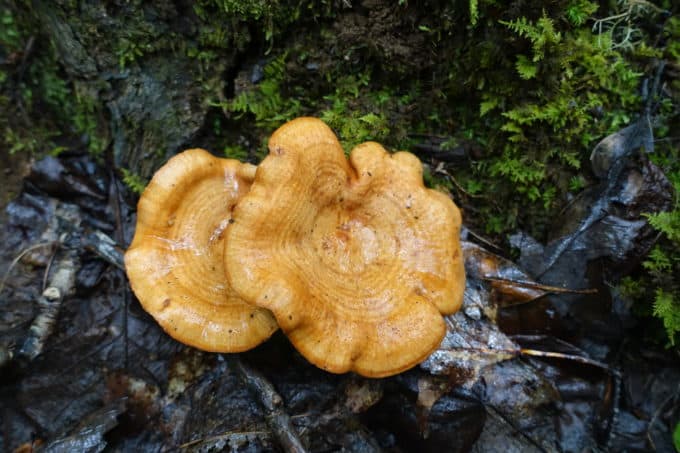
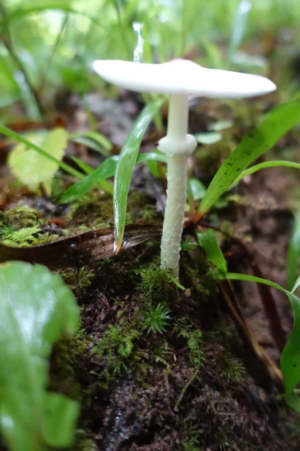
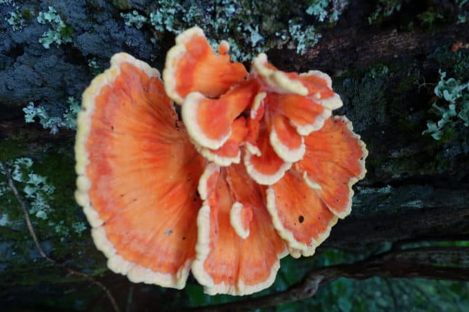
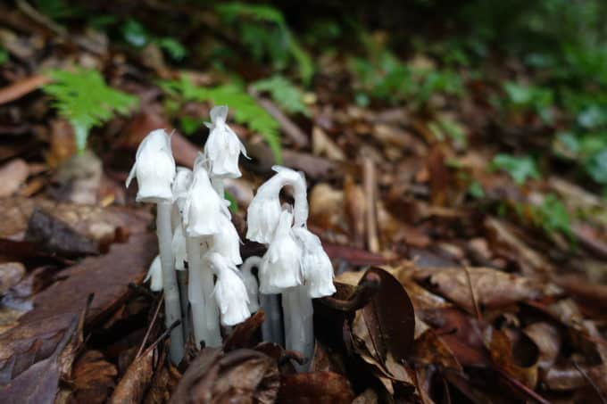
Wildflowers usually steal the show on the forest floor this time of year, but on this hike, mushrooms were the clear winner. I imagine it’s because of the damp spring we’ve had in this region.
I felt sure I’d encounter a bear at some point during the day, but they evaded me. Maybe bears like to stay out of the rain like humans. :-). I did see a good bit of evidence of wild boar along the trail, mainly near and on the Mt. Sterling Ridge Trail.
The solitude factor was high. I only encountered 3 backpackers staying the night at the Laurel Gap Shelter. I was surprised there was no one staying at campsite 39 as it’s a popular backcountry site, since it’s so close to Cataloochee Valley. Perhaps the rain was a deterrent.
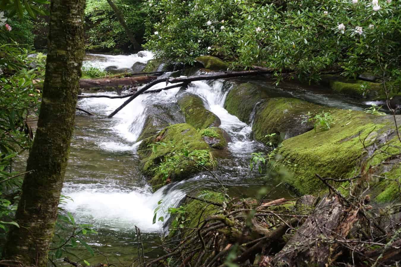
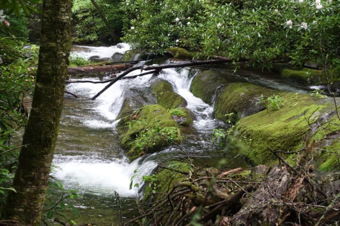
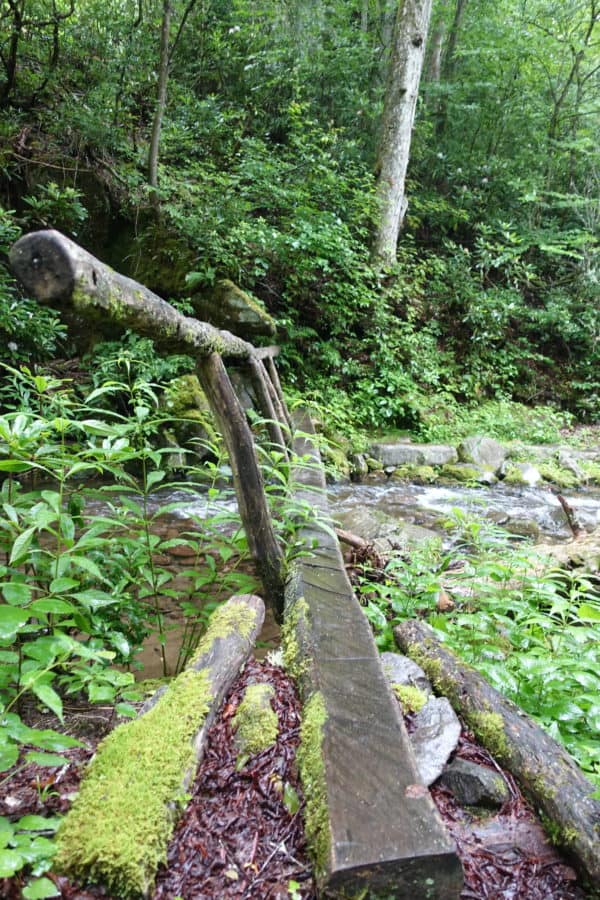
If you’re looking for big mountain views though, save this one for another time. Even on the Mount Sterling Ridge Trail, you are hiking through a heavily forested area. The highlights of this route are diverse botanical finds, stunning creeks and streams, and lush forests such as Spruce-Fir and Northern Hardwood dominating the scene in the higher elevations.
Even though the hike was 16 miles, I wasn’t exhausted by the end and the elevation gain is very manageable for a hike of this distance in the Smokies (2779 ft. of climbing over the entire route). I highly recommend it!
TRAIL REPORT CARD, GPX TRACK, and Photos of the Hike
Overall Grade: A+. I loved every step of this hike.
Mileage: My GPX track indicates a lower mileage than I hiked, because it stopped working for a short stretch. I’m pretty sure my overall mileage came in around 16 miles.
Ascent: 2779 ft. Descent: 2429 ft.
Type of Hike: Loop, which includes a 0.6 mile walk on Balsam Mtn. Rd. which is lightly traveled and very safe to walk on from a traffic standpoint.
Suitability for Kids: Based on the distance of this hike, I only recommend it for for older and fit children.
Dog Friendly: No. Dogs aren’t allowed on trails in Great Smoky Mountains National Park with the exception of the Gatlinburg Trail and the Oconaluftee Visitor Trail.
Permits: No permits are needed to hike the trails in Great Smoky Mountains National Park, but they are required for camping in the backcountry. Reservation information as well as information about the dates Balsam Mountain Road is open can be made on the park’s website.
How to Get Here: At milepost 458 on the Blue Ridge Parkway, turn onto Balsam Mountain Road (also known as Heintooga Ridge Road). Drive 9 miles to the end of the road at Heintooga Overlook (you will pass the entrance to Balsam Mtn. Campground on your left along this road, and they have bathrooms if you need one). At Heintooga Overlook, enter the gravel, one-way Balsam Mountain Road (also known as Heintooga Round Bottom Road). Drive 8.3 miles to the Balsam Mountain trailhead at Pin Oak Gap. There is a pull out and plenty of room for parking. Please note that this is a one-way road and you cannot backtrack the way you came on Balsam Mountain Road. You must continue all the way to the end in Cherokee, NC (which is about 20 miles away).
Resources for Hike:
National Geographic Trails Illustrated Map of Great Smoky Mountains National Park
I carry the 10 essentials in my pack at all times and you should too! If you’d like to know what gear I use and recommend, here’s my gear list.
(click on any photo to be taken to a slide show with captions)
- Umbrella Leaf berries
- Mystical wonderland on the Mt. Sterling Ridge Trail
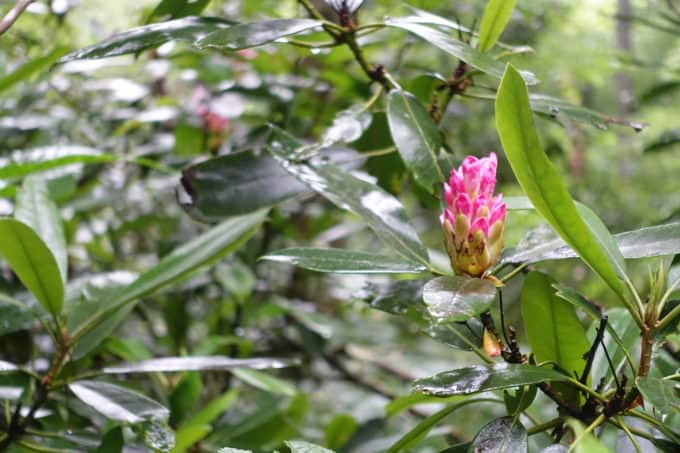
- Rhododendron
- Chicken of the Woods (I think!)
- Indian Pipe (cool story about how it got its name on the video)
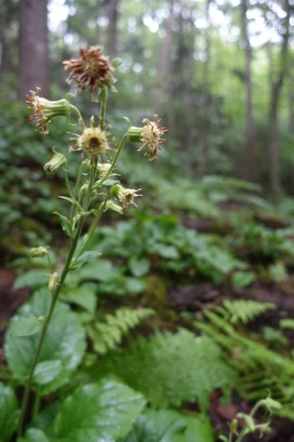
- Rugel’s Ragwort–it only grows in the Smokies!
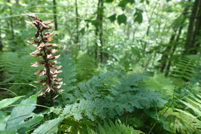
Wood Betony
GPX Track
Feel free to reach out in the comment section below if you have any questions about the route. 🙂
[content-upgrade id=”3163″]
SaveSave
