The following is a trail journal of a 25-mile day hike in the Roan Highlands. I was on a mission to tag three of the 6000 foot summits in the area as well as explore the balds for which this area is famous. I hiked on the Appalachian Trail and the Cloudland Trail to complete this hike.
Grassy Ridge (6160 ft.)
I arrive at Carver’s Gap where the Appalachian Trail crosses highway 261 and start my journey. I hike north on the A.T. towards Grassy Ridge Bald. The trail to Grassy Ridge’s summit is marked and leads me up a well trodden half-mile path, all the way to to the highest point at 6160 feet. A plaque is embedded in a boulder near the actual summit, and I enjoy reading how this spot immortalizes Cornelius Rex Peake, “who operated the highest cultivated farm east of the Rockies and watched over Roan,” per the Carolina Mountain Club’s website.
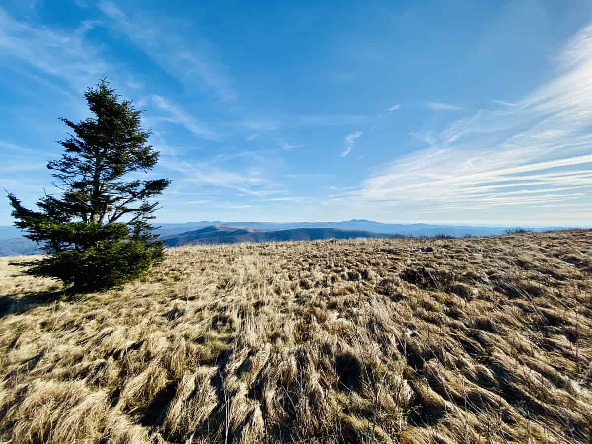
The morning couldn’t have been in any more spectacular!
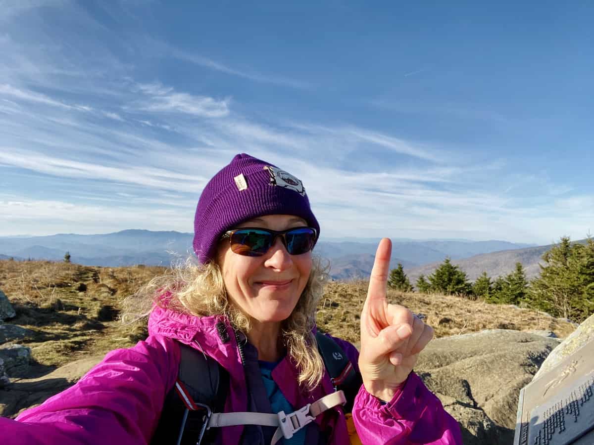
One down, two to go!
It’s breezy and cold, so I don’t linger at the top. Plus, I’ve got several miles ahead of me before I hit the other two summits. My plan is to summit Hump Mountain, turn around, and then head back to Carver’s Gap. From there, I’ll head south on the A.T. to tag Roan High Knob and Roan High Bluff, then return to my car to make the long journey home.
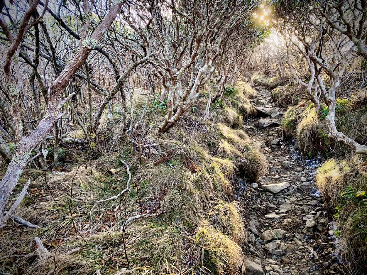
That early morning glow though…
The trail is icy and slick in many spot which slows me down, and I start an internal dialogue with myself:
“Do I have enough time to hike this entire route before it gets dark?”
“Does it matter? Because I can always just night hike out.”
“I should just tag the three peaks and then head back into Asheville to run the million errands that I’m neglecting today.”
“No, I should definitely hike the entire route because I’ll regret it if I don’t.”
And so on. It’s enough to make me nuts, and I briefly debate listening to a hiking podcast to take my mind off the chatter in my head. But I settle it down by focusing on thoughts of thru hiking this trail in 5-6 years, when Larry and I become official empty nesters. I realize how close that really is and how sad it makes me to think of my kids spreading their wings and leaving our nest. Maybe I should listen to that podcast after all.
Safety Snippet: The safest advice I can offer is to leave your ear buds at home, to keep your sense of hearing as sharp as possible on trail; however, I’d be lying if I said I didn’t occasionally listen to a podcast on a long hike. My personal safety compromise is only using one ear bud and keeping the volume very low.
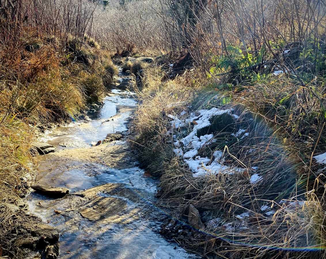
Slippin’ and slidin’ down the trail
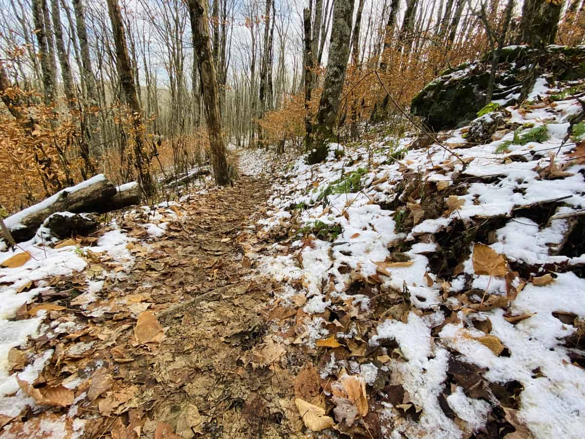
Not quite sure I’m ready for snow yet!
My mind is diverted once again when the trail dives into the woods and I begin my descent down Yellow Mountain. The wooded walk shields me from the wind and I’m thankful for the reprieve. As I traverse through Deep Gap, I pass the Stan Murray Shelter and make a mental note to skip it on my aforementioned thru hike. It’s tiny, I don’t like shelters in general anyway, and this one definitely doesn’t hold much appeal.
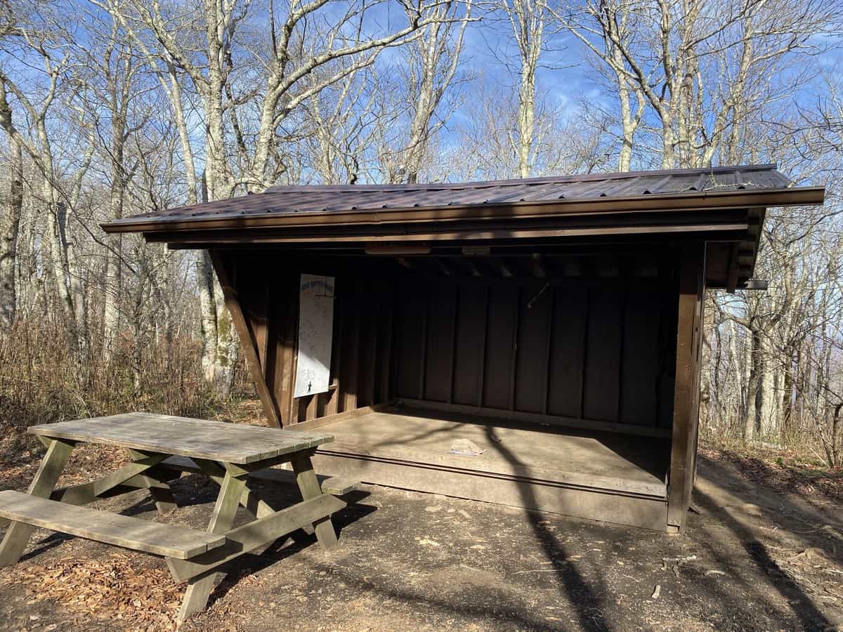
A bit too tiny for my comfort!
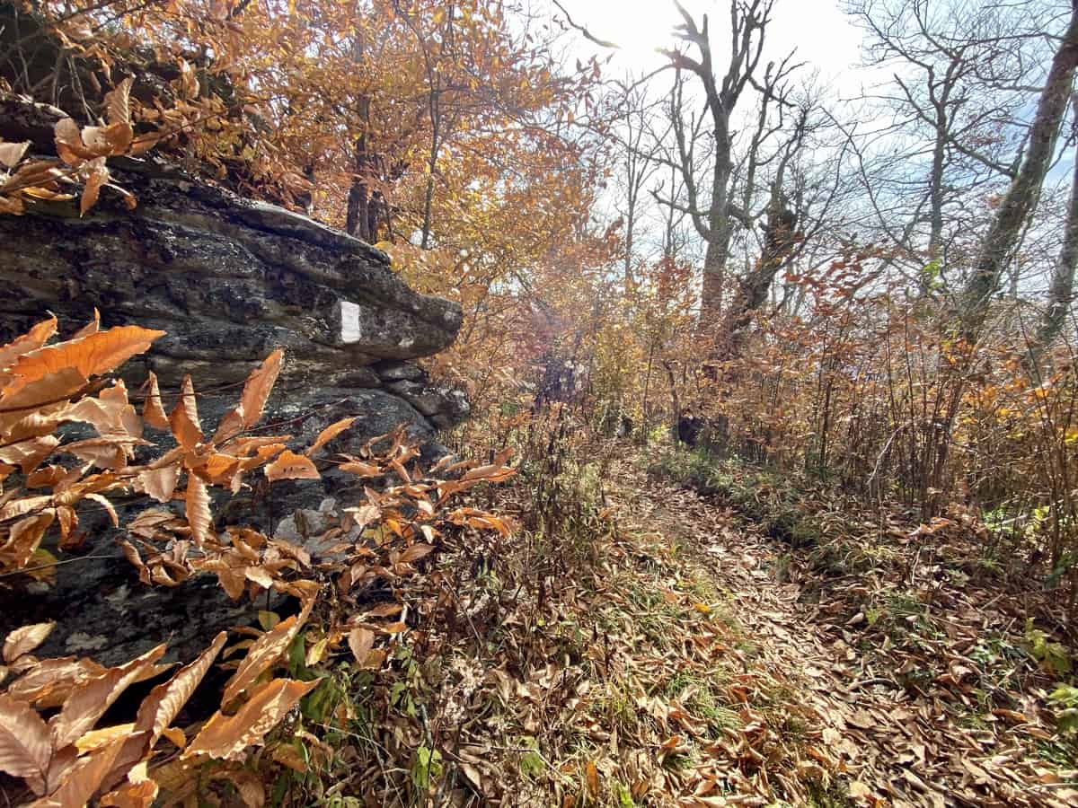
It’s hard to beat a fall walk on the A.T.
A couple of miles later at Yellow Mountain Gap, I meet the turnoff for the famous Overmountain Shelter and decide it’s worth the few tenths of a mile to see it in person, even though its closed indefinitely for structural concerns and I can’t enter it.
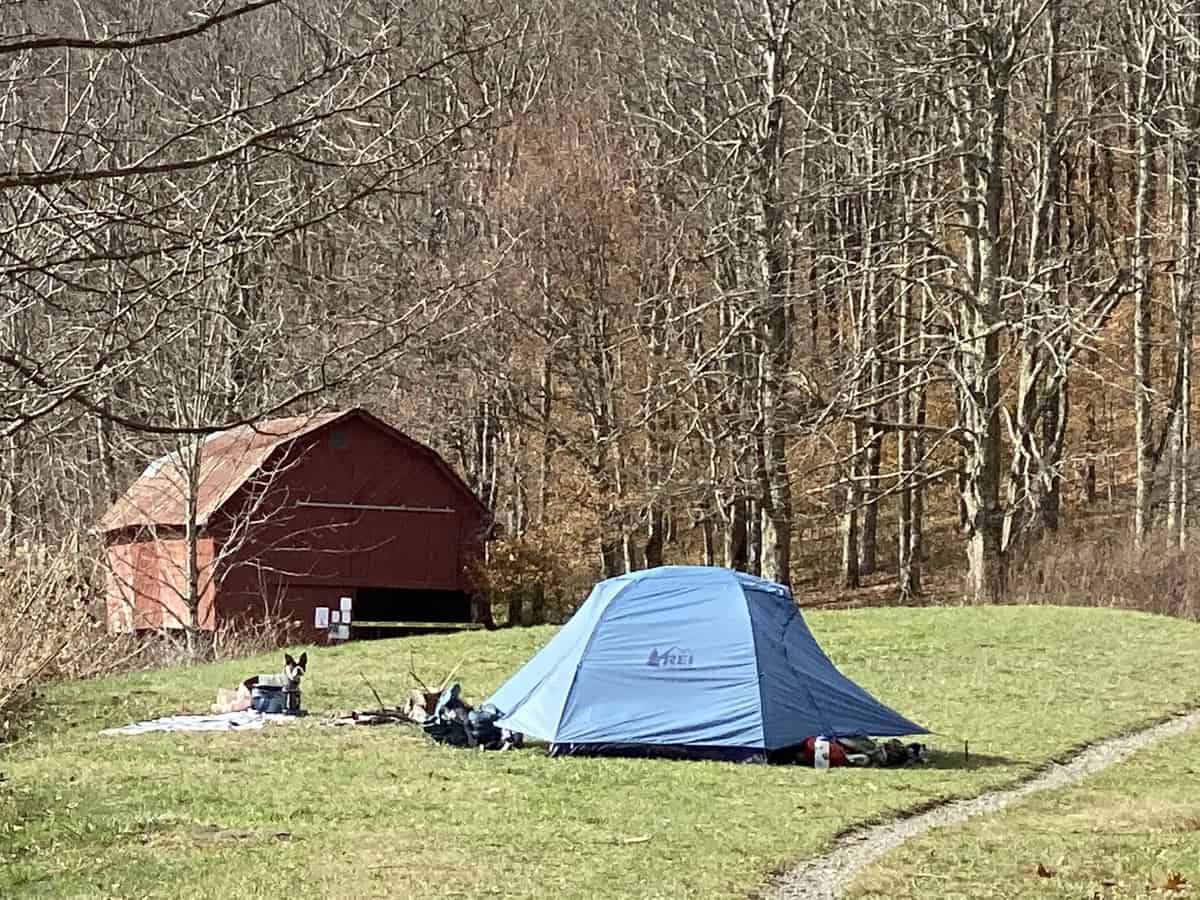
I didn’t even notice the cute Boston Terrier outside the tent when I took this picture. My husband noticed it when he was looking later at the photos (but I did meet this dog on the trail later in the day, with his owners).
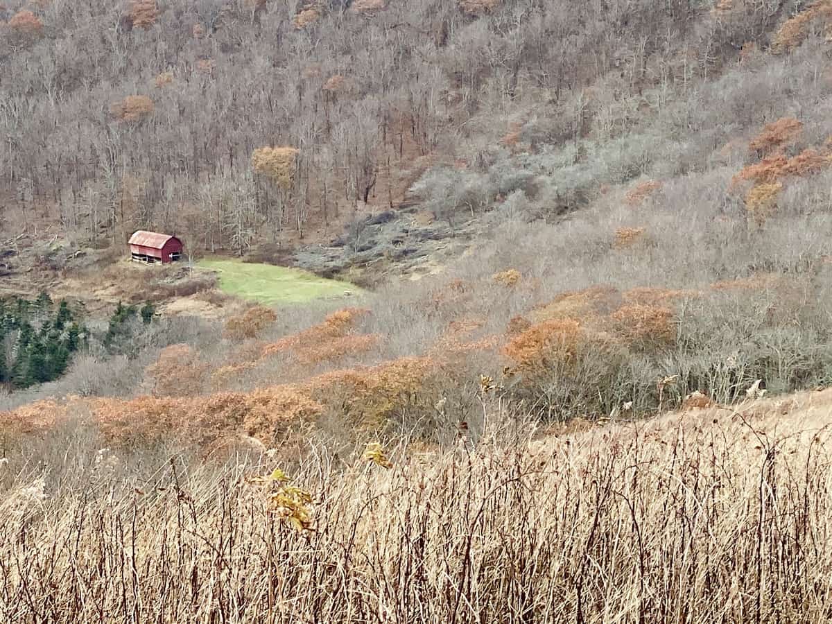
The shelter from the trail, high above it.
After my short visit to the shelter, I start another ascent, this time up Little Hump Mountain. As I begin my ascent I encounter hikers heading south on the A.T. I can almost always guess who’s a thru hiker versus a section hiker on the A.T. The thru hikers have a hungry, intense look in their eyes, their eye on the prize of Springer Mountain in the near-ish distance, after their long sojourn in the woods. The section hikers keep a slower pace, carry a much heavier pack, and appear more laid back about their day.
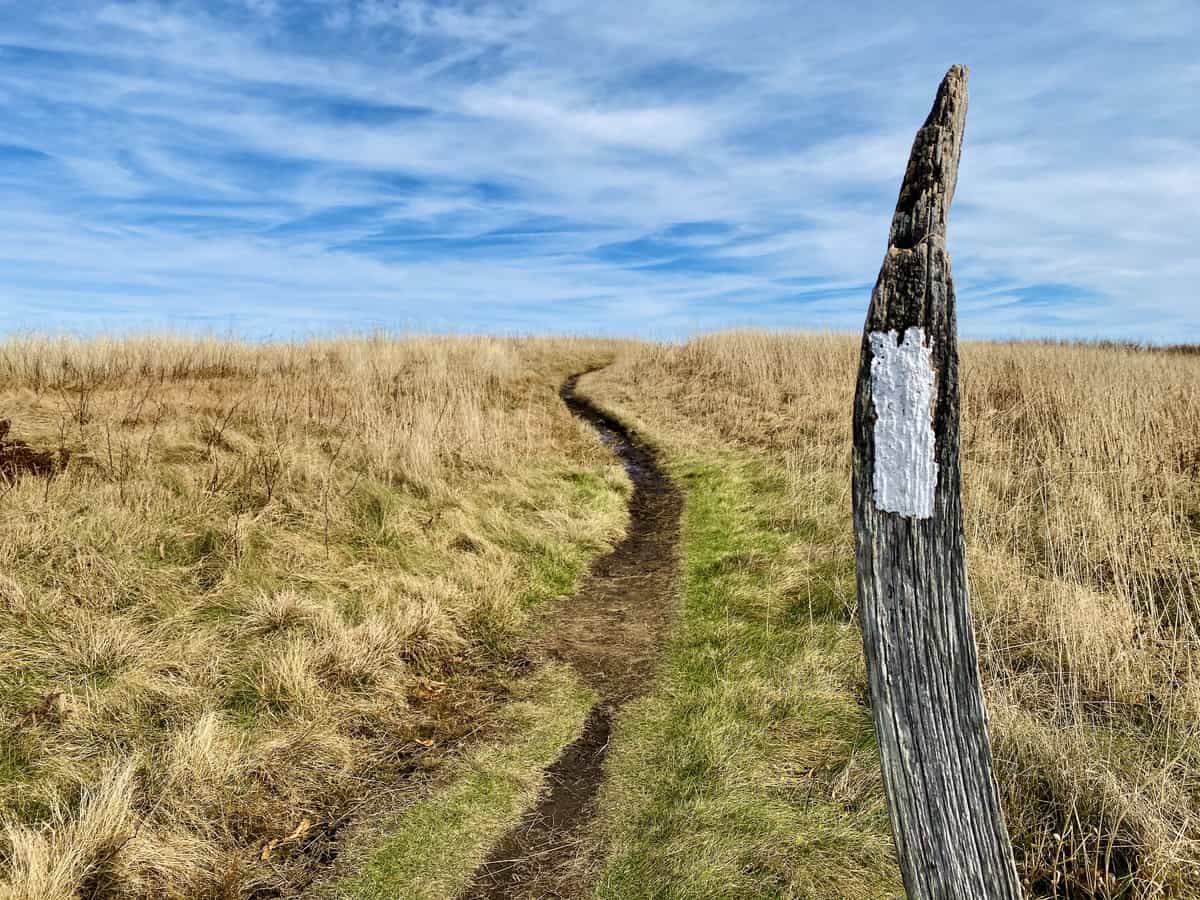
I called this the “Wizard Blaze” because the post resembles a wizard’s hat!
Two of the section hikers I meet are huffing and puffing up Little Hump. They comment on how much quicker I am than they are, and one of them says, “I thought I was in good shape until I saw you gaining on us so fast.” Admittedly, it’s nice to hear these things. I haven’t always been as strong of a hiker as I’ve become. Fast or slow, it really doesn’t matter since we’re all going to make it up the mountain eventually. My middle-aged ego is certainly bolstered by comments like this from younger hikers though, and I walk away with a smile on my face.
After summiting Little Hump, I feel like Hump Mountain is just a hop, skip, and a jump away. But the trail winds itself around the western flank and I find myself in the woods again. When I emerge at Bradley Gap, the trail becomes muddy and slick as ice. I try to walk carefully, but I still fall right on my butt in one spot. I don’t want the young bucks behind me to notice the fall, so I pop back up as quickly as I fell and keep moving!
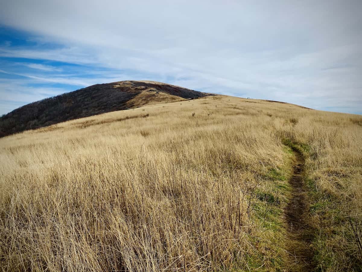
Hump Mountain looks closer and closer
The ascent up Hump Mountain is stunning and I’m rewarded by 360 degree views at the top. I don’t stay long because it’s still windy and cold, so I head down the mountain I just came up, and I start the 9.5 mile backtrack to my car at Carver’s Gap.
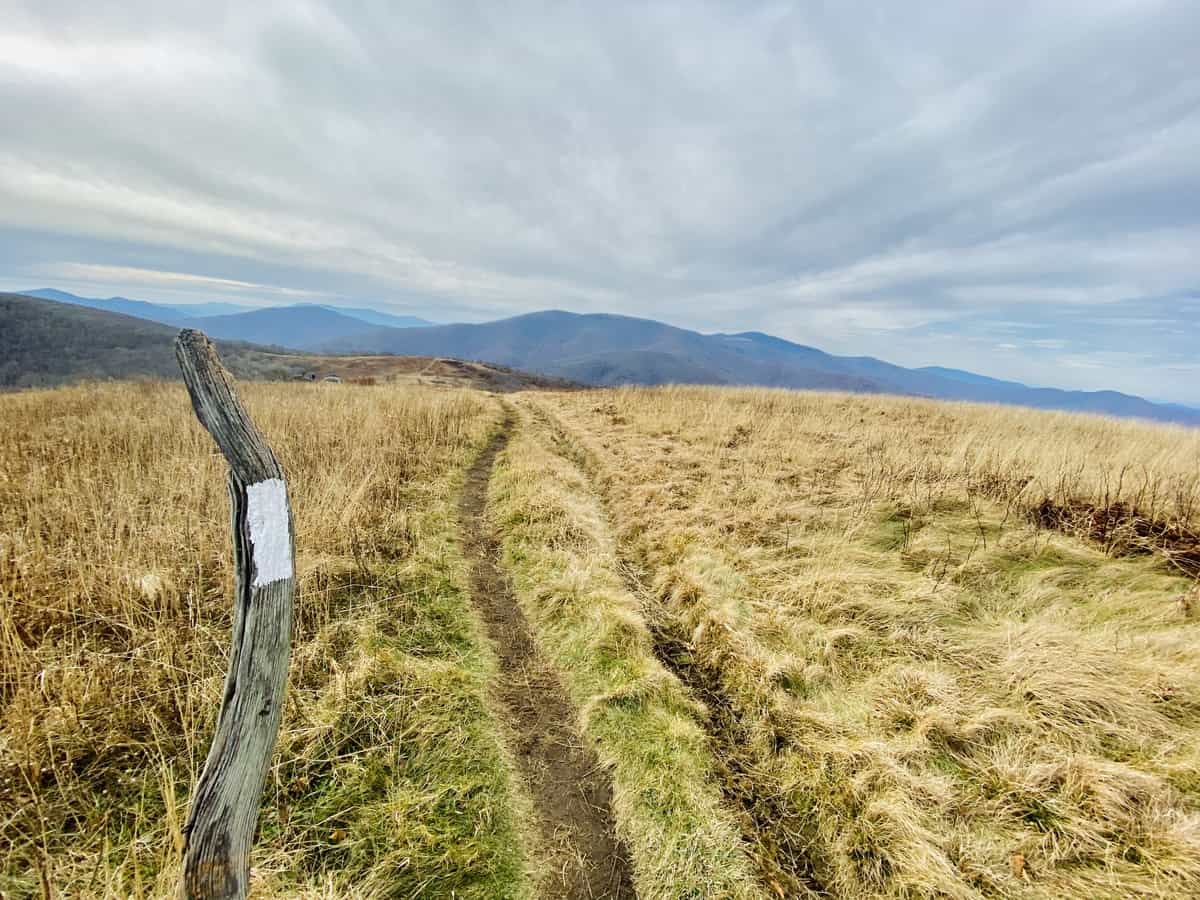
Views for days!
Along the way, I shorten the route slightly by taking a more direct line through the woods in a couple of spots on what appear to be old manways. I enjoy off-trail hiking, and I’m rewarded with multiple deer sightings and the thrill of looking for and finding the well-worn path of the A.T. again, by following a compass bearing and my intuition.
Safety Snippet: Never rely solely on technology if you venture off trail (or even on trail) and don’t venture off trail unless you’re confident in your abilities. Always carry a compass and a map in your backpack and know how to use them together. While GPS technology is nice insurance, I try to always consider it a backup source rather than my primary source of navigational data. Plus it’s fun to shoot a compass bearing and see how well you can follow it for a short distance!
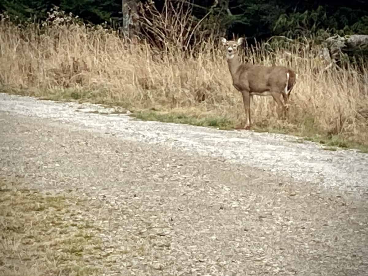
I saw lots of deer on this hike, actually. This one was near Roan High Bluff.
After crossing over Round Bald, the next mountain I will summit, Roan High Knob, looms before me. I scold myself for deciding to tack these two summits onto the end of the day versus knocking them off first. Roan High Knob, my highest peak of the day, looks really big and really tall from my current location!
When I reach my car, I eat a quick snack, camel up on water I have waiting for me, and head back out on the A.T. again toward my next two peaks.
Roan High Knob (6285 ft.)
I get about a quarter mile down the trail when I realize I left my hiking poles in the car! I decide it’s not worth backtracking, but I quickly realize how conditioned my arms are to move with poles. I literally have to cross them when I’m hiking, to not swing them back and forth as if I’m using my poles!
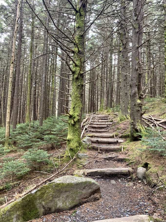
After climbing about 1-1/2 miles through a spruce-fir forest, I reach the turn off to the highest shelter on the A.T., Roan High Knob Shelter. I encounter an older gentleman who reminds me of my late grandfather. We exchange pleasantries and discover that we’re both on the same mission, and he just summited the two peaks I’m about to tag. I can tell he is concerned that I don’t have enough daylight to hike to both of them and return to my car, but I assure him repeatedly that I do (and that I’ll still be fine even if I don’t manage to finish before dark).
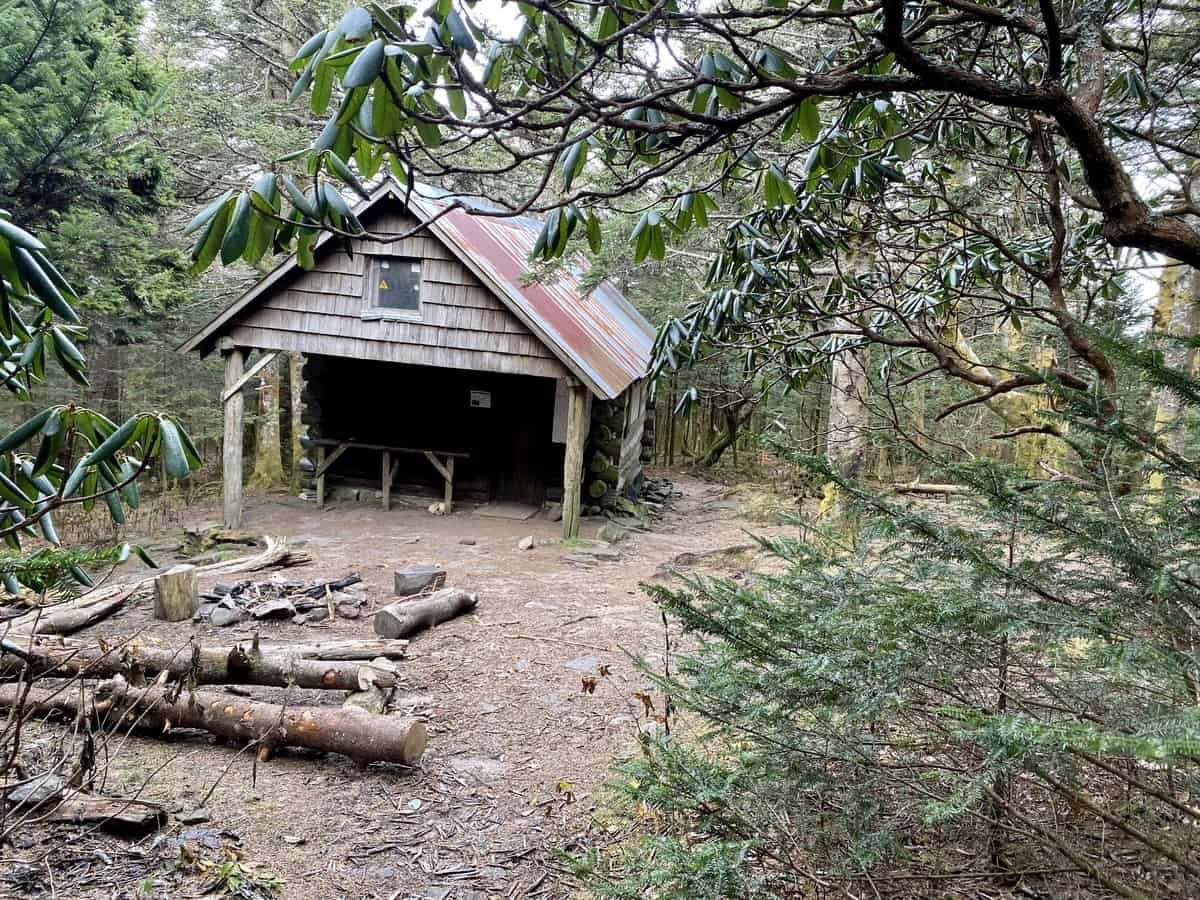
Roan High Knob Shelter was interesting because it was enclosed.
I find the geomarker on Roan High Knob’s rocky summit, take a quick photo, and head towards Roan High Bluff next.
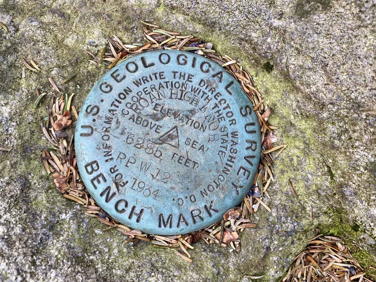
It’s like a treasure hunt, looking for the geomarkers on summits (but they are not always on the true summit, just FYI).
Roan High Bluff (6267 ft.)
To reach this summit, I continue my hike another half mile on the A.T. until I reach the border of the famous rhododendron garden paths. It’s a fee-use area, but it’s essentially a ghost town in the off season since its closed to visiting cars.
The Cloudland Trail passes beside parking areas for nearly half its distance. I quickly reach the summit, or at least close enough to the summit on an observation platform (the true summit nearby is off limits per the posted forest service signs, to allow for protection of threatened and/or endangered species). I set my camera up to take a photo, and head back out.

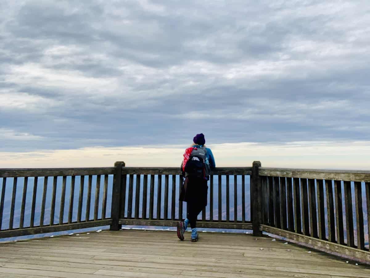
I decide to take the road back to my car, since it’s a slightly shorter distance and I can avoid a descent on rocky and somewhat icy trail without my darn poles!
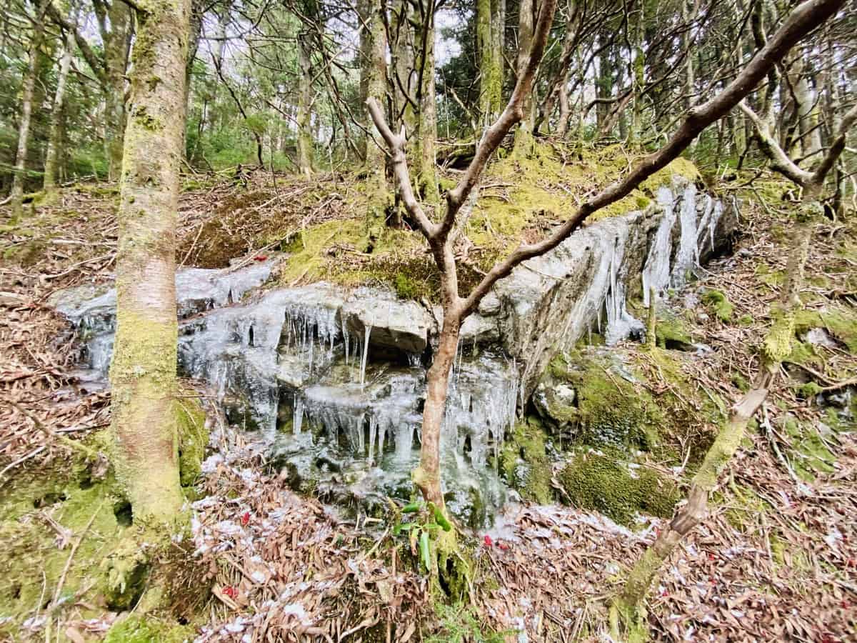
Lots of ice both on the trail and off in the higher elevations
At one point during the road walk, I decide to see what jogging feels like. When my kids were younger and I couldn’t untether myself from them for long hikes, I trained for and ran lots of half marathons and several marathons. I got a bunch of cool t-shirts out of the deal, but I sufficiently burned myself out on running in the process. I never loved it anyway, and I definitely don’t love it now. So I stop and continue hiking at a clip that’s nearly as fast as I was running anyway.
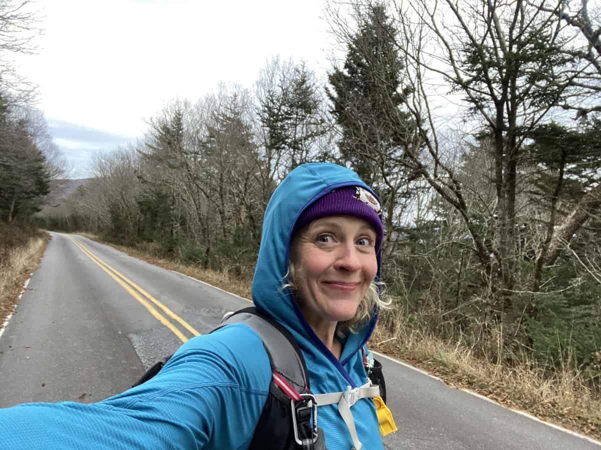
Much happier taking my time with a road walk vs. a jog!
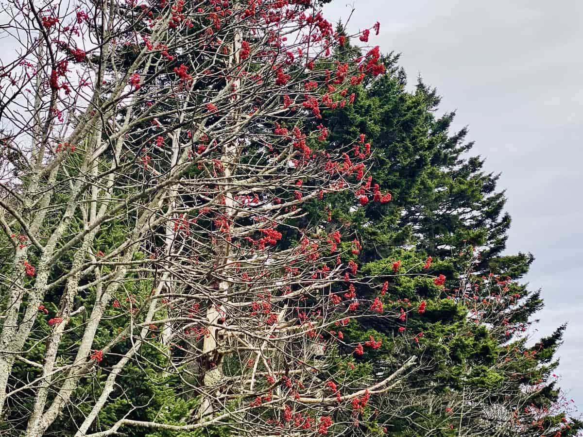
Never underestimate the beauty of a road walk when the road is closed to cars.
Before I know it, I’m back at my car and heading out. Except that I don’t have a cell signal and can’t quite remember how I got here. I see enough landmarks along the way to know where to turn off one road and onto another, but I eventually miss one turn and end up hopelessly lost. I pull over in one of many Free Will Baptist Church parking lots (I see so many of this type of church I start wondering if I’m making a big circle with my directionless driving pattern!).
I pull out my old school U.S. atlas I keep in my car and try to figure out my general location. I have to use my phone’s camera to zoom in on the atlas, to see the numbers of the smaller state roads (note to self: I need reading glasses!), but I still can’t figure out where I am exactly. So I keep driving aimlessly and eventually pick up a tiny signal to put in my address. I’ve been driving for over an hour and Siri tells me I still have two to go, which is nearly double what it took to get here this morning! Ugh! I discover that I’ve crossed into Tennessee and have to laugh at how far off course I’ve gotten!
I eventually make it home and revisit the trip through the photos I took on my new phone (an iPhone 11 Pro, which I absolutely love in comparison to my previous antiquated and dying iPhone 6!). I edit my photos and share the details of my adventure with my sweet husband, who is always willing to listen to me ramble on about them.
TRAIL REPORT CARD and GPX TRACK
Mileage: My mileage clocked in at 24.9 miles but you could make this hike much shorter by stopping where it feels appropriate for you. My suggestion for a shorter day hike, assuming you’re not tagging peaks in the SB6K Challenge, would be to hike to the summit of Hump Mountain and return back to Carver’s Gap. If that’s too long still (it would be ~19 miles), turning around at the Stan Murray Shelter would be a nice walk, combining the 360-degree scenery of the balds with some forest walking too.
Potential Hazards: I would skip this hike if there is any threat of thunderstorms in the forecast. You’re very exposed in many areas along this route.
Suitability for Kids: I think kids would really enjoy a walk across the balds!
Dog Friendly: Yes, dogs are allowed in this area (but I recommend keeping dogs on a leash while hiking).
Permits: No permits are needed to hike or camp along this stretch of the A.T., or in the shelters .
Navigation Resources
South Holston and Watauga Lakes (Cherokee and Pisgah National Forests) Map
The Carolina Mountain Club’s website offers a nice printable map of the SB6K peak area (scroll to the bottom of this page to find the link to it)
If you are interested in using Gaia, you can get a 20-50% discount off a Gaia subscription (and I highly recommend it). I use it for both SAR and personal use exclusively.
Recommended Gear
I carry the 10 essentials in my pack at all times and you should too! If you’d like to know what gear I use and recommend, here’s my gear list.
Other Resources
There is a bad ass woman gridding the SB6K peaks named Caet Cash (Woodswomyn). What does “gridding” mean, you might ask? It means she is hiking every single SB6K peak in every single month of the year….and her goal is to do it in one calendar year. It’s insanely awesome and her Instagram posts are absolutely poetic.
My friend Johnny makes fun videos of his hiking trips and he made a great one about his trip to the Roan Highlands to tag the SB6K peaks which you can find right here.
Happy trails,
Nancy (Seal Mom)
P.S. I also invite you to join my Facebook Group, where I post the best deals on quality hiking/backpacking/camping gear that I can find, but I also provide education on outdoor safety topics, based on my SAR operations. It’s a fabulous group of people and I like to think of it as one of the nicest Facebook groups out there. 🙂
[content-upgrade id=”3163″]
