Trail Journal
As I work on hiking all the trails in Great Smoky Mountains National Park, there are a collection of pesky trails bordering the Tennessee side of the Park that have been on my radar to for years. Due to their length, they lend themselves to shuttling cars at both ends to avoid backtracking a relatively long distance, so they’ve been on the back burner. But finally, the perfect opportunity showed itself when my friend Lane was leading a hike in the same area and offered to help me with the shuttle.
I arrive at Roundtop’s trailhead on Wear Cove Road and start my day’s walk in the woods. The trail climbs gently initially and I can tell some maintenance has been done recently as there are lots of clippings on the trail from vegetation that lines it.
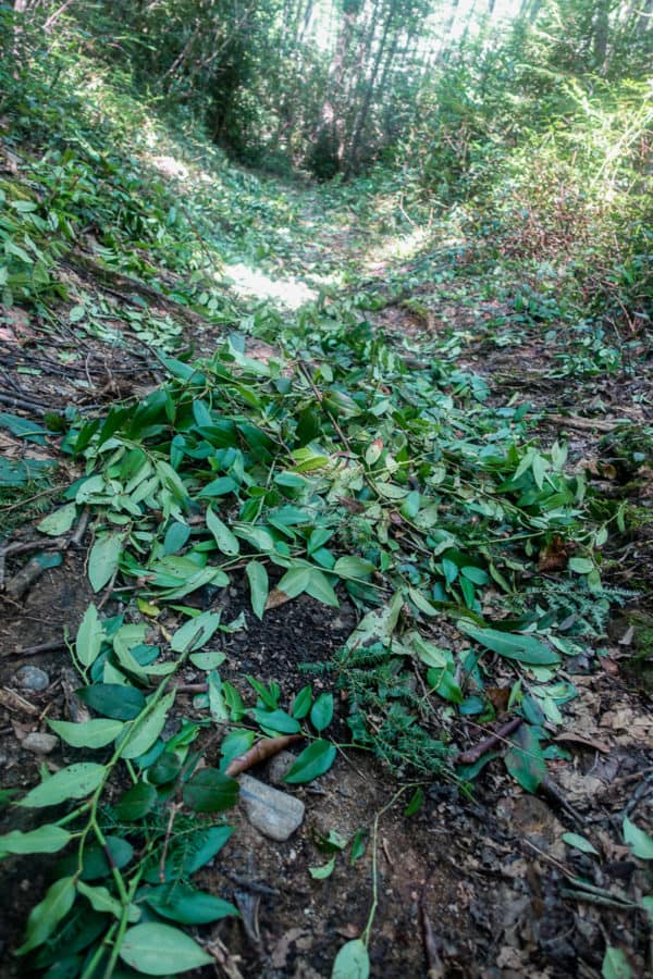
So happy to start the day on a cleared trail!
I make my way up and hear voices ahead of me. So that’s who’s been breaking all the cobwebs for me! I quickly discover there is no one on the trail, but they’re on the decks of their mountain homes, which line the Park’s boundary. I imagine them having their coffee and mapping out a fun summer’s day.
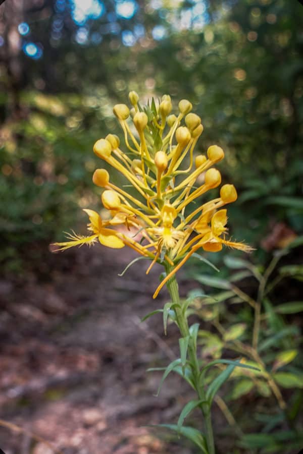
Orange-Fringed Orchid (I’ve seen more of them this year than I ever have in the Smokies)
Soon enough I hear voices again, but this time I do see people on the trail. It’s two women who are having a good ol’ time talking up a storm, and they have no idea I’m approaching them. As soon as I’m about to say, “Excuse me, I don’t want to scare you as I’m approaching,” one of the women turns her head in my direction and shrieks! I feel so bad, but we all have a good laugh about it. They are about 100 miles into marking their own map of the Smokies and I wish them well as I continue on.
The rest of Roundtop passes rather easily and quickly, other than the sections that are fairly overgrown, and I’m even treated to a cute bear cub looking at me from high up in a tree. I take a quick photo and move along gently, so as not to upset his mama who is likely nearby.
Can you see the trail? Neither could I. 😉
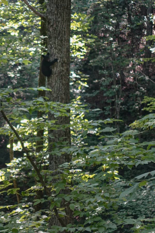
Little cutie pie!
Soon, I’m approaching the Townsend “Y” (or “Wye” depending on the source you’re reading) from high above on the trail. The Y shaped intersection of Little River Road and Lamar Alexander Parkway are what give this spot its name. The night before, I posed a question in my favorite Facebook group about the Park’s trails to ask about the water level in the Little River, which is not “little” at all sometimes after a good rain.
I’m directed to this website which gives me fabulous information about water levels and flow, and my friend Johnny (who has as great YouTube channel about his outdoor adventures) is kind enough to drive to the Wye the night before my hike, to send me pictures and give me his thoughts. Plenty of other people chime in with very helpful tips too. I just love the Smokies hiking community and how much we watch out for each other.
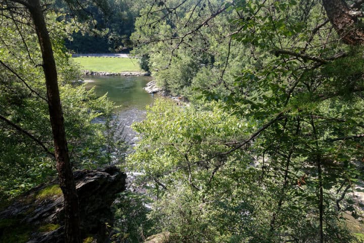
The Townsend Wye from high above
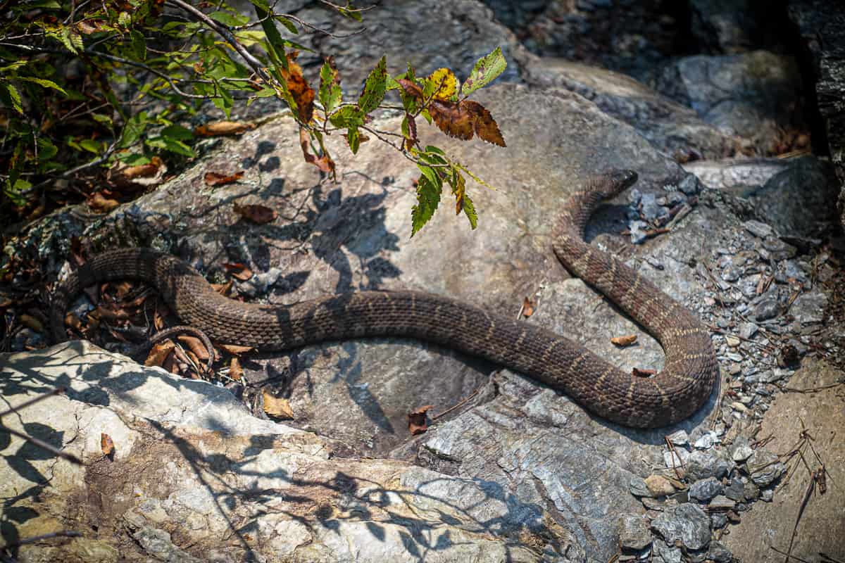
I’m relieved as I look at it from my rocky perch and watch people crossing it safely (it’s a popular local hangout). As I start to descend, I nearly step on a big Northern Water Snake basking in the sun on a rock. He sits still long enough for me to snap a quick picture and then darts under another rock.
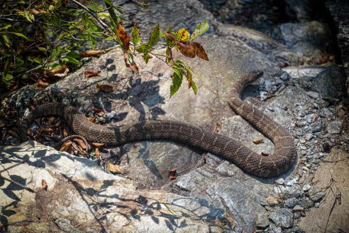
Water snakes are often confused with copperheads, but this is definitely a water snake.
I make my way to the river’s edge and discover the most shallow place to cross is upstream from the Wye where I find an old bridge anchor still in the ground, just as someone told me in the Facebook group. The current is a bit stronger here, but it’s much more shallow and never over about knee high, so I feel confident crossing it. It’s refreshing and I’m safely on the other side in no time, heading back into the woods onto Chestnut Top Trail.
Safety Snippet: When hiking trails in the Smokies with stream crossings that could potentially be hazardous, it’s always best to do a bit of legwork before your trip so you’re not forced with turning around on your hike. The “dollar map” you can get any visitor center has all the most potentially dangerous crossings listed at the top, so I always cross reference it as I’m planning out my hikes (as well as look at my maps for notations about potentially dangerous spots). This is a great article about fording streams safely.
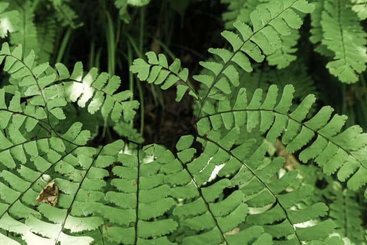
Maidenhair Ferns are my fave. There are lots of them that line the beginning of Chestnut Top Trail.
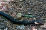
Chestnut Top Trail climbs for the first couple of miles, but then levels out and is a peaceful, wooded ridgeline walk. I am cruising along at an efficient pace when I see yet another snake in the distance. This time it’s a black rat snake. He’s taking up nearly half the trail (he’s really long!) and in no hurry to move. He is much more compliant about having his picture made than the water snake was, so I take several. Another hiker is approaching from the other direction and he is startled to see the snake there, since he just passed through the way I’m heading a few minutes prior. We walk around our lazy reptilian friend and bid each other a good hike.
Safety Snippet: If you encounter a snake on a trail that seems unfazed by your presence and unwilling to move, just give it a wide berth and walk around it. Obviously if it’s a venomous snake (rattlesnake or copperhead in the Smokies), you’ll want to give it a big space, so it doesn’t have room to strike and hit your leg as you pass by!
- At first, I thought he was a big branch across the trail!
- He was as curious as I was at one point.
- Snakes are so cool
Shortly after, I reach the turnoff to Schoolhouse Gap Trail and head to the right to hike the stretch from this trail junction to Schoolhouse Gap’s trailhead nearby (if you commit to hiking all the trails in the Smokies, it means you have to hike all of the trails!). The trailhead starts on a gravel road with a home nearby. There is a picnic table at the trailhead and I decide to stop and eat my lunch before continuing.
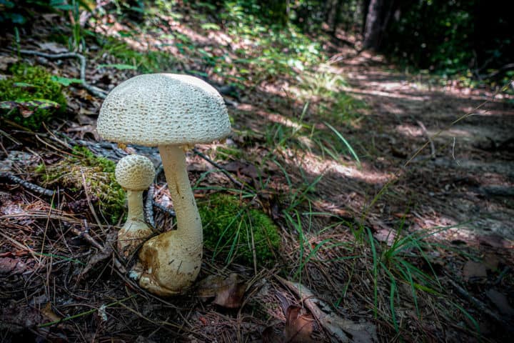
Mama mushrooom and baby mushroom. 🙂
After lunch, I head down Schoolhouse Gap and am reminded of my time at Great Smoky Mountains Institute at Tremont, when our “Plants” class went to Whiteoak Sinks for a visual feast of wildflowers. I pass the turnoff for the Sinks and continue on, passing a few hikers along the way.
Schoolhouse Gap quickly ends and I cross over to Bote Mountain Trail and make my ascent up towards West Prong Trail. It’s rocky and not my favorite trail in the Park, so I’m thankful I don’t have to hike its full length. I turn down onto West Prong and it’s smooth sailing all the way to Tremont. I pass campsite 18 along the way and find multiple tents and packs hung on bear cables, but I see no people. It’s a large site and looks quite peaceful.
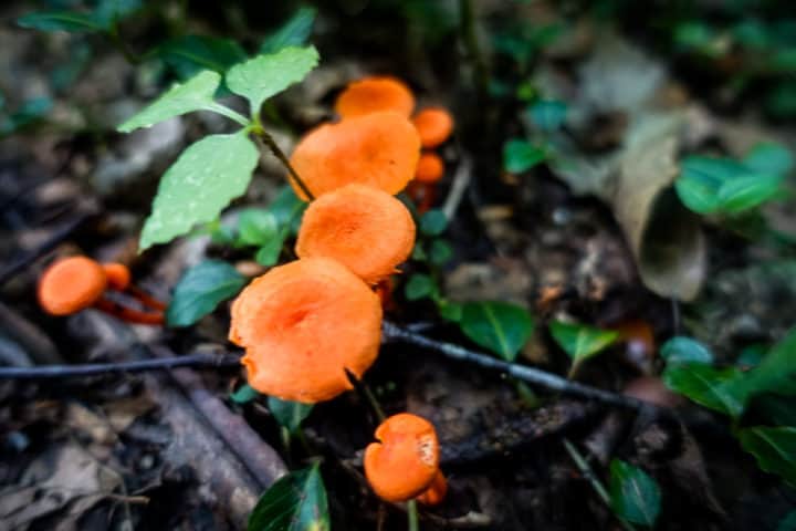
Lots of cool mushrooms on this hike
I cruise into Tremont where my friend Lane has just come off the trail after leading a beginner’s hike. We drive back to my car and then head to Elkmont’s campground, our home for the night (we’re both hiking in the Park the next day, and it’s much easier to stay in a campground versus driving back to Waynesville, where we both live).
Lane wants to head into Gatlinburg for some grub. Five Guys is his favorite post-trail fast food, and I’m happy to find some non-meat options on the menu (essentially a loaded cheeseburger without the meat!). What I’m not happy about is the amount of people in town. It’s nuts with summer vacationers and I’m ready for the tranquility of Elkmont again as soon as we finish dinner.
We return to the campground and I regret not finding an ice cream place in Gatlinburg (but the crowds were sucking the good mojo right out of me!). Lucky for us, Elkmont has a small camp store and they sell ice cream! We both treat ourselves to a Snickers ice cream bar and then pour over our maps.
It’s so much fun spending time with a hiking buddy who loves geeking out over maps and data as much as I do, and I’m so lucky to have a friend like Lane in my life (we’re search and rescue team members together too).
As we’re studying our maps, I hear a screeching sound above us. I look up and it’s a Barred Owl who is calling to another nearby owl. It’s not their typical “Who cooks for you” hoot, and I later learn this type of call is often a territorial one, which makes sense since there are two of them going back and forth. They continue for awhile and I’m able to get some video and photos of the one in our campsite before they both fly off.
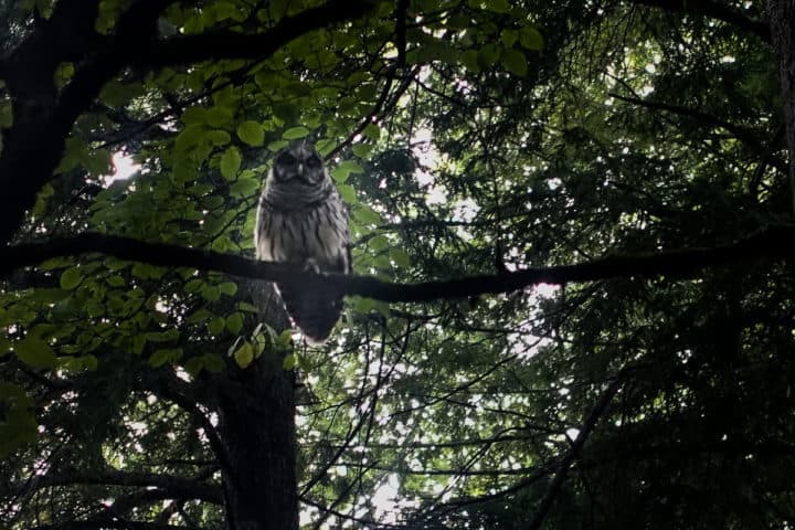
Our Barred Owl friend in our campsite
Darkness finally descends and we tear ourselves away from our maps and head to our tents for some shuteye, excited for our respective hikes the following morning.
TRAIL REPORT CARD and GPX TRACK
Mileage: 19.3 miles
Type of Hike: One way. To avoid backtracking, this makes a great shuttle hike since the start and ending points are relatively close to each other by car.
Potential Hazards: The water crossing at Little River can become very dangerous in high water conditions. Make sure you do some research before starting this hike, to make sure it’s safe, since your only choice if it’s not is to backtrack to your car 7.5 miles.
Suitability for Kids: This was a long hike overall, but I think it would be fun to hike Roundtop only as a one-way shuttle with kids who can handle a 7.5 mile hike, since there is the reward of water fun in the Little River at the end!
Dog Friendly: No. Dogs aren’t allowed on trails in Great Smoky Mountains National Park with the exception of the Gatlinburg Trail and the Oconaluftee Visitor Trail.
Permits: No permits are needed to hike the trails in Great Smoky Mountains National Park, but they are required for camping in the backcountry. Reservation information for backcountry website the park’s website. And clearly, you shouldn’t park in the Cade’s Cove Picnic Area if you plan to backpack this route.
National Geographic Trails Illustrated Map of Great Smoky Mountains National Park
I carry the 10 essentials in my pack at all times and you should too! If you’d like to know what gear I use and recommend, here’s my gear list. I also invite you to join my Facebook Group, where I not only post the best deals on quality gear that I can find, but I also provide education on backcountry safety topics via Facebook Live events. It’s a fabulous group of people and I like to think of it as one of the nicest Facebook groups out there. 🙂
My Gaia Tracks from This Hike
If you are interested in using Gaia, you can get a 20-50% discount off a Gaia subscription (and I highly recommend it). I use it for both SAR and personal use exclusively.
[content-upgrade id=”3163″]
