Trail Journal
The older I become, the more I understand the importance of safe hiking practices. It’s a combination of experience and my time on on a SAR team, so I approach my solo off-trail hikes, especially in the cooler seasons, with a healthy dose of “what could go wrong” and an even healthier one of “what can I do to mitigate the risks?” For this particular hike, I knew one summit was a step or two off the Appalachian Trail. Easy peasy. Mount Chapman, however, would require a short bushwhack to the summit in snowy, cold conditions.
I packed my bag with all my essentials and a bit more gear I reserve for winter hikes, on the remote chance I end up spending the night in rugged, off-trail terrain, deep in the Smokies, where it would take a SAR team longer to reach and extract me, should I need it. Yes, the risk is minimal, but we have to do what we can to help ourselves out of an unexpected jam. That applies to all of life, no?
Mt. Chapman
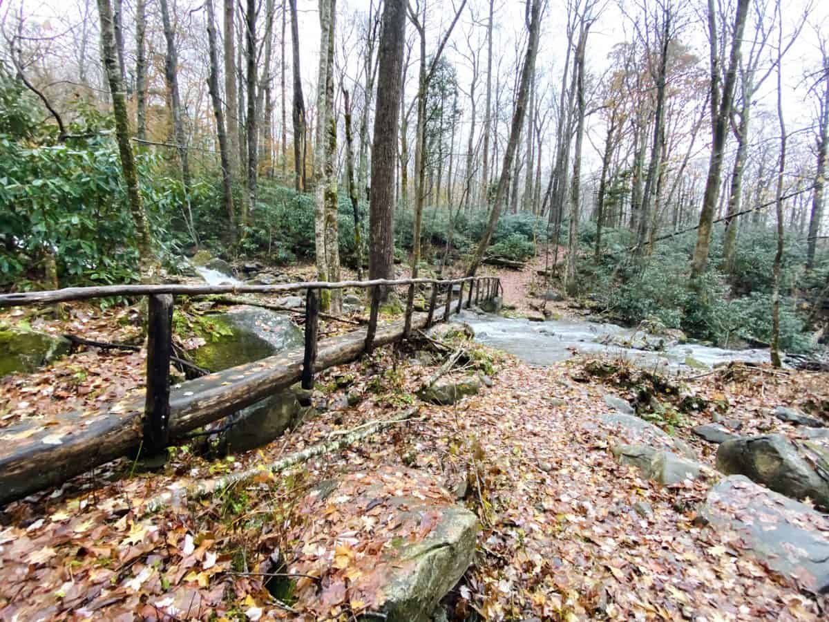
I start my hike under damp conditions, the rain from the previous night leaving the trail slick and muddy in many places. Snake Den Ridge is a long, nearly 5-mile slog to its junction with the Appalachian Trail, but I know it well after traversing it many times so the climb doesn’t come as a surprise, thankfully.
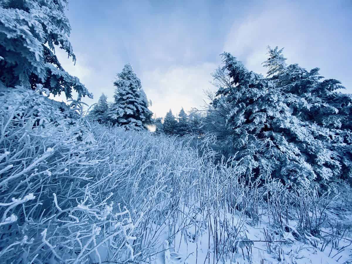
A couple of miles in, I reach the snow line. There is a distinct and abrupt demarcation in the landscape, signifying enough elevation gain to turn precipitation into white flakes versus cold rain. It’s a winter wonderland almost as soon as it starts, and I’m spellbound as I climb, the trees coated with their limbs bowing in reverence to the power of Jack Frost.
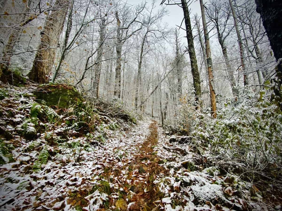
The winter wonderland begins
I see no footsteps but my own and whatever woodland critters chose to traverse the trail before me. Rabbits and birds aren’t in my sight, but there’s plenty of evidence that they were here. I make good time ascending, even though I’m hiking slower than my normal pace with more careful foot placement. The water crossing of Inadu Creek is frigid. I rarely take my shoes off for creek crossings, but I have no choice when its this cold to stave off frostbite.
Safety Snippet: There are all sorts of ways to handle creek crossings in regard to “water shoes.” I typically trudge across water crossings in my quick drying trail runners; however, in below freezing temps, I replace them a designated shoe in my pack (I typically bring Crocs but hope to invest in a pair of Bedrock or Xero shoes soon since they have a bit more tread). The important takeaway it to think it through before leaving home, based on the temperatures and what you might encounter. I never recommend crossing water barefoot though.
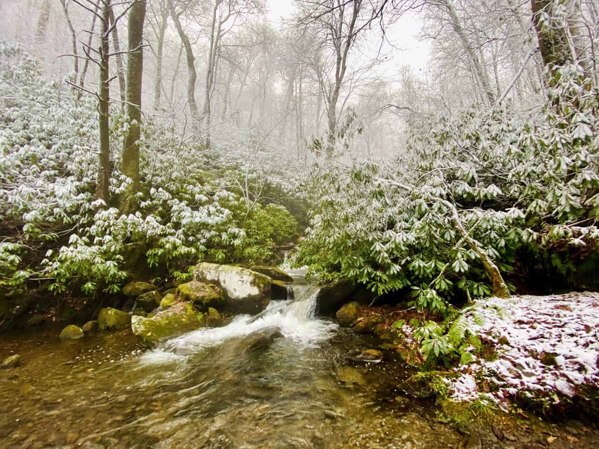
Inadu Creek
When I reach the trail junction with the A.T., I still haven’t seen another soul, but I’m greeted with unmistakeable evidence of their presence recently: multiple shoe tracks in the snow. I wonder if I’ll come across any of them as I hike. Will they be like me–day hikers out for a stroll? Or southbound thru hikers, with their eye on the prize of Springer Mountain, some 220ish miles away from this spot.
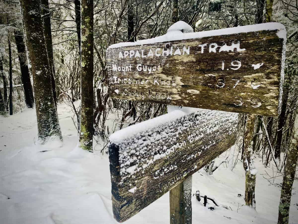
As I approach the northern flank of Old Black, I see a backpacker in the distance. His heavily laden backpack is nearly proof that he’s not a thru hiker. By now, they’ve shed anything other than what’s essential to keep them alive, leaving all those once attractive luxury items in hiker boxes far, far away from this point. He is in fact just a section hiker, and we speak briefly before he lets me pass since he’s walking slower than I am.
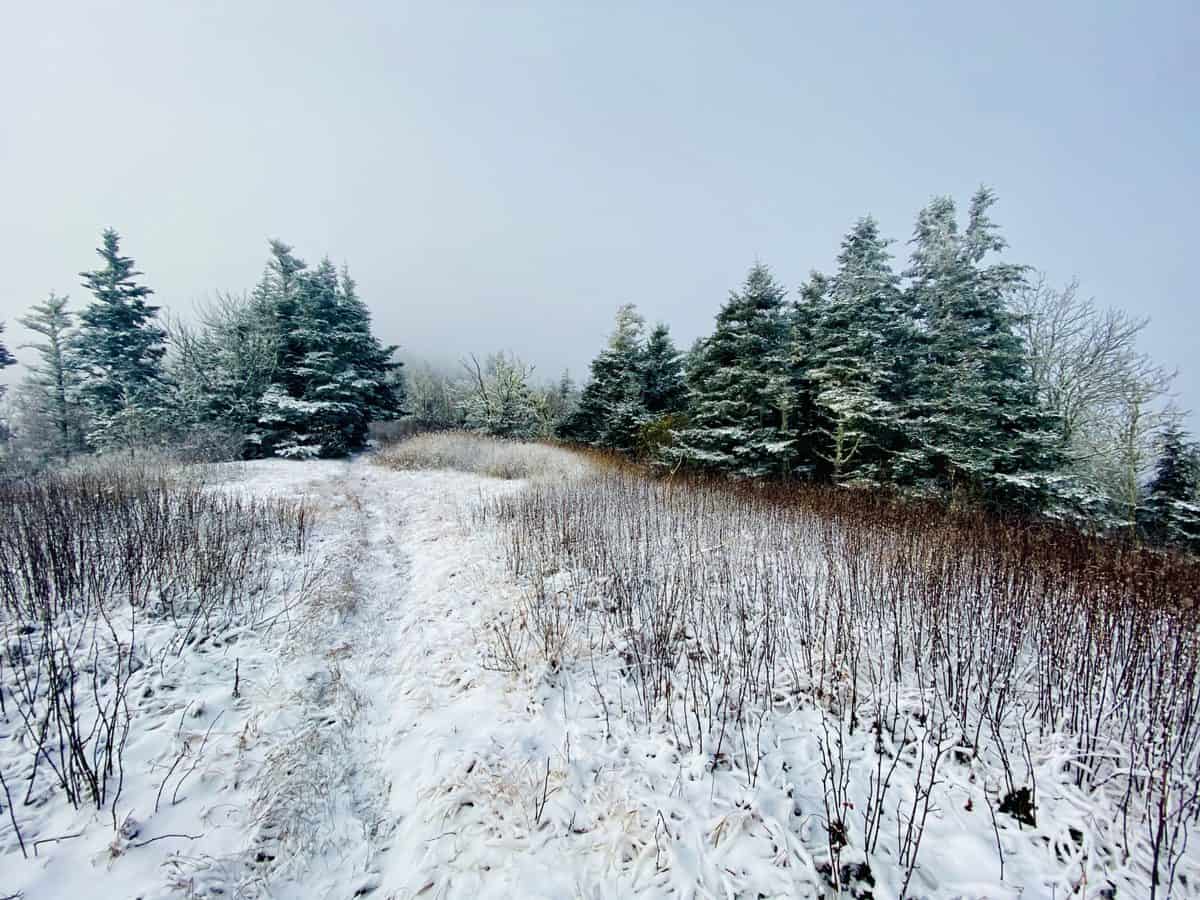
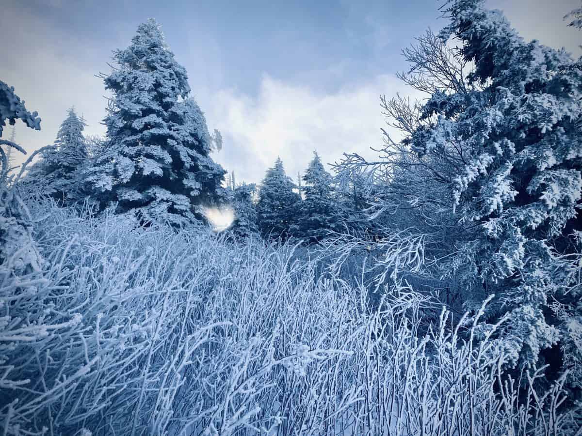
As I traverse below Mt. Guyot’s massive and broad summit, far below on the A.T., I’m spellbound by the snowy scene. I love this stretch of the A.T., and it never fails to enchant, with its tall stands of spruce and hemlock skeletal remains, lined up like sentinels on either side of the trail.
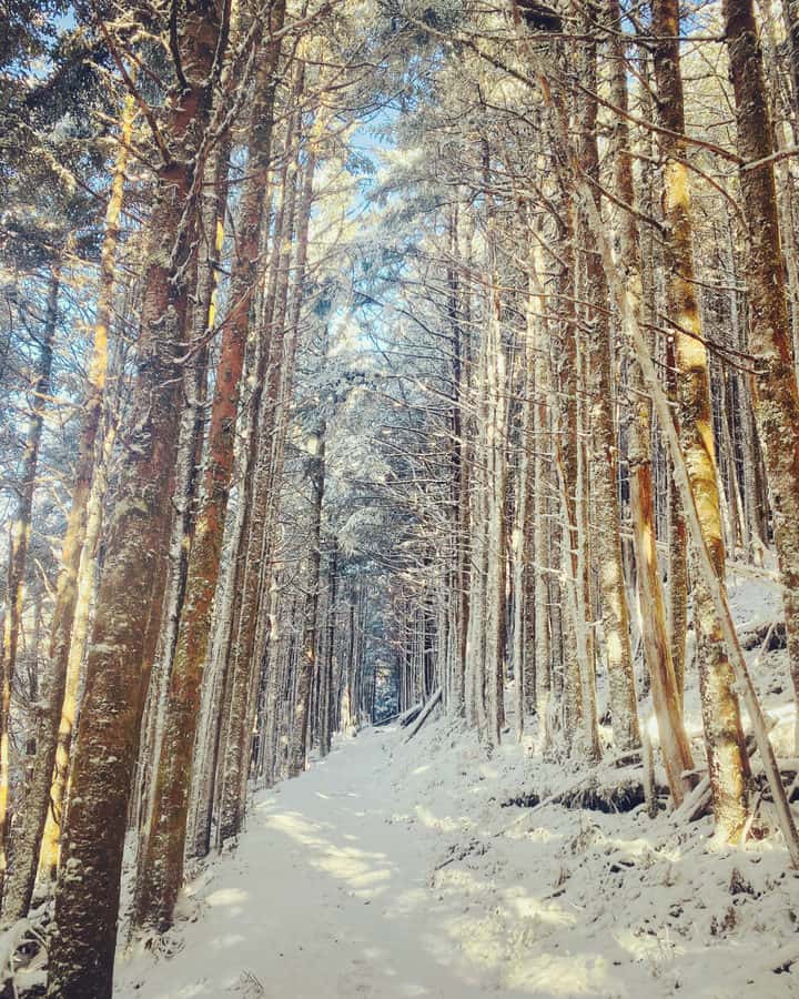
There’s quite a bit of ice in the form of frozen puddles along the trail, and I must step carefully to avoid slipping, while trying to take in the scenery around me. I get through it safely, and soon thereafter I arrive at the junction of Tricorner Knob Shelter. I stop briefly at the shelter, to add layers back to my now shivering body. What a difference a couple of thousand feet in elevation gain makes, especially when you’re not exerting as much effort.
Safety Snippet: Hiking in winter is often an exercise in patience, as layering and delayering clothing is a constant battle. Your end goal is to stay as dry as possible under the clothes you’re wearing (and to keep your clothes as dry as possible), but you don’t want to shed so many layers that you’re too cold. It’s a balancing act at all times, but I can’t stress how important it is to be mindful of the task.
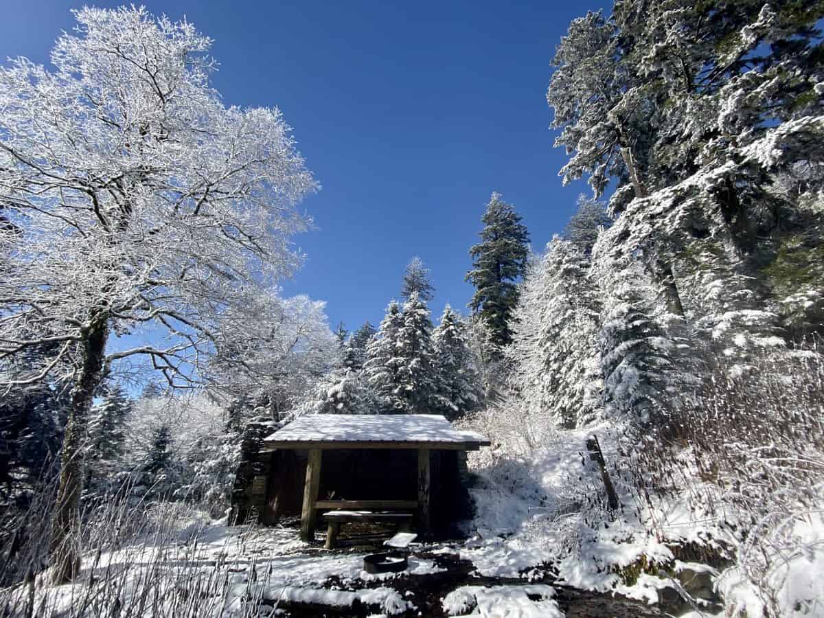
Tricorner Knob Shelter
I only have a couple of miles to go before I reach Mt. Chapman, and it’s a relatively easy stretch of the A.T., comparatively speaking. I find a fairly open spot at its northeastern flank to start my ascent and duck off trail to start my off-trail climb. It’s open and forgiving initially, but as I get closer to the summit I find myself navigating through a few small boulder fields and unknown depths of snow between deadfall. It’s an easy place to snap an ankle or a leg, so I methodically pick my lines and cautiously place my foot with each step.
Since starting this challenge, I’ve become more proficient at tagging these summits, still heavily relying on navigational tools like my map, compass, and even my GAIA app, but equally on my senses, especially my sight. If I take a compass bearing and follow it, always looking for a higher spot than where I am and walking towards it, I generally know I’m on a path that will take me to my goal. And that’s exactly what I do with Chapman.
I find myself at the small summit cairn on , with a million dollar view to my north of Guyot, its formidable girth filling up my view. The fog has lifted and the clouds have parted, so I decide to bask in a picture perfect view to sit down and eat a quick snack.
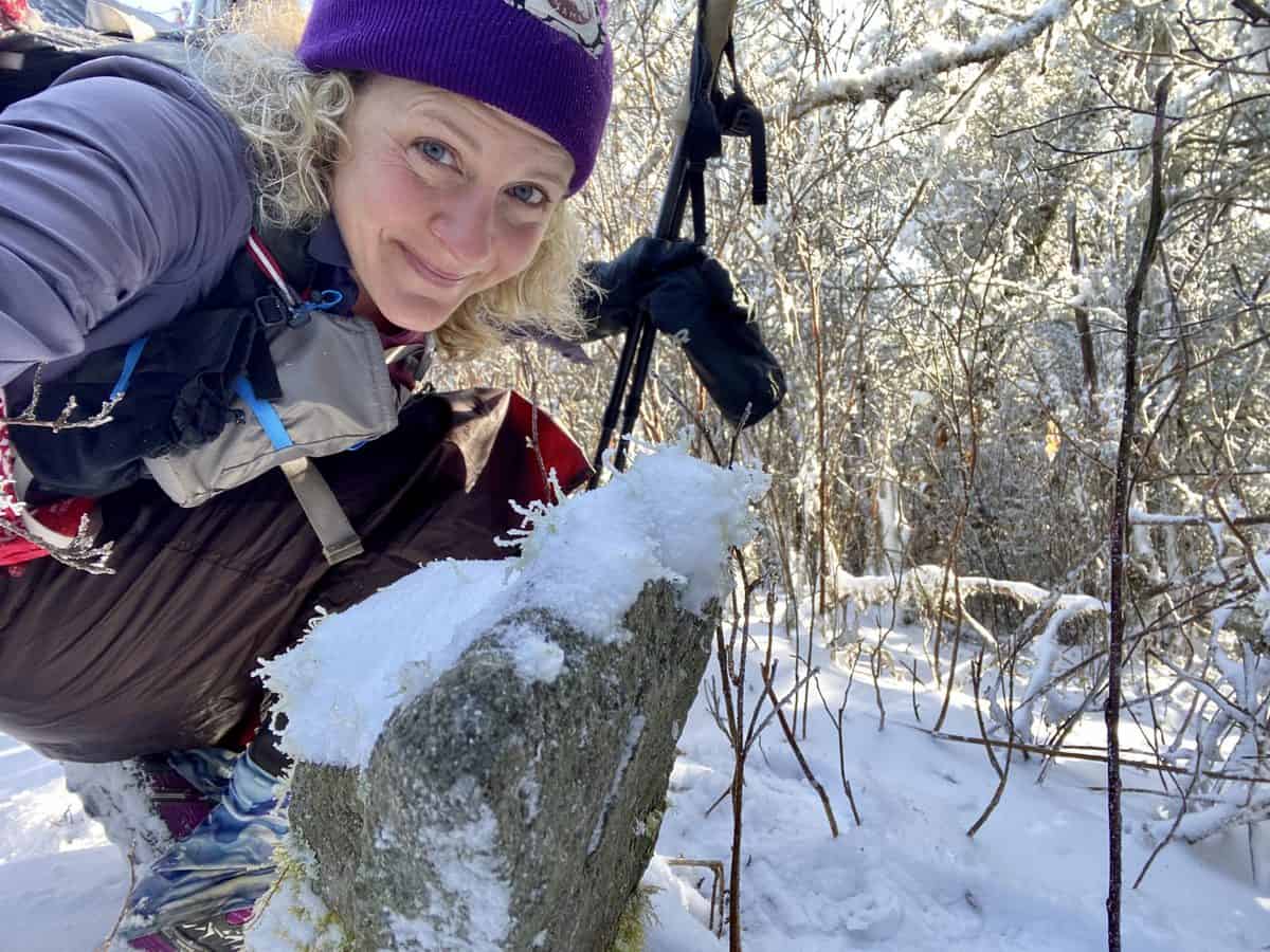
Success!
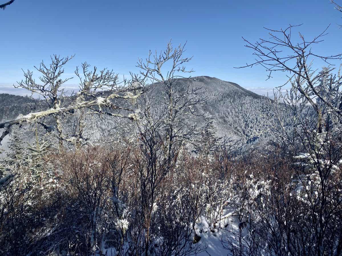
Guyot in the distance.
As I eat, I deliberate the idea of heading to Mt. Sequoia. My initial plan was to only hike to Chapman and backtrack, but I’ve made better time than expected and decide to add the 2-mile round trip to Sequoia’s summit. I message Larry, my husband, since I have reception, letting him know my modified itinerary.
I descend in a southeasterly direction and it’s a more challenging line, with dense stands of trees blocking much of my path. If only I could lose those 10 pesky pounds that refuse to budge, maybe I’d fit! But for today, it’s a comical endeavor of carefully analyzing the terrain just ahead of me, guesstimating which trees I can squeeze through successfully, oftentimes backtracking to pick another spot because I’m too thick or wide, especially with my pack on!
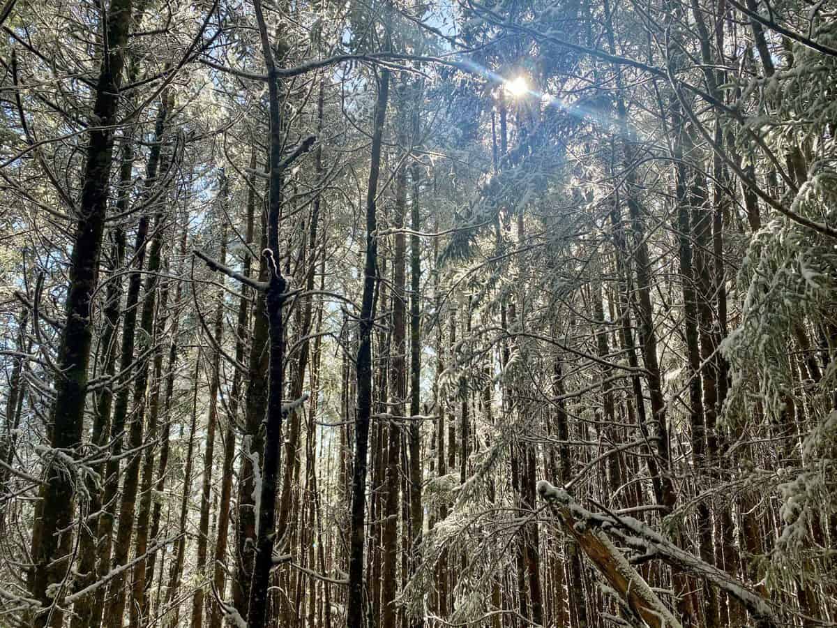
Hmmm, can I squeeze through ANY of these?
When I reach the trail, I find myself laughing as I slide down the final short pitch on my butt in the snow, since it’s at a steep angle and I can’t walk down it. What a sight it would be if someone saw this crazy woman sliding down the mountain, right back onto the trail!
Mt. Sequoia
As I continue heading towards Mt. Sequoia, I follow the tracks of what appear to be an adult and a child. I want to come across the people leaving them, curious to know who they are and how old the child is, but I never do. The mile walk goes by quickly and I find myself standing at the highest point on the trail, looking for anything signifying a summit cairn a few steps off trail. But everything is buried in snow, so I watch my altimeter as I rove around the area and take my best guess at the actual summit.
SB6K Summit Tip: This was my second trip to tag Sequoia’s summit. The first attempt was derailed when I mistook a false summit for Sequoia’s actual summit. You can read about that snafu right here if you’re interested (and want to learn from my mistake).
After tagging Sequoia, I backtrack exactly the way I came, meeting a couple of thru hikers along the way. They’re tired but motivated, pulling big days now to reach their goal. I give one my phone number, as he’s interested in possibly moving to the area after he finishes the A.T. I’d love nothing more than to help him find his way in a place I’m so fortunate to call home.
Side note: After this hike, I actually connect with one of the thru hikers serendipitously on Instagram! I commented on someone’s post about the SB6K Challenge, who just happens to be a real-life friend of Drew’s (@mrantonisse), and he recognized me from my profile!
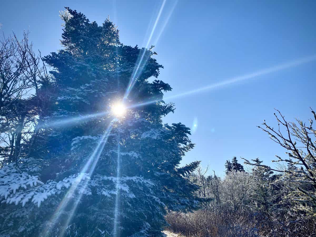
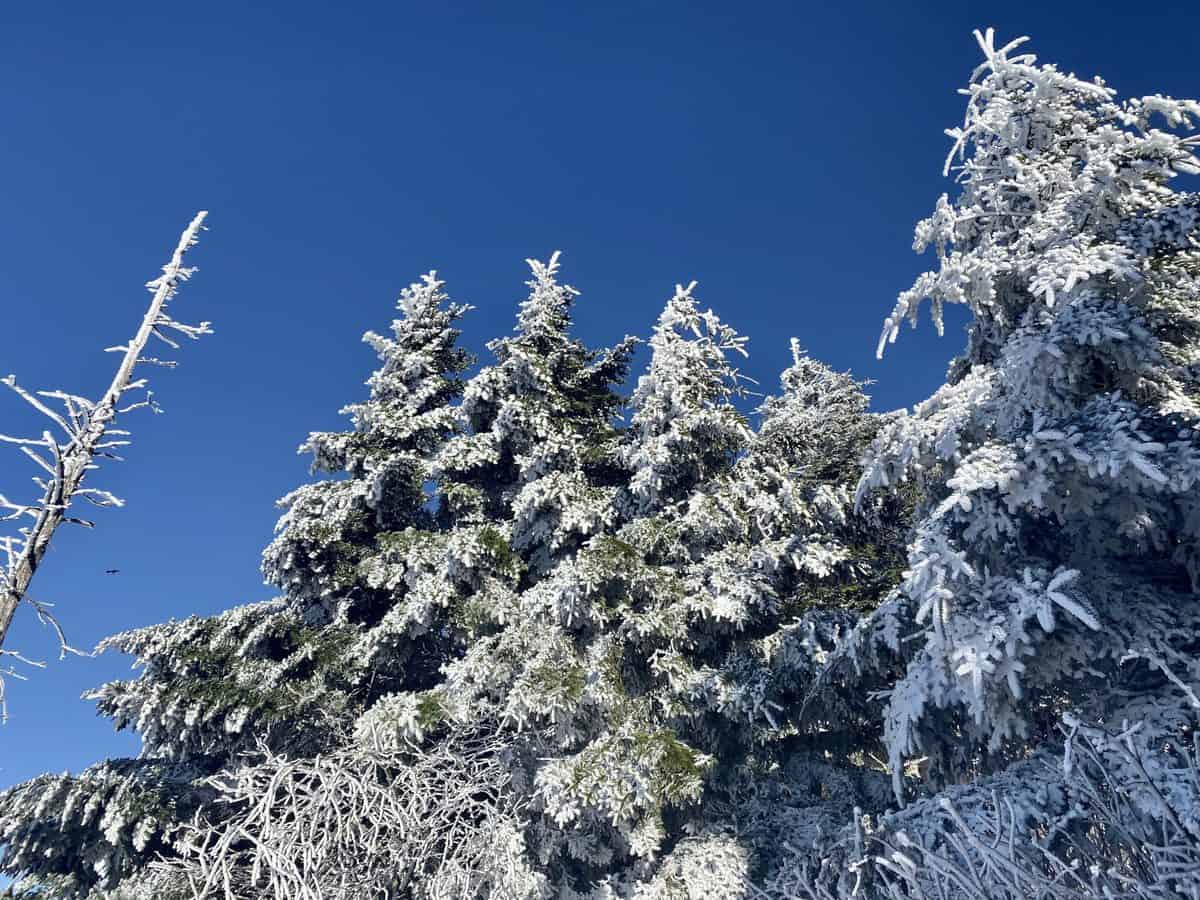
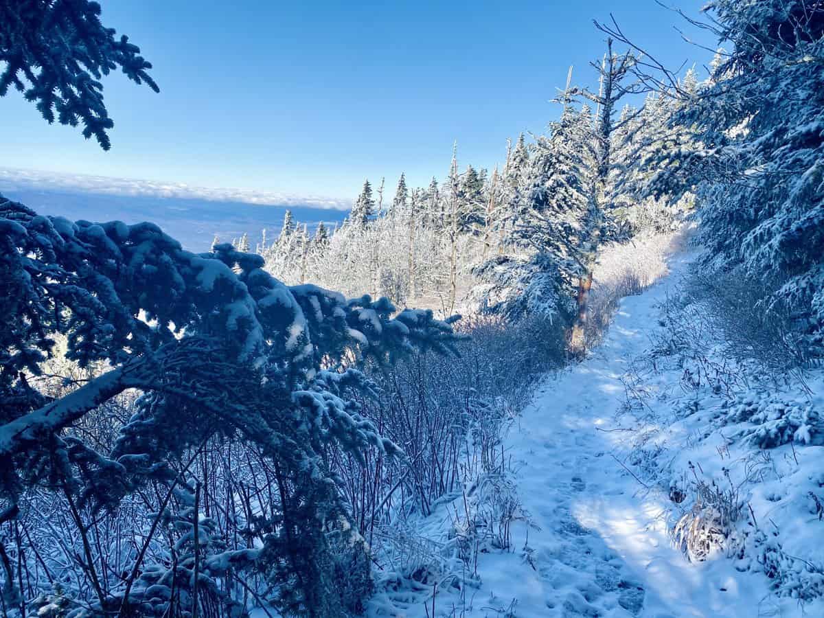
What a spectacular day!
The miles tick by quickly on the way down, and I’m sad to leave my winter wonderland, but grateful for a day well spent in my second home.
TRAIL REPORT CARD and GPX TRACK
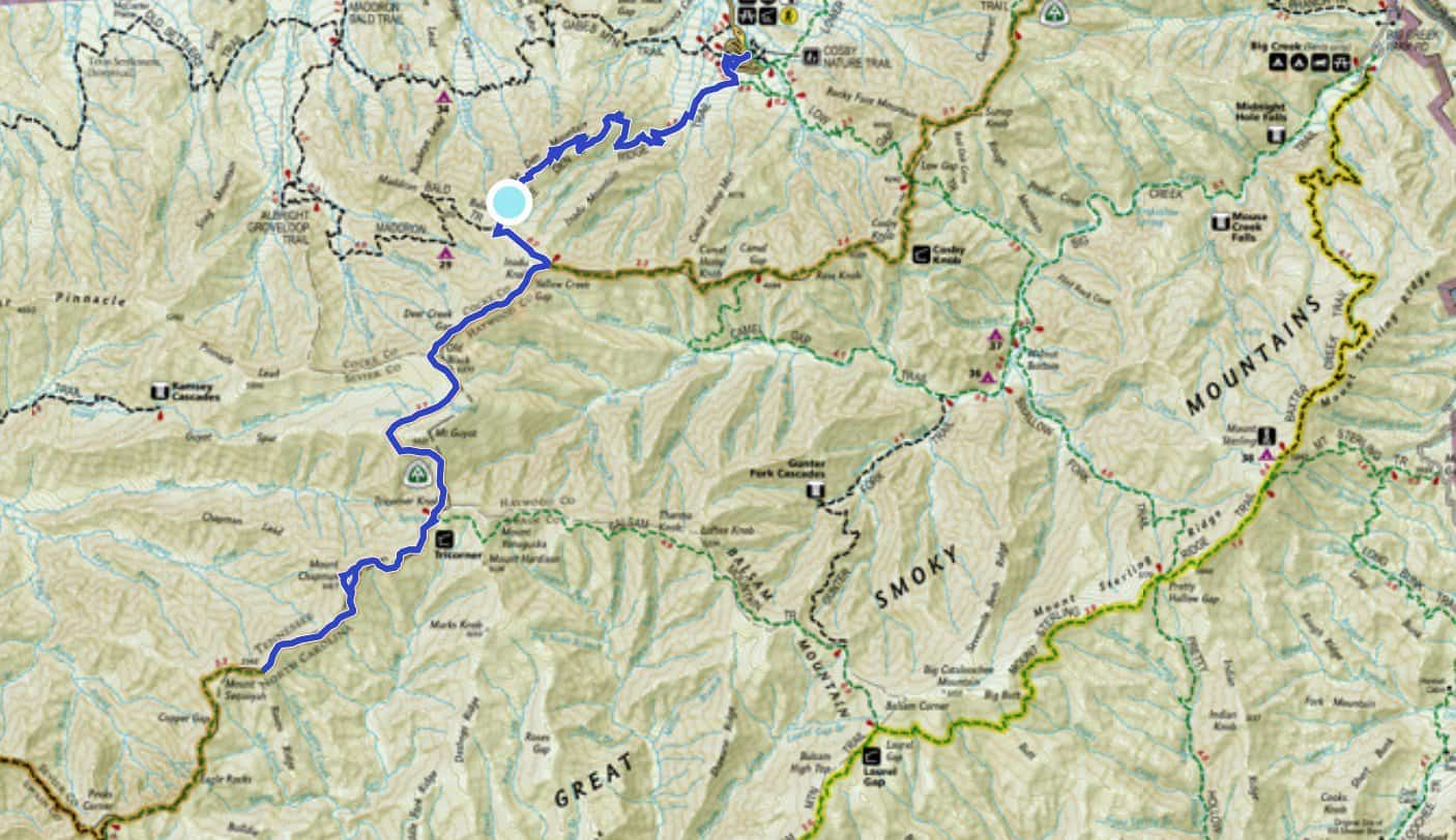
You can see a photo of my overall route at the top of this post with the included screenshot. I am not, however, including a GPX track. Part of the fun of the SB6K Challenge is figuring out the off-trail route for yourself versus following a line on a GPS device or app. If you’re not proficient in off-trail navigation without the crutch of digital technology, I highly recommend you rethink the SB6K Challenge until you become more qualified with map, compass, and navigational awareness. Here’s an article I wrote on navigation for the backcountry, if you’re interested, and some resources that helped me when I was first learning.
Mileage: 23.6 miles
Potential Hazards: The crossing of Inadu Creek can be slightly intimidating in higher water, but it’s usually passable.
Suitability for Kids: Unless your kids are into peak bagging and/or the SB6K Challenge, I’d probably skip this hike with them in tow; however, this stretch of the A.T. is magnificent and well worth a family trip if you’re into backpacking together.
Dog Friendly: No. Dogs aren’t allowed on trails in Great Smoky Mountains National Park with the exception of the Gatlinburg Trail and the Oconaluftee Visitor Trail.
Permits: No permits are needed to hike the trails in Great Smoky Mountains National Park, but they are required for camping in the backcountry. Reservation information for backcountry website the park’s website.
Navigation Resources
National Geographic Trails Illustrated Map of Great Smoky Mountains National Park
I carry the 10 essentials in my pack at all times and you should too! If you’d like to know what gear I use and recommend, here’s my gear list.
I use the GAIA app for all my hikes. If you are interested in using GAIA, you can get a 20-50% discount off a subscription (and I highly recommend it). I use it for both SAR and personal use exclusively.
Recommended Gear
I carry the 10 essentials in my pack at all times and you should too! If you’d like to know what gear I use and recommend, here’s my gear list.
Other Resources and Information
There is an amazingly strong woman gridding the SB6K peaks named Caet Cash (@woodswomyn). What does “gridding” mean? It means she is hiking every single SB6K peak in every single month of the year….and her goal is to do it in one calendar year. It’s insanely awesome and her Instagram posts are absolutely poetic.
My friend Johnny makes fun videos of his hiking trips and he is creating videos of all his SB6K peaks which you can find right here.
Happy trails,
Nancy (Seal Mom)
P.S. If you’re interested, and especially if you’re new to hiking or backpacking, I invite you to join my Facebook Group, where I post the best deals on quality hiking/backpacking/camping gear that I can find. But more importantly, I provide education on outdoor safety topics, based on my SAR operations. It’s a fabulous group of people and I like to think of it as one of the nicest Facebook groups out there. 🙂
[content-upgrade id=”3163″]
