 Trail Journal
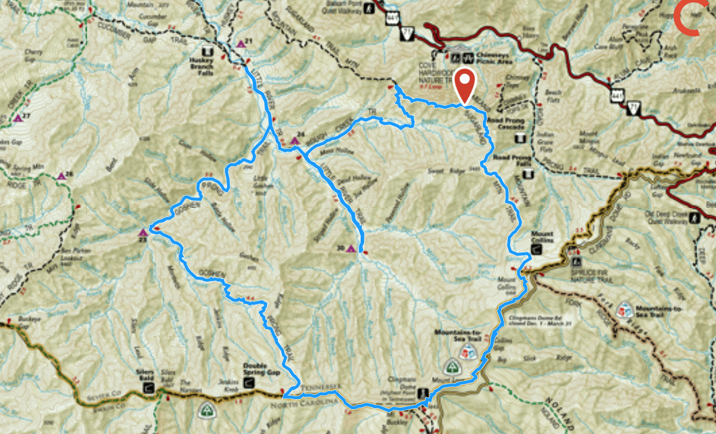
I have tried to hike this loop three times unsuccessfully in the past 10+ years.
The first time I was solo, and I turned around on the Sugarlands Trail when I encountered signs warning of aggressive bear activity.
The second time I was turned around again on the Sugarlands Trail after the fires of 2016 (the trail was closed for a couple of years following them and I neglected to look at the Park’s website to learn this before planning an entire backpacking trip around the loop).
The third time I was backpacking with friends, and Larry, my husband, was coming home from a business trip with flight delays (so I had to return home since leaving 3 tween/teens unattended into the night was far from a responsible or wise choice).
Is the fourth time going to be my charm? I check the weather forecast that morning and realize there’s a fair amount of risk for afternoon thunderstorms in the afternoon, most likely as I’m walking the Sugarlands Trail to complete the last few miles of the hike. I begin to question my success again (or at a minimum, my sanity, for walking an exposed ridge during potential electrical activity). I opt to reverse my route at the last minute, text Larry my new itinerary, and hope for the best, knowing I can always hunker down on Goshen Prong Trail before plowing through the final miles of the Appalachian Trail that afternoon, if needed.
Safety Snippet: If you change your itinerary before your hike, make sure to let your point of contact person know. Don’t have any idea what I’m talking about? I implore you to read this article about the steps you should take before leaving on a hike, for your own safety.
I start my day’s journey with a short snippet of the Appalachian Trail which I access by ducking into the woods off the road to Clingman’s Dome, leaving my car in an empty parking lot at Collins Gap, all by its lonesome. I’ve never understood the reasoning behind this parking lot that doesn’t have a trailhead or even a great view to welcome its drivers, but I’m thankful it’s here so I can knock out some of my high elevation hiking earlier in the day before any storms hit.
Trail Planning Tip: Do as I say and not as a I did: Check the Park’s website for trail and/or backcountry campsite closures before leaving for your trip!
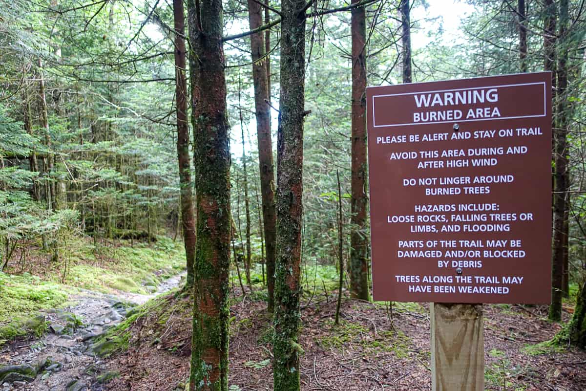
Thankful to see a warning sign instead of a closed trail one!
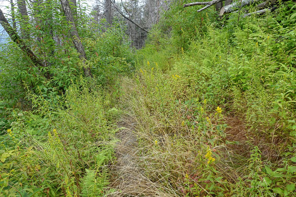
I meet the Sugarlands Trail and veer onto it, remembering my third attempt at this loop just a few short months ago. This is cruiser trail, never rising or falling significantly in any one spot, except towards the end as it descends towards Sugarlands Visitor Center. I’m able to bag some efficient mileage quickly and it makes me happy. The trail is overgrown towards the junction with Rough Creek Trail, but it’s never unmanageable and a far cry from the overgrowth on some of the other trails in the Park during summer.
(Click on any photo below to be taken to a full-size slide show of the images)
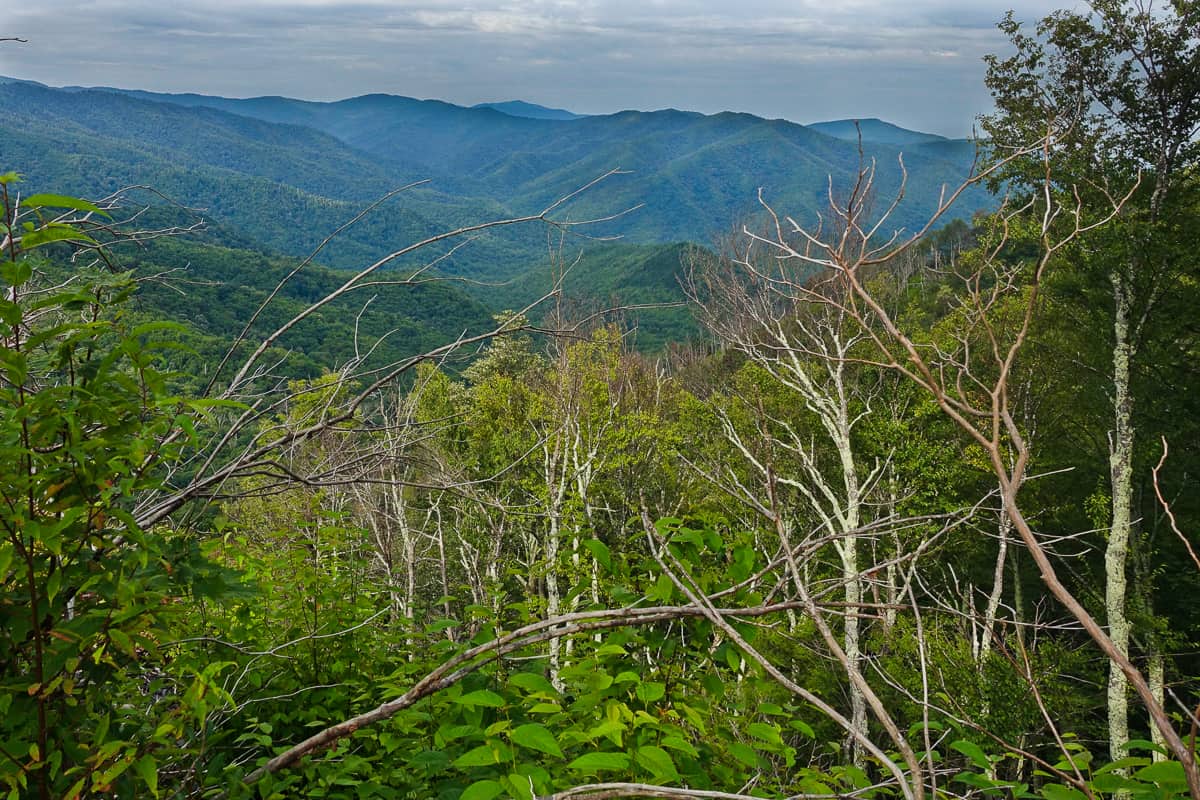
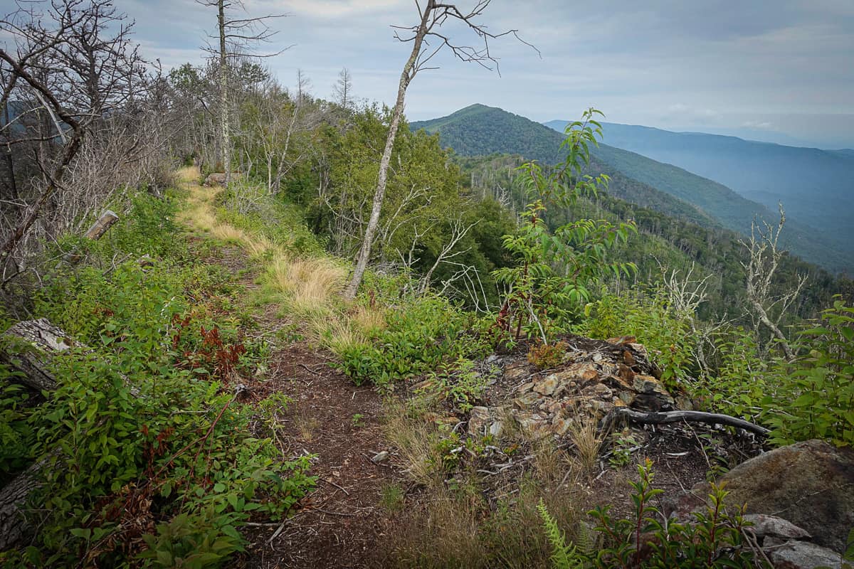
- More amazing views from the Sugarlands Trail.
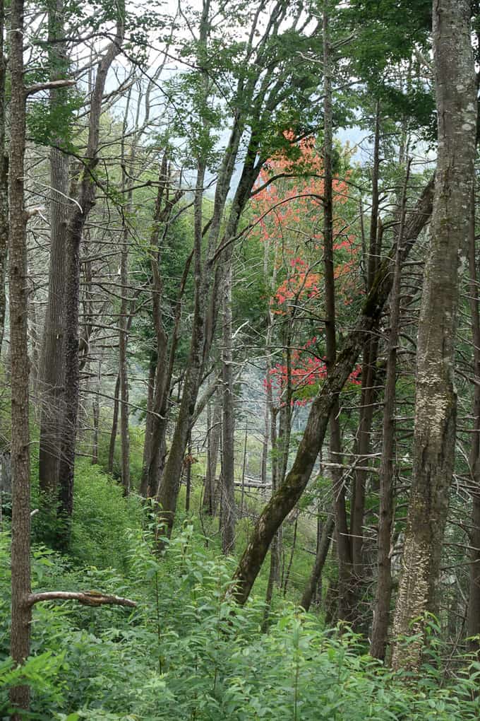
- The open views from the Sugarlands Trail are epic any time of year.
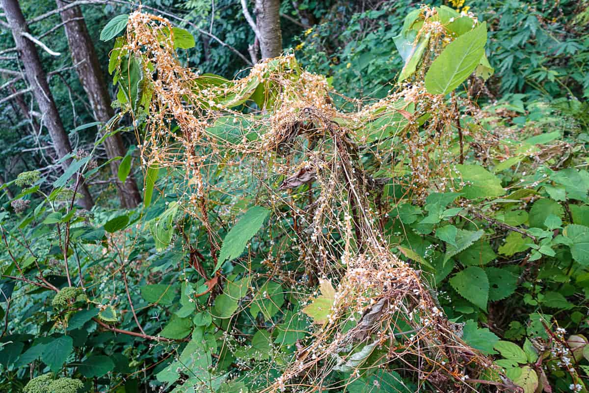
- Dodder or “Love Vine.” It contains no chlorophyll so it robs nutrients from the plant it entwines with, by using haustoria, “teeth” like projections (gives Little Shop of Horrors a whole new meaning!).
- Fall is coming!
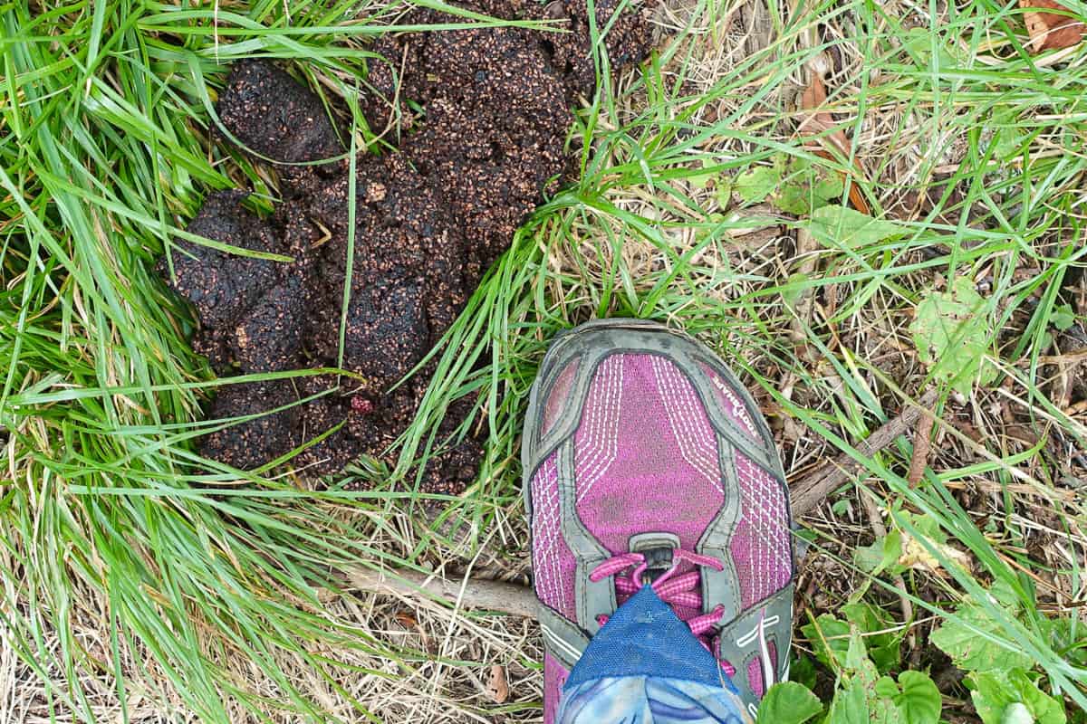
- I’d say this bear has found plenty of berries this summer!
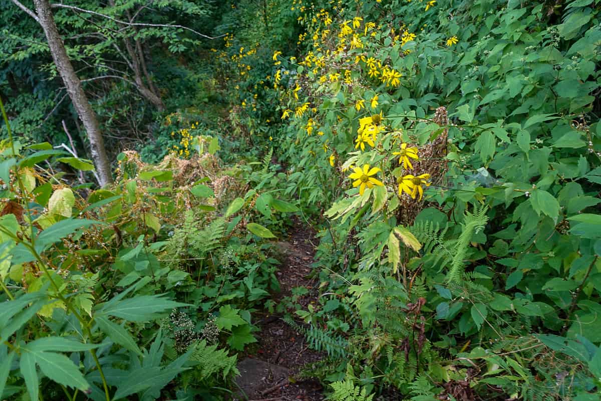
- Sugarlands was overgrown but not terribly.
As I’m stepping off a large boulder on the trail, I bend my leg deeply to reach the ground with my other foot, and my knee hits a sharp, jagged piece of the rock. It punctures my skin. While it’s not a deep wound, it won’t stop bleeding so I halt my efficient progress and apply pressure to it for a few minutes.
Safety Snippet: While there are all sorts of things you can bring in your first aid kit for wound care, I tend to keep mine fairly simple: A small supply of gauze sponges, a nonstick bandage, a couple of bandaids and a small amount of triple antibiotic ointment. It’s important to have some form of material that would help stop bleeding though, and typical hiking clothes that wick moisture (non-cotton, synthetics and synthetic blends) are not the greatest for this task. I carry a bandana for this purpose (as well as to mop sweat off my face) but it is admittedly not going to do a lot of a good with a “gusher” of a wound.
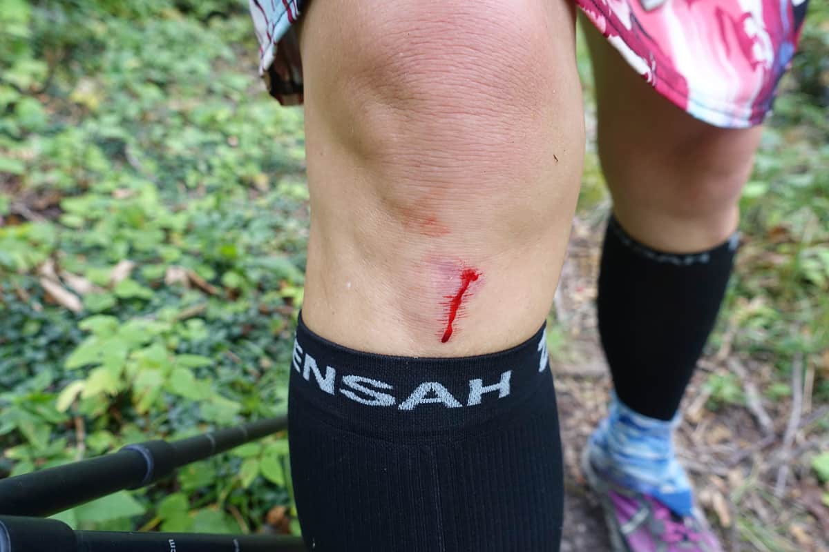
This was as good as I was gonna get it to stop bleeding so I decided it just made me look tough with blood still oozing from it. 😉
The wound finally semi behaves and I march on, hitting Rough Creek Trail and descending on it. When I was here in early spring and left for home home after my husband’s flight was delayed, my friends had a heck of a time getting through the overgrowth on this trail. I’m finally thankful for the long delay getting to hike this loop, because it’s been cut back since then and is in great shape! Thank you trail maintenance crews, for all your hard work!
I pass a group of three young backpackers. They look young enough to be my oldest son, and wow, I’m feeling old as I talk to them! We exchange pleasantries and both move on. I make good time and reach the Little River Trail and hang a left towards campsite 30.
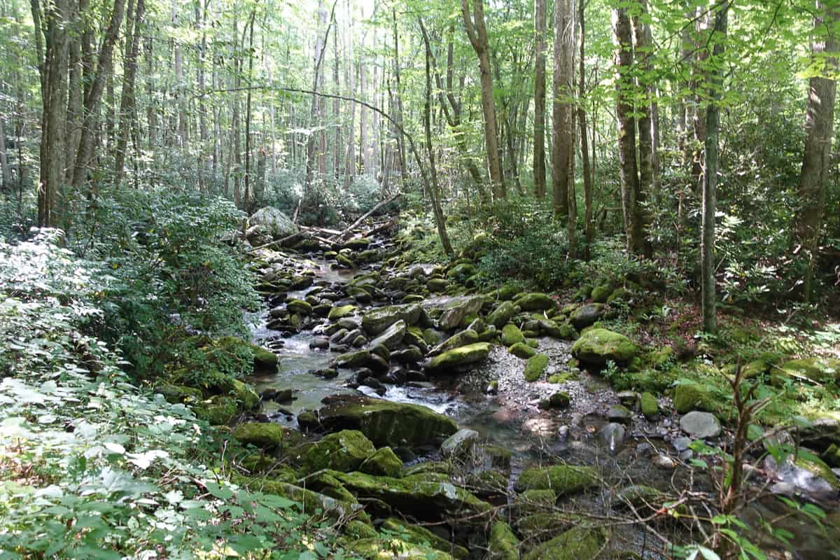
It’s a beautiful and pleasant walk to campsite 30 along the Little River Trail.
This campsite sits just across a tricky river crossing if the water is high. We had rain the previous week, so I’m slightly worried about what I’ll encounter. I want to touch the campsite sign and make this map marking venture official. I’m relieved to find it completely passable and I ford it successfully, taking a selfie with the timer on my camera to prove I made it!
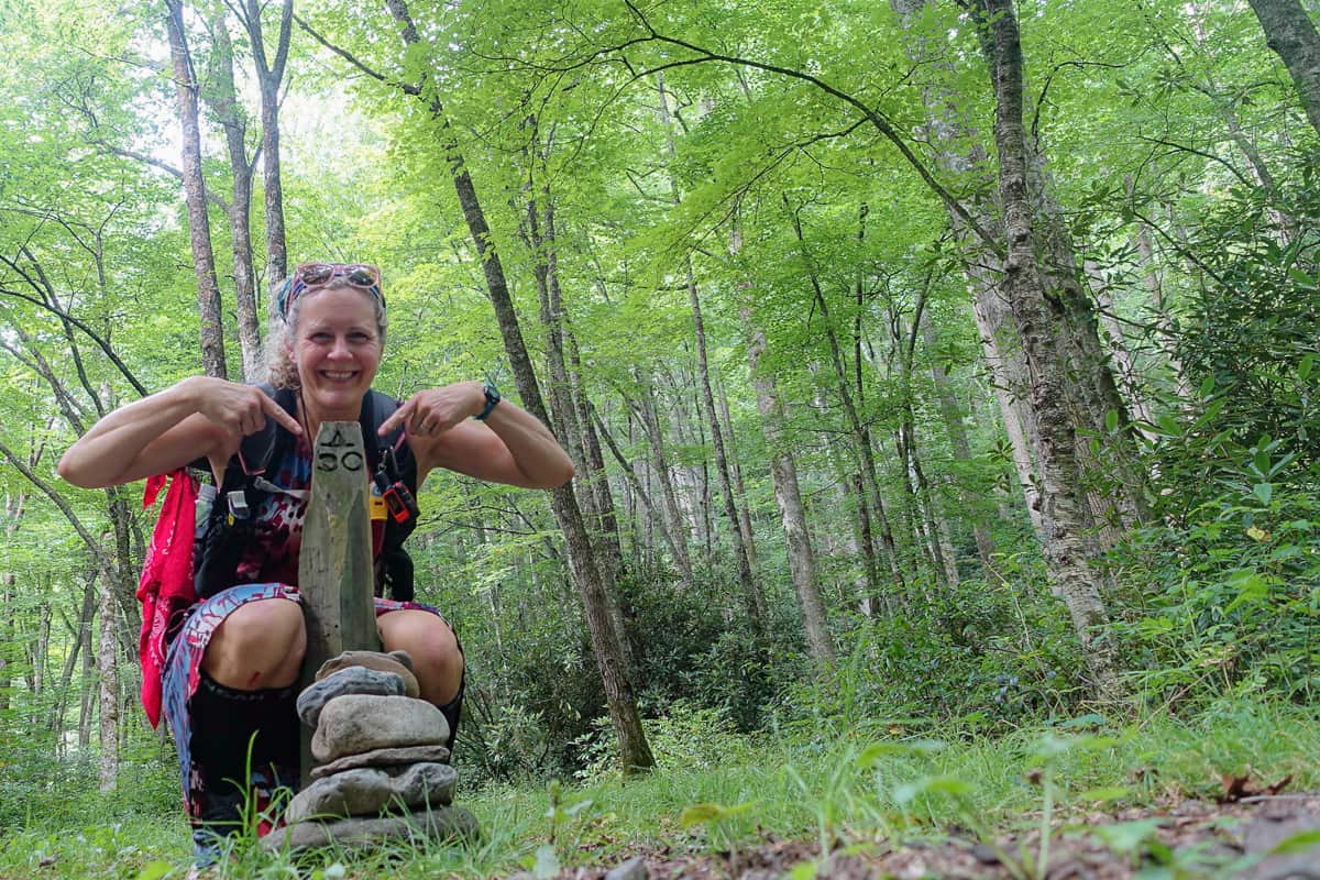
Proof of conquering the ford before campsite 30!
I backtrack and do a quick out-and-back jaunt on the Little River Trail to its junction with Cucumber Gap (all in the name of becoming a future “900 Miler”), then pick up the Goshen Prong Trail to make my way back up to the Appalachian Trail. I pass campsite 23 and smile, remembering a “parents only” backpacking trip with Larry.
A photo from my trip with my sweetie–we made the best of our rerouted itinerary!
We had plans to take a more casual approach to my current route, taking three days instead of one to complete it, but this is when my lack of due diligence to check trail closures burned me (so we ended up doing an out-and-back down Goshen Prong from the other direction). There is no one at the site and bear warnings are posted on trees. Hmmm, I was planning on stopping for a snack before the long ascent, but maybe I’ll hold off.
I make my way up the mountain and hear a large animal crashing down the mountain below me, just a half mile from the campsite. Yep, glad I waited for that snack, even if this bear is behaving like he should and running from me versus coming to investigate the girl with fun snacks.
Safety Snippet: In areas with known bear activity, I think its best, especially when you’re solo, to keep moving and not stop for a snack break until you’re at least a couple of miles further down the trail. While offensive bear behavior is rare, it’s best not to invite the potential!
I find my groove with climbing and don’t want to stop other than to take photos of cool nature finds, so I simply nosh on trail mix from my hip belt pocket as I climb. Goshen Prong Trail is very manageable with elevation gain per mile until the last couple of miles and then it takes it up a click. My legs are still feeling relatively strong but I can tell my pace is dragging towards the top. Where the heck is that trail sign?!
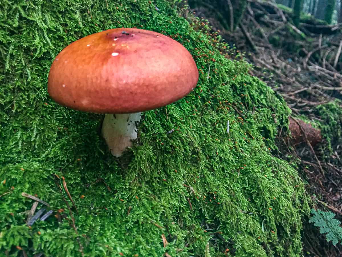
- No wonder the bears like this trail!
- I have memories of playing Mario Brothers as a kid when I see these guys!
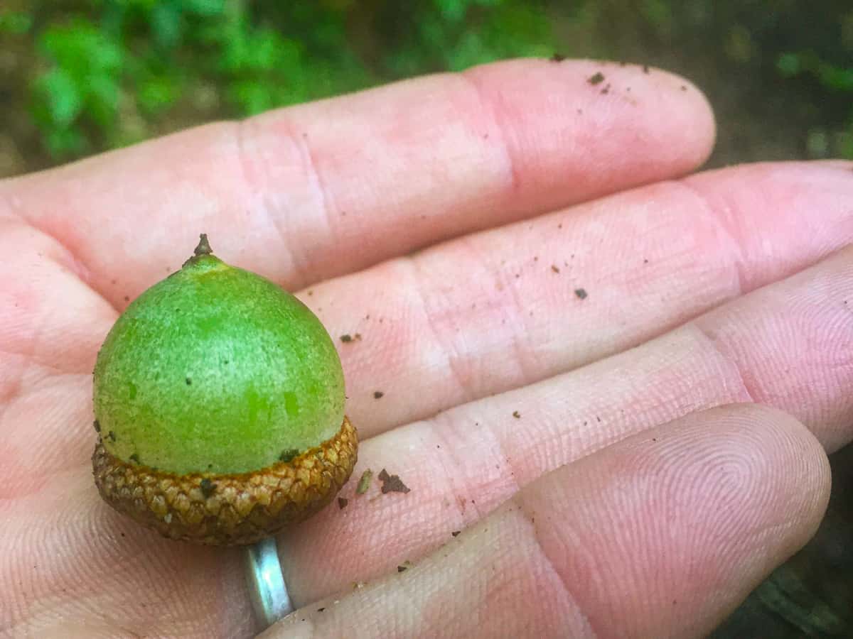
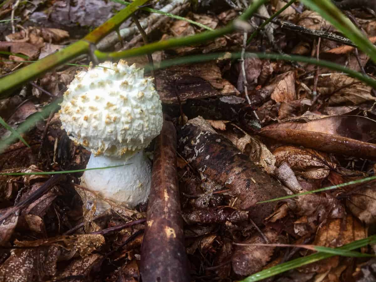
- Looks like a toasted, spiky marshmallow 🙂
I finally make my last pitch of ascent up the trail and I’m at the junction of the Appalachian Trail and Goshen Prong. I sit on a log and finally have a proper snack. I don’t hear thunder and the skies are overcast but not threatening. I have a tough stretch of the Appalachian Trail back to my car, and things can change quickly with summer thunderstorms, so I tell my legs to get in gear.
They sorta kinda whine in protest, at least on the steep uphill sections with big, rocky step ups, but we get through it together until we reach Clingman’s Dome. The descent from Clingman’s Dome on the Appalachian Trail is rocky, damp and slick. My pace slows significantly as I take my time to descend without busting my butt. I encounter the group of backpackers I saw this morning on Rough Creek, and we’re both almost back to our cars which will take us to the land-of-eating-all-the things after a long day on trail.
I emerge from the woods near my car and have to walk in the tall grass alongside the now very busy road to the Dome. I can’t see where I’m stepping since the grass is thick and knee high, but I can tell when I step on something moving beneath my feet! I leap in the air, thinking it’s possibly a snake, much to the amusement of passing cars, I’m sure!
I reach my car and find it just as I left it–all by its lonesome in the strange parking lot at Collins Gap. I change my shoes, replace my sweat-drenched clothes with a clean, dry outfit I left in the front seat, and head down the mountain towards home.
TRAIL REPORT CARD and GPX TRACK
Mileage: 27.6 miles
Type of Hike: Loop primarily, with the addition of a short out-and-back snippet to campsite 30 and on the Little River Trail, both of which added about 5.6 miles to this hike.
Potential Hazards: The water crossing just before backcountry campsite 30 can be dangerous in high water. For your own edification, The “$1 map” of the Smokies has a very helpful list of all the streams in the Smokies that may be difficult and/or dangerous with high water during or after rain. It’s wise to consult this list before any hike, to see if you might be faced with turning around unexpectedly!
Suitability for Kids: This was a longer hike than most kids would enjoy, but I think a short loop combining the Little River and Cucumber Gap Trails with a stay at backcountry campsite 24 (if you’re into backpacking as a family) would be a nice option, especially during the synchronous firefly season (usually early June).
Dog Friendly: No. Dogs aren’t allowed on trails in Great Smoky Mountains National Park with the exception of the Gatlinburg Trail and the Oconaluftee Visitor Trail.
Permits: No permits are needed to hike the trails in Great Smoky Mountains National Park, but they are required for camping in the backcountry. Reservation information for backcountry website the park’s website. And clearly, you shouldn’t park in the Cade’s Cove Picnic Area if you plan to backpack this route.
National Geographic Trails Illustrated Map of Great Smoky Mountains National Park
I carry the 10 essentials in my pack at all times and you should too! If you’d like to know what gear I use and recommend, here’s my gear list. I also invite you to join my Facebook Group, where I not only post the best deals on quality gear that I can find, but I also provide education on backcountry safety topics via Facebook Live events. It’s a fabulous group of people and I like to think of it as one of the nicest Facebook groups out there. 🙂
My Gaia Tracks from This Hike
If you are interested in using Gaia, you can get a 20-50% discount off a Gaia subscription (and I highly recommend it). I use it for both SAR and personal use exclusively.
[content-upgrade id=”3163″]
