On an unseasonably cool, summer morning, after a strong front of thunderstorms passed through the area, I set out. I am happy to report that this hike is like any other hike in the Smokies–a treasure. While it doesn’t have an abundance of majestic views or water features, it does offer a mostly ridgeline walk of solitude and botanical treasures.
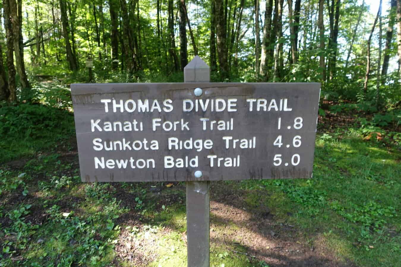
The Thomas Divide Trail is a longer trail in the park (14 miles) and it’s often used as a means of connecting other shorter trails. My goal for this hike was an out-and-back endeavor, walking 4.6 miles to its junction with the Sunkota Ridge Trail, where I would turn around and head back out the same way.
Because it’s a higher elevation hike, you will encounter botanical species who enjoy the “high life” such as Witch Hobble. Turk’s Cap Lillies are always a treat to find in abundance on a mid-summer hike, and the Thomas Divide Trail does not disappoint along with oodles of other orange colored fungal treasures on the forest floor.
I did not encounter any wildlife on this hike other than birds, but I did come across several extensive areas of uprooted soil, a likely indicator of non-native wild boar wreaking havoc. Speaking of boar, here’s a great NPR segment on the Park’s wild boar population and their efforts to control it in a rather controversial fashion.
The trail is in mostly good shape with the exception of one stretch as you descend Nettle Creek Bald on its western slope. Some erosion has washed the trail away and careful foot placement is needed. It’s nothing terribly dangerous, but it could easily lead to a short spill down the side of the mountain if you’re not paying attention. The hike in is easier than the hike out, if you consider uphill more difficult than downhill. But even the return trip’s uphill stretch is mild and relatively short. There is nothing terribly strenuous about any part of this trail.
All in all, it was a wonderful way to spend a half day in the woods and not feel completely wiped out from a more grueling trail, which is more typical of the Smokies.
My YouTube video below highlights the following:
- The history behind the trail’s namesake (it’s a fascinating story)
- My first wild boar sighting in the the Park (ever)!
- A startling encounter with Ruffed Grouse
- Rattlesnake Plantain (once you know how to identify it, you’ll likely never forget it!)
- The various wildflowers you’ll come across in mid summer
- How Witch Hobble goes its name
Enjoy the sampling of photos from my hike and as always, feel free to reach out if you have questions or comments!
(click on any photo to be taken to a full screen slide show)
- Trailhead sign
- So many mushrooms!
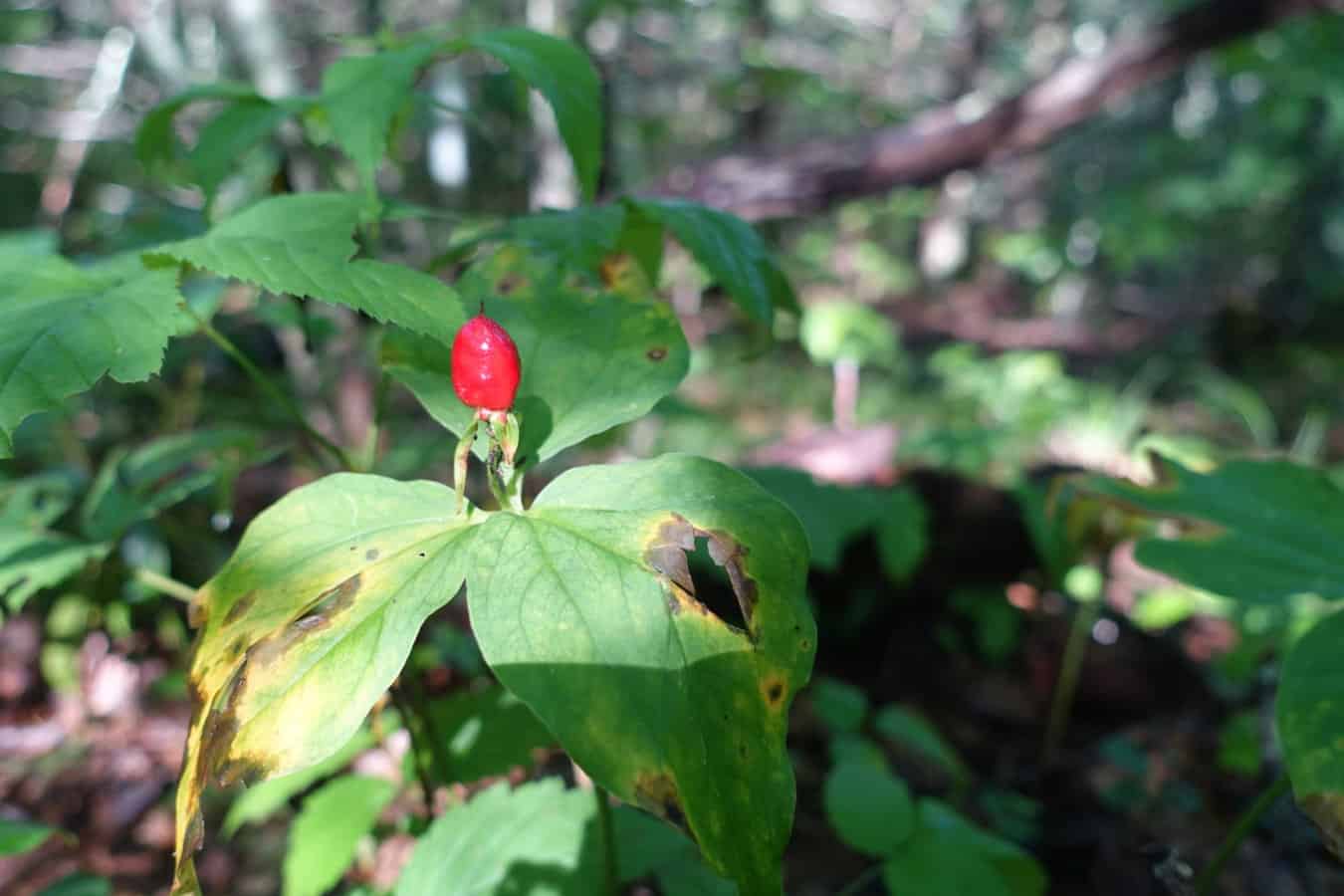
- Trillium berry
- Black-eyed Susans
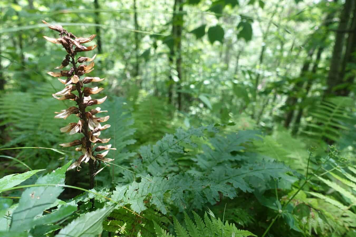
- Wood Betony
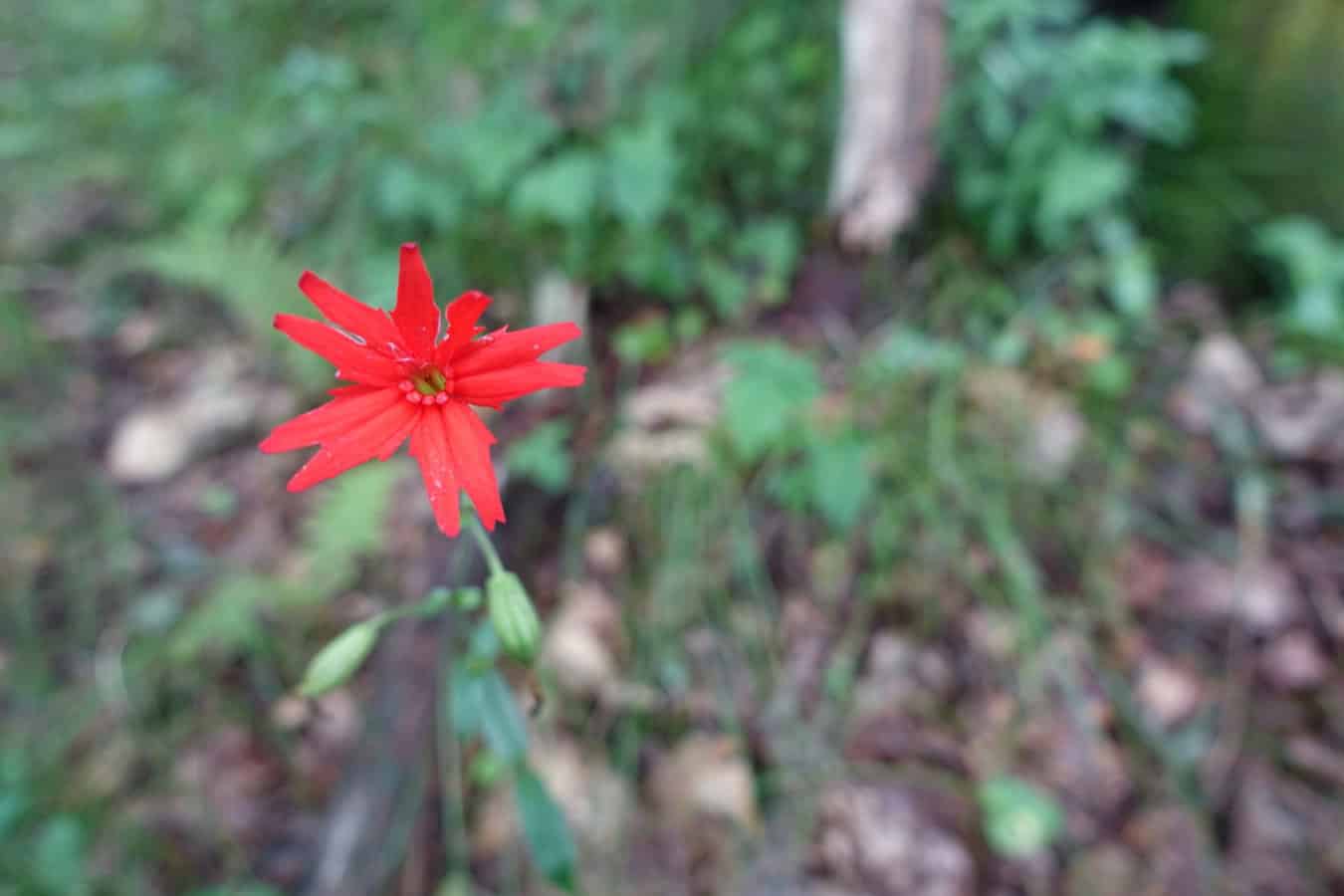
- Fire Pink
- Orange was definitely the color of the day with flora on the trail
TRAIL REPORT CARD, GPX TRACK, and Photos of the Hike
Mileage: 9.3 miles
Ascent: 1569 ft. Descent: 1571 ft.
Type of Hike: Out and back (turnaround point of Sunkota Ridge Trail junction).
Suitability for Kids: Kids who can handle the mileage will have no trouble with this hike, but it doesn’t have a tremendous amount of “wow” factor, so it wouldn’t be my first choice for them in the Smokies.
Dog Friendly: No. Dogs aren’t allowed on trails in Great Smoky Mountains National Park with the exception of the Gatlinburg Trail and the Oconaluftee Visitor Trail.
Permits: No permits are needed to hike the trails in Great Smoky Mountains National Park, but they are required for camping in the backcountry. Reservation information for backcountry website the park’s website.
How to Get to Trailhead: From Oconaluftee Visitor Center near Cherokee, NC take Hwy 441 (Newfound Gap Road) into the park. Drive roughly 10 miles, past a left hairpin turn and then 0.4 mile past the overlook marked “History Exhibit.” The trailhead is in the midst of a right hairpin turn on the left with a long, narrow parking area.
Special Notes: There are no water sources on this hike, so be sure to carry enough.
Resources and Gear:
National Geographic Trails Illustrated Map of Great Smoky Mountains National Park
I carry the 10 essentials in my pack at all times and you should too! If you’d like to know what gear I use and recommend, here’s my gear list.
If you enjoyed this post, share the love with the social media links at the top of the post or pin it on Pinterest!
[content-upgrade id=”3163″]


