If I hike the Timberline Trail again, I’ll probably still start and end at Cloud Cap again, but I’ll reverse the route and go counterclockwise. It would enable me to cross Eliot Creek earlier in the morning, before the temperatures warmed up and dumped more glacial water downstream where hikers cross it.
I made a YouTube video of my hike which shares the bulk of my photos and thoughts along the way, but I also included a written narrative at the end of this post with a few of my favorite photos. This post also outlines some of the unique gear I brought for this trip and some planning and logistical tips I learned through my trip.
Special Gear and Clothing
Besides a typical backpacking load out (sleeping bag, shelter, rain gear, etc.), I also recommend the following if you plan to hike or backpack the Timberline Trail:
- Hiking Umbrella. I can’t say enough good things about the Gossamer Gear Liteflex Umbrella and the attachment system they also sell. It’s my sanity saver in sun and rain, and it even deters bugs from dive bombing my face!
- Water shoes if you want to avoid getting your hiking shoes wet. I crossed in my trail runners and they dried out quickly from the arid climate.
- Sunscreen and/or sun protective clothing. There are many areas along the trail without tree cover and the sun is intense.
- Picardin bug repellant. My hike was in September and insects weren’t an issue, but I imagine an earlier season hiker would not be so lucky (especially with mosquitoes).
- Ursack and Odor Proof Bag While bears do not appear to be a problem along this route, I always advise to protect your food as best as possible, both for your own safety and the bears. “Mini bears” (small rodents) are probably a bigger problem in this area. An Ursack coupled with something like Opsack or Smelly Proof Stand Up Bags is my go to and it worked well for my Timberline Trail hike.
- Personal Locator Beacon like a Garmin InReach Mini (what I carry).
- Cash for parking areas. I parked at Cloud Cap Campground to begin my hike and was thankful I had $5 cash for the parking permit! This can also be purchased online in advance as Recreation.gov.
I hope this is helpful, but feel free to leave a comment below if you have any suggestions to add. This is a new-to-me trail, and the information is simply based on my experience.
Hazards
The trail is well marked but there are many trails that branch off of it. At the time of this post in 2021, there is also recommended bypass route on the eastern side of the trail. I took the bypass route and still found it challenging since it has lots of blowdowns remaining across the trail; however, from what I hear, it’s less taxing and treacherous than the part of the trail it circumvents.
As with any hike, the Timberline Trail has potential hazards. The following are what I deem the most dangerous and ones that you should research before starting out, so you know how to conduct yourself in any of these situations:
- Unbridged glacial stream crossings are one of the biggest risks along the Timberline Trail if you’re not careful with how and where you cross them (and even approach them as you descend steep embankments to reach them). I spent a substantial amount of time educating myself on crossing them by researching various websites, YouTube videos (but they don’t look nearly as intimidating in a video as they do in person), and in an excellent Facebook Group centered on hiking the Timberline Trail.
- Hypothermia is one of the deadliest risks in the backcountry, and it can easily become a threat any day of the year along the Timberline Trail. Here’s something I wrote about hypothermia, if you’d like to learn how to avoid it and what to do if you or a hiking partner experiences it.
- Hyperthermia is becoming an increased risk in this area, secondary to climate change.
- Lightning strikes, especially above treeline. I never experienced thunderstorms during my hike, but being above treeline is not where you want to be during one! Take the time to educate yourself about how to best avoid a lightning strike before heading out on any trip.
- Decreased air quality from wildfires. There are several websites and apps used for this purpose, but this is the website I used in addition to the Paku for Purple Air app.
- Exposure to steep drop offs beside the trail. If you have a fear of heights, there may be a few spots along the trail that make your heart race a little, but there was never a spot where I felt unsafe and couldn’t continue on without substantial risk. This is just worth noting for people who don’t like feeling exposed.
My Trail Journal
The waning crescent moon barely illuminates the night sky while Larry drives me to the Asheville Airport—a labor of love at this early hour. I board my flight with uncharacteristic calm. It’s been nearly two years since I’ve flown which is probably a record for me.
I land in Portland and can’t believe my luck when I find a brand new Toyota Tacoma hidden in the shadows of the car rental aisle—I hop in and drive off in style for my journey.
First things first—food and fuel. I hit the local REI and pick up canister fuel for my backpacking stove, then add fuel to my own growling tank with a delicious sushi bowl from Rollin’ Fresh.
After the long plane ride, I stretch my legs by hiking a 6-mile loop with includes waterfalls. The first one, Multnomah Falls, is wildly popular and congested with crowds given its proximity to the highway. It reminds me of Laurel Falls in the Smokies, but this time I’m the tourist ogling instead of local trying to pass by quickly to get deeper into the backcountry. The crowd thins within a half mile of the upper falls, unsurprisingly, and I have the rest of the route nearly to myself. I pass by several cascades, each more impressive than the last—a fine introduction to Oregon and its splendor.
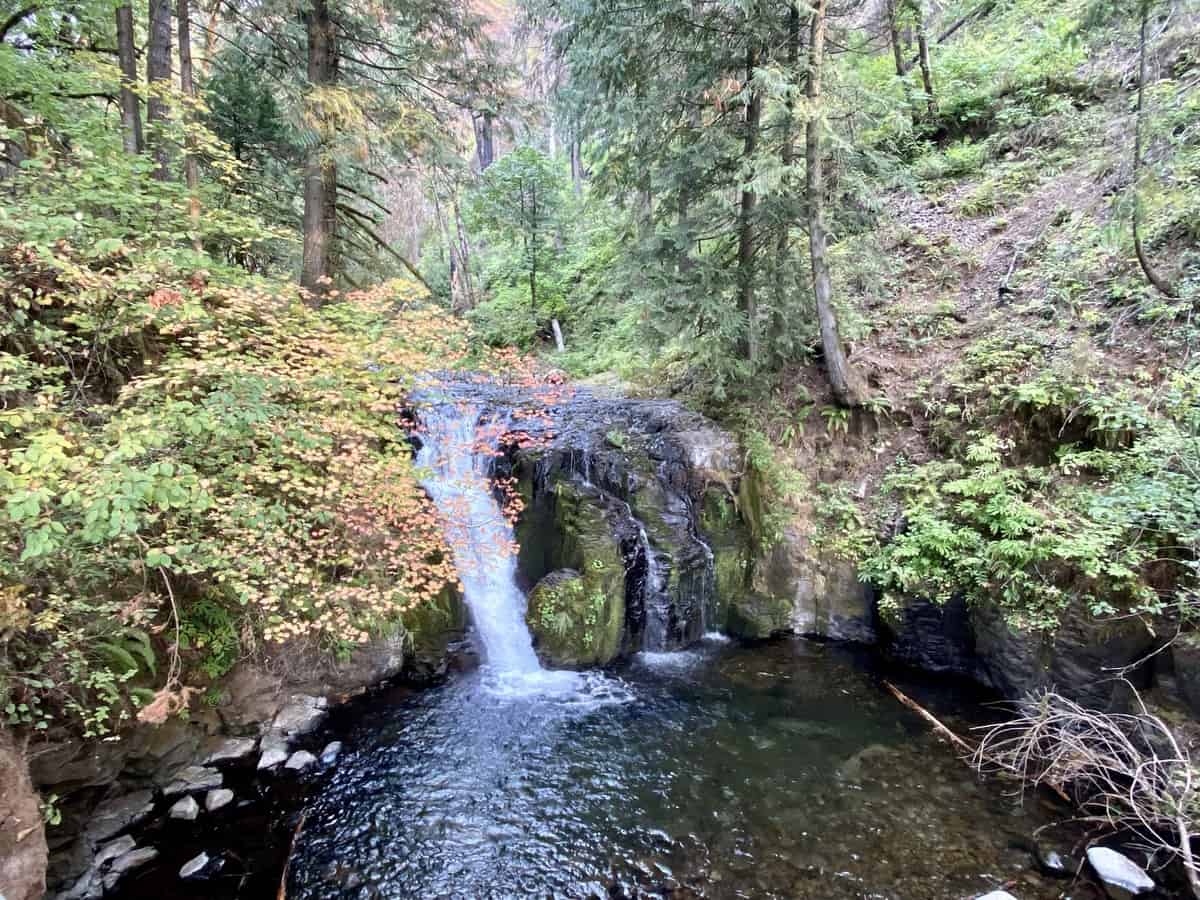
It’s 7 p.m. when I finish the hike and I still have a couple of hours of driving ahead of me before reaching Cloud Cap Campground. Time to get moving without distraction. Except It’s nearly impossible to stay focused driving through the Columbia River Gorge. The steep slopes rising above me display a patchwork quilt of life and death after the 2017 fires. Despite the destruction, it’s breathtaking.
I arrive at the campground and its dark as pitch. It’s challenging to tell where the campsites are without disturbing other campers (including a few in their cars), so I decide to hunker down in the second row of the Tacoma and call it a night. I would have been more comfortable in the bed of the truck, but I’m reluctant to be that exposed without knowing who I’m camping near.
The second row of a Tacoma is decidedly not made for sleeping though, at least if you’re taller than a toddler. I wake up multiple times, my knees aching from the unnatural position I’ve placed my body in across the seats. Finally, at 5:00 a.m., I decide it’s time to pack up and get moving. I hit the trail by 7:00 a.m. heading in a clockwise direction.
Within fifteen minutes, I have a full view of Mt. Hood towering in front of me I meet two notable groups within the first hour. One is a couple, and the man comments on my hiking dress. “Hey, is that a Lightheart Gear dress?” he asks me. “Yeah, but I’m surprised you knew that” I reply, curiously. “I hiked the Appalachian Trail with Judy. Tell her Cheese Whiz said hello!” he replies, while grinning. The hiking community remains small, no matter how far you travel. Judy is the founder of Lightheart Gear and a mutual acquaintance.
The other group is about eight or so young women, and their youthful energy and positivity make me smile. I wonder if I’ll see them again as we both circumnavigate the mountain in different directions. I’d like to.
The views from Gnarl Ridge are so impressive that I wonder if I’m spoiling myself with the best scenery the mountain has to offer within the first few miles. I stop to take a few photos, trying to include myself in a couple, which is no easy feat when you’re alone.
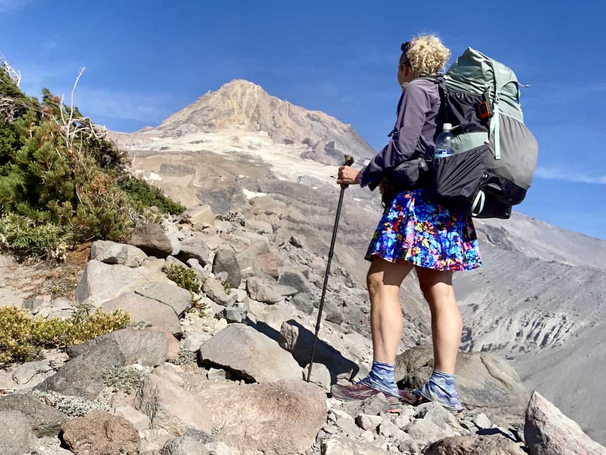
I’m high enough that I can see the distant views, but they are largely obscured by smoke and haze. The massive Caldor fires around Lake Tahoe are the source. I think of the brave souls fighting them while saying a silent prayer for their safety.
The day warms up and I’m thankful for the shaded reprieve of the forest when I duck into it, finally. It’s quiet and still, but the memory of scent is powerful and reminds me of my last journey into western woods several years ago when I hiked the Tahoe Rim Trail.
I hear Newton Creek before I see it. This is on the list of more challenging glacial water crossings. I meet a couple who’ve just crossed from the other side, and they convince me to head downstream to cross. “You’ll see where the trail joins on the other side because there’s a small water source feeding into Newton Creek,” one of the hikers tells me.
I follow his advice and start the agonizing process of reading the water currents. The creek isn’t wide, but it’s swift and impossible to see its depth. I finally pick my spot and start across, using my hiking poles to gauge the depth before taking my next step. My shoes immediately fill with silt and the water reaches my lower thighs at its highest point. But I make it across safely, which is all that matters.
I look at the small stream trickling into the creek and say aloud, “Huh, is that really the trail?” What looked like an opening on the other side of the water now appears to be where a minor rockslide occurred. It’s not safe or stable enough to scale and bisect the trail above me somewhere.
I look upstream a ways and see another small stream feeding into Newton. “Crap, that’s where he was talking about,” I think to myself. The embankment is too steep to traverse to that spot, so I cross Newton again, only to walk upstream and cross it a third time. “At least you’re getting lots of practice for Eliot,” I muse.
I eventually stop for lunch in Elk Meadows. It’s nice to be off my feet, but I’m eager to get back on them because I have a new focus—a cold soda.
Timberline Lodge is just a couple of miles away, but the White River separates me from it. Before I reach it, a forest service sign hanging on a tree reads, “White River. A violent glacial stream.” Great. But it proves to be one of the easiest crossings of my entire journey, and I nearly keep my feet dry rock hopping across it.
I reach the Timberline’s junction with the Pacific Crest Trail and turn onto it. The trail is predominantly sand for the next two miles, testing my calf strength and fortitude, especially with the hot sun burning overhead. But I finally arrive at the lodge and hunt down the vending machines in short order. Fanta Orange is a solid choice. It reminds me of a year ago on this day, when I started my speed record of the Smokies 900 with Chris (one of my best friends). A beer from the bar tempts me too, but I know I have at least five more miles before camp, so I continue on.
The terrain leading from the Timberline Lodge is easier, and I love that I’m traveling on the Pacific Crest Trail for a few miles. I think of Chris again and his sojourn along this long path two years prior.
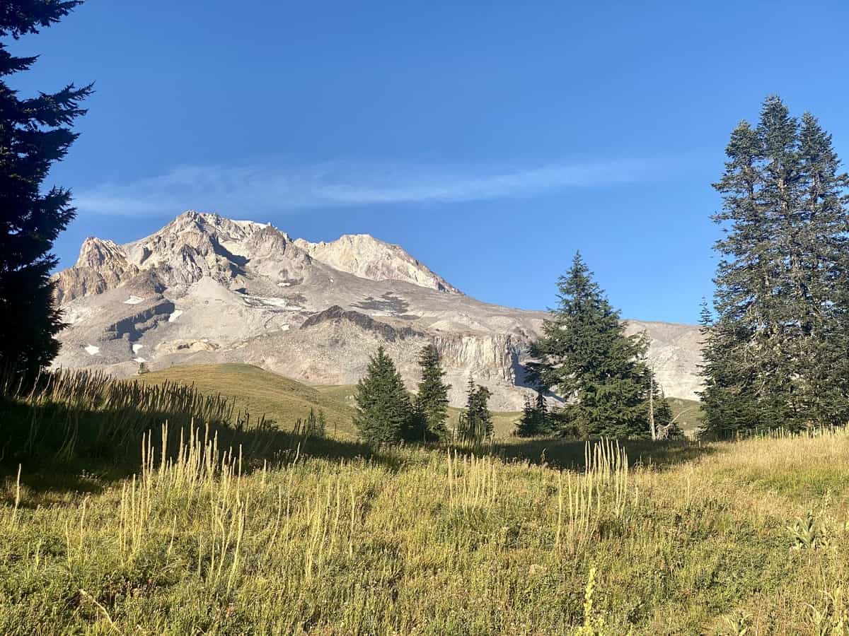
I leave the PCT and head up towards Paradise Park. I’ve read that it’s a prime spot to set up camp, but given the holiday weekend, I’m likely arriving too late. I’ve already hiked twenty miles but I may end up hiking a few more if they’re all taken. Luckily, they’re not.
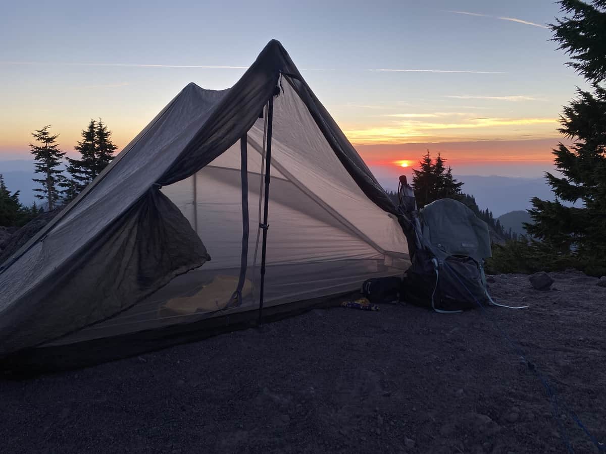
I’m fairly exposed on the small shelf where I pitch my tent, but the wind is mild and I have a 360-degree view of Mt. Hood in front of me and the valley behind me. The setting sun puts on quite a show, especially with the haze and smoke in the atmosphere. I make my dinner while I watch it sink beneath the horizon, hang my food, climb into my tent, and fall asleep before I can even contemplate my mileage for the next day.
Day 2
I’m on trail by 8 a.m. and there is less visible smoke on the horizon. The terrain is easy initially, and I stop constantly to pick huckleberries on the side of the trail. My fingers are stained blue from the mid-morning snack—a temporary tattoo of my indulgence. I even cross paths with Cheese Whiz and his partner again—the first people I encounter twice from the opposite direction!
I reach the Sandy River and look for a reasonable place to cross it. It’s not as intimidating as Newton Creek and there are two small logs suspended above the creek. They’re slick, but I make it safely to the other side, with only one foot dipping in the water as I walk across them awkwardly.
Ramona Falls breaks up the next climb and provides a nice spot for a sit-down snack break. The black basalt rock creates a unique backdrop for the cascading water, and it reminds me of scenes reminiscent of Grimm’s fairytales. I look for Hansel and Gretel peeping out behind the adjacent trees, but the only thing I find are increasing numbers of day hikers.
A series of uphill switchbacks now leads me to a junction where I encounter the delightful group of young women I met the day prior. They have stopped for lunch, and I chat with them for a bit. I tell them that I was supposed to have girlfriends with me on this trip, but they had to bail for various reasons. My heart swells when they tell me they would have asked if I wanted to join them had they known yesterday. I’m enjoying my solo jaunt, but I can tell I’d love hanging out with them.
I leave the junction, take the recommended bypass trail, and am quickly rewarded with the best view yet of Mt. Hood. I feel as if I could reach out and touch it. After gawking for a moment, I travel on.
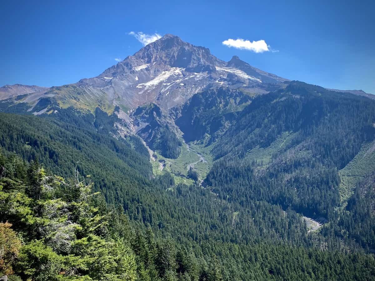
I duck back into the woods and am met with an uphill battle, literally and figuratively, created by a massive windstorm that occurred one day shy of a year ago. I double check that I’m on the bypass route several times as I weave my way over and around tree after tree after tree. My tank starts feeling empty, but I’d prefer to reach the end of the maze before eating. Eventually, I concede to my fatigue, knowing I’ll be more efficient once I eat and add some electrolytes to my water.
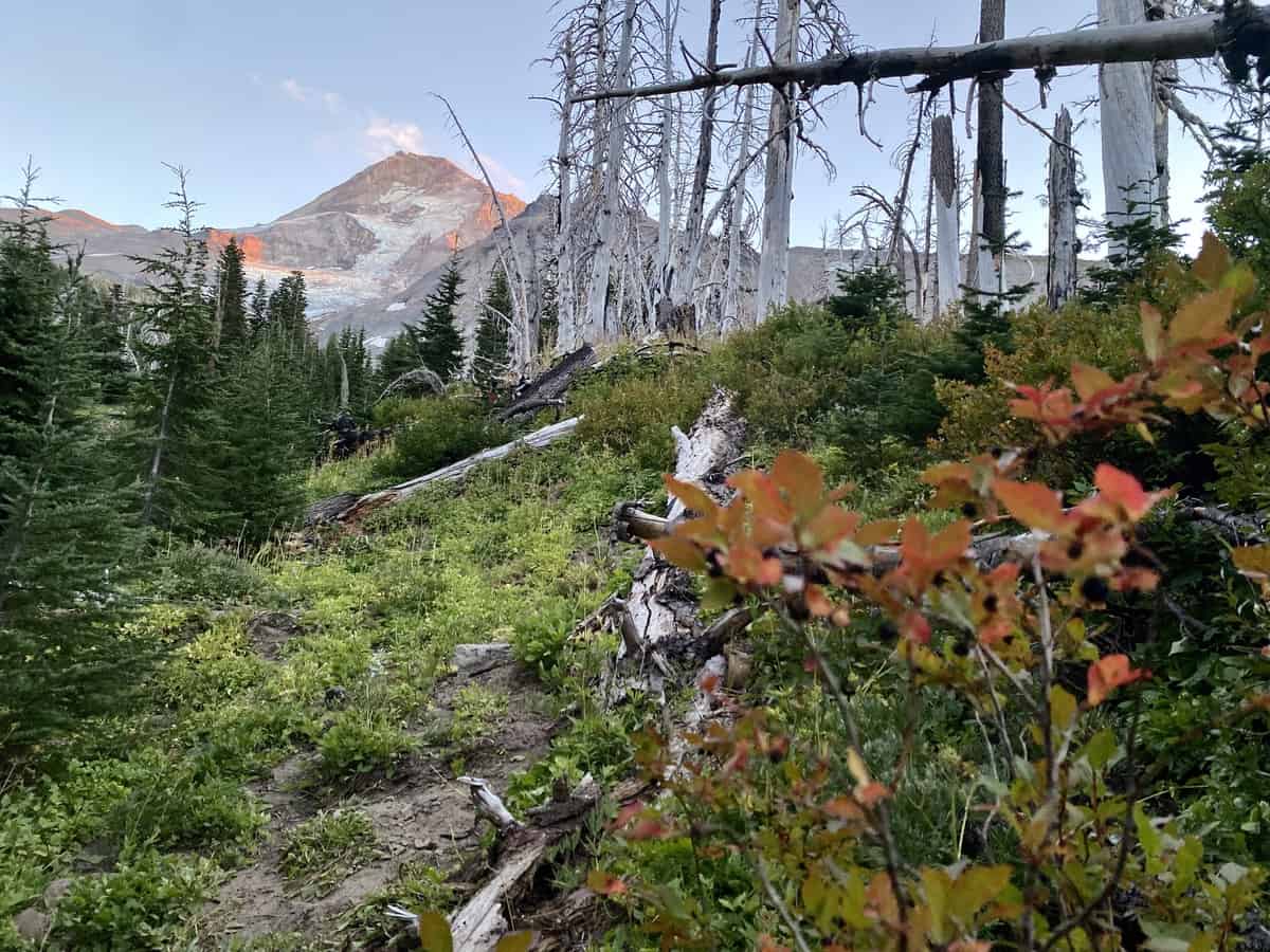
It helps, and I make better time reaching the top, eventually hiking through the Cairn Basin where I’m met with thousands of snags reaching towards the sky—remnants of a previous wildfire. There are a couple of parties camped in beautiful spots near the dilapidated stone shelter, but I know I wouldn’t sleep a wink if the wind blew through the snags, so I continue on.
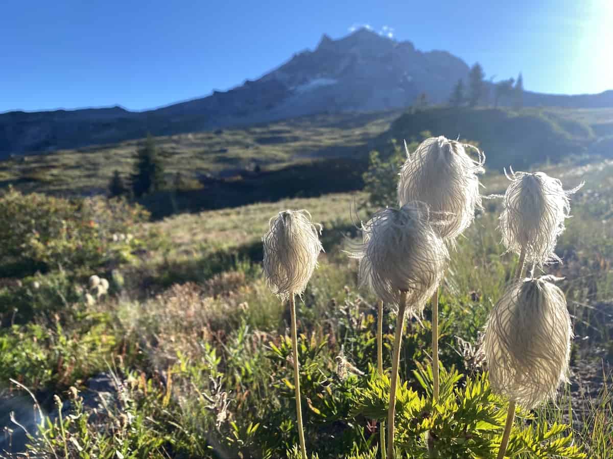
Elk Cove is my planned destination for the evening and I reach it in the late afternoon after hiking just shy of seventeen miles. I find several occupied sites along the creek, so I travel down the path to the campsites along Elk Cove Trail. There’s a great spot tucked amongst some trees, and a small cleared area nearby to sit and gaze at Mt. Hood while I make my dinner.
Surprisingly, I have great cell reception in this remote location, so I call Larry and we chat for awhile. It’s good to hear his voice and learn that our kids aren’t missing their nagging mom too much!
My SAR teammate and friend, Bill, texts me and tells me he and Karen, his wife, are staying at the nearby Toll Bridge State Park campground and have been hiking around the mountain the last two days. They are traveling out west in their Airstream, and coincidentally happened to be in the same spot at the same time! We make plans for me to stop by their site the following day, and I’m excited to see my friends in such a random location.
I sleep better than the previous night, checking my map before heading to bed to see how far Eliot Creek is—my most formidable crossing of the trip which awaits my arrival the next morning.
Day 3
I wake up with one mission—to reach Eliot Creek quickly so I can ford it before the heat of the day dumps more glacial water downstream. I’ve polled just about every Timberline thru hiker traveling counter clockwise, asking where they crossed it safely.
It’s a mixed bag of answers—the bravest (and/or hikers with the most balance) like traversing the precariously perched wet log; others like a spot downstream where there is rope spanning across the creek, anchored on two boulders on either side; and the third most popular answer is to scout out a spot in between the log and the rope, using a trekking pole to gauge the depth as they walk. I have no idea which I’ll choose until I see it with my own two eyes.
I pass two men just minutes before I reach the creek’s embankment. “Are you alone?”one of them asks me. “Yeah, why?” I respond. “You’ve got a sketchy creek crossing coming up. Just be really careful. We used the log but it’s not super stable. My wife ahead used the rope and was only up to about her knees.” I thank them for the intel and am excited that the area with the rope is so shallow!
I reach the embankment soon after and I’m not surprised to find that it’s treacherously steep. Everyone has said this is the most dangerous part of the endeavor, and now I see why. The loose, sandy scree is peppered with rocks, anywhere from pebble to car size. It would be easy to lose my footing and tumble down it. In fact, one hiker had to be airlifted out recently after doing just that.
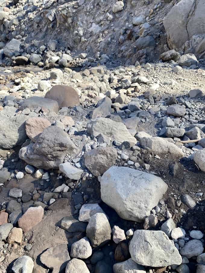
I scoot down the slope on my butt nearly the entire way, and even that’s a challenge in spots. I see the log upstream and immediately eliminate it from my choices. I hate log crossings and especially one that looks slick and unstable. Not to mention reaching the log would keep me on the embankment even longer as I fought to reach it.
I see the rope, but it’s at the base of a small cascade where the water is churning. Why the heck is it there, of all places, I wonder. I suspect it’s because the trail nearly connects in that spot across the creek.
Between the rope and log is a long stretch of the creek that has some areas that appear more passable. But the hitch is the embankment on the other side. It appears even steeper than what I just came down. And towards the top there are boulders which don’t appear stable enough to trust, at least with my inexperienced eye in this type of terrain.
I wait for a good 15 minutes, hoping someone else will come along so I can cross in their company. No one comes and the day is growing hotter by the minute. Ugh.
I have cell reception on the high ridge, so I text Larry and tell him I’m heading down and I’ll text on the other side once I get reception (or message him on my Garmin InReach if I can’t get a text to transmit). I always wonder what he’s thinking when he gets these texts. Is he as nervous as I would be if I received the same one from him? Sometimes I think he trusts my abilities more than I do, and I’m never sure if that’s a good or a bad thing.
“You’ve got this, Nancy,” I say aloud. “Just stay calm and take it slow.” I decide the rope is my best option. I unbuckle my hip belt and sternum strap, in case I need to shed my pack quickly if I go downstream. And then I take my first tentative step into the icy water. I keep my right hand on the rope and my left hand holding my hiking poles, which I use to gauge the depth of the water in front of me.
My first step is up to my knees, just as I’d hoped. But by the third step I’m mid thigh. I probe the rocks in front of me with my hiking poles, and it varies in depth depending where I poke. The current is strong and I hold tight to the rope, doing my best to place my foot in the most shallow spot I found. Except the current pushes me when I take my step and I sink to my belly button. It takes my breath away, it’s so shocking. My next two steps aren’t as deep, thankfully, and I emerge more efficiently.
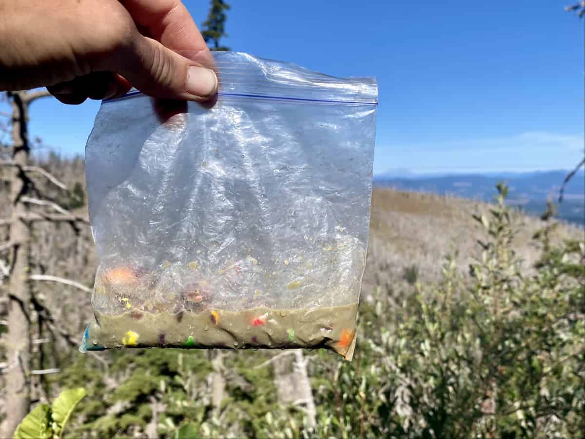
The entire crossing took no more than 30 seconds, but my legs are so cold that it takes a minute before they ambulate normally. The adrenaline rushing through them probably doesn’t help. My hiking dress is soaked up to my waist, as is the bag of candy I accidentally left open in my hip belt pocket. My reward for crossing the creek is ruined! Oh well, I’m only about a mile to the trailhead where I have plenty more. I’m just glad the crossing is behind me.
I text Larry to let him know I’m okay and reach my waiting truck. Cloud Cap Campground has an outhouse with a pit toilet, so I indulge in the luxury of changing into dry clothes without needing to hide from other hikers in the truck’s cab. It’s the little things in the backcountry.
I slowly make my way down the winding mountain road and arrive one hour later at the Toll Bridge State Park Campground. Bill and Karen greet me and we catch up for a couple of hours over a delicious lunch that Karen prepared, full of some of my most favorite fresh foods.
As an introvert, I cherish quiet time to myself, especially on my “mombatticals.” But I missed having the company of my girlfriends who were supposed to come with me, so I cherish the time with Bill and Karen—an unexpected bow on the gift of the Timberline Trail.
Later that evening, I enjoy a Deschutes beer and half a pint of Tillamook Ice Cream (in a flavor that they don’t sell on the east coast). Yum! I’m nearly too excited to sleep, because tomorrow I’m checking off a bucket list item—summiting Mt. St. Helens!
Happy trails,
Nancy
[content-upgrade id=”3163″]