Day 8 of the West Highland Way –15.2 miles to the finish! (Kinlochleven to Fort William)
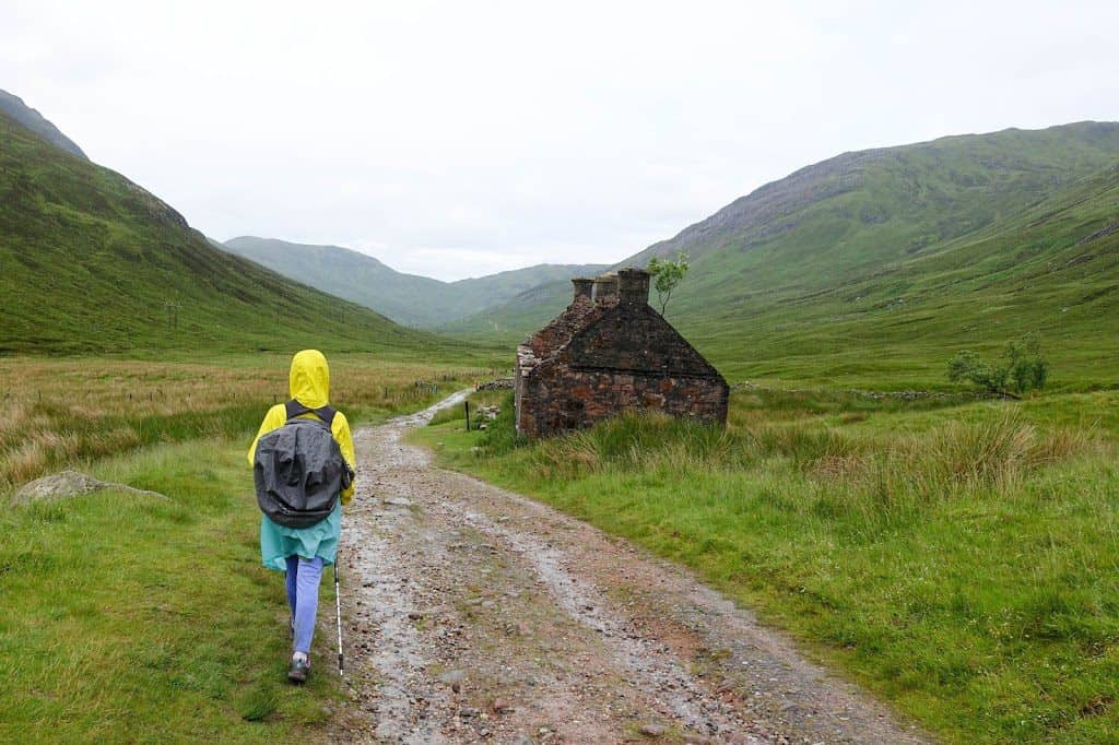
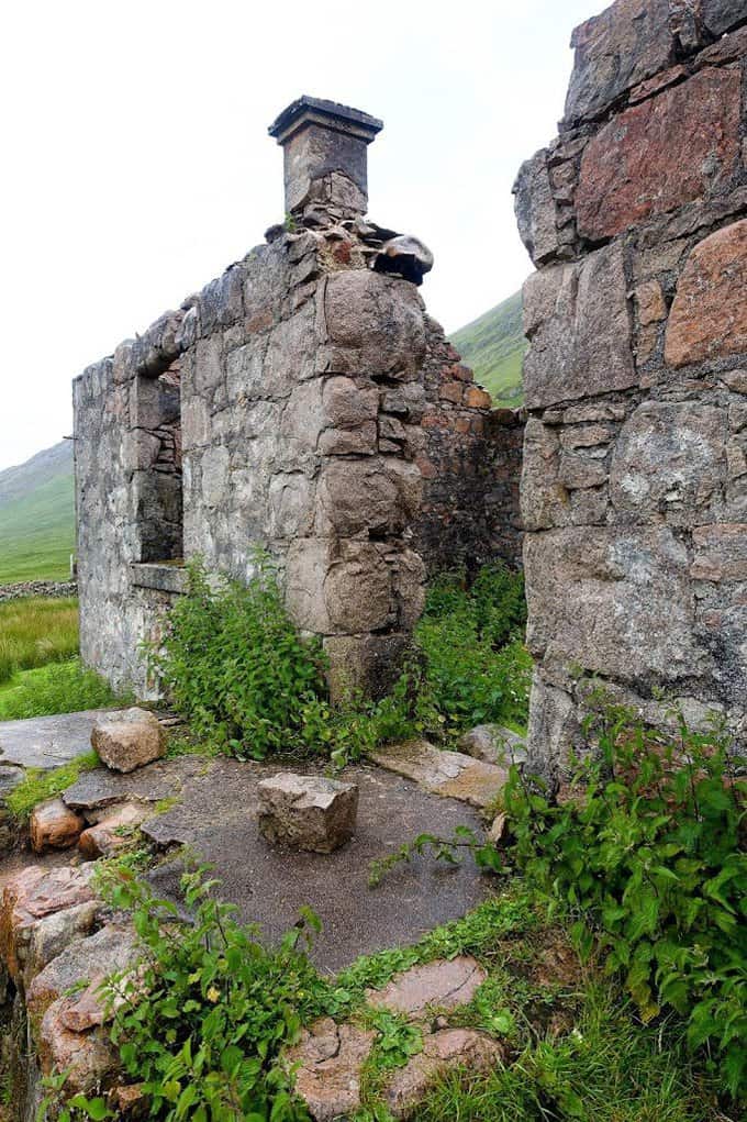
If these walls could talk…
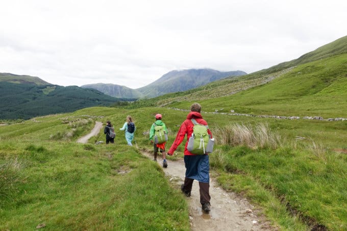
Ben Nevis, the United Kingdom’s tallest mountain was eventually in our view and it’s quite formidable since it rises from such a low elevation (actual elevation is 4,413 feet). We also passed through forested areas that had been logged, the landscape scarred and barren. It was a significant contrast to everything we had seen in the past seven days, so Ben Nevis in front of us was a nice distraction.
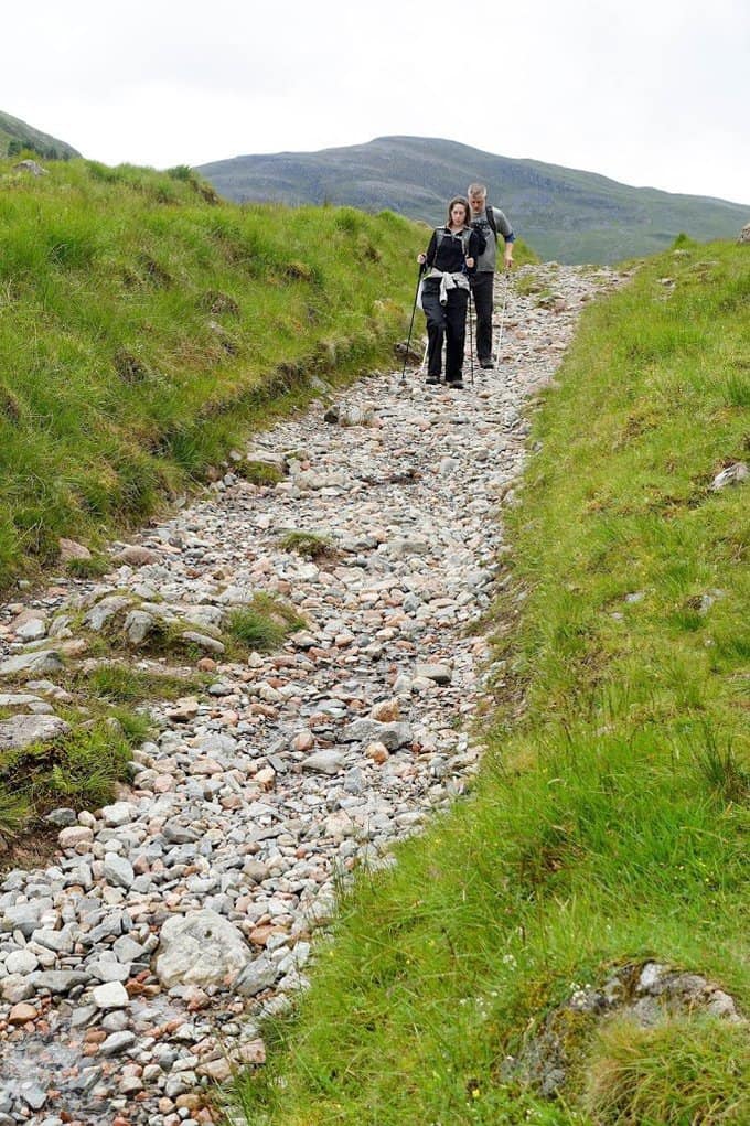
The rocky trail was rough on already sore feet
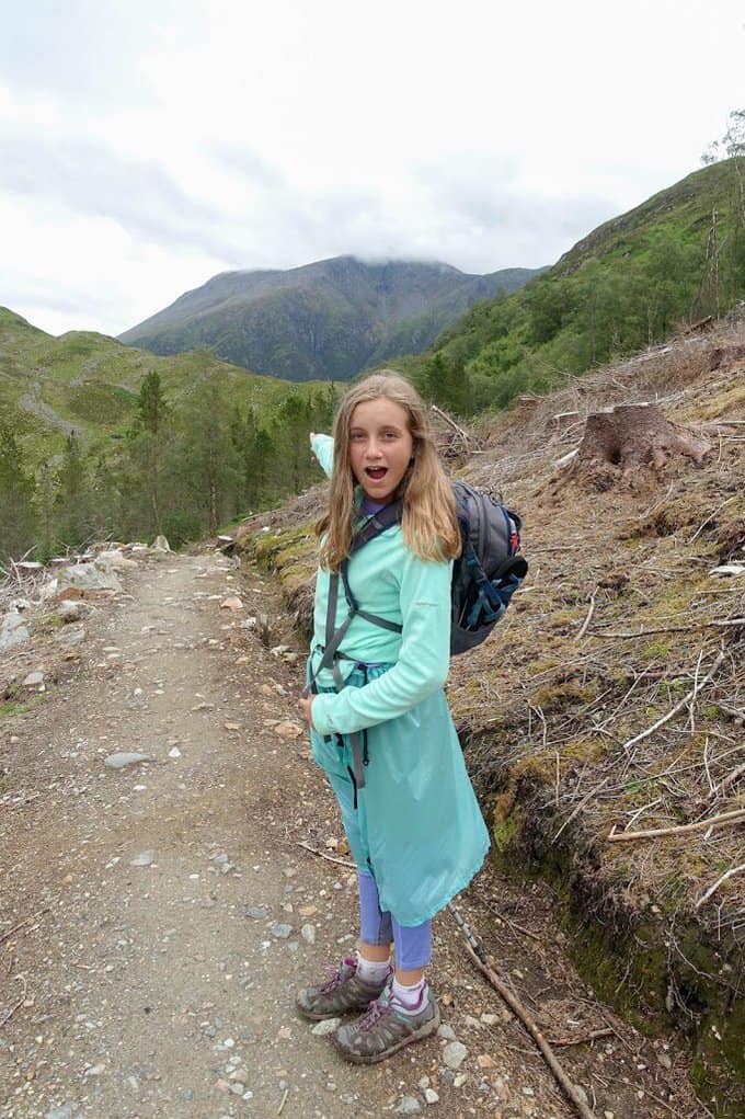
Look Mom! Ben Nevis!
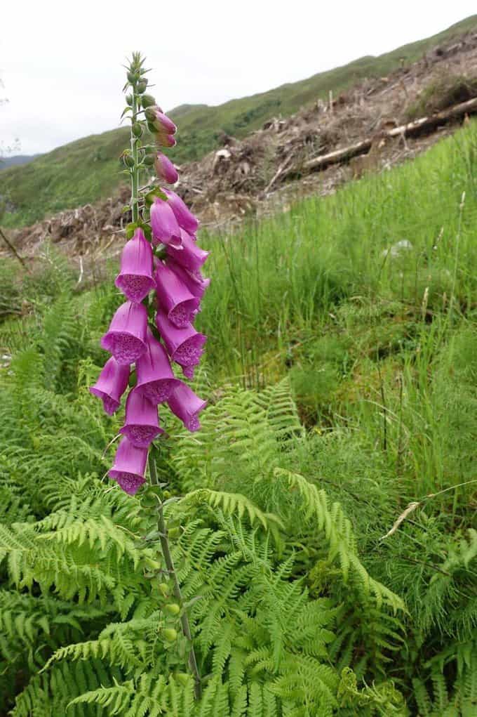
Even with the missing trees, beauty prevails
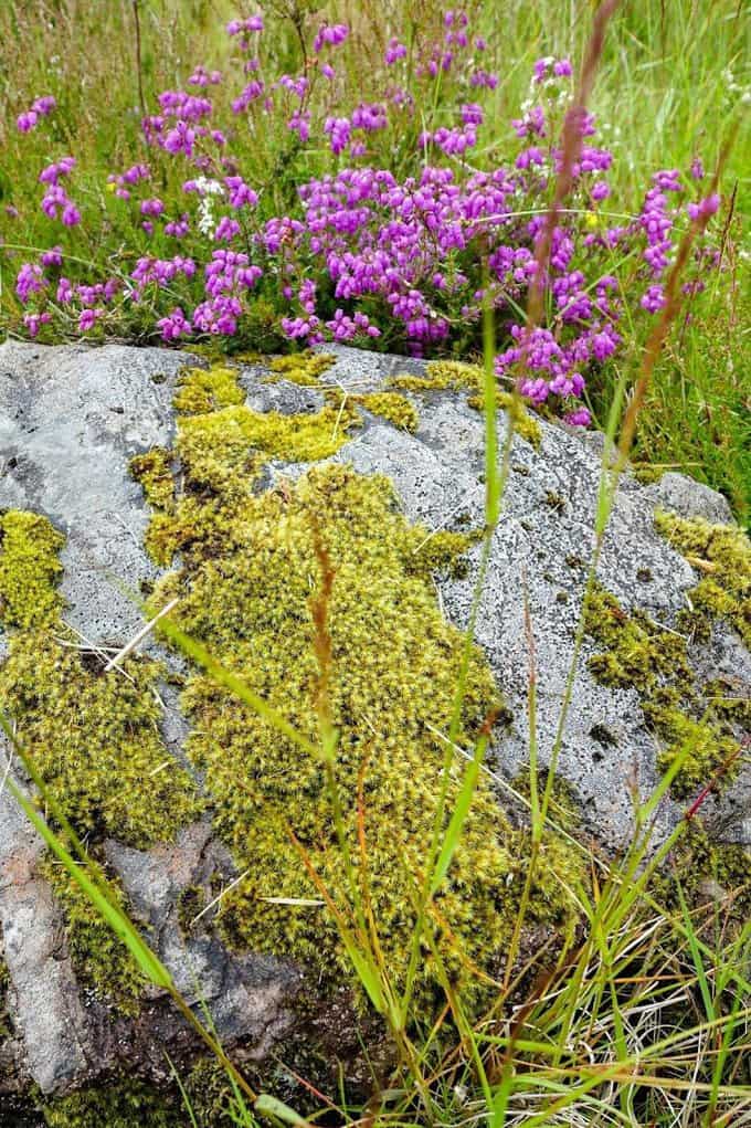
Oh Scotland, how I love your vibrant colors!
We had read that the official route for the Way is along a busy road for the last couple of miles, so we opted for a more scenic (and safer) alternate route. It didn’t disappoint, climbing to reveal views of Fort William below.
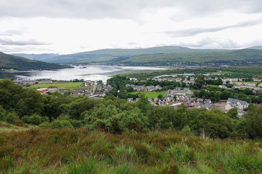
Fort William
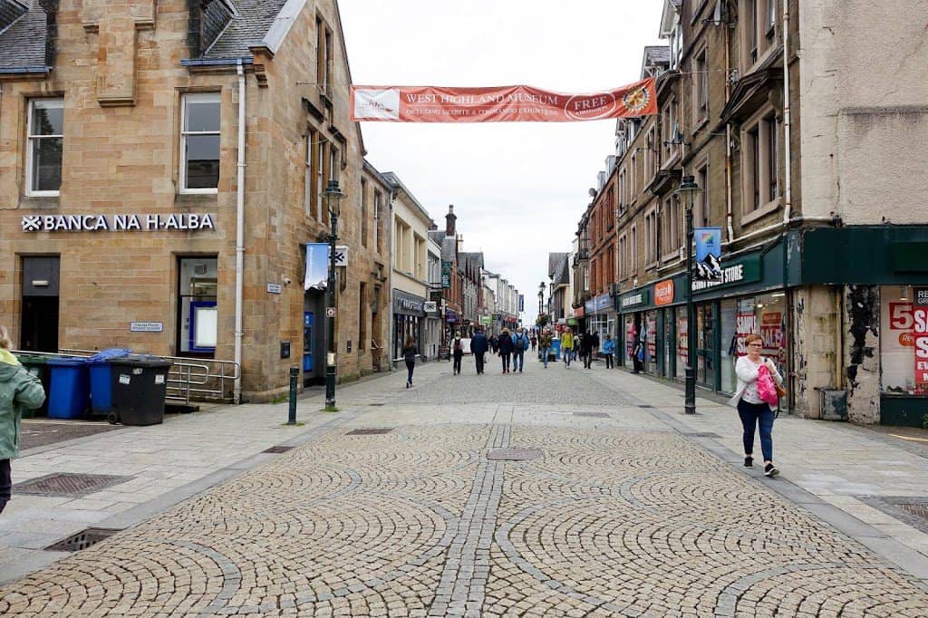
The final stretch of trail goes straight through Fort William’s downtown shopping district
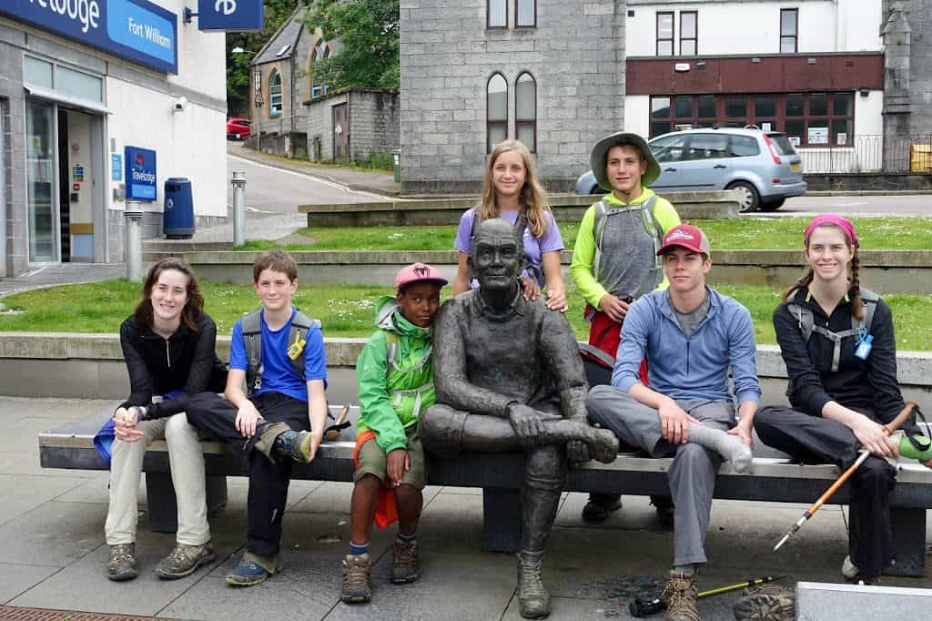
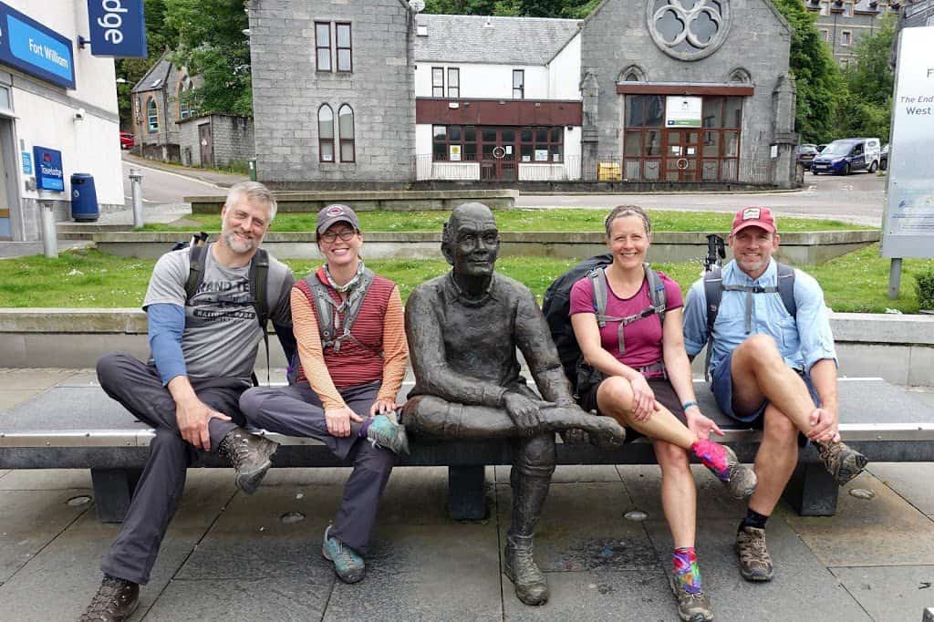
We descended into town and before we knew it we had the northern terminus marker was in sight! The kids all ran up and touched it and we all took turns for photo ops in front of it.
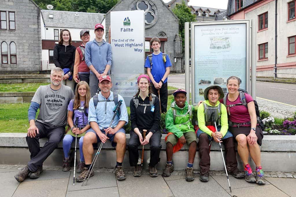
We did it!
In a world of every mode of transportation imaginable and technology taking us to places near and far virtually, to walk a path and notice the wildflowers, the old, rocky military roads where thousands of feet have walked before them, the sounds of the birds, the companionship of conversation, laughter and even tears with friends, the rain without cover other than protective clothing, the feeling of instant relief your tired and achy feet get by simply removing your shoes, and most importantly, the clarity in their souls that only the simple act of spending time outdoors can bring, are just a few of the reasons why I insist on these walkabout trips for our family. They may not understand now or even admit to enjoying it as much as their parents, but retrospectively I believe with all my heart that they will “get it” one day and reflect with fond nostalgia on time well spent.
What wonderful lessons to impart to your children! Thanks for sharing!
Thank you, Jeanne! You know I how much I have loved following your own journeys. I think you and Mel would love this entire trail and I would personally love reading about it, hint, hint! 😉